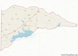
Cooper is a city in and the county seat of Delta County, in the U.S. state of Texas. Located between the north and south forks of the Sulphur River, Cooper is the largest settlement in Delta County. As of the 2020 United States census, the city had a population of 1,911.
First inhabited by native people, Cooper was founded around 1870, at the same time that Delta County was established. Cooper grew rapidly and quickly became the center of local events. The city’s economy relied primarily on agriculture and the shipping of local goods. In the mid-1890s, a railroad line was built through the city, assisting in Cooper’s growth. The city continued to grow through the 1910s, and into the early 1920s. In 1926, however, the region’s cotton crop failed, devastating the local economy. Many businesses were forced to close, including the railroad, and the city’s population plummeted. Although Cooper began to recover during the mid-1930s, many people who left did not return, and the city never fully recovered. The local economy continued to rely on the growing of cotton as the main economy into the 1960s, until it began to shift to wheat growing in the early 1970s. The population of Cooper has been on a slow decline since the 1970s.
Cooper currently has no sites listed on the National Register of Historic Places. The city’s economy still relies largely on agriculture. Cooper is located on the eastern edge of the Dallas–Fort Worth metroplex (DFW metroplex), a large, 12-county metropolitan area, one of the most populated in the country.
| Name: | Cooper city |
|---|---|
| LSAD Code: | 25 |
| LSAD Description: | city (suffix) |
| State: | Texas |
| County: | Delta County |
| Founded: | 1870 |
| Elevation: | 482 ft (147 m) |
| Total Area: | 1.47 sq mi (3.80 km²) |
| Land Area: | 1.46 sq mi (3.79 km²) |
| Water Area: | 0.01 sq mi (0.01 km²) |
| Total Population: | 1,911 |
| Population Density: | 1,300/sq mi (500/km²) |
| ZIP code: | 75432 |
| Area code: | 903 |
| FIPS code: | 4816564 |
| GNISfeature ID: | 1354942 |
Online Interactive Map
Click on ![]() to view map in "full screen" mode.
to view map in "full screen" mode.
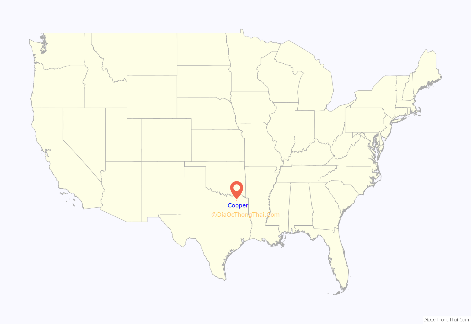
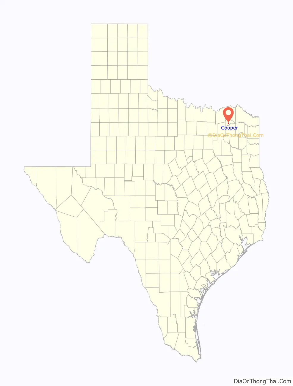
Cooper location map. Where is Cooper city?
History
Before establishment
The first inhabitants of the area that is now the site of Cooper were the Caddo Indians, who settled large portions of eastern Texas as early as 800 CE. The Caddo were highly advanced, living in large wooden structures, and were skilled farmers. The first European to visit the area was French explorer François Hervey, who discovered the area around 1750. However, a few decades later, some of the Indians caught European diseases and along with attacks from neighboring Indian tribes, forced the Caddo out of the area around Cooper. Around 1820, Delaware, Quapaw, and Seminole tribes settled in the area. In 1836, the Republic of Texas officially recognized the region around Cooper as part of Red River County. In 1840, Lamar County was formed, absorbing the Cooper area. However, just six years later, the region was designated as part of the newly formed Hopkins County.
After the Civil War, the region around the site of Cooper began to grow and develop. People in nearby Ben Franklin, Texas, grew tired of the poor road conditions that connected the region. In 1868, people in the area petitioned the state government to create a new county located between the north and south forks of the Sulphur River. On July 29, 1870, after two years of debating, the state of Texas granted the request for the new county. Shortly afterwards, the first settlements were built in Cooper and the town was established. The community was named after Leroy Cooper, the chairman of the Texas House Committee on Counties and Boundaries, who helped establish the new county. Cooper was selected as the seat for the county, which was named Delta County due to its triangular shape.
Since establishment
Cooper grew rapidly after being established, with a post office built in the community in 1871. Cooper was incorporated into a town in 1881 and held its first government elections. That same year, Cooper constructed the county courthouse. The town became the main market center for Delta County, and by 1885, Cooper had a population around 300. The Texas Midland Railroad, which ran through Cooper, was chartered in 1892. The railroad helped promote the rapid growth of the town. By 1896, Cooper’s population had passed 1,000 people, and contained two churches, a school, and 21 businesses, including a bank and a hotel. The town also had two weekly newspapers. Cooper continued to grow into the early 1900s, especially in the area of agriculture. From the early 1890s to around 1910, farms boomed both in number and in value, with the number of cash crops nearly tripling. The region produced over 70,000 chickens and almost 7,000 pigs yearly.
Cooper continued to grow into the 1920s. The bank had been rebuilt in 1909, and the region’s crops continued to prosper. Cooper reported its largest population, 2,563, in 1925. Delta County was hit by the Great Depression early, though. In late 1926, the community’s cotton crop failed, forcing many residents to withdraw their savings. The bank was forced to close in 1927, and by the time it reopened a few months later, the region’s economy had plummeted. Several families moved away from Cooper during the early 1930s, and in 1933, the bank was forced to close again. The Midland Texas Railroad failed, hurting Cooper’s economy further. The New Deal program offered government-financed construction projects in Cooper, and in 1940, the Works Progress Administration demolished the former courthouse in Cooper and replaced it with a new one at a cost of $110,450 (equivalent to $2,136,300 respectively in 2022). However, even with the stability of the economy, Cooper’s population remained low until the 1950s, when it returned to about 2,350 people. The population declined again in the 1980s, and has continued to slowly decline. Cooper had roughly 60 businesses in the 1970s and 1980s, and in 1986, work on Cooper Lake had begun. Filling of the lake began in September 1991, and by the next year, the lake was open for recreation. At that time, Cooper reported having 70 businesses, and a population around 2,200. By 2000, the population had dropped by about 50 people and an estimate for 2016 is 1,957 inhabitants.
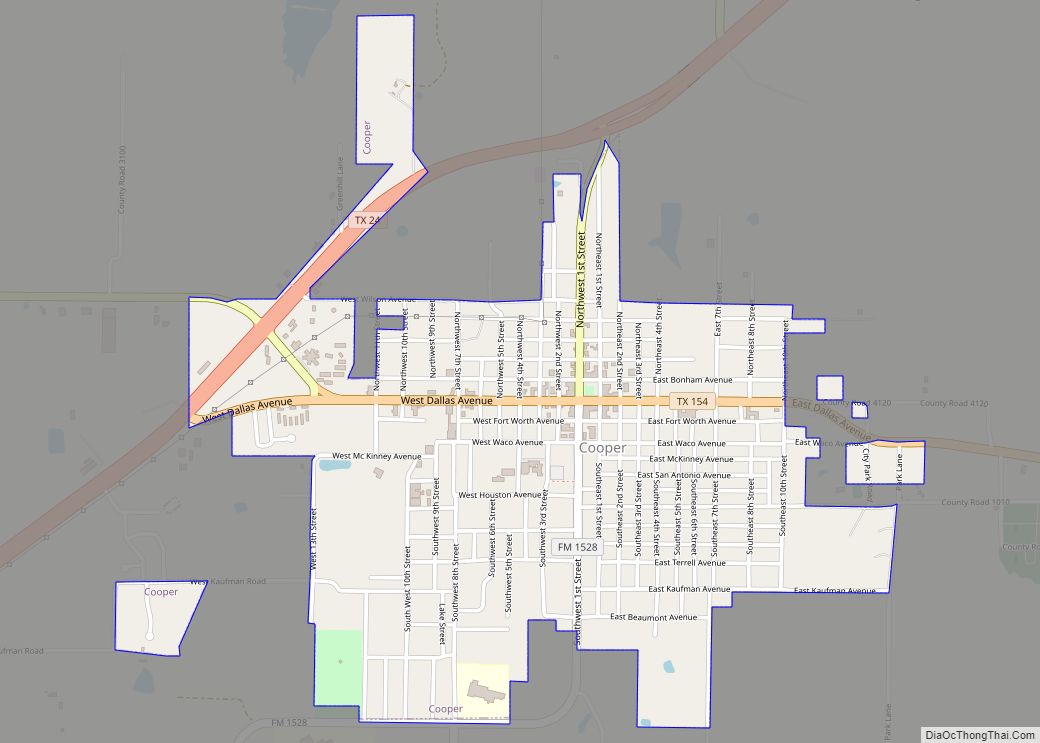
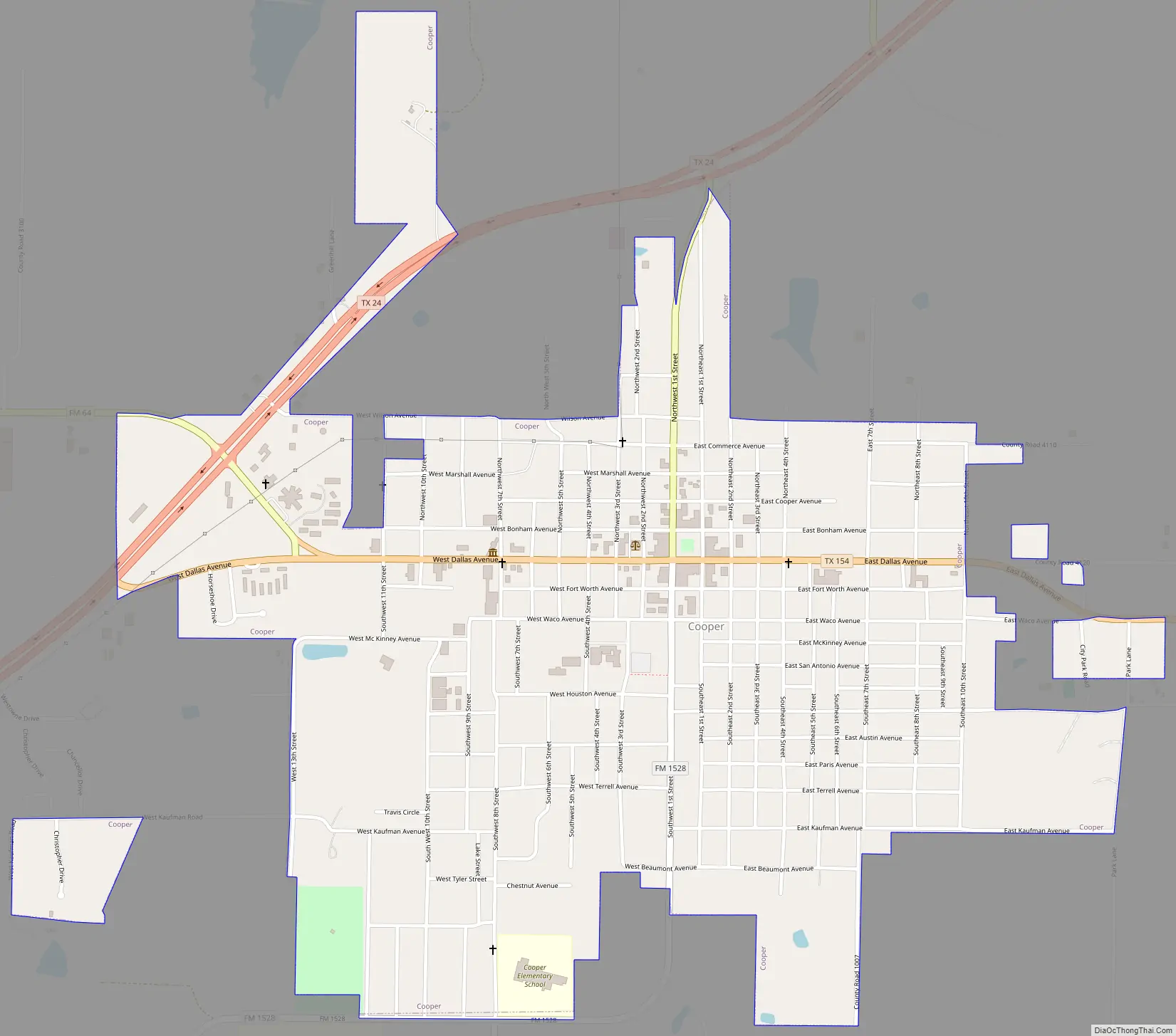
Cooper Road Map
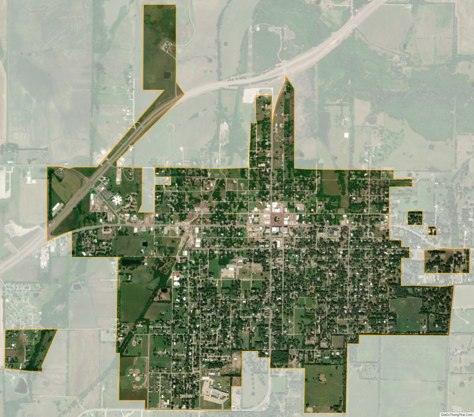
Cooper city Satellite Map
Geography
Cooper is the county seat of Delta County, as well as its most populated city. According to statistics from the United States Census Bureau, the city has a total area of 1.5 sq mi (3.9 km), of which 1.4 sq mi (3.6 km) (99.31%) is land. About 0.1 sq mi (0.26 km) (0.69%) is covered by water.
Cooper is located at an elevation of 482 ft (147 m), a few miles north of Cooper Lake, between the north and south forks of the Sulphur River. It is located about 76 miles (122 km) northeast of Dallas and 94 miles (151 km) west of Texarkana. Texas State Highway 24 bypasses Cooper to the north; however, Texas State Highway 24 Business splits off and passes through the center of the city. Texas State Highway 154 begins at the western edge of Cooper and passes through the center of the city, intersecting Farm to Market Road 1528 near the county courthouse. Farm to Market Road 64 enters the very western portion of Cooper before terminating at State Highway 24. Nearby highways include Farm to Market Road 1880 and Farm to Market Road 1529.
Cooper, as well as most of Delta County, is located in the Texas Blackland Prairies region, a flat, tall-grass prairie ecosystem that covers a large portion of north-central Texas. The region’s elevation rarely differs from around 400 to 500 ft (120 to 150 m). The area’s geology consists mainly of deep clay, or clay mixed with a dark-colored loam. However, the county is also known to have high-quality topsoil, ideal for crop growing.
Climate
Under the Köppen climate classification, Cooper is in zone Cfa with warm, wet summers and a humid subtropical climate. The average temperature in Cooper in January is 43 °F (6 °C), and in July it is 92 °F (33 °C). Its highest recorded temperature was 115 °F (46 °C) in 1969, and the lowest recorded temperature was −4 °F (−20 °C) in 1989. The average wettest month is October. The average coolest month is January, while the average hottest month is August.
See also
Map of Texas State and its subdivision:- Anderson
- Andrews
- Angelina
- Aransas
- Archer
- Armstrong
- Atascosa
- Austin
- Bailey
- Bandera
- Bastrop
- Baylor
- Bee
- Bell
- Bexar
- Blanco
- Borden
- Bosque
- Bowie
- Brazoria
- Brazos
- Brewster
- Briscoe
- Brooks
- Brown
- Burleson
- Burnet
- Caldwell
- Calhoun
- Callahan
- Cameron
- Camp
- Carson
- Cass
- Castro
- Chambers
- Cherokee
- Childress
- Clay
- Cochran
- Coke
- Coleman
- Collin
- Collingsworth
- Colorado
- Comal
- Comanche
- Concho
- Cooke
- Coryell
- Cottle
- Crane
- Crockett
- Crosby
- Culberson
- Dallam
- Dallas
- Dawson
- Deaf Smith
- Delta
- Denton
- Dewitt
- Dickens
- Dimmit
- Donley
- Duval
- Eastland
- Ector
- Edwards
- El Paso
- Ellis
- Erath
- Falls
- Fannin
- Fayette
- Fisher
- Floyd
- Foard
- Fort Bend
- Franklin
- Freestone
- Frio
- Gaines
- Galveston
- Garza
- Gillespie
- Glasscock
- Goliad
- Gonzales
- Gray
- Grayson
- Gregg
- Grimes
- Guadalupe
- Hale
- Hall
- Hamilton
- Hansford
- Hardeman
- Hardin
- Harris
- Harrison
- Hartley
- Haskell
- Hays
- Hemphill
- Henderson
- Hidalgo
- Hill
- Hockley
- Hood
- Hopkins
- Houston
- Howard
- Hudspeth
- Hunt
- Hutchinson
- Irion
- Jack
- Jackson
- Jasper
- Jeff Davis
- Jefferson
- Jim Hogg
- Jim Wells
- Johnson
- Jones
- Karnes
- Kaufman
- Kendall
- Kenedy
- Kent
- Kerr
- Kimble
- King
- Kinney
- Kleberg
- Knox
- La Salle
- Lamar
- Lamb
- Lampasas
- Lavaca
- Lee
- Leon
- Liberty
- Limestone
- Lipscomb
- Live Oak
- Llano
- Loving
- Lubbock
- Lynn
- Madison
- Marion
- Martin
- Mason
- Matagorda
- Maverick
- McCulloch
- McLennan
- McMullen
- Medina
- Menard
- Midland
- Milam
- Mills
- Mitchell
- Montague
- Montgomery
- Moore
- Morris
- Motley
- Nacogdoches
- Navarro
- Newton
- Nolan
- Nueces
- Ochiltree
- Oldham
- Orange
- Palo Pinto
- Panola
- Parker
- Parmer
- Pecos
- Polk
- Potter
- Presidio
- Rains
- Randall
- Reagan
- Real
- Red River
- Reeves
- Refugio
- Roberts
- Robertson
- Rockwall
- Runnels
- Rusk
- Sabine
- San Augustine
- San Jacinto
- San Patricio
- San Saba
- Schleicher
- Scurry
- Shackelford
- Shelby
- Sherman
- Smith
- Somervell
- Starr
- Stephens
- Sterling
- Stonewall
- Sutton
- Swisher
- Tarrant
- Taylor
- Terrell
- Terry
- Throckmorton
- Titus
- Tom Green
- Travis
- Trinity
- Tyler
- Upshur
- Upton
- Uvalde
- Val Verde
- Van Zandt
- Victoria
- Walker
- Waller
- Ward
- Washington
- Webb
- Wharton
- Wheeler
- Wichita
- Wilbarger
- Willacy
- Williamson
- Wilson
- Winkler
- Wise
- Wood
- Yoakum
- Young
- Zapata
- Zavala
- Alabama
- Alaska
- Arizona
- Arkansas
- California
- Colorado
- Connecticut
- Delaware
- District of Columbia
- Florida
- Georgia
- Hawaii
- Idaho
- Illinois
- Indiana
- Iowa
- Kansas
- Kentucky
- Louisiana
- Maine
- Maryland
- Massachusetts
- Michigan
- Minnesota
- Mississippi
- Missouri
- Montana
- Nebraska
- Nevada
- New Hampshire
- New Jersey
- New Mexico
- New York
- North Carolina
- North Dakota
- Ohio
- Oklahoma
- Oregon
- Pennsylvania
- Rhode Island
- South Carolina
- South Dakota
- Tennessee
- Texas
- Utah
- Vermont
- Virginia
- Washington
- West Virginia
- Wisconsin
- Wyoming