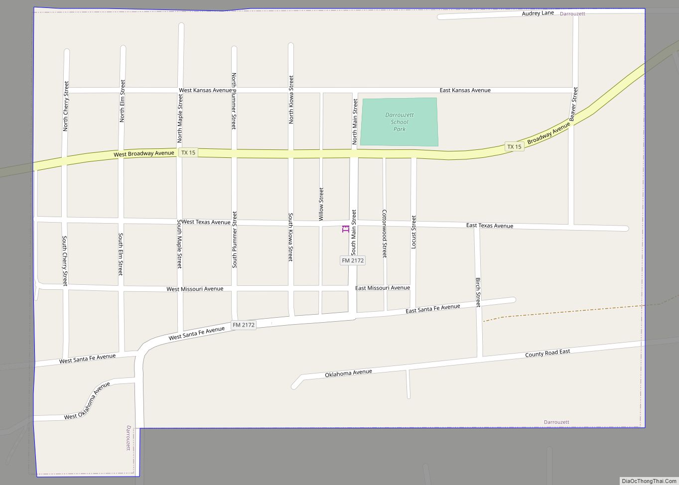
Map of Dayton Lakes city

Map of Dayton Lakes city

Dayton Lakes is a city in Liberty County, Texas, United States. The population was 93 at the 2010 census. Prior to 1985 Dayton Lakes city was a developed and marketed recreational subdivision named Dayton Lake Estates. In January 1985 the corporation that marketed the original subdivision held and election of residents and when the election … Read more

Map of Dawson town, Texas

Map of Dawson town, Texas

Dawson is a town in Navarro County, in the U.S. state of Texas. The population was 807 at the 2010 census. Dawson town overview: Name: Dawson town LSAD Code: 43 LSAD Description: town (suffix) State: Texas County: Navarro County Elevation: 482 ft (147 m) Total Area: 1.80 sq mi (4.67 km²) Land Area: 1.78 sq mi (4.62 km²) Water Area: 0.02 sq mi (0.04 km²) Total … Read more

Map of Denver City town

Map of Denver City town

Denver City is a city located in Gaines County and Yoakum County in the far western portion of the U.S. state of Texas, just a short distance from the New Mexico boundary. It is named for the petroleum company Denver Productions. The population was 4,479 at the 2010 census. The city is located at the … Read more

Map of Denison city, Texas

Map of Denison city, Texas

Denison is a city in Grayson County, Texas, United States, 1 mile (1.6 km) south of the Texas–Oklahoma border. Its population was 24,479 at the 2020 and 22,682 at the 2010 censuses. Denison is part of the Texoma region and is one of two principal cities in the Sherman–Denison metropolitan statistical area. Denison is the birthplace … Read more

Map of Delmita CDP

Map of Delmita CDP

Delmita is a census-designated place in Starr County, Texas, United States. Its elevation is 272 feet (83 m). Although Delmita is unincorporated, it has a post office, with the ZIP code of 78536. This CDP was new for the 2010 census with a population of 216. It was founded as Zaragosa in 1919. The community’s name was … Read more

Map of Dell City city

Map of Dell City

Dell City is a city in Hudspeth County, Texas. The population was 365 at the time of the 2010 census, down from 413 at the time of the 2000 census. It is near the former location of Paulville, a failed Ron Paul-inspired Libertarian cooperative and planned community. It was incorporated in 1948, shortly after the … Read more

Map of Del Sol CDP

Map of Del Sol CDP

Del Sol is a census-designated place (CDP) in San Patricio County, Texas, United States. The population was 239 at the 2010 census. Prior to the 2010 census Del Sol was part of the Del Sol-Loma Linda CDP. Del Sol CDP overview: Name: Del Sol CDP LSAD Code: 57 LSAD Description: CDP (suffix) State: Texas County: … Read more

Map of Del Rio city, Texas

Map of Del Rio city, Texas

Del Rio is a city and the county seat of Val Verde County in southwestern Texas, United States. The city is 152 miles west of San Antonio. As of 2020, Del Rio had a population of 34,673. Del Rio city overview: Name: Del Rio city LSAD Code: 25 LSAD Description: city (suffix) State: Texas County: … Read more

Map of Del Mar Heights CDP

Map of Del Mar Heights CDP

Del Mar Heights is a census-designated place (CDP) in Cameron County, Texas, United States. The population was 113 at the 2010 census. It is part of the Brownsville–Harlingen Metropolitan Statistical Area. Del Mar Heights CDP overview: Name: Del Mar Heights CDP LSAD Code: 57 LSAD Description: CDP (suffix) State: Texas County: Cameron County Elevation: 14 ft … Read more

Map of Deer Park city, Texas

Map of Deer Park city, Texas

Deer Park is a city in the U.S. state of Texas within the Houston–Sugar Land–Baytown metropolitan area. The city is located in Harris County and is situated in Southeast Harris County. At the 2020 U.S. census, the population of Deer Park was 34,495. Deer Park city overview: Name: Deer Park city LSAD Code: 25 LSAD Description: city (suffix) … Read more

Map of DeSoto city

Map of DeSoto city

DeSoto is a city in Dallas County, Texas, in the United States. DeSoto is a suburb of Dallas and is part of the Best Southwest area, which includes DeSoto, Cedar Hill, Duncanville, and Lancaster. DeSoto city overview: Name: DeSoto city LSAD Code: 25 LSAD Description: city (suffix) State: Texas County: Dallas County Incorporated: 1949 Elevation: … Read more

Map of Deport city

Map of Deport city

Deport is a city in Lamar and Red River counties in the U.S. state of Texas. The population was 550 at the 2020 census. Deport city overview: Name: Deport city LSAD Code: 25 LSAD Description: city (suffix) State: Texas County: Lamar County, Red River County Elevation: 413 ft (126 m) Total Area: 1.11 sq mi (2.88 km²) Land Area: 1.11 sq mi … Read more