Denison is a city in Grayson County, Texas, United States, 1 mile (1.6 km) south of the Texas–Oklahoma border. Its population was 24,479 at the 2020 and 22,682 at the 2010 censuses. Denison is part of the Texoma region and is one of two principal cities in the Sherman–Denison metropolitan statistical area. Denison is the birthplace of US President Dwight D. Eisenhower.
| Name: | Denison city |
|---|---|
| LSAD Code: | 25 |
| LSAD Description: | city (suffix) |
| State: | Texas |
| County: | Grayson County |
| Founded: | 1872 |
| Elevation: | 728 ft (222 m) |
| Land Area: | 28.61 sq mi (74.09 km²) |
| Water Area: | 0.46 sq mi (1.18 km²) 1.94% |
| Population Density: | 892.44/sq mi (344.57/km²) |
| Area code: | 903 |
| FIPS code: | 4819900 |
| GNISfeature ID: | 1379652 |
| Website: | www.cityofdenison.com |
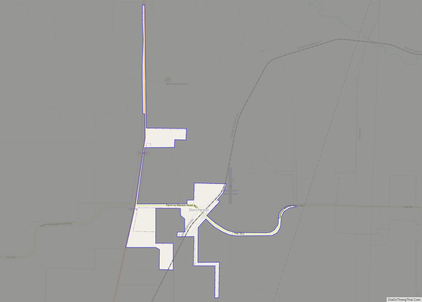
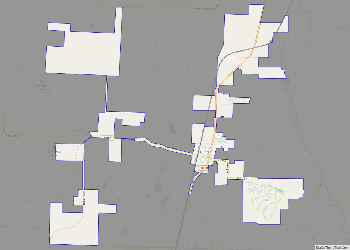
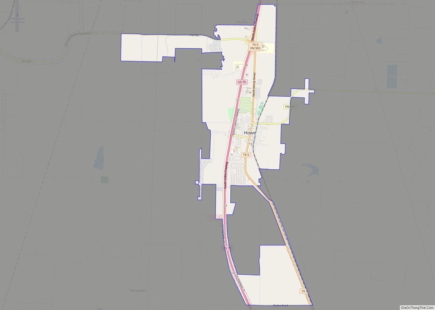
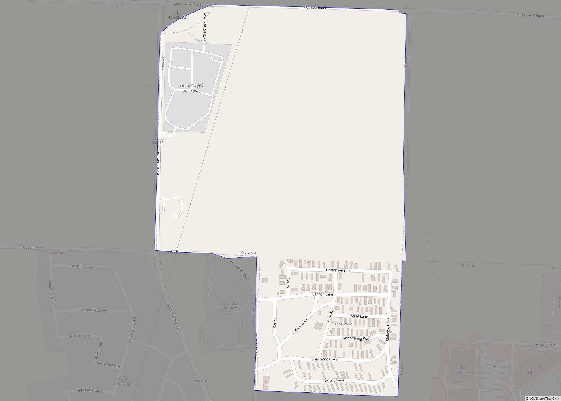
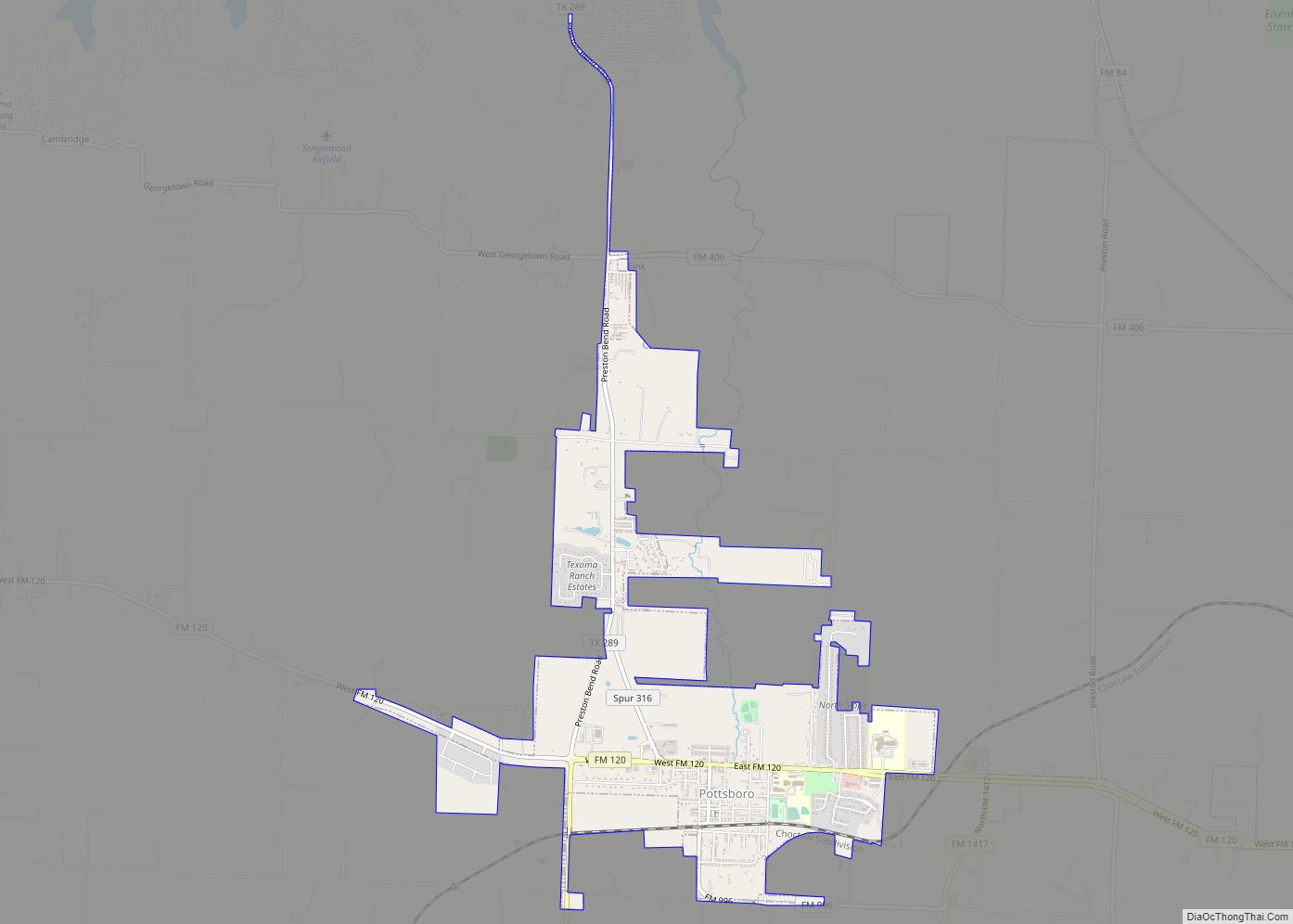
Online Interactive Map
Click on ![]() to view map in "full screen" mode.
to view map in "full screen" mode.
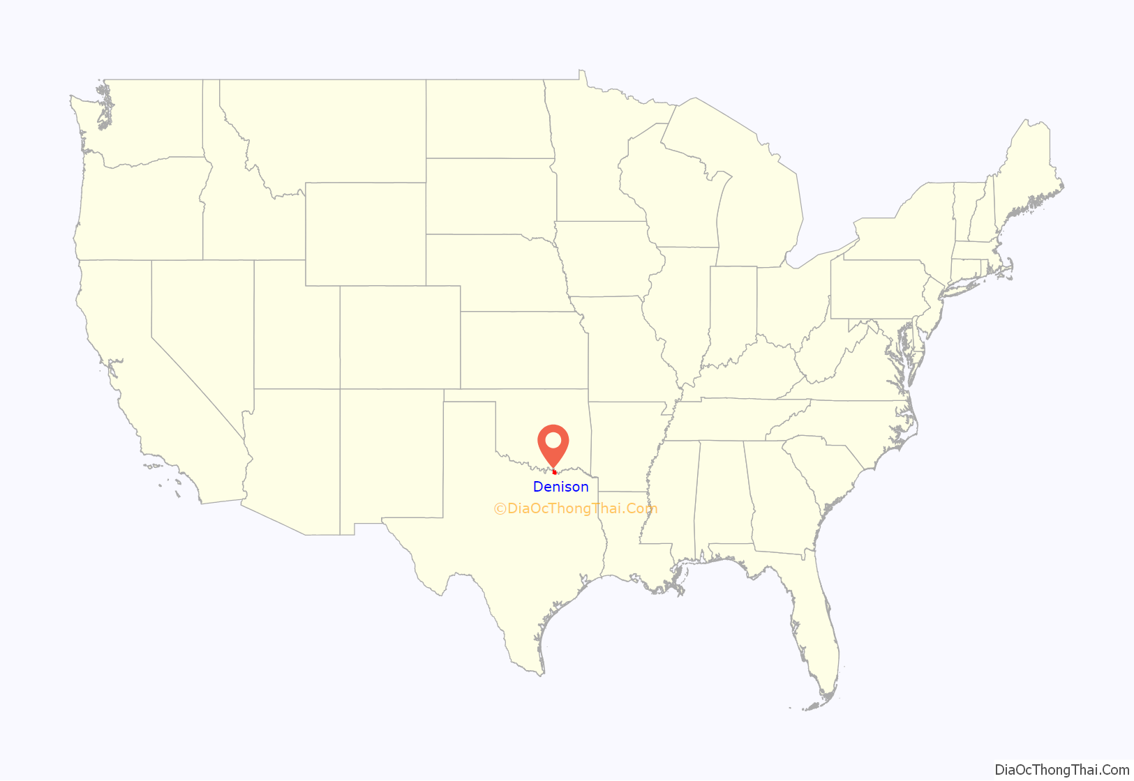
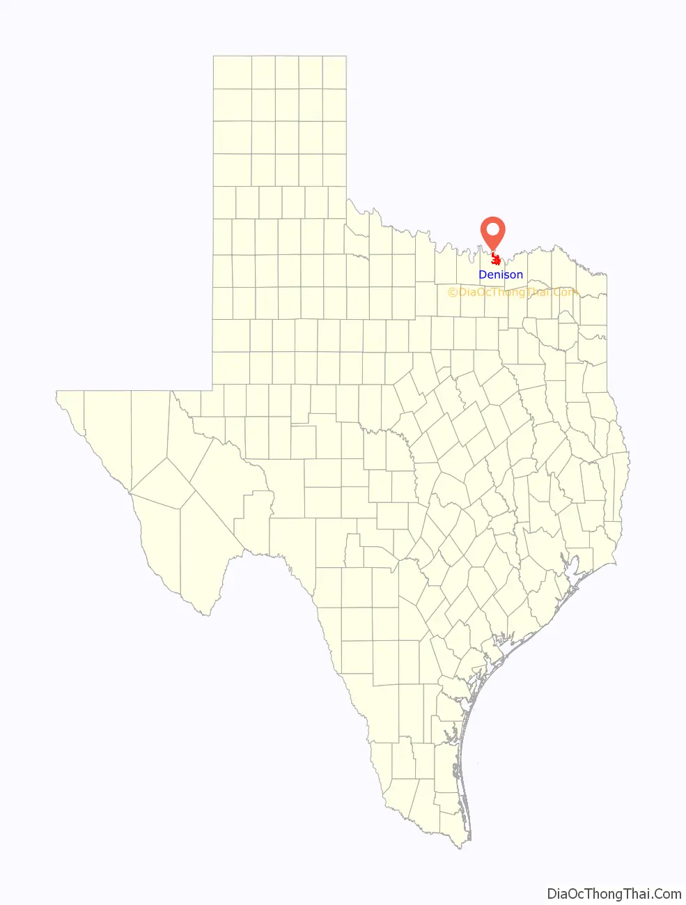
Denison location map. Where is Denison city?
History
Denison was founded in 1872 in conjunction with the Missouri–Kansas–Texas Railroad (MKT) or “Katy” depot. It was named after wealthy Katy vice president George Denison. Because the town was established close to where the MKT crossed the Red River (both important conduits of transportation in the industrial era), it came to be an important commercial center in the 19th-century American West. In 1875, Doc Holliday had offices in Denison.
During the phylloxera epidemic of the mid-19th century, which destroyed the vast majority of wine grapes in Europe, Denison horticulturalist T.V. Munson pioneered methods in creating phylloxera-resistant vines, and earned induction into the French Legion of Honor, as well as sister city status for Denison and Cognac, France.
In 1901, the first electric “Interurban” railway in Texas, the Denison and Sherman Railway, was completed between Denison and Sherman.
In 1915, Kentucky-based evangelist Mordecai Ham held a revival meeting in Denison, which resulted in 1,100 professions of faith in Jesus Christ.
Denison played host to 20th-century notables such as the Marx Brothers and President Dwight D. Eisenhower, who was born on October 14, 1890, in Denison.
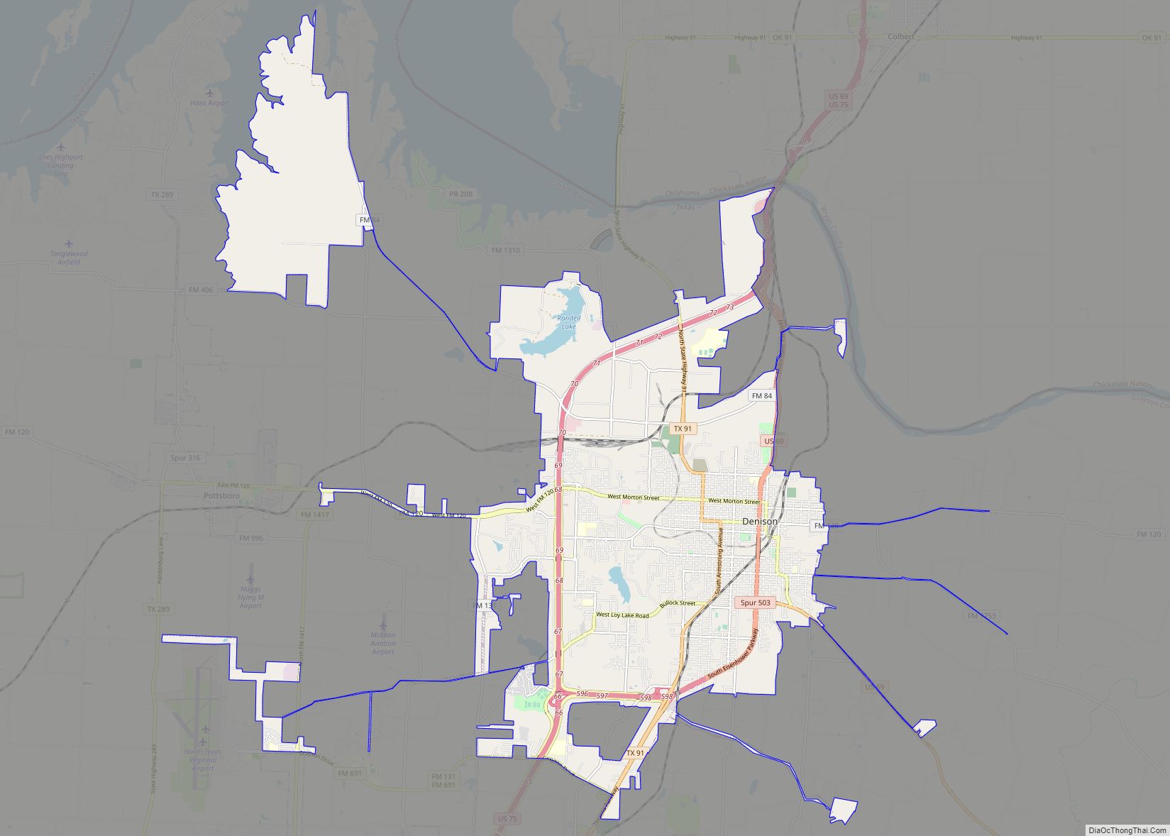
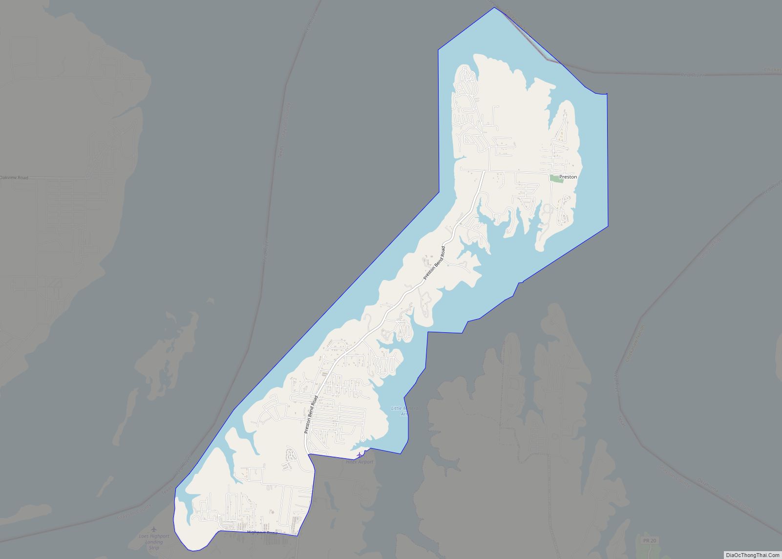
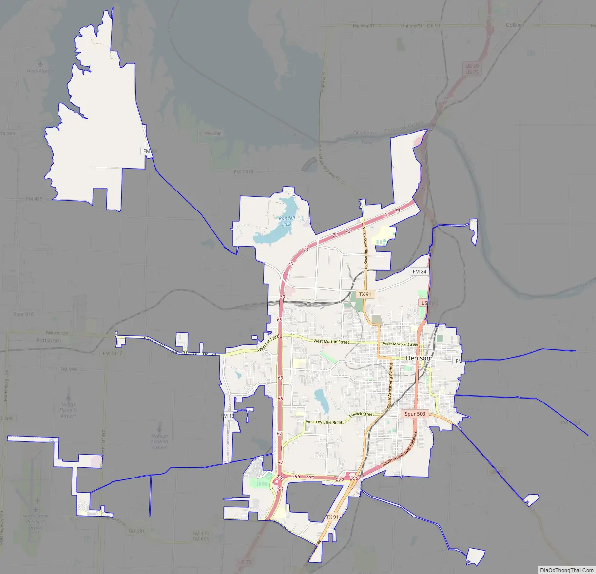
Denison Road Map
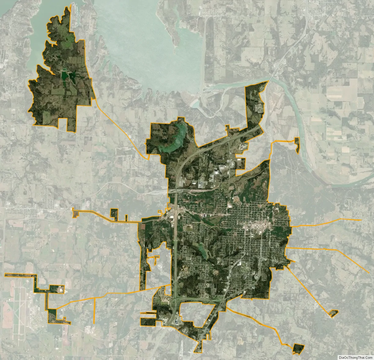
Denison city Satellite Map
Geography
Denison is located in northeastern Grayson County, with the city limits extending north to the Red River, which forms the Oklahoma state line. It is bordered to the south by the city of Sherman; the city centers are 11 miles (18 km) apart.
According to the United States Census Bureau, Denison has a total area of 23.4 square miles (60.7 km), of which 0.46 square miles (1.2 km), or 1.94%, are covered by water.
Denison Dam, which forms Lake Texoma on the Red River, is 5 miles (8 km) north of Denison. The city is in the center of the Texoma region, encompassing parts of Texas and Oklahoma.
Climate
Denison has a humid subtropical climate (Cfa in the Köppen climate classification).
See also
Map of Texas State and its subdivision:- Anderson
- Andrews
- Angelina
- Aransas
- Archer
- Armstrong
- Atascosa
- Austin
- Bailey
- Bandera
- Bastrop
- Baylor
- Bee
- Bell
- Bexar
- Blanco
- Borden
- Bosque
- Bowie
- Brazoria
- Brazos
- Brewster
- Briscoe
- Brooks
- Brown
- Burleson
- Burnet
- Caldwell
- Calhoun
- Callahan
- Cameron
- Camp
- Carson
- Cass
- Castro
- Chambers
- Cherokee
- Childress
- Clay
- Cochran
- Coke
- Coleman
- Collin
- Collingsworth
- Colorado
- Comal
- Comanche
- Concho
- Cooke
- Coryell
- Cottle
- Crane
- Crockett
- Crosby
- Culberson
- Dallam
- Dallas
- Dawson
- Deaf Smith
- Delta
- Denton
- Dewitt
- Dickens
- Dimmit
- Donley
- Duval
- Eastland
- Ector
- Edwards
- El Paso
- Ellis
- Erath
- Falls
- Fannin
- Fayette
- Fisher
- Floyd
- Foard
- Fort Bend
- Franklin
- Freestone
- Frio
- Gaines
- Galveston
- Garza
- Gillespie
- Glasscock
- Goliad
- Gonzales
- Gray
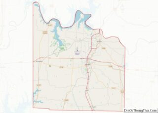
- Grayson
- Gregg
- Grimes
- Guadalupe
- Hale
- Hall
- Hamilton
- Hansford
- Hardeman
- Hardin
- Harris
- Harrison
- Hartley
- Haskell
- Hays
- Hemphill
- Henderson
- Hidalgo
- Hill
- Hockley
- Hood
- Hopkins
- Houston
- Howard
- Hudspeth
- Hunt
- Hutchinson
- Irion
- Jack
- Jackson
- Jasper
- Jeff Davis
- Jefferson
- Jim Hogg
- Jim Wells
- Johnson
- Jones
- Karnes
- Kaufman
- Kendall
- Kenedy
- Kent
- Kerr
- Kimble
- King
- Kinney
- Kleberg
- Knox
- La Salle
- Lamar
- Lamb
- Lampasas
- Lavaca
- Lee
- Leon
- Liberty
- Limestone
- Lipscomb
- Live Oak
- Llano
- Loving
- Lubbock
- Lynn
- Madison
- Marion
- Martin
- Mason
- Matagorda
- Maverick
- McCulloch
- McLennan
- McMullen
- Medina
- Menard
- Midland
- Milam
- Mills
- Mitchell
- Montague
- Montgomery
- Moore
- Morris
- Motley
- Nacogdoches
- Navarro
- Newton
- Nolan
- Nueces
- Ochiltree
- Oldham
- Orange
- Palo Pinto
- Panola
- Parker
- Parmer
- Pecos
- Polk
- Potter
- Presidio
- Rains
- Randall
- Reagan
- Real
- Red River
- Reeves
- Refugio
- Roberts
- Robertson
- Rockwall
- Runnels
- Rusk
- Sabine
- San Augustine
- San Jacinto
- San Patricio
- San Saba
- Schleicher
- Scurry
- Shackelford
- Shelby
- Sherman
- Smith
- Somervell
- Starr
- Stephens
- Sterling
- Stonewall
- Sutton
- Swisher
- Tarrant
- Taylor
- Terrell
- Terry
- Throckmorton
- Titus
- Tom Green
- Travis
- Trinity
- Tyler
- Upshur
- Upton
- Uvalde
- Val Verde
- Van Zandt
- Victoria
- Walker
- Waller
- Ward
- Washington
- Webb
- Wharton
- Wheeler
- Wichita
- Wilbarger
- Willacy
- Williamson
- Wilson
- Winkler
- Wise
- Wood
- Yoakum
- Young
- Zapata
- Zavala
- Alabama
- Alaska
- Arizona
- Arkansas
- California
- Colorado
- Connecticut
- Delaware
- District of Columbia
- Florida
- Georgia
- Hawaii
- Idaho
- Illinois
- Indiana
- Iowa
- Kansas
- Kentucky
- Louisiana
- Maine
- Maryland
- Massachusetts
- Michigan
- Minnesota
- Mississippi
- Missouri
- Montana
- Nebraska
- Nevada
- New Hampshire
- New Jersey
- New Mexico
- New York
- North Carolina
- North Dakota
- Ohio
- Oklahoma
- Oregon
- Pennsylvania
- Rhode Island
- South Carolina
- South Dakota
- Tennessee
- Texas
- Utah
- Vermont
- Virginia
- Washington
- West Virginia
- Wisconsin
- Wyoming