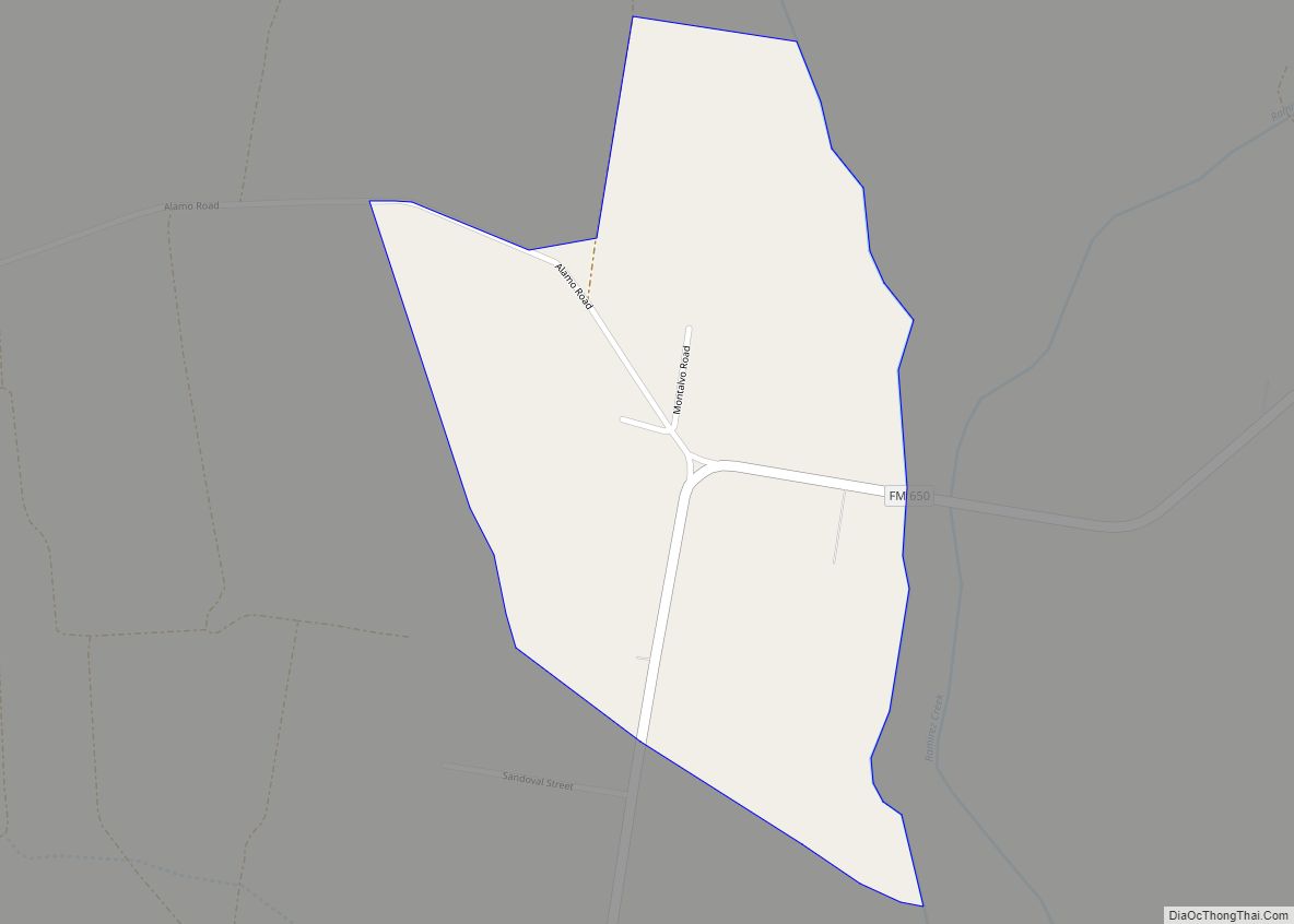
Map of Friona city
Friona is a city in Parmer County, Texas, United States. The population was 4,123 at the 2010 census. Friona was established as a small community in 1898 by XIT Ranch, originally called Frio, which is also the word for “cold” in Spanish. The community served as a shipping point for the Pecos and Northern Texas ... Read more
Map of Friona city
Map of Gainesville city, Texas
Gainesville is a city in and the county seat of Cooke County, Texas, United States. Its population was 16,002 at the 2010 census. It is part of the Texoma region and is an important Agri-business center. Gainesville city overview: Name: Gainesville city LSAD Code: 25 LSAD Description: city (suffix) State: Texas County: Cooke County Elevation: ... Read more
Map of Gainesville city, Texas
Map of Gail CDP
Gail is an unincorporated community in Borden County, Texas, United States. Located at the junction of U.S. Highway 180 and Farm to Market Road 669, it is the county seat of Borden County. As of the 2010 Census, the population was 231. The town and county are named for Gail Borden, Jr., the inventor of ... Read more
Map of Gail CDP
Map of Fulton town, Texas
Fulton is a town in Aransas County, Texas, United States. As of the 2010 census, this South Texas coastal fishing community had a population of 1,358. The town is named for George Ware Fulton, a land developer in the area. Fulton town overview: Name: Fulton town LSAD Code: 43 LSAD Description: town (suffix) State: Texas ... Read more
Map of Fulton town, Texas
Map of Fulshear city
Fulshear (/ˈfʊlʃər/ FUUL-shər) is a city in northwest Fort Bend County, Texas, United States, and is located on the western edge of the Houston–The Woodlands–Sugar Land metropolitan area. The population was 16,856 as of the 2020 census. Fulshear city overview: Name: Fulshear city LSAD Code: 25 LSAD Description: city (suffix) State: Texas County: Fort Bend ... Read more
Map of Fulshear city
Map of Fruitvale city, Texas
Fruitvale is a small city in Van Zandt County, Texas, United States. The population was 408 at the 2010 census, and 428 as of 2019. The town draws its name from its location. Missouri Pacific Railroad in the center of the historic fruit-growing district of the Sabine River valley in northeastern Van Zandt County. Its ... Read more
Map of Fruitvale city, Texas
Map of Garfield CDP, Texas
Garfield is a census-designated place (CDP) in Travis County, Texas, in the United States. As of the 2010 census, the CDP population was 1,698. Garfield CDP overview: Name: Garfield CDP LSAD Code: 57 LSAD Description: CDP (suffix) State: Texas County: Travis County Elevation: 479 ft (146 m) Total Area: 12.2 sq mi (31.6 km²) Land Area: 12.0 sq mi (31.1 km²) Water Area: ... Read more
Map of Garfield CDP, Texas
Map of Gardendale CDP, Texas
Gardendale is an unincorporated area and census-designated place (CDP) in Ector County, Texas, United States. The population was 1,574 at the 2010 census, up from 1,197 at the 2000 census. It is part of the Odessa, Texas, Metropolitan Statistical Area. Gardendale CDP overview: Name: Gardendale CDP LSAD Code: 57 LSAD Description: CDP (suffix) State: Texas ... Read more
Map of Gardendale CDP, Texas
Map of Garden Ridge city
Garden Ridge is a city in Comal County, Texas, United States, incorporated in 1972. The population was 4,186 at the 2020 census, up from 3,259 at the 2010 census. It is part of the San Antonio metropolitan statistical rea. Garden Ridge city overview: Name: Garden Ridge city LSAD Code: 25 LSAD Description: city (suffix) State: ... Read more
Map of Garden Ridge city
Map of Garden City CDP, Texas
Garden City is an unincorporated community and census-designated place (CDP) in Glasscock County, Texas, United States. It lies near the center of the county, 27 miles (43 km) south of Big Spring. Garden City serves as the Glasscock County seat, and at the 2010 census had a population of 334. The ZIP code is 79739. Garden ... Read more
Map of Garden City CDP, Texas
Map of Garciasville CDP
Garciasville is a census-designated place (CDP) in Starr County, Texas, United States. It is a new CDP for 2010 census with a population of 46. Garciasville CDP overview: Name: Garciasville CDP LSAD Code: 57 LSAD Description: CDP (suffix) State: Texas County: Starr County Elevation: 141 ft (43 m) Total Area: 0.5 sq mi (1.3 km²) Land Area: 0.5 sq mi (1.3 km²) Water ... Read more
Map of Garciasville CDP
Map of Garceno CDP
Garceno is a census-designated place (CDP) in Starr County, Texas, United States. The population was 420 at the 2010 census down from 1,438 at the 2000 census. Garceno CDP overview: Name: Garceno CDP LSAD Code: 57 LSAD Description: CDP (suffix) State: Texas County: Starr County Elevation: 194 ft (59 m) Total Area: 0.2 sq mi (0.5 km²) Land Area: 0.2 sq mi ... Read more
Map of Garceno CDP