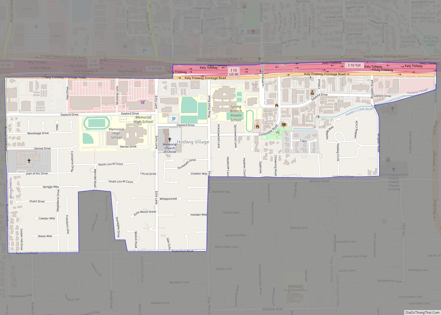
Hedwig Village is a city in Harris County, Texas, United States. The population was 2,370 at the 2020 census. Hedwig Village city overview: Name: Hedwig Village city LSAD Code: 25 LSAD Description: city (suffix) State: Texas County: Harris County Elevation: 43 ft (13 m) Total Area: 0.95 sq mi (2.45 km²) Land Area: 0.95 sq mi (2.45 km²) Water Area: 0.00 sq mi (0.00 km²) Total ... Read more
Texas Cities and Places
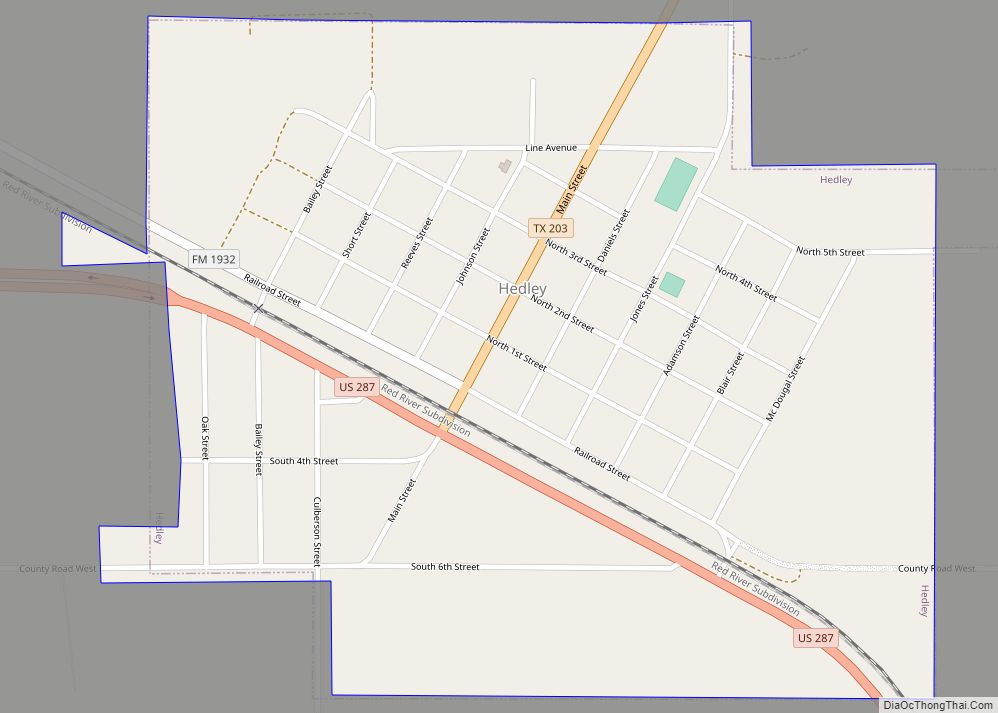
Hedley is a city in Donley County, Texas, United States. Its population was 329 at the 2010 census, down from 379 at the 2000 census. Hedley city overview: Name: Hedley city LSAD Code: 25 LSAD Description: city (suffix) State: Texas County: Donley County Elevation: 2,621 ft (799 m) Total Area: 0.71 sq mi (1.85 km²) Land Area: 0.71 sq mi (1.85 km²) Water ... Read more
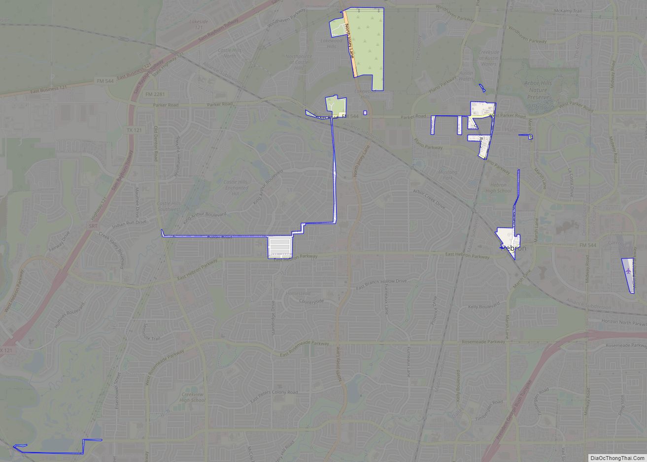
Hebron is a town in Denton County in the U.S. state of Texas with a small disconnected section in Collin County. The population was 415 at the 2010 census. Hebron town overview: Name: Hebron town LSAD Code: 43 LSAD Description: town (suffix) State: Texas County: Collin County, Denton County Elevation: 577 ft (176 m) Total Area: 0.33 sq mi ... Read more
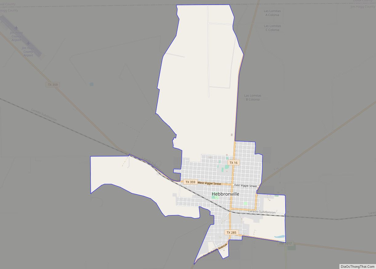
Hebbronville (/ˈhɛbrənvɪl/ HEB-rən-vil) is a census-designated place (CDP) in and the county seat of Jim Hogg County, Texas, United States. The population was 4,558 at the 2010 census. In 1918, Helen Sewel Harbison became the first woman in Texas to cast a ballot, two years before the implementation of the Nineteenth Amendment to the United ... Read more
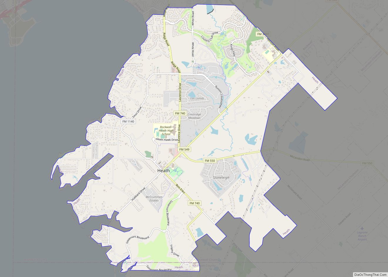
Heath is a city in Rockwall and Kaufman counties, Texas, United States. The population was 6,921 at the 2010 census, up from 4,149 at the 2000 census. It is part of the Dallas–Fort Worth metroplex. Heath city overview: Name: Heath city LSAD Code: 25 LSAD Description: city (suffix) State: Texas County: Kaufman County, Rockwall County ... Read more
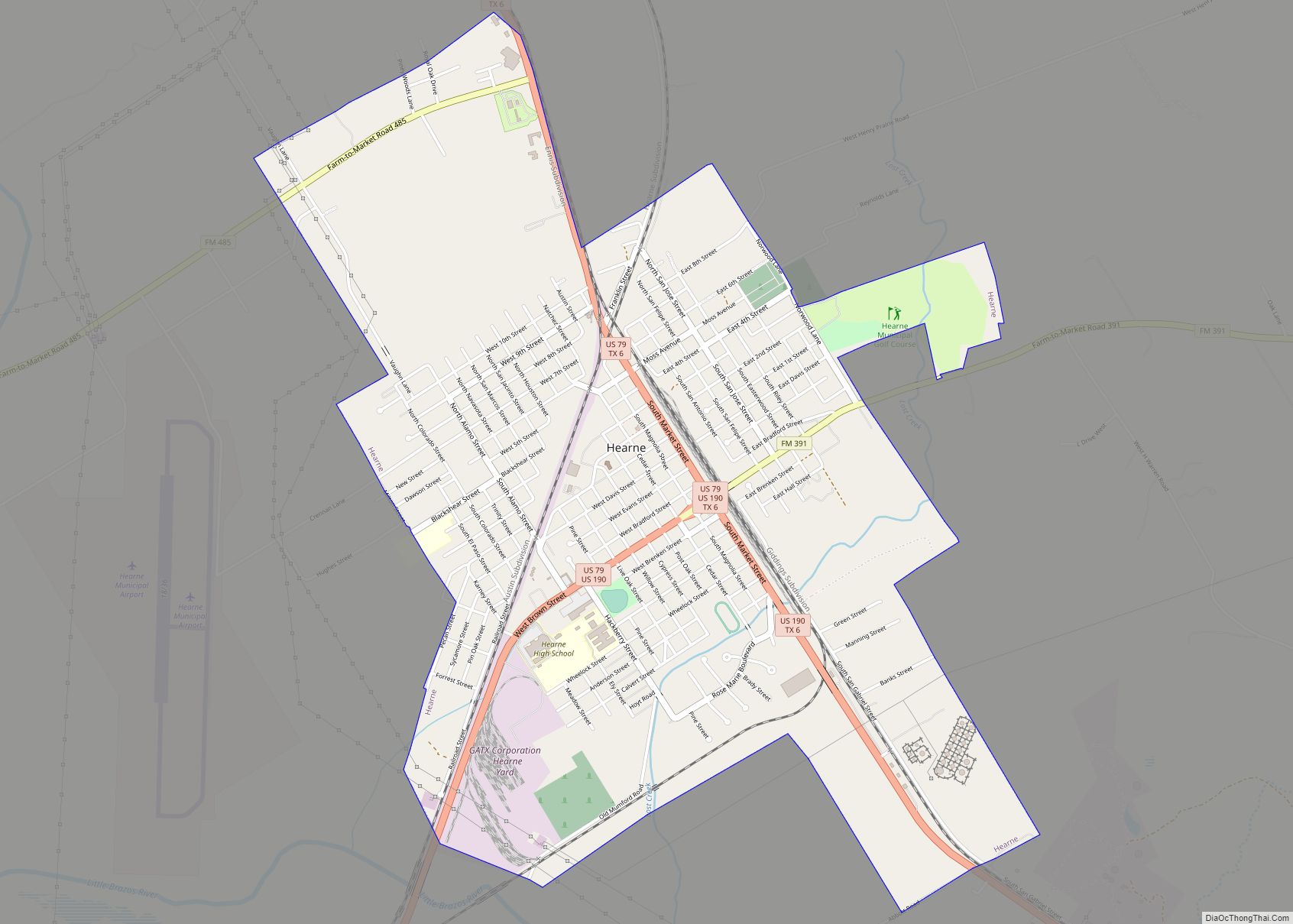
Hearne (/hɜːrn/ hurn) is a city in Robertson County, Texas, United States. As of the 2020 census, the city population was 4,544. The city is named for a family that settled in the area in the 19th century and promoted the construction of rail lines through the city. Hearne city overview: Name: Hearne city LSAD ... Read more
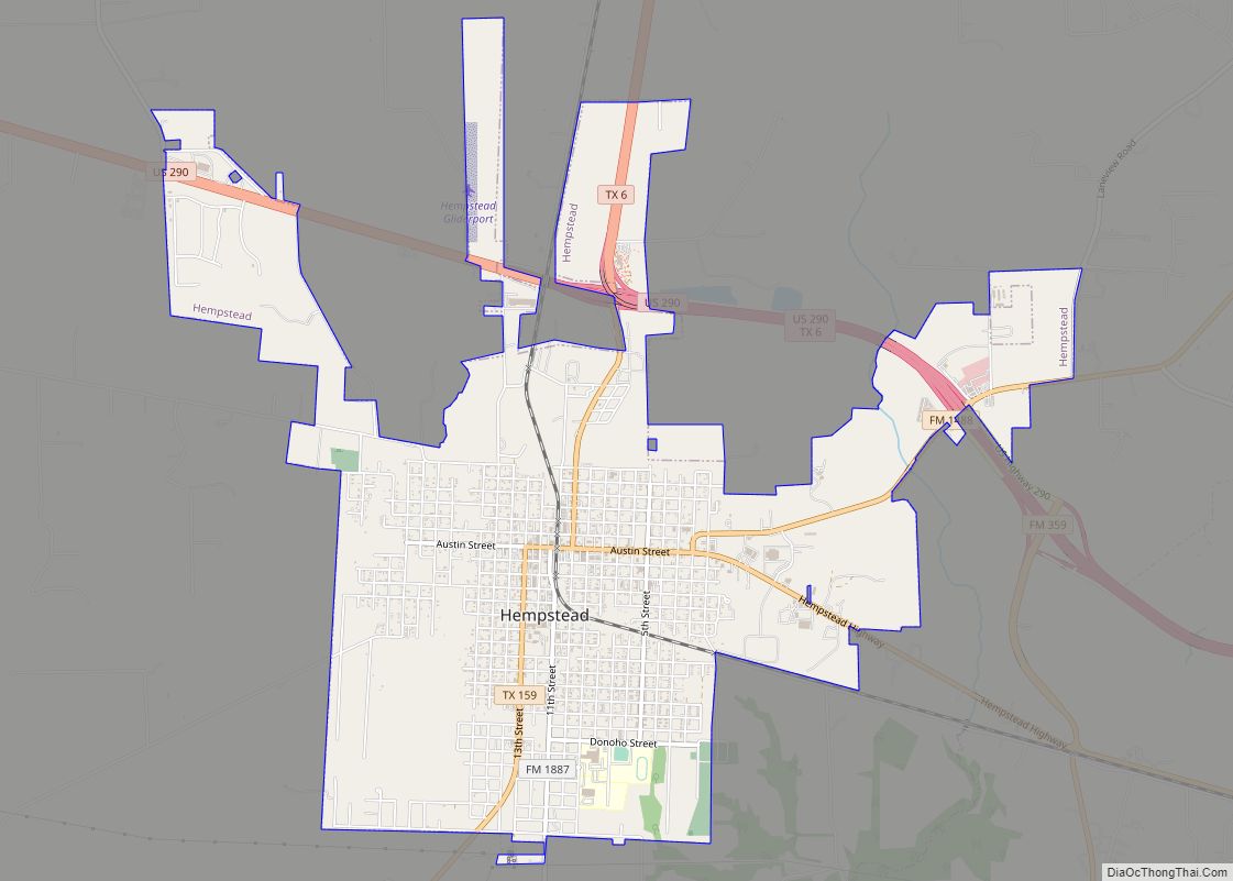
Hempstead is a city in and the county seat of Waller County, Texas, United States, part of the Houston–The Woodlands–Sugar Land metropolitan area. Hempstead city overview: Name: Hempstead city LSAD Code: 25 LSAD Description: city (suffix) State: Texas County: Waller County Incorporated: Originally incorporated November 10, 1858, re-incorporated June 10, 1935 Elevation: 227 ft (69.1 m) Total ... Read more
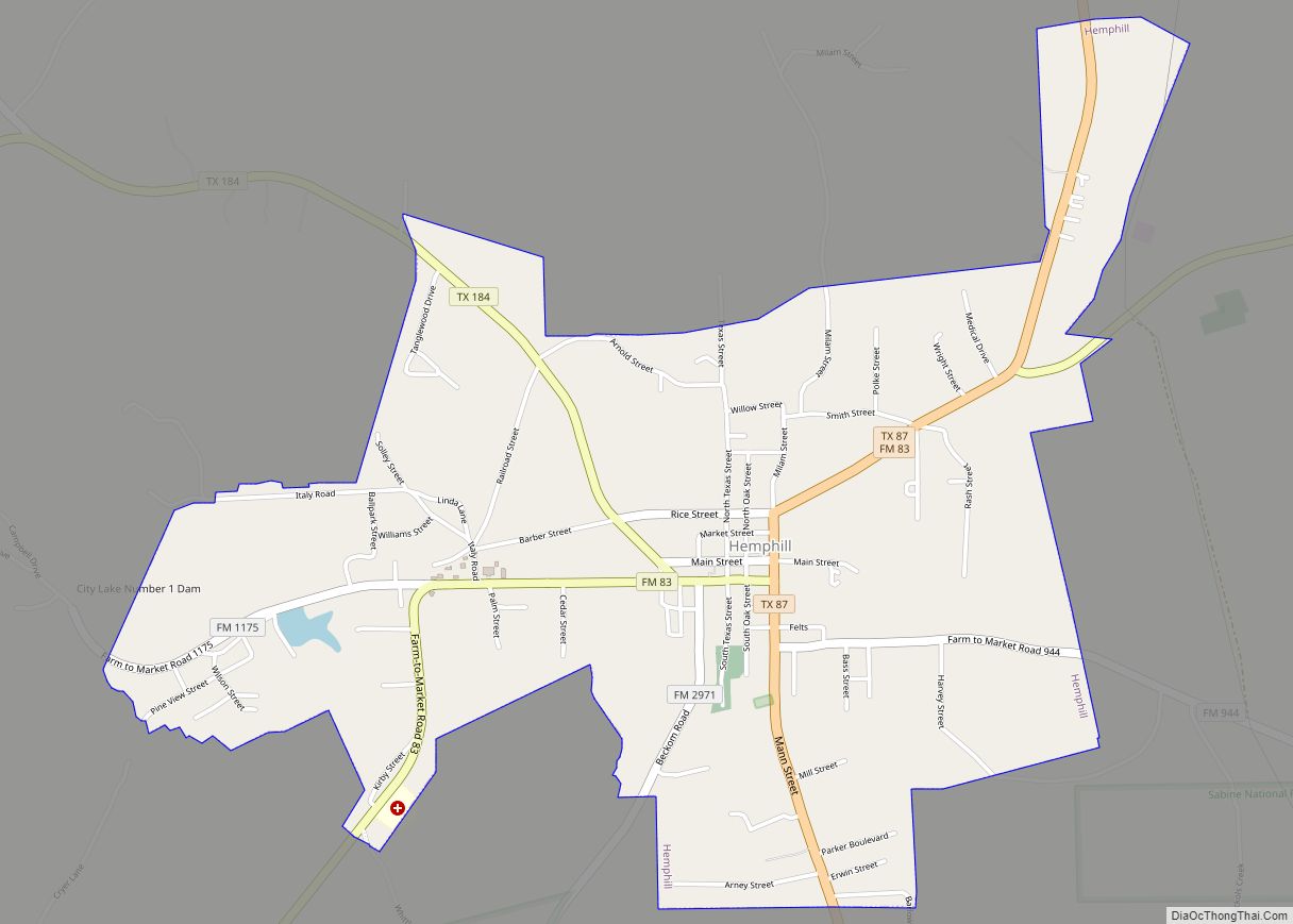
Hemphill is a city in Sabine County, Texas, United States. The population was 1,029 at the 2020 census. It is the county seat of Sabine County. It is located on State Highway 87 at the junction of State Highway 184, and is surrounded by the Sabine National Forest and the Toledo Bend Reservoir. Hemphill city ... Read more
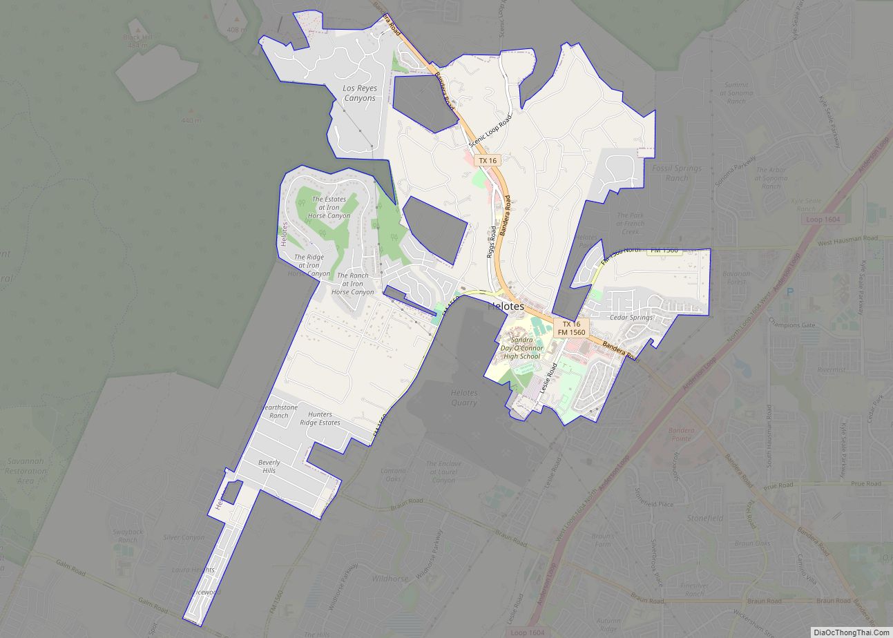
Helotes (/həˈloʊtɪs/ hə-LOH-tis) is a city in Bexar County, Texas, United States, located on the far northwest side of San Antonio. It is part of the San Antonio-New Braunfels metropolitan statistical area. Its population was 9,030 at the 2020 census. Helotes city overview: Name: Helotes city LSAD Code: 25 LSAD Description: city (suffix) State: Texas ... Read more
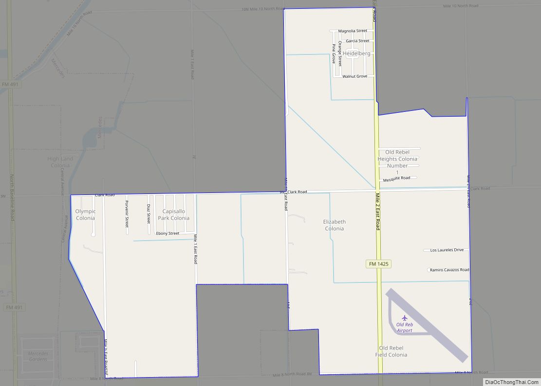
Heidelberg is a census-designated place (CDP) in Hidalgo County, Texas. The population was 1,725 at the 2010 United States Census. It is part of the McAllen–Edinburg–Mission Metropolitan Statistical Area. Heidelberg CDP overview: Name: Heidelberg CDP LSAD Code: 57 LSAD Description: CDP (suffix) State: Texas County: Hidalgo County Elevation: 59 ft (18 m) Total Area: 2.8 sq mi (7.4 km²) Land ... Read more
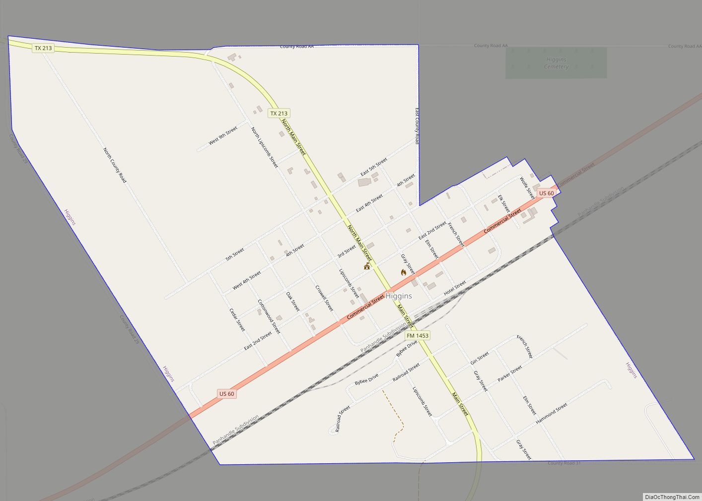
Higgins is a rural small town in Lipscomb County, Texas, United States, named after G.H. Higgins, a stockholder in the Santa Fe Railroad. The population was 397 at the 2010 census. Higgins city overview: Name: Higgins city LSAD Code: 25 LSAD Description: city (suffix) State: Texas County: Lipscomb County Elevation: 2,569 ft (783 m) Total Area: 1.11 sq mi ... Read more
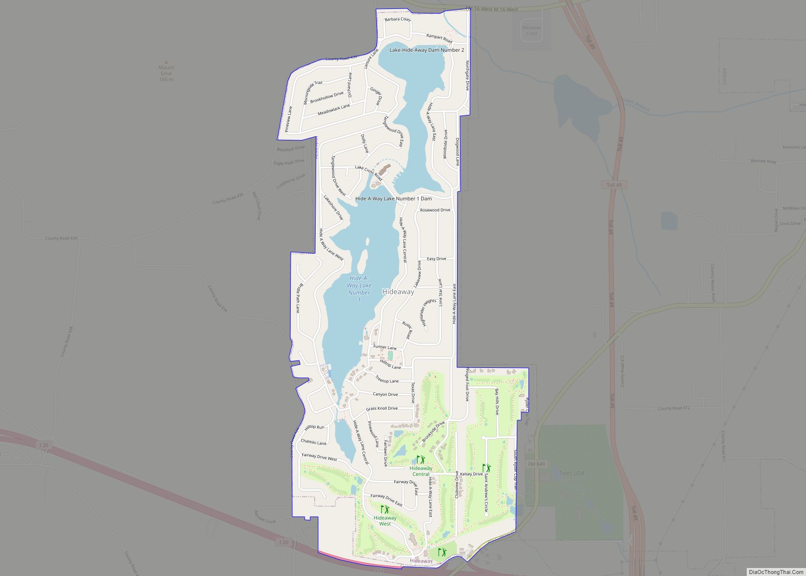
Hideaway is a largely residential city and gated community in Smith County, Texas, United States. As of the 2020 census, the population was 3,201. Hideaway is part of the Tyler Metropolitan Statistical Area. Hideaway city overview: Name: Hideaway city LSAD Code: 25 LSAD Description: city (suffix) State: Texas County: Smith County Total Area: 2.43 sq mi (6.29 km²) ... Read more
