Helotes (/həˈloʊtɪs/ hə-LOH-tis) is a city in Bexar County, Texas, United States, located on the far northwest side of San Antonio. It is part of the San Antonio-New Braunfels metropolitan statistical area. Its population was 9,030 at the 2020 census.
| Name: | Helotes city |
|---|---|
| LSAD Code: | 25 |
| LSAD Description: | city (suffix) |
| State: | Texas |
| County: | Bexar County |
| Elevation: | 1,037 ft (316 m) |
| Total Area: | 6.93 sq mi (17.96 km²) |
| Land Area: | 6.93 sq mi (17.95 km²) |
| Water Area: | 0.00 sq mi (0.01 km²) |
| Total Population: | 9,030 |
| Population Density: | 1,437.58/sq mi (555.04/km²) |
| ZIP code: | 78023 |
| Area code: | 210, 726 (planned) |
| FIPS code: | 4833146 |
| GNISfeature ID: | 1337583 |
| Website: | www.helotes-tx.gov |
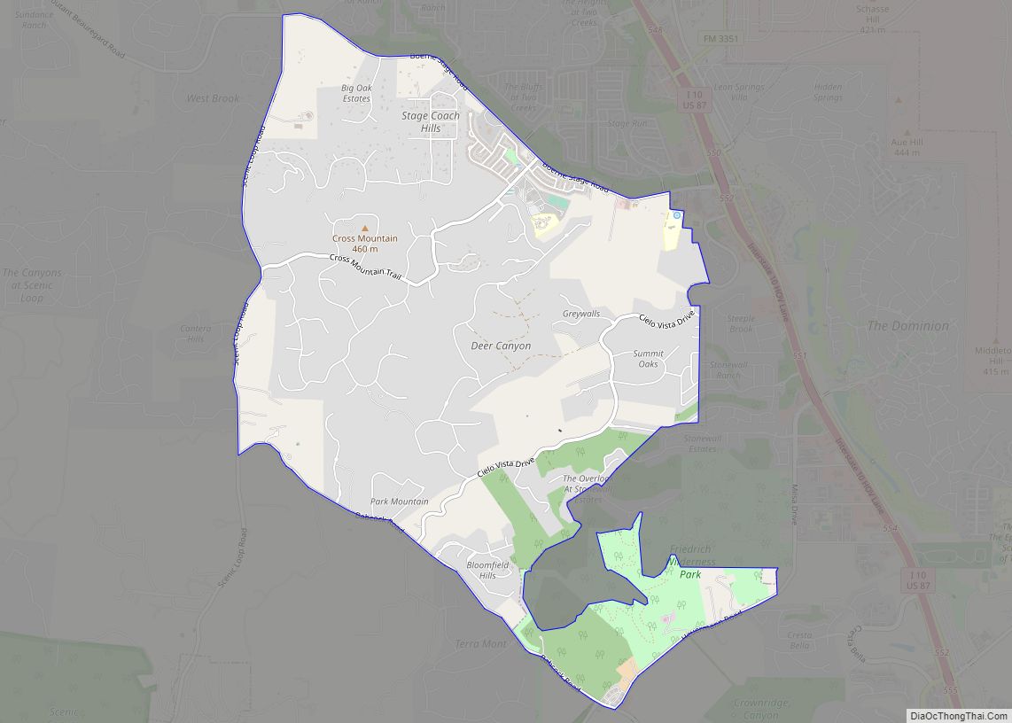
Online Interactive Map
Click on ![]() to view map in "full screen" mode.
to view map in "full screen" mode.
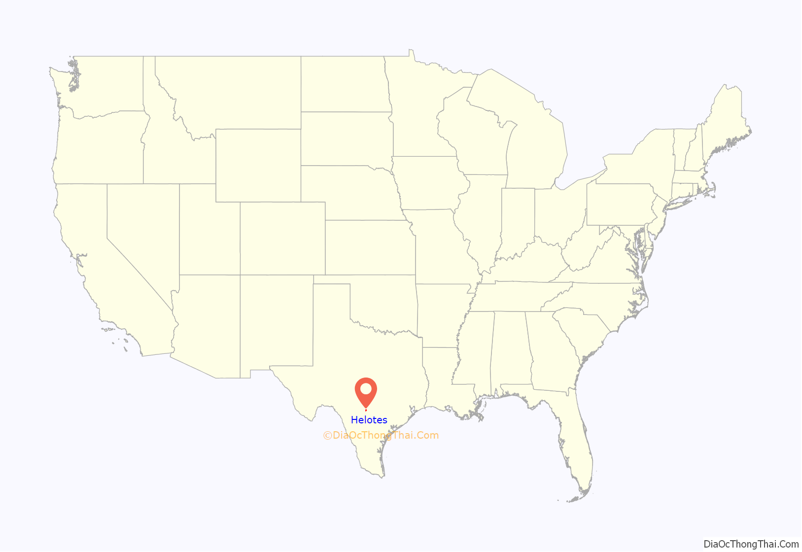
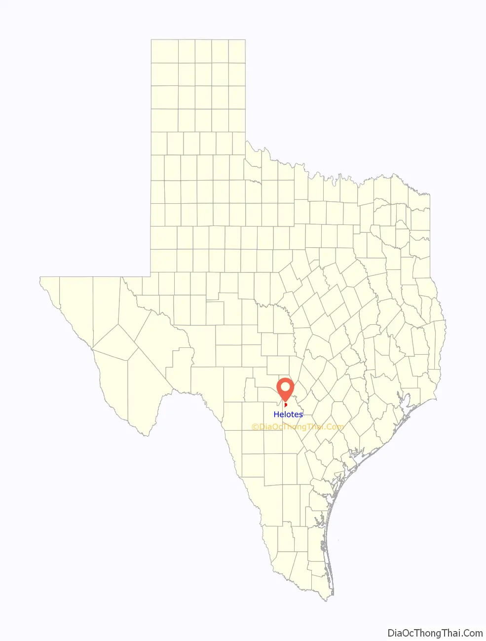
Helotes location map. Where is Helotes city?
History
According to anthropologists, the area was occupied seasonally from about 5,000 BCE by small bands of nomadic Native American tribes in search of food and game. The Lipan Apache moved into the area in the late 17th century and occupied it throughout the 18th century. However, the Lipan were forced from the area in the early 1820s by the Comanche Indians.
A small farming and ranching community began to develop in the area shortly after the Texas Revolution in the late 1830s. The ranches suffered occasional attacks by the Comanches until the late 1870s.
In 1858, a Scottish immigrant, Dr. George Marnoch, purchased the land that later became the site of the town. Marnoch’s home at one time served as a stagecoach stop and a post office for cowboys driving their cattle from Bandera to auction in San Antonio. His heirs sold a portion of their property in 1880 to a Swiss immigrant, Arnold Gugger, who built a home and mercantile store around which the town of Helotes arose. In 1908, Gugger sold his property to Bert Hileman, who opened the town’s first dance hall. He was also instrumental in getting old Bandera Road paved and opening the town’s first filling station. He sold his property in downtown Helotes in 1919, when the town’s population declined.
In 1946, the manager of San Antonio’s Majestic Theatre, John T. Floore, opened the landmark John T. Floore Country Store, which is actually a dance hall (or “honky tonk”) that draws top country music talent, including Willie Nelson, who still plays the venue on occasion. Floore also financed the first annual Helotes Cornyval festival in the 1960s, which was held to celebrate the opening of a new post office.
Corn played an important role in the heritage of Helotes. The local Native Americans planted corn (maize outside the US) in the fertile valleys of the area, and feed corn was a major crop grown in the 19th and early 20th centuries. The town name is derived from the Spanish word elote, which can mean “ear of maize”, “corncob”, or simply “corn”, but exactly how the town came to be called Helotes is still a subject of debate.
As the urban sprawl of San Antonio expanded and approached the outskirts of Helotes in the 1970s. After a decade of planning and negotiation, Helotes became an incorporated city in October 1981. To this day, residents struggle with the dilemma of maintaining the city’s rugged country charm, while at the same time allowing for the development of modern suburban facilities and businesses. Helotes was the hometown of the late Texas State Senator Frank L. Madla, who died after his home on the south side of San Antonio caught fire on November 24, 2006.
1953 tornado
On April 28, 1953, the town was hit by a violent 1 mile (1.6 km) wide F4 tornado struck the city, damaging or destroying multiple structures. Two people were killed and 15 others were injured.
Helotes Road Map
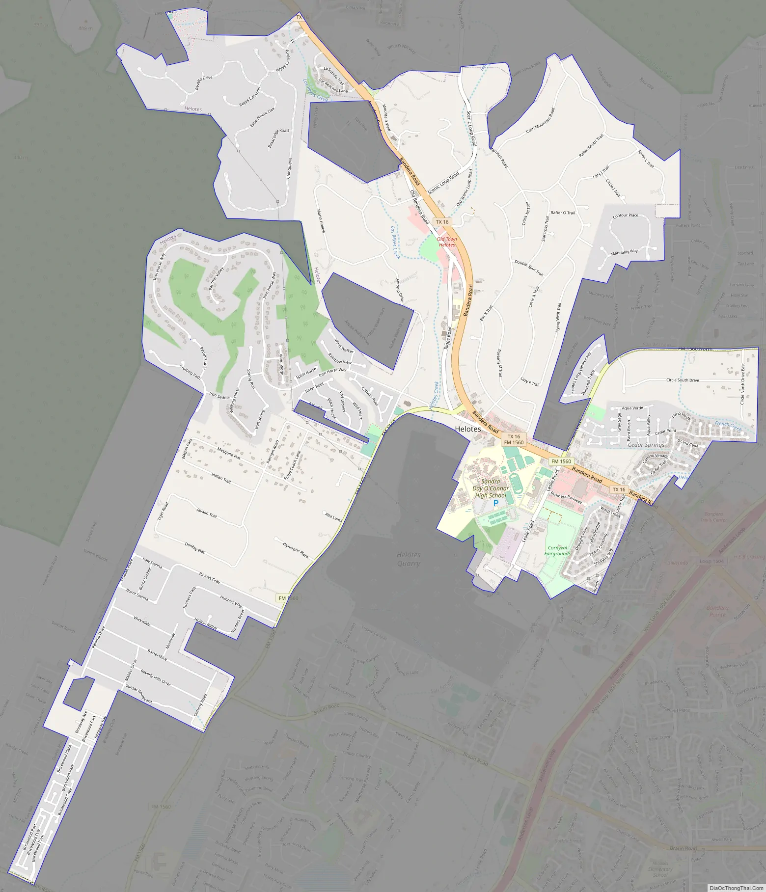
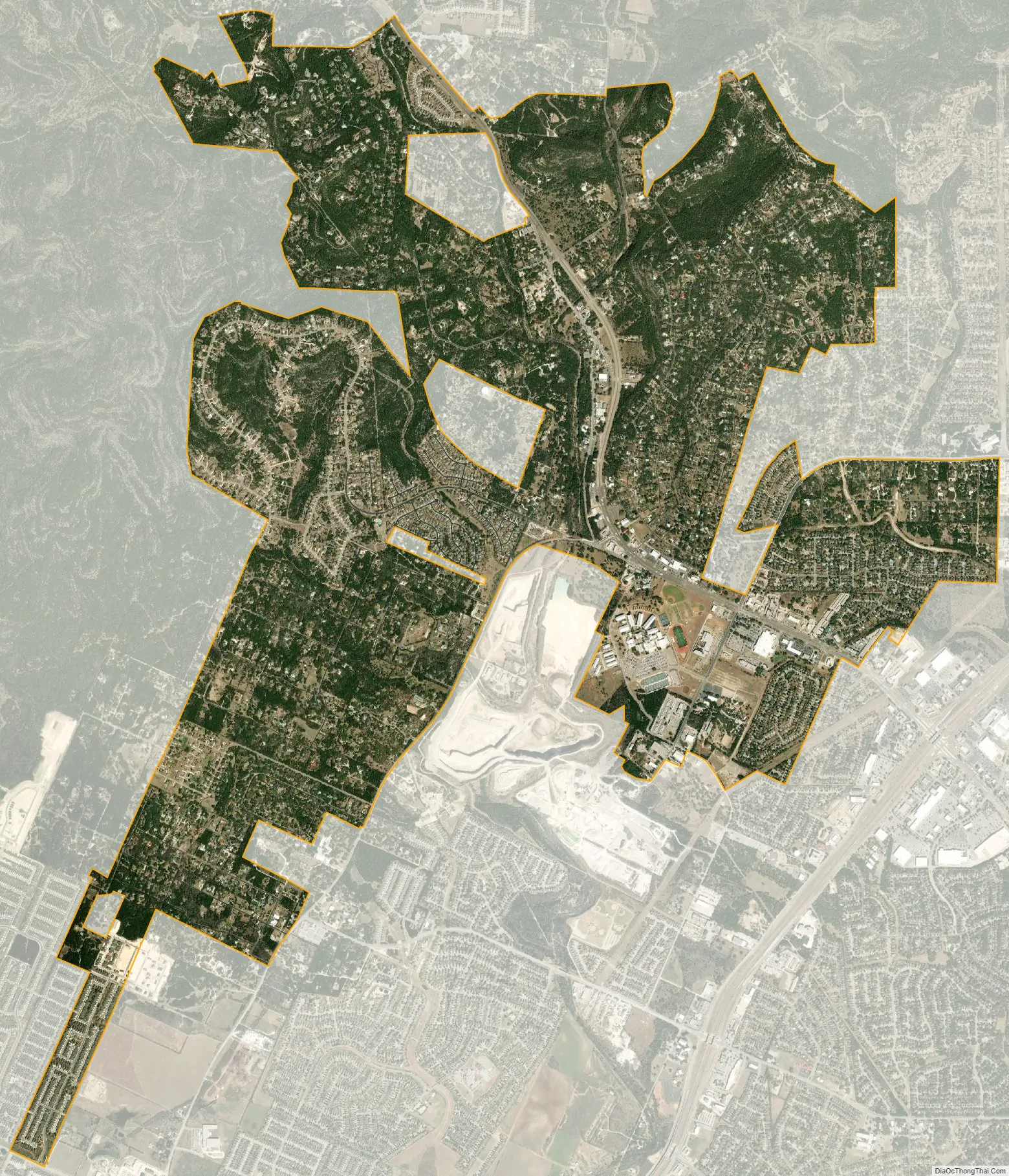
Helotes city Satellite Map
Geography
Helotes is located in northwestern Bexar County in the valley of Helotes Creek where it exits from the Texas Hill Country. The city is about 16 miles (26 km) northwest of downtown San Antonio. Texas State Highway 16 runs through the community, leading northwest 30 mi (48 km) to Bandera. The Charles W. Anderson Loop, the outer beltway around San Antonio, is 2 mi (3 km) southeast of the center of Helotes.
According to the United States Census Bureau, Helotes has a total area of 6.6 sq mi (17.0 km), of which 0.004 square miles (0.01 km), or 0.06%, is covered by water.
See also
Map of Texas State and its subdivision:- Anderson
- Andrews
- Angelina
- Aransas
- Archer
- Armstrong
- Atascosa
- Austin
- Bailey
- Bandera
- Bastrop
- Baylor
- Bee
- Bell
- Bexar
- Blanco
- Borden
- Bosque
- Bowie
- Brazoria
- Brazos
- Brewster
- Briscoe
- Brooks
- Brown
- Burleson
- Burnet
- Caldwell
- Calhoun
- Callahan
- Cameron
- Camp
- Carson
- Cass
- Castro
- Chambers
- Cherokee
- Childress
- Clay
- Cochran
- Coke
- Coleman
- Collin
- Collingsworth
- Colorado
- Comal
- Comanche
- Concho
- Cooke
- Coryell
- Cottle
- Crane
- Crockett
- Crosby
- Culberson
- Dallam
- Dallas
- Dawson
- Deaf Smith
- Delta
- Denton
- Dewitt
- Dickens
- Dimmit
- Donley
- Duval
- Eastland
- Ector
- Edwards
- El Paso
- Ellis
- Erath
- Falls
- Fannin
- Fayette
- Fisher
- Floyd
- Foard
- Fort Bend
- Franklin
- Freestone
- Frio
- Gaines
- Galveston
- Garza
- Gillespie
- Glasscock
- Goliad
- Gonzales
- Gray
- Grayson
- Gregg
- Grimes
- Guadalupe
- Hale
- Hall
- Hamilton
- Hansford
- Hardeman
- Hardin
- Harris
- Harrison
- Hartley
- Haskell
- Hays
- Hemphill
- Henderson
- Hidalgo
- Hill
- Hockley
- Hood
- Hopkins
- Houston
- Howard
- Hudspeth
- Hunt
- Hutchinson
- Irion
- Jack
- Jackson
- Jasper
- Jeff Davis
- Jefferson
- Jim Hogg
- Jim Wells
- Johnson
- Jones
- Karnes
- Kaufman
- Kendall
- Kenedy
- Kent
- Kerr
- Kimble
- King
- Kinney
- Kleberg
- Knox
- La Salle
- Lamar
- Lamb
- Lampasas
- Lavaca
- Lee
- Leon
- Liberty
- Limestone
- Lipscomb
- Live Oak
- Llano
- Loving
- Lubbock
- Lynn
- Madison
- Marion
- Martin
- Mason
- Matagorda
- Maverick
- McCulloch
- McLennan
- McMullen
- Medina
- Menard
- Midland
- Milam
- Mills
- Mitchell
- Montague
- Montgomery
- Moore
- Morris
- Motley
- Nacogdoches
- Navarro
- Newton
- Nolan
- Nueces
- Ochiltree
- Oldham
- Orange
- Palo Pinto
- Panola
- Parker
- Parmer
- Pecos
- Polk
- Potter
- Presidio
- Rains
- Randall
- Reagan
- Real
- Red River
- Reeves
- Refugio
- Roberts
- Robertson
- Rockwall
- Runnels
- Rusk
- Sabine
- San Augustine
- San Jacinto
- San Patricio
- San Saba
- Schleicher
- Scurry
- Shackelford
- Shelby
- Sherman
- Smith
- Somervell
- Starr
- Stephens
- Sterling
- Stonewall
- Sutton
- Swisher
- Tarrant
- Taylor
- Terrell
- Terry
- Throckmorton
- Titus
- Tom Green
- Travis
- Trinity
- Tyler
- Upshur
- Upton
- Uvalde
- Val Verde
- Van Zandt
- Victoria
- Walker
- Waller
- Ward
- Washington
- Webb
- Wharton
- Wheeler
- Wichita
- Wilbarger
- Willacy
- Williamson
- Wilson
- Winkler
- Wise
- Wood
- Yoakum
- Young
- Zapata
- Zavala
- Alabama
- Alaska
- Arizona
- Arkansas
- California
- Colorado
- Connecticut
- Delaware
- District of Columbia
- Florida
- Georgia
- Hawaii
- Idaho
- Illinois
- Indiana
- Iowa
- Kansas
- Kentucky
- Louisiana
- Maine
- Maryland
- Massachusetts
- Michigan
- Minnesota
- Mississippi
- Missouri
- Montana
- Nebraska
- Nevada
- New Hampshire
- New Jersey
- New Mexico
- New York
- North Carolina
- North Dakota
- Ohio
- Oklahoma
- Oregon
- Pennsylvania
- Rhode Island
- South Carolina
- South Dakota
- Tennessee
- Texas
- Utah
- Vermont
- Virginia
- Washington
- West Virginia
- Wisconsin
- Wyoming