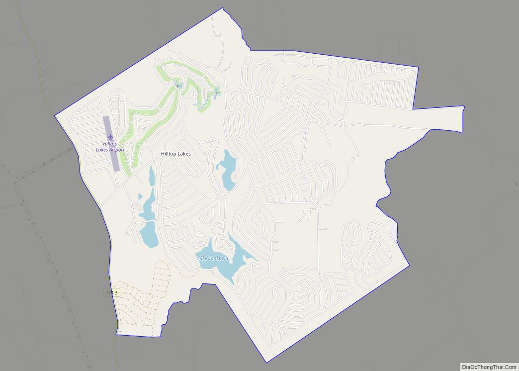
Hilltop Lakes is a census-designated place and unincorporated community in Leon County, Texas, United States. As of the 2010 census, the population was 1,101. Hilltop Lakes CDP overview: Name: Hilltop Lakes CDP LSAD Code: 57 LSAD Description: CDP (suffix) State: Texas County: Leon County Elevation: 465 ft (142 m) Total Area: 8.7 sq mi (22.6 km²) Land Area: 8.5 sq mi (22.1 km²) ... Read more
Texas Cities and Places
Hillside Acres is a census-designated place (CDP) in Webb County, Texas, United States. This was a new CDP formed from parts of the Ranchitos Las Lomas CDP prior to the 2010 census with a population of 30. It is one of several colonias in the county. Hillside Acres CDP overview: Name: Hillside Acres CDP LSAD ... Read more
Hillsboro is a city in and the county seat of Hill County, Texas, United States. The population was 8,221 at the 2020 census. Hillsboro city overview: Name: Hillsboro city LSAD Code: 25 LSAD Description: city (suffix) State: Texas County: Hill County Elevation: 633 ft (193 m) Total Area: 10.97 sq mi (28.42 km²) Land Area: 10.87 sq mi (28.15 km²) Water Area: 0.10 sq mi ... Read more
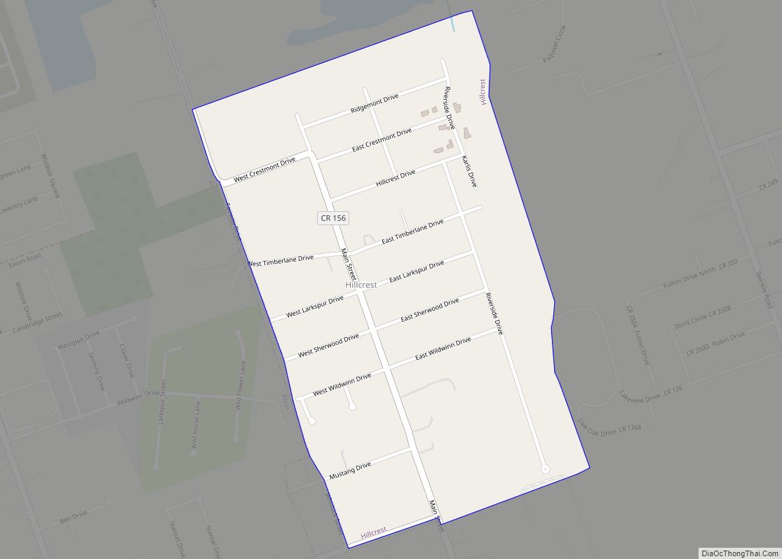
Hillcrest is a village in Brazoria County, Texas, United States. The population was 730 at the 2010 census. Hillcrest village overview: Name: Hillcrest village LSAD Code: 47 LSAD Description: village (suffix) State: Texas County: Brazoria County Elevation: 33 ft (10 m) Total Area: 0.44 sq mi (1.14 km²) Land Area: 0.44 sq mi (1.14 km²) Water Area: 0.00 sq mi (0.00 km²) Total Population: 730 Population ... Read more
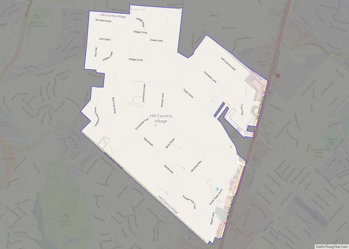
Hill Country Village is a city in Bexar County, Texas, United States. The population was 985 at the 2010 census. It is an enclave of San Antonio and is part of the San Antonio Metropolitan Statistical Area. It is the 7th wealthiest location in Texas by per capita income. Hill Country Village city overview: Name: ... Read more
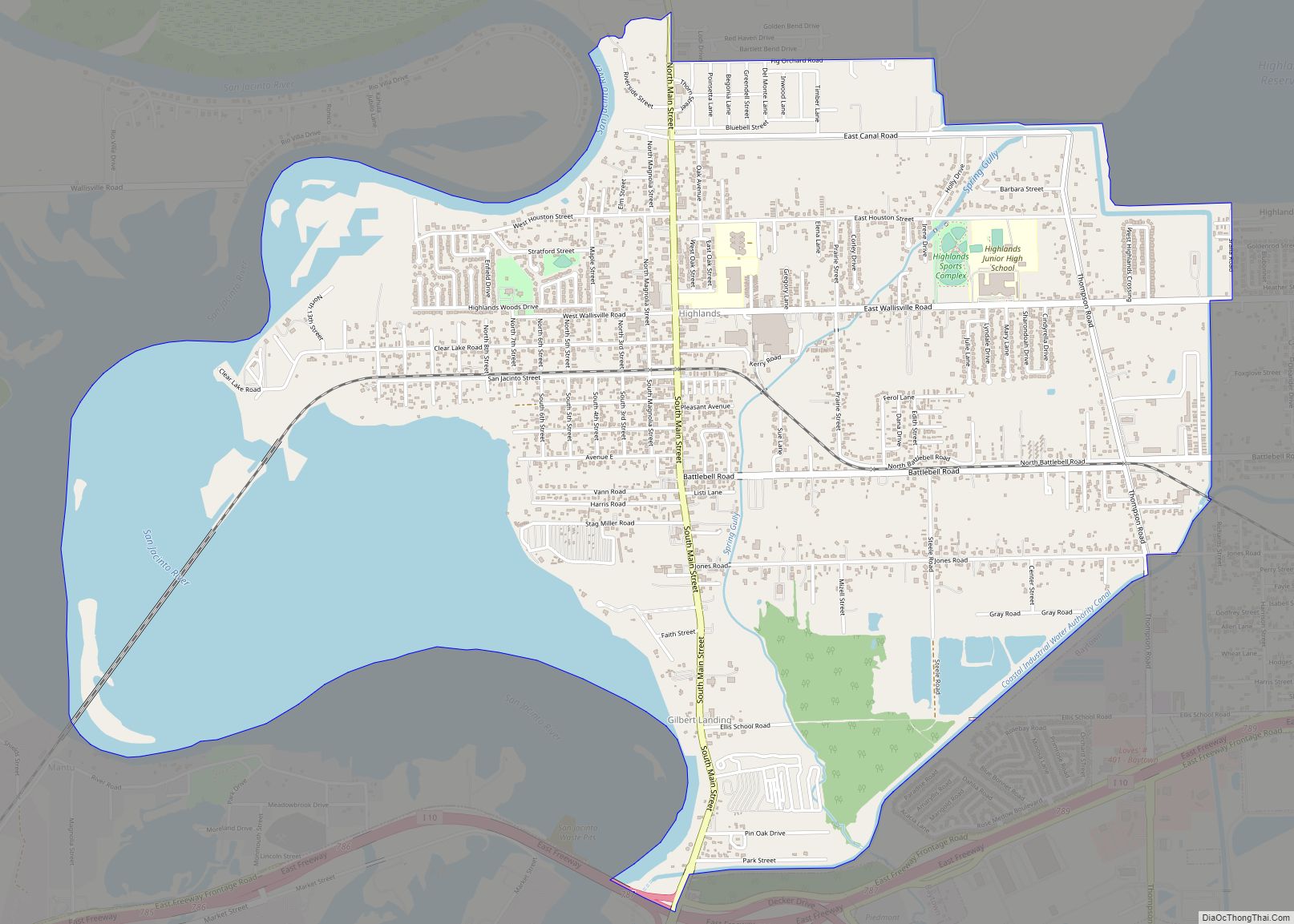
Highlands is a census-designated place (CDP) located along the Union Pacific Railroad, north of Interstate 10 and west of Farm to Market Road 2100, in an industrialized area of unincorporated Harris County, Texas, United States. The population was 8,612 at the 2020 census. Highlands CDP overview: Name: Highlands CDP LSAD Code: 57 LSAD Description: CDP ... Read more
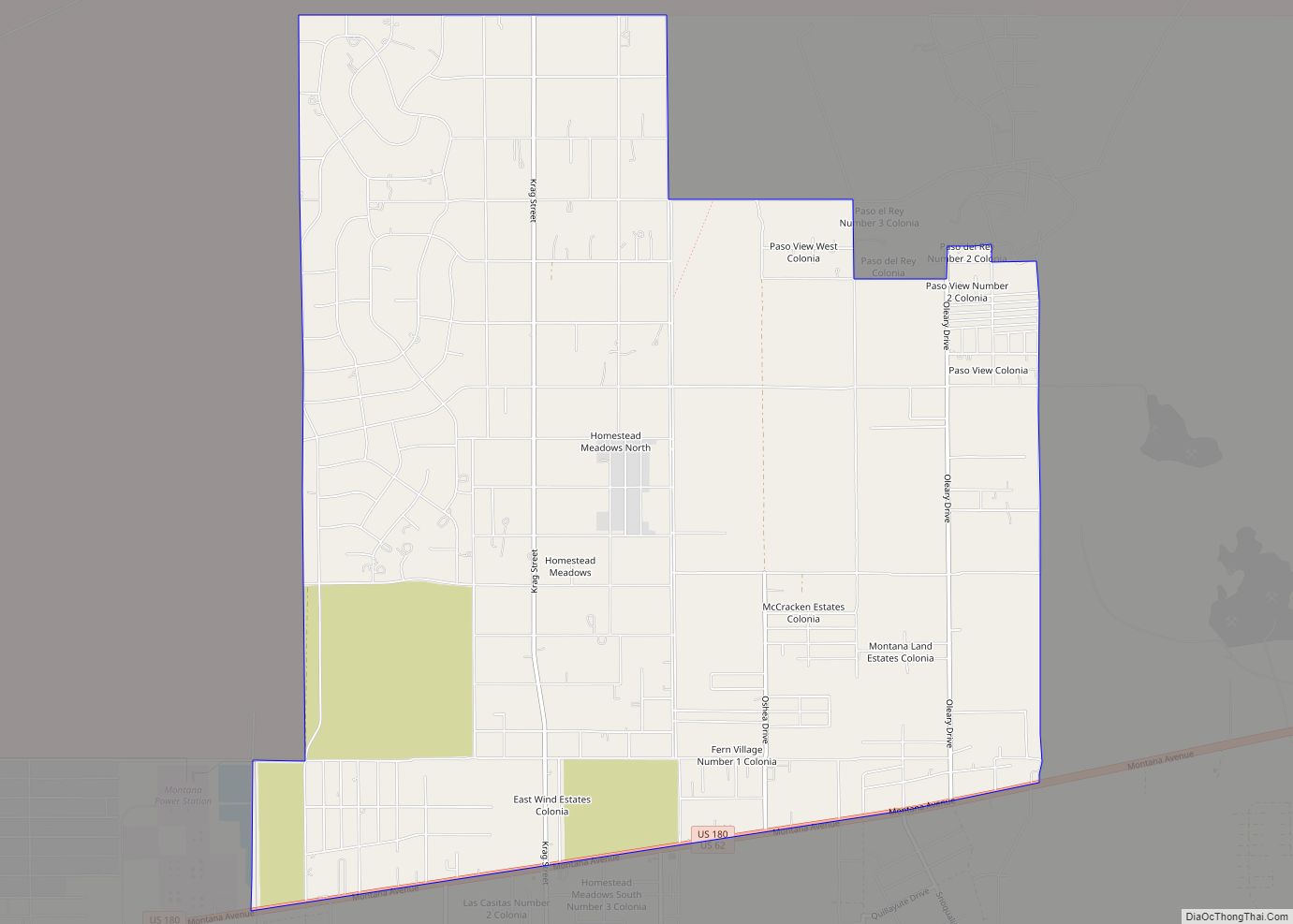
Homestead Meadows North is a census-designated place (CDP) in El Paso County, Texas, United States. The population was 5,124 at the 2010 census. It is part of the El Paso Metropolitan Statistical Area. The ZIP Code encompassing the CDP area is 79938. Homestead Meadows North CDP overview: Name: Homestead Meadows North CDP LSAD Code: 57 ... Read more
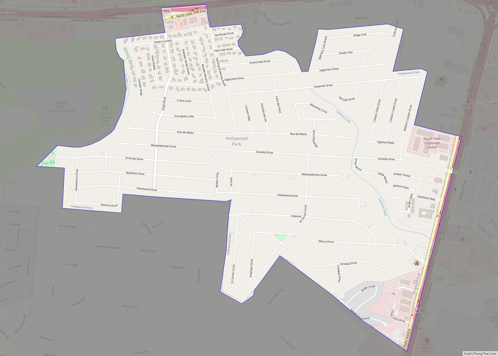
Hollywood Park is a town in Bexar County, Texas, United States. The population was 3,130 at the 2020 census. It is an enclave within far north central San Antonio and is part of the San Antonio Metropolitan Statistical Area. Hollywood Park town overview: Name: Hollywood Park town LSAD Code: 43 LSAD Description: town (suffix) State: ... Read more
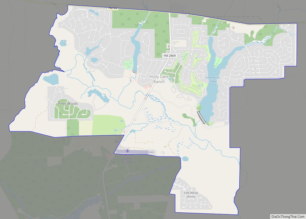
Holly Lake Ranch is an unincorporated, gated, golf course community managed by a homeowner’s association and located in Texas. There is an allied Silver Leaf Resorts community of the same name at the location as well. Holly Lake Ranch is a census-designated place (CDP) in Wood County, Texas, United States. This was a new CDP ... Read more
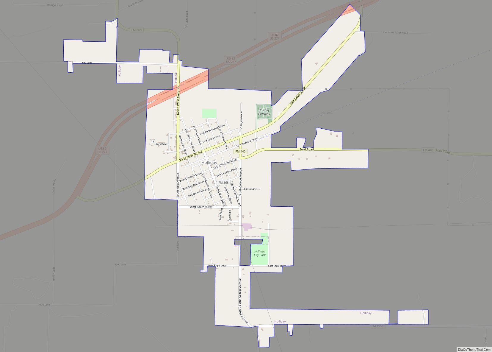
Holliday is a city in Archer County, Texas, United States. It is part of the Wichita Falls, Texas Metropolitan Statistical Area. The population was 1,758 at the 2010 census. The town is named for nearby Holliday Creek, named in turn for John Holliday, a member of a Republic of Texas military expedition. Holliday city overview: ... Read more
Holland is a city in Bell County, Texas, United States. The population was 1,075 at the 2020 census. The center of population of Texas is located in Holland. It is part of the Killeen–Temple–Fort Hood metropolitan statistical area. Holland town overview: Name: Holland town LSAD Code: 43 LSAD Description: town (suffix) State: Texas County: Bell ... Read more
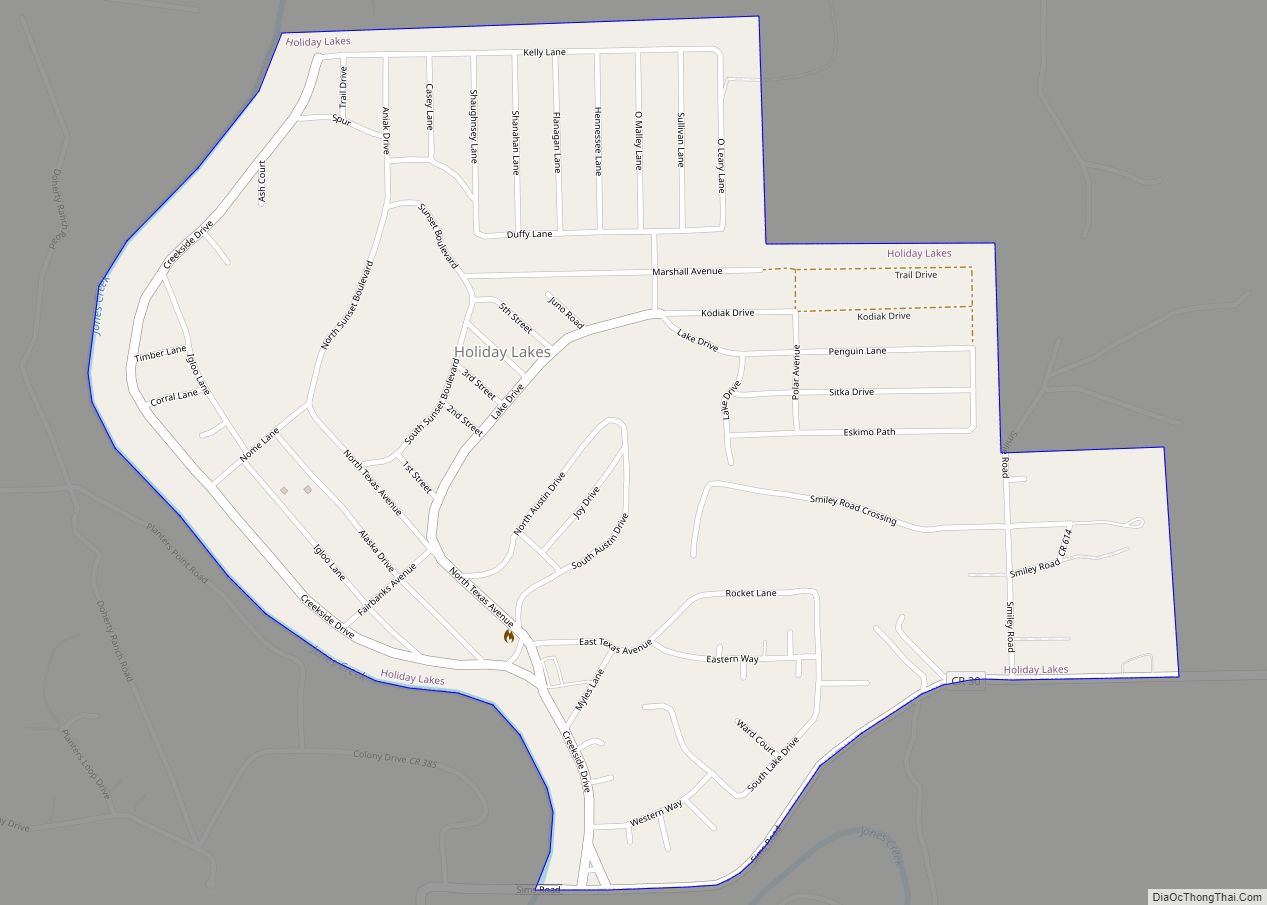
Holiday Lakes is a town in Brazoria County, Texas, United States. The population was 991 at the 2020 census. Holiday Lakes town overview: Name: Holiday Lakes town LSAD Code: 43 LSAD Description: town (suffix) State: Texas County: Brazoria County Elevation: 36 ft (11 m) Total Area: 0.98 sq mi (2.53 km²) Land Area: 0.88 sq mi (2.28 km²) Water Area: 0.10 sq mi (0.25 km²) Total ... Read more
