Hillsboro is a city in and the county seat of Hill County, Texas, United States. The population was 8,221 at the 2020 census.
| Name: | Hillsboro city |
|---|---|
| LSAD Code: | 25 |
| LSAD Description: | city (suffix) |
| State: | Texas |
| County: | Hill County |
| Elevation: | 633 ft (193 m) |
| Total Area: | 10.97 sq mi (28.42 km²) |
| Land Area: | 10.87 sq mi (28.15 km²) |
| Water Area: | 0.10 sq mi (0.27 km²) |
| Total Population: | 8,221 |
| Population Density: | 779.83/sq mi (301.08/km²) |
| ZIP code: | 76645 |
| Area code: | 254 |
| FIPS code: | 4834088 |
| GNISfeature ID: | 1337816 |
| Website: | www.hillsborotx.org |
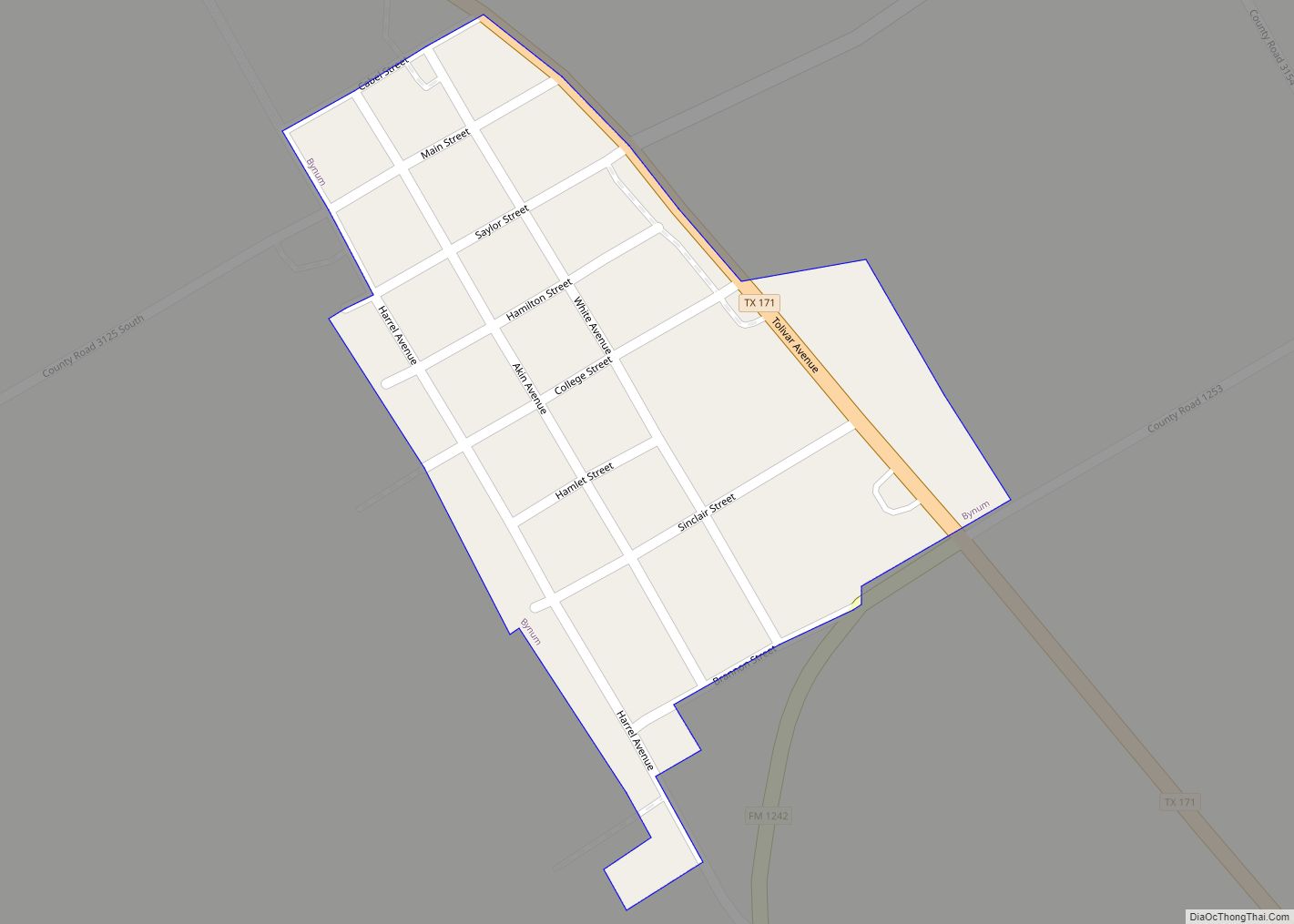
Online Interactive Map
Click on ![]() to view map in "full screen" mode.
to view map in "full screen" mode.
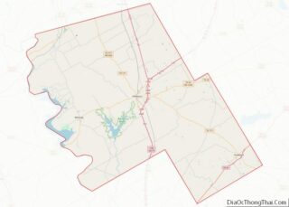
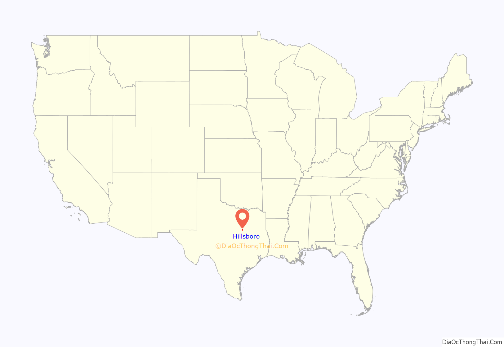
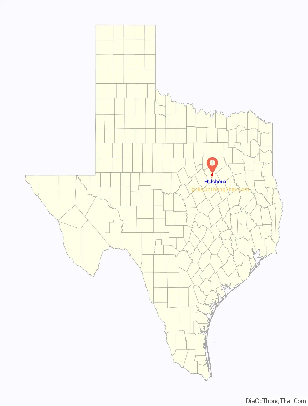
Hillsboro location map. Where is Hillsboro city?
History
Hillsboro was named for Hill County. At one point during Bonnie and Clyde’s robberies in Hillsboro, they took the Peterson family hostage at their own farm. Later the Petersons said that Bonnie and Clyde held them at gunpoint until they surrendered their barn for them to sleep in for a few nights before running again.
The city is known for its abundance of restored Victorian homes and its historic county courthouse, which on January 1, 1993, was heavily damaged by an electrical fire. It was rebuilt, courtesy of donations from around the world and two concerts sponsored by Hill County native Willie Nelson. The courthouse won the Downtown Association’s 1999 award for “Best Restoration”. The renovation sparked an interest in restoring Texas’s historic courthouses.
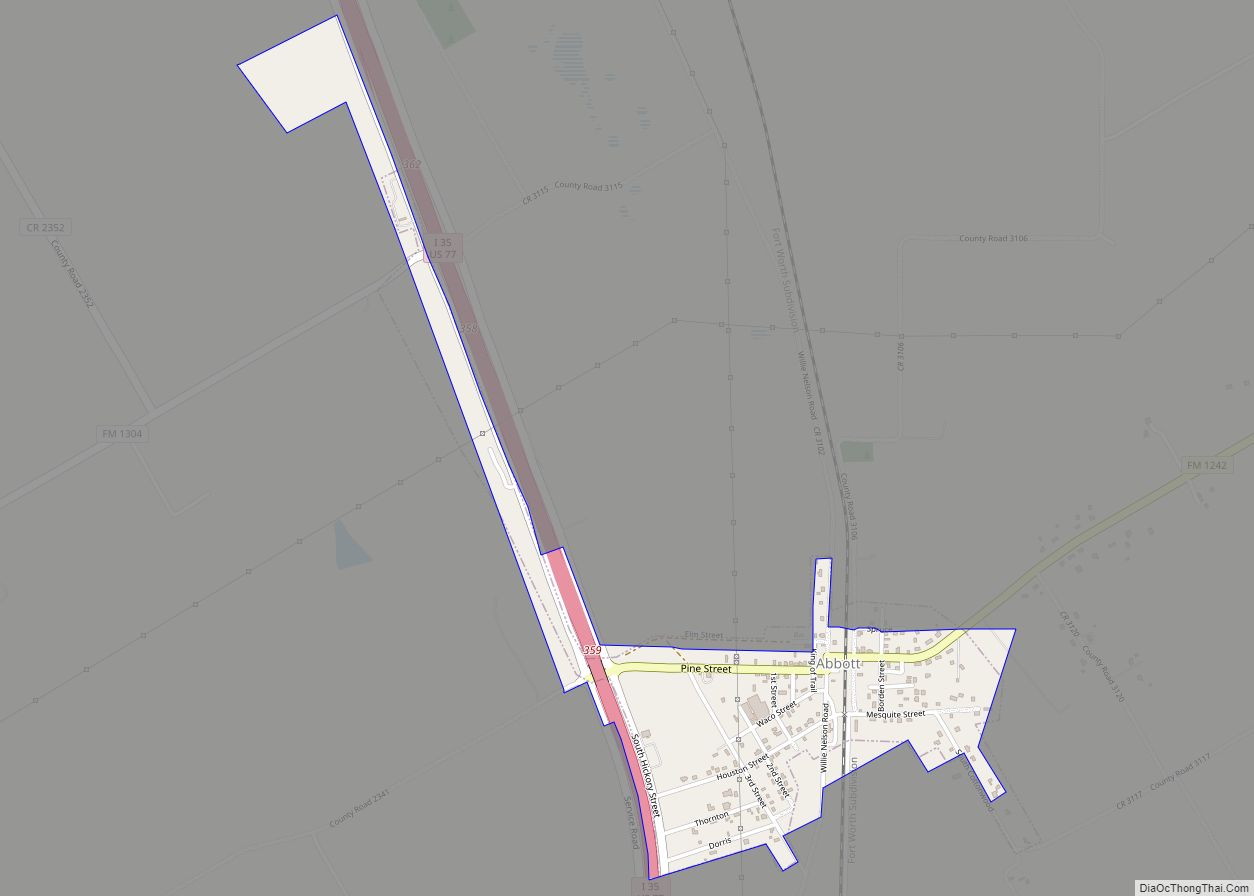
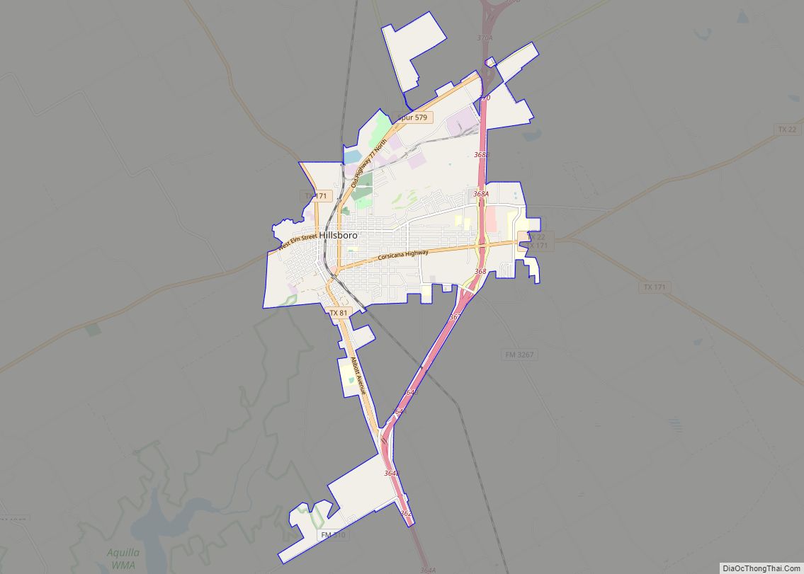
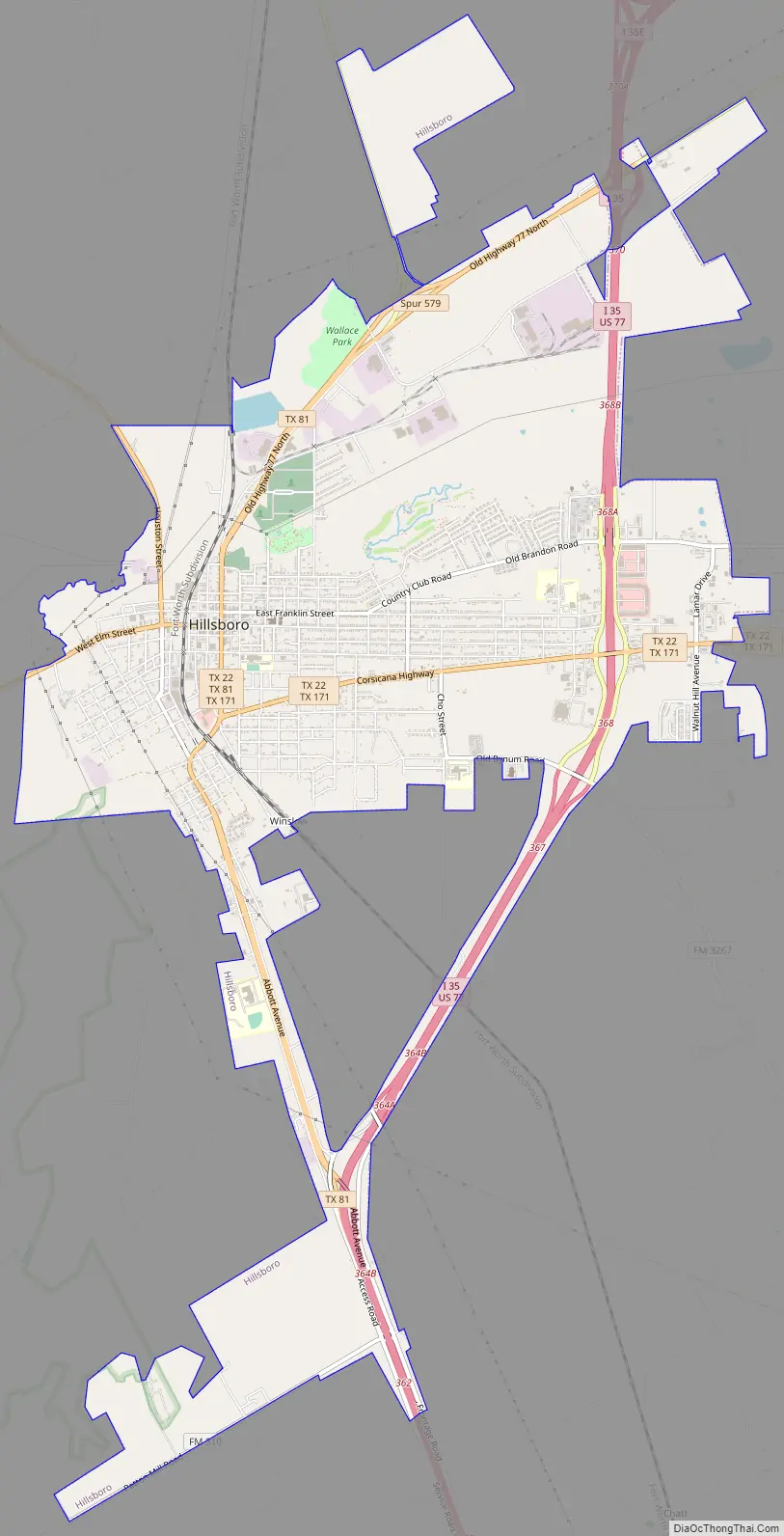
Hillsboro Road Map
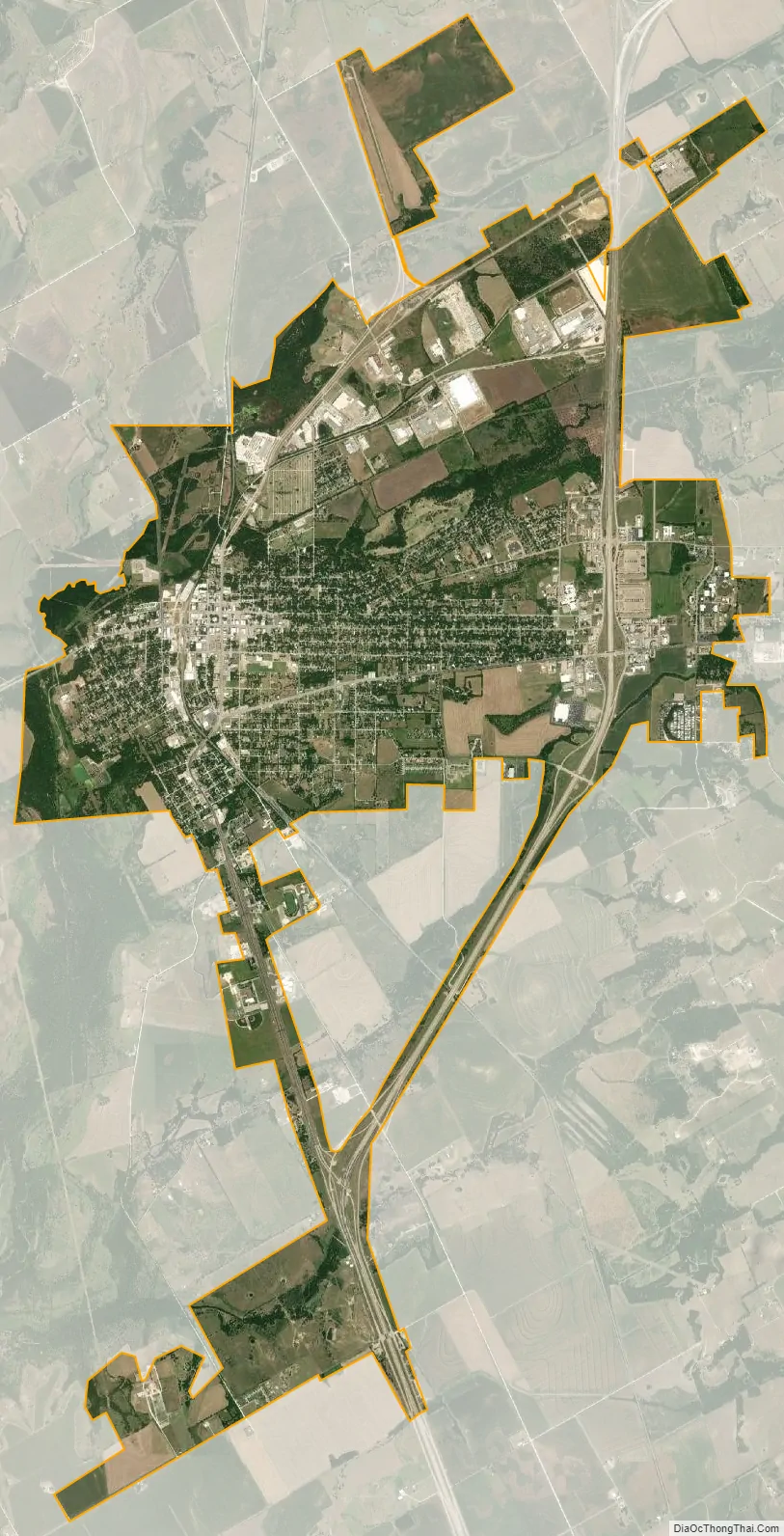
Hillsboro city Satellite Map
Geography
Hillsboro is located near the geographic center of Hill County at 32°0′34″N 97°7′28″W / 32.00944°N 97.12444°W / 32.00944; -97.12444 (32.009557, –97.124437). Interstate 35 runs through the eastern side of the city, with access from Exits 364 through 370. The I-35E/I-35W split is just north of the city limits. Hillsboro is 56 miles (90 km) south of Fort Worth, 62 miles (100 km) southwest of Dallas, and 34 miles (55 km) north of Waco.
Texas State Highway 22 runs through the center of Hillsboro on West Elm Street, South Waco Street, and Corsicana Highway. It leads west 19 miles (31 km) to Lake Whitney and east 40 miles (64 km) to Corsicana. Texas State Highway 171 passes through Hillsboro with Highway 22, but leads northwest 29 miles (47 km) to Cleburne and southeast 23 miles (37 km) to Hubbard.
According to the United States Census Bureau, Hillsboro has a total area of 10.3 square miles (26.6 km), of which 10.2 square miles (26.3 km) are land and 0.1 square miles (0.3 km), or 0.99%, are water.
See also
Map of Texas State and its subdivision:- Anderson
- Andrews
- Angelina
- Aransas
- Archer
- Armstrong
- Atascosa
- Austin
- Bailey
- Bandera
- Bastrop
- Baylor
- Bee
- Bell
- Bexar
- Blanco
- Borden
- Bosque
- Bowie
- Brazoria
- Brazos
- Brewster
- Briscoe
- Brooks
- Brown
- Burleson
- Burnet
- Caldwell
- Calhoun
- Callahan
- Cameron
- Camp
- Carson
- Cass
- Castro
- Chambers
- Cherokee
- Childress
- Clay
- Cochran
- Coke
- Coleman
- Collin
- Collingsworth
- Colorado
- Comal
- Comanche
- Concho
- Cooke
- Coryell
- Cottle
- Crane
- Crockett
- Crosby
- Culberson
- Dallam
- Dallas
- Dawson
- Deaf Smith
- Delta
- Denton
- Dewitt
- Dickens
- Dimmit
- Donley
- Duval
- Eastland
- Ector
- Edwards
- El Paso
- Ellis
- Erath
- Falls
- Fannin
- Fayette
- Fisher
- Floyd
- Foard
- Fort Bend
- Franklin
- Freestone
- Frio
- Gaines
- Galveston
- Garza
- Gillespie
- Glasscock
- Goliad
- Gonzales
- Gray
- Grayson
- Gregg
- Grimes
- Guadalupe
- Hale
- Hall
- Hamilton
- Hansford
- Hardeman
- Hardin
- Harris
- Harrison
- Hartley
- Haskell
- Hays
- Hemphill
- Henderson
- Hidalgo
- Hill
- Hockley
- Hood
- Hopkins
- Houston
- Howard
- Hudspeth
- Hunt
- Hutchinson
- Irion
- Jack
- Jackson
- Jasper
- Jeff Davis
- Jefferson
- Jim Hogg
- Jim Wells
- Johnson
- Jones
- Karnes
- Kaufman
- Kendall
- Kenedy
- Kent
- Kerr
- Kimble
- King
- Kinney
- Kleberg
- Knox
- La Salle
- Lamar
- Lamb
- Lampasas
- Lavaca
- Lee
- Leon
- Liberty
- Limestone
- Lipscomb
- Live Oak
- Llano
- Loving
- Lubbock
- Lynn
- Madison
- Marion
- Martin
- Mason
- Matagorda
- Maverick
- McCulloch
- McLennan
- McMullen
- Medina
- Menard
- Midland
- Milam
- Mills
- Mitchell
- Montague
- Montgomery
- Moore
- Morris
- Motley
- Nacogdoches
- Navarro
- Newton
- Nolan
- Nueces
- Ochiltree
- Oldham
- Orange
- Palo Pinto
- Panola
- Parker
- Parmer
- Pecos
- Polk
- Potter
- Presidio
- Rains
- Randall
- Reagan
- Real
- Red River
- Reeves
- Refugio
- Roberts
- Robertson
- Rockwall
- Runnels
- Rusk
- Sabine
- San Augustine
- San Jacinto
- San Patricio
- San Saba
- Schleicher
- Scurry
- Shackelford
- Shelby
- Sherman
- Smith
- Somervell
- Starr
- Stephens
- Sterling
- Stonewall
- Sutton
- Swisher
- Tarrant
- Taylor
- Terrell
- Terry
- Throckmorton
- Titus
- Tom Green
- Travis
- Trinity
- Tyler
- Upshur
- Upton
- Uvalde
- Val Verde
- Van Zandt
- Victoria
- Walker
- Waller
- Ward
- Washington
- Webb
- Wharton
- Wheeler
- Wichita
- Wilbarger
- Willacy
- Williamson
- Wilson
- Winkler
- Wise
- Wood
- Yoakum
- Young
- Zapata
- Zavala
- Alabama
- Alaska
- Arizona
- Arkansas
- California
- Colorado
- Connecticut
- Delaware
- District of Columbia
- Florida
- Georgia
- Hawaii
- Idaho
- Illinois
- Indiana
- Iowa
- Kansas
- Kentucky
- Louisiana
- Maine
- Maryland
- Massachusetts
- Michigan
- Minnesota
- Mississippi
- Missouri
- Montana
- Nebraska
- Nevada
- New Hampshire
- New Jersey
- New Mexico
- New York
- North Carolina
- North Dakota
- Ohio
- Oklahoma
- Oregon
- Pennsylvania
- Rhode Island
- South Carolina
- South Dakota
- Tennessee
- Texas
- Utah
- Vermont
- Virginia
- Washington
- West Virginia
- Wisconsin
- Wyoming