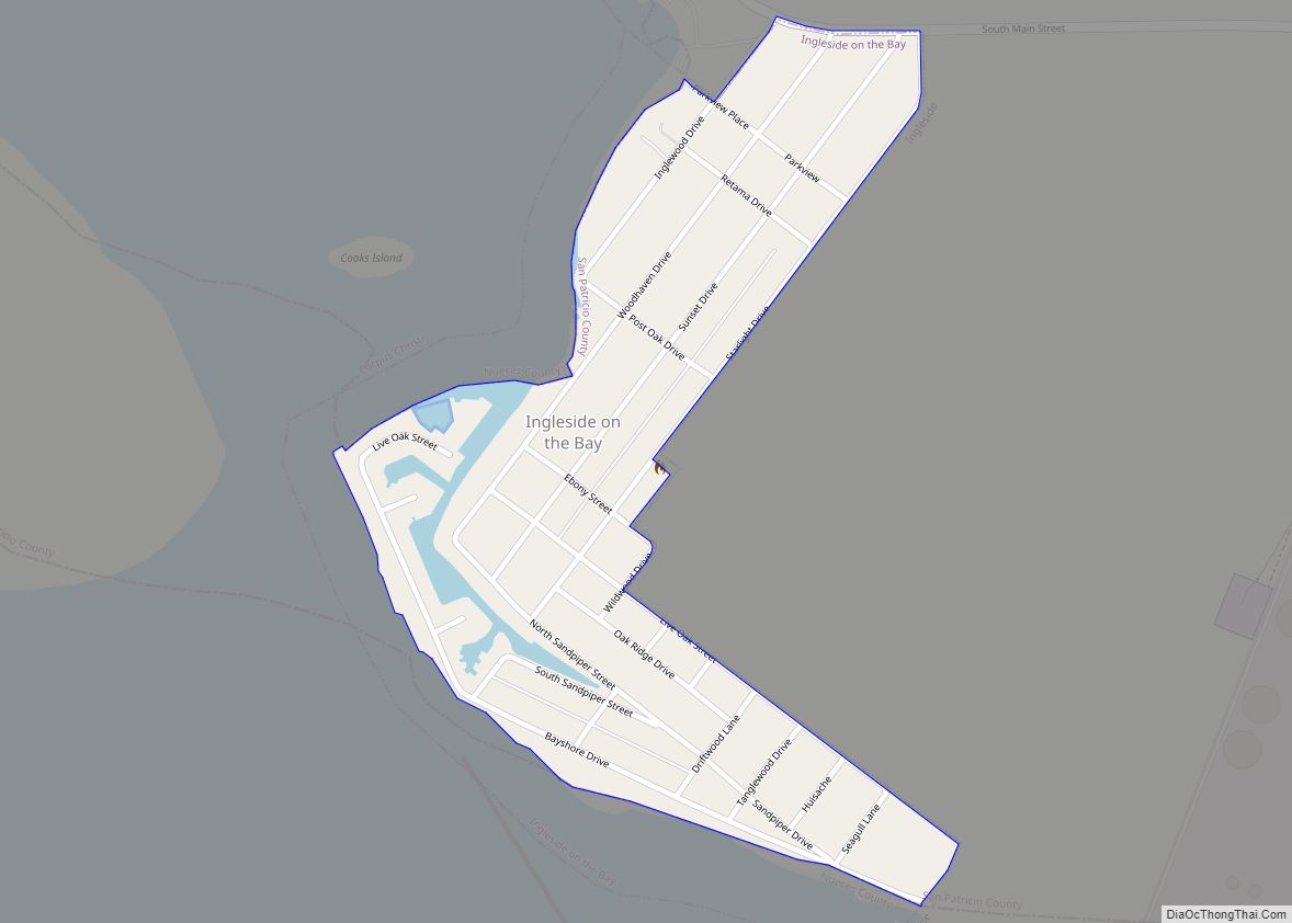
Ingleside on the Bay is a city in San Patricio County, Texas, United States. The population was 615 at the 2010 census. Ingleside on the Bay city overview: Name: Ingleside on the Bay city LSAD Code: 25 LSAD Description: city (suffix) State: Texas County: San Patricio County Elevation: 10 ft (3 m) Total Area: 0.31 sq mi (0.79 km²) Land ... Read more
Texas Cities and Places
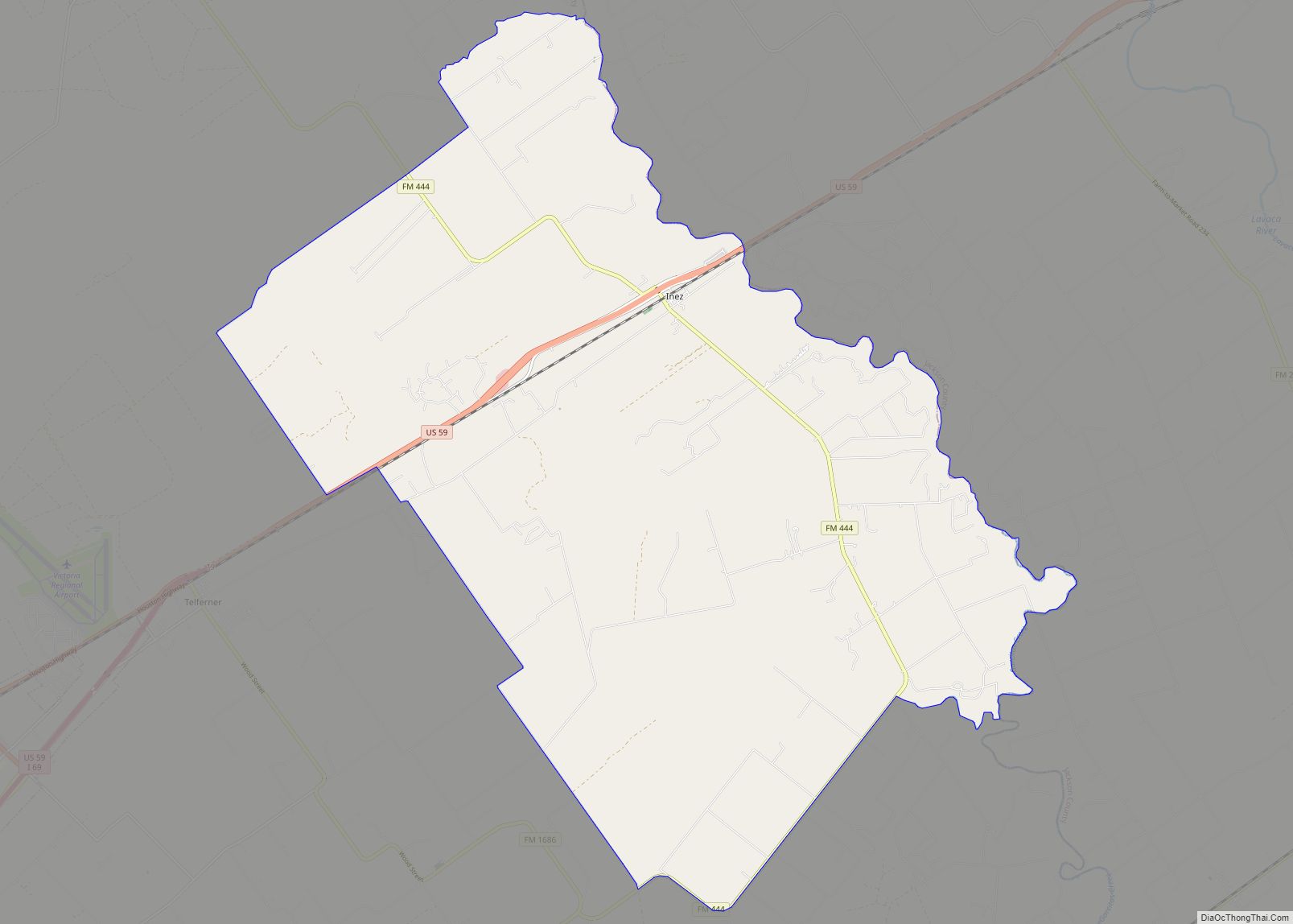
Inez (/ˈaɪnɛz/ EYE-nez) is a census-designated place (CDP), on Interstate 69/U.S. Highway 59 fifteen miles northeast of Victoria, Texas, near the Jackson County, Texas line in Victoria County, Texas, United States. The population was 2,098 at the 2010 census. It is included in the Victoria, Texas, Metropolitan Statistical Area. The name is that of a ... Read more
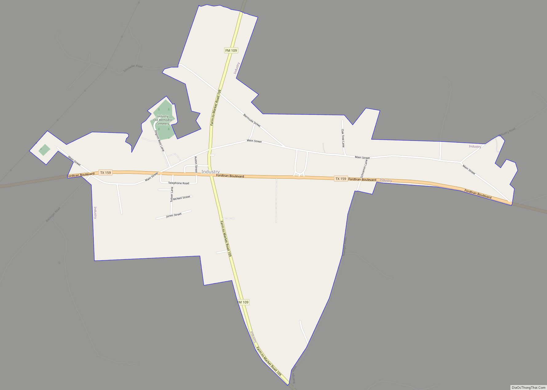
Industry is a town in Austin County, Texas, United States, at the junction of State Highway 159 (SH 159) and Farm to Market Road 109 (FM 109). The population was 268 at the 2020 census. Industry was the first permanent German settlement in Texas. Friedrich Ernst, Industry’s founder, settled here in 1831 and gained Industry the title ... Read more
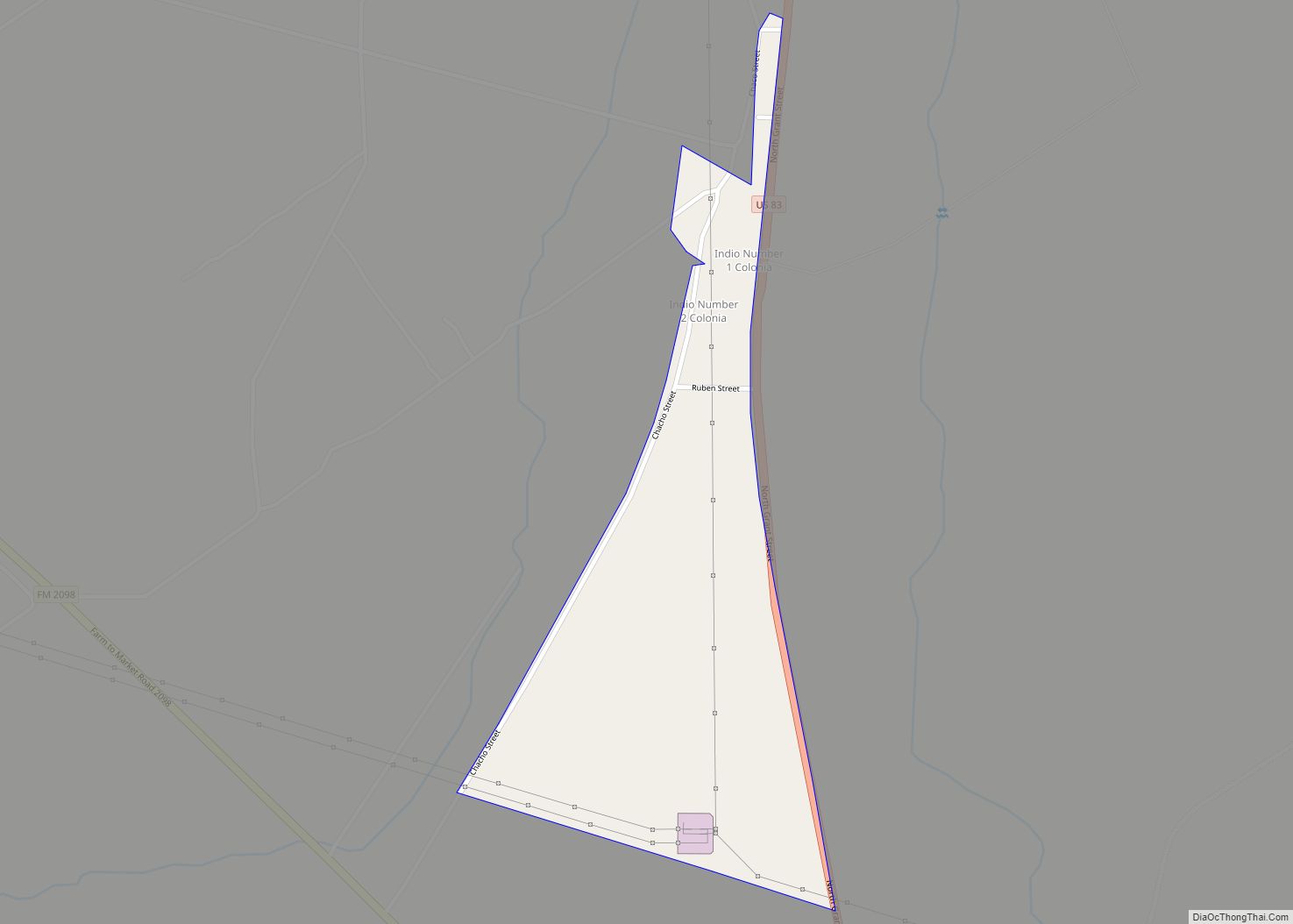
Indio is a census-designated place (CDP) in Starr County, Texas, United States. It is a new CDP formed from part of the Falcon Heights CDP prior to the 2010 census with a population of 50. Indio CDP overview: Name: Indio CDP LSAD Code: 57 LSAD Description: CDP (suffix) State: Texas County: Starr County Total Area: ... Read more
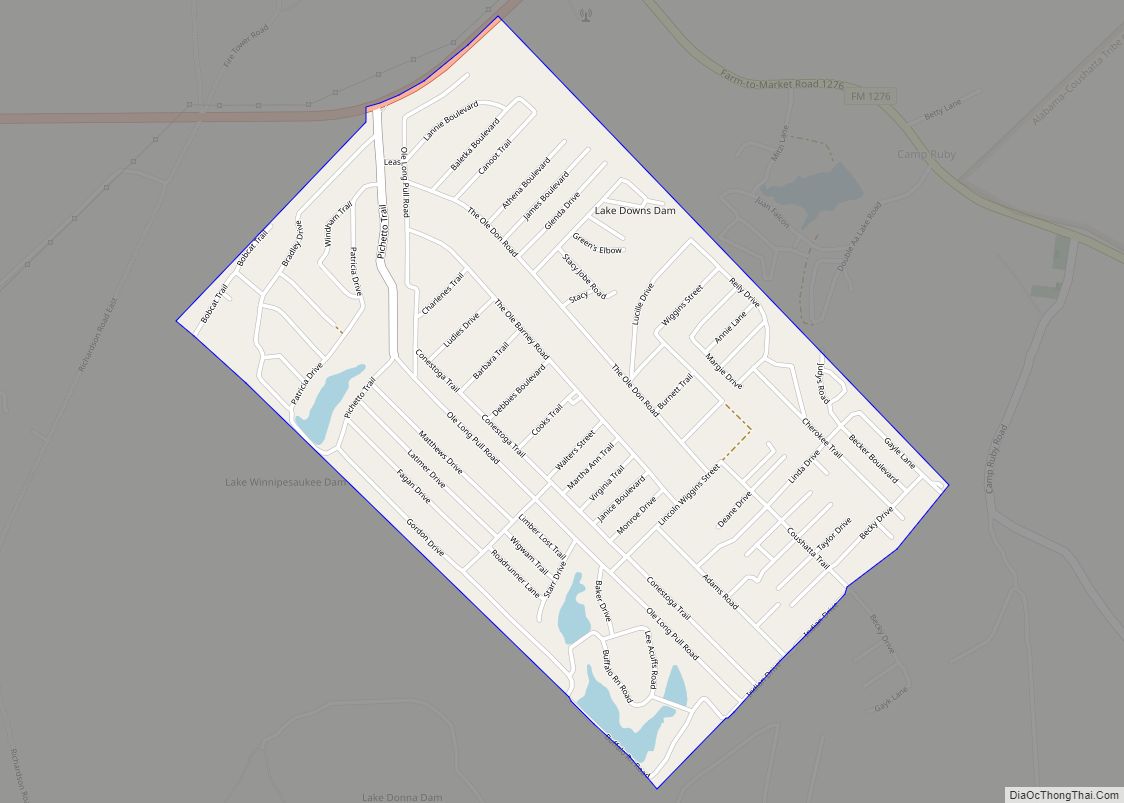
Indian Springs is a census-designated place (CDP) in Polk County, Texas, United States. This was a new CDP for the 2010 census with a population of 785. Indian Springs CDP overview: Name: Indian Springs CDP LSAD Code: 57 LSAD Description: CDP (suffix) State: Texas County: Polk County Total Area: 1.9 sq mi (4.9 km²) Land Area: 1.8 sq mi (4.7 km²) ... Read more
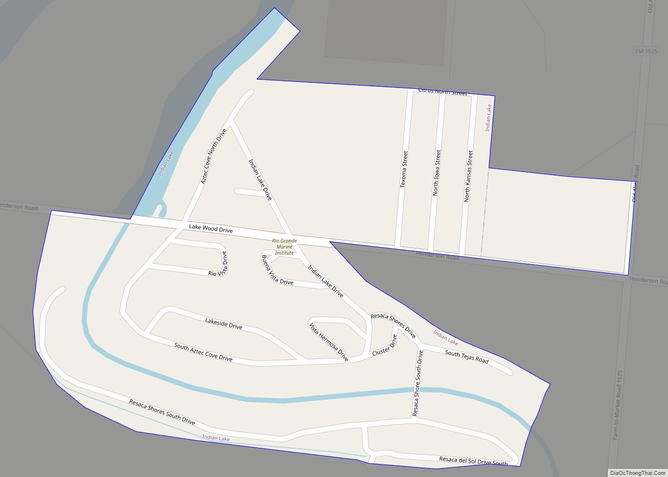
Indian Lake is a town in Cameron County, Texas, United States. The population was 640 at the 2010 census. It may be included as part of the Brownsville–Harlingen–Raymondville and the Matamoros–Brownsville metropolitan areas. Indian Lake town overview: Name: Indian Lake town LSAD Code: 43 LSAD Description: town (suffix) State: Texas County: Cameron County Elevation: 30 ft ... Read more
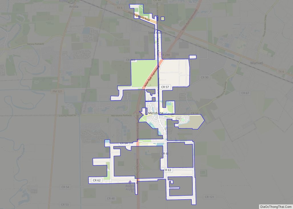
Iowa Colony is an incorporated Home Rule City in Brazoria County, Texas, United States, in the Houston metropolitan area. As of the 2010 census the city has a population of 1,170. Iowa Colony village overview: Name: Iowa Colony village LSAD Code: 47 LSAD Description: village (suffix) State: Texas County: Brazoria County Founded: 1908 Incorporated: 1973 ... Read more
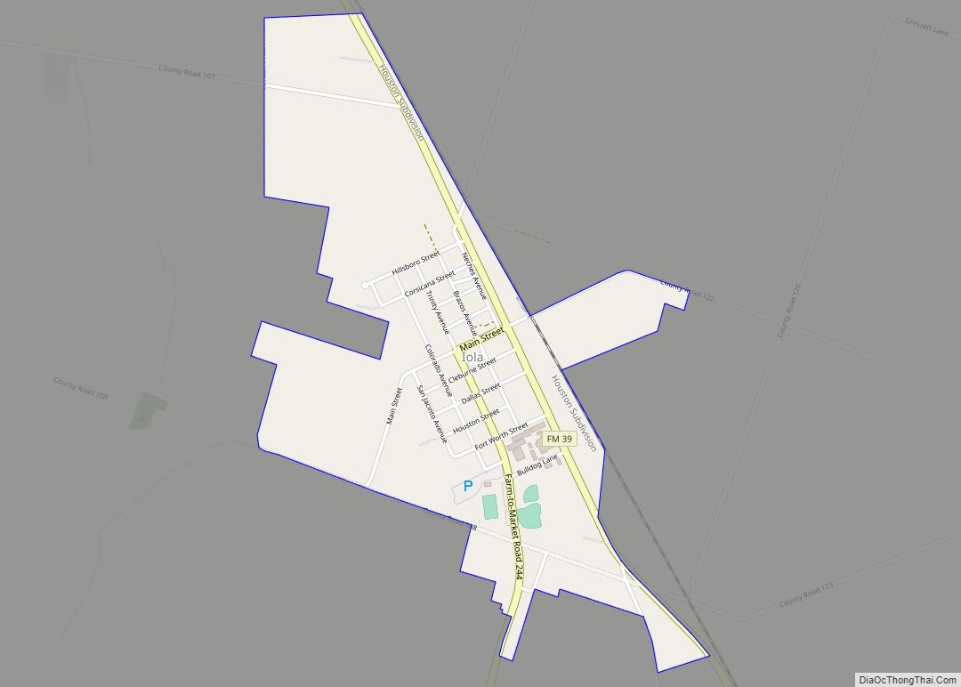
Iola is a city in Grimes County, Texas, United States, on Farm Road 39 and the Burlington-Rock Island Railway, at the headwaters of Ragan Creek in northwest Grimes County. As of the 2010 census the population was 401. Iola city overview: Name: Iola city LSAD Code: 25 LSAD Description: city (suffix) State: Texas County: Grimes ... Read more
Jacksonville is a city located in Cherokee County, Texas, United States. The population was 13,997 at the 2020 U.S. census. It is the principal city of the Jacksonville micropolitan statistical area, which includes all of Cherokee County. Jacksonville is located in East Texas, north of the county seat, Rusk, and south of Tyler, in Smith ... Read more
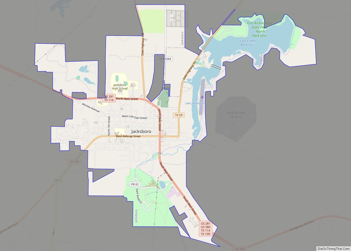
Jacksboro is a city in Jack County, Texas, in the United States. Its population was 4,511 at the 2010 census. U.S. Highways 281 and 380, and Texas State Highways 114 and 199 intersect at Jacksboro, which is the county seat of Jack County. Jacksboro city overview: Name: Jacksboro city LSAD Code: 25 LSAD Description: city ... Read more
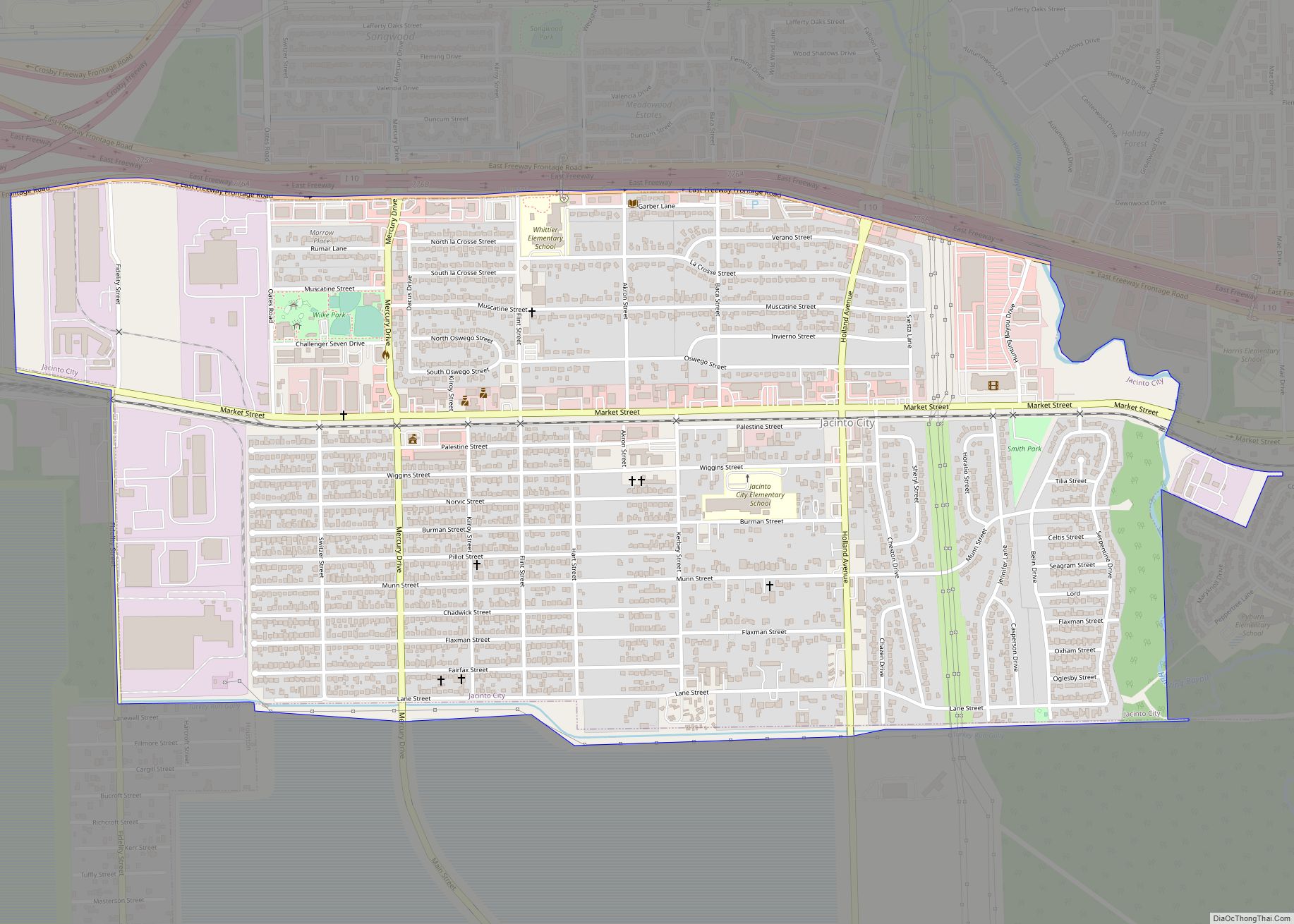
Jacinto City is a city in Harris County, Texas, United States, east of the intersection of Interstate 10 and the East Loop of Interstate 610. Jacinto City is part of the Houston–Sugar Land–Baytown metropolitan area and is bordered by the cities of Houston and Galena Park. The population was 9,613 at the 2020 census. Jacinto ... Read more
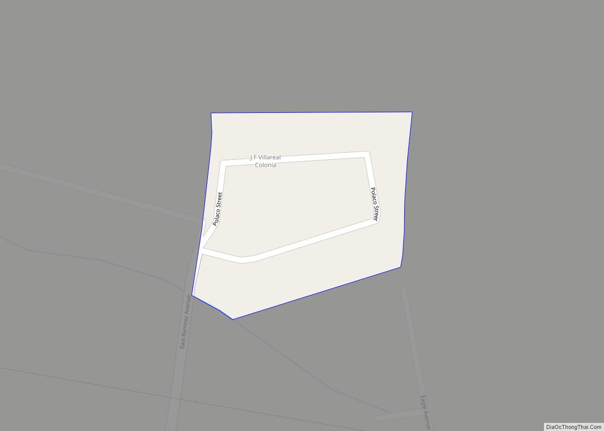
JF Villarreal is a census-designated place (CDP) in Starr County, Texas, United States. It is a new CDP formed from part of the North Escobares CDP prior to the 2010 census with a population of 104. J.F. Villareal CDP overview: Name: J.F. Villareal CDP LSAD Code: 57 LSAD Description: CDP (suffix) State: Texas County: Starr ... Read more
