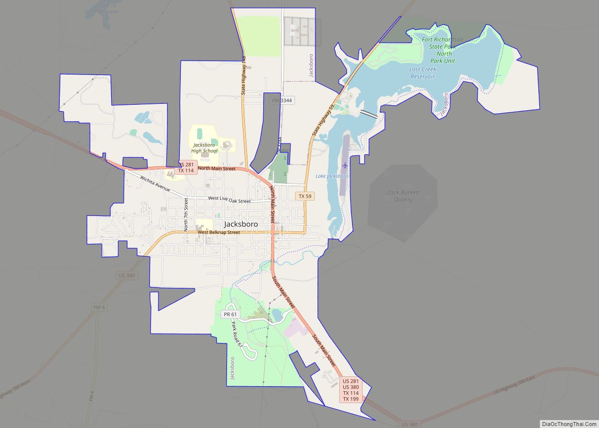
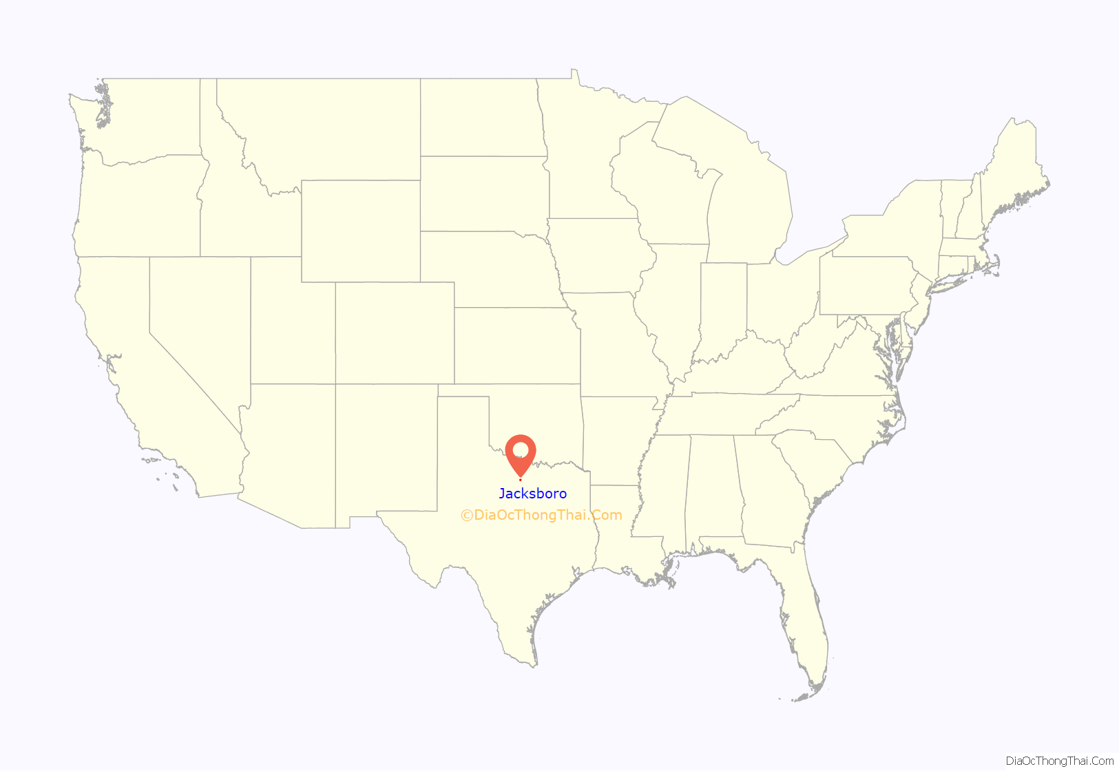
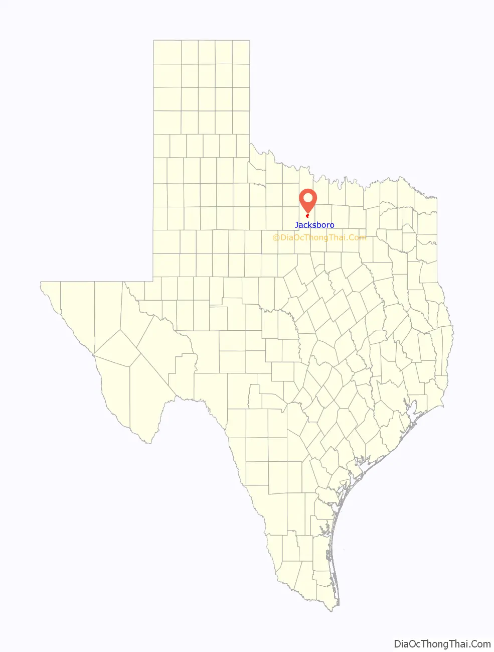
Jacksboro is a city in Jack County, Texas, in the United States. Its population was 4,511 at the 2010 census. U.S. Highways 281 and 380, and Texas State Highways 114 and 199 intersect at Jacksboro, which is the county seat of Jack County.
| Name: | Jacksboro city |
|---|---|
| LSAD Code: | 25 |
| LSAD Description: | city (suffix) |
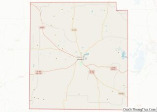
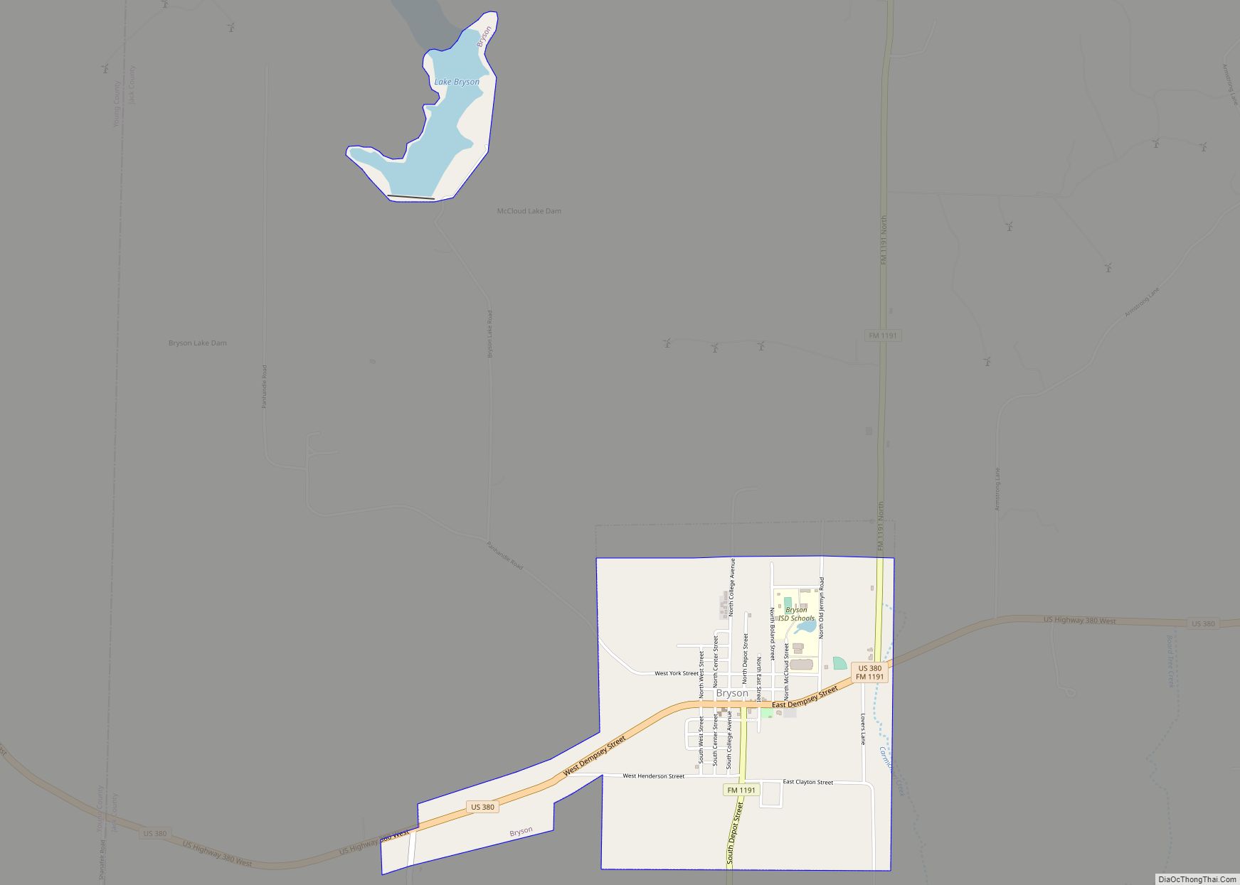
| State: | Texas |
| County: | Jack County |
| Elevation: | 1,083 ft (330 m) |
| Total Area: | 8.09 sq mi (20.95 km²) |
| Land Area: | 7.23 sq mi (18.72 km²) |
| Water Area: | 0.86 sq mi (2.23 km²) |
| Total Population: | 4,511 |
| Population Density: | 606.61/sq mi (234.22/km²) |
| ZIP code: | 76458 |
| Area code: | 940 |
| FIPS code: | 4837168 |
| GNISfeature ID: | 1338568 |
| Website: | www.cityofjacksboro.com |
Online Interactive Map
Click on ![]() to view map in "full screen" mode.
to view map in "full screen" mode.
Jacksboro location map. Where is Jacksboro city?
History
Jacksboro was first settled in the 1850s, with newcomers attracted by land offers from the Texas Emigration and Land Office. Originally called “Mesquiteville”, the community grew up along the banks of Lost Creek and spread out over the pastureland between Lost Creek and the waters of the West Fork of Keechi Creek. It was renamed “Jacksboro” in 1858, when it became the county seat, in honor of brothers William and Patrick Jack, veterans of the Texas Revolution. Regular postal service began in 1859. Jacksboro was located on one route of the Butterfield Overland Mail.
The county was one of the few in Texas to vote against secession before the Civil War. It continued to suffer from Native American raids until Fort Richardson was built and garrisoned in 1870 south of Jacksboro. The town gained national attention in 1871 when two Kiowa chiefs, Satanta and Big Tree, were tried for murder there.
The arrival of the Chicago, Rock Island & Texas Railroad in 1898 increased the town’s commercial importance to the surrounding region, enhancing it as a center of trade. The completion of highways and other roads later on also connected the town to other markets.
Fort Richardson State Historical Park is in the southern part of the city. Jacksboro claims to have the first state 4-H club, formed in the 1910s.
On March 21, 2022, an EF3 tornado struck the town causing damage to around 80 homes and heavily damaging the high school. Nine people were injured.
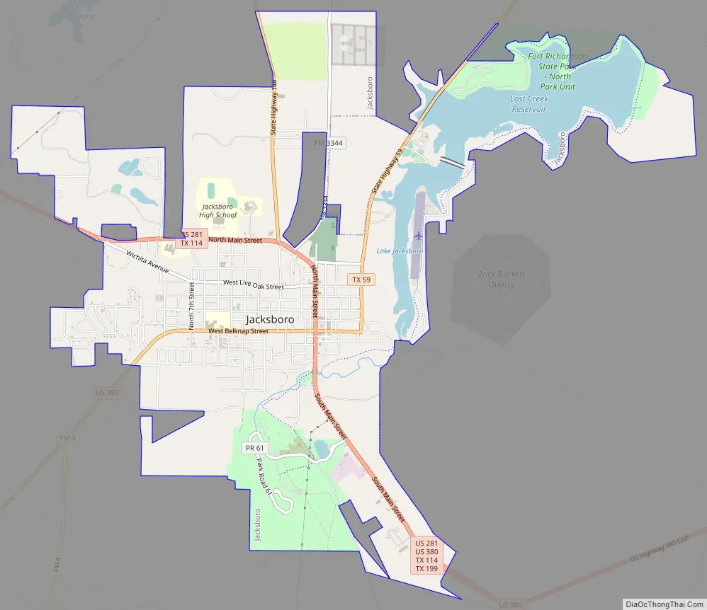
Jacksboro Road Map
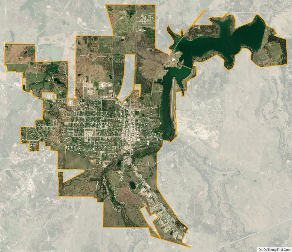
Jacksboro city Satellite Map
Geography
Jacksboro is located in central Jack County at 33°13′24″N 98°09′39″W / 33.223355°N 98.160845°W / 33.223355; -98.160845 (33.223355, –98.160845). U.S. Route 281 runs through the city center, leading south 31 miles (50 km) to Mineral Wells and northwest 58 miles (93 km) to Wichita Falls. U.S. Route 380 joins US 281 in the center of Jacksboro, but heads west out of town on Belknap Street, leading 27 miles (43 km) to Graham. US 380 leaves Jacksboro to the southeast with US 281, but then leads east 37 miles (60 km) to Decatur. Fort Worth is 60 miles (97 km) southeast of Jacksboro via US 281 and Texas State Highway 199.
According to the United States Census Bureau, Jacksboro has a total area of 8.1 square miles (21.1 km), of which 0.89 sq mi (2.3 km) is covered by water. The water area comprises Lake Jacksboro, a reservoir on Lost Creek in the northeast part of the city. Jacksboro is part of the watershed of the West Fork of the Trinity River.
Climate
The climate in this area is characterized by hot, humid summers and generally mild to cool winters. According to the Köppen climate classification, Jacksboro has a humid subtropical climate, Cfa on climate maps.
See also
Map of Texas State and its subdivision:- Anderson
- Andrews
- Angelina
- Aransas
- Archer
- Armstrong
- Atascosa
- Austin
- Bailey
- Bandera
- Bastrop
- Baylor
- Bee
- Bell
- Bexar
- Blanco
- Borden
- Bosque
- Bowie
- Brazoria
- Brazos
- Brewster
- Briscoe
- Brooks
- Brown
- Burleson
- Burnet
- Caldwell
- Calhoun
- Callahan
- Cameron
- Camp
- Carson
- Cass
- Castro
- Chambers
- Cherokee
- Childress
- Clay
- Cochran
- Coke
- Coleman
- Collin
- Collingsworth
- Colorado
- Comal
- Comanche
- Concho
- Cooke
- Coryell
- Cottle
- Crane
- Crockett
- Crosby
- Culberson
- Dallam
- Dallas
- Dawson
- Deaf Smith
- Delta
- Denton
- Dewitt
- Dickens
- Dimmit
- Donley
- Duval
- Eastland
- Ector
- Edwards
- El Paso
- Ellis
- Erath
- Falls
- Fannin
- Fayette
- Fisher
- Floyd
- Foard
- Fort Bend
- Franklin
- Freestone
- Frio
- Gaines
- Galveston
- Garza
- Gillespie
- Glasscock
- Goliad
- Gonzales
- Gray
- Grayson
- Gregg
- Grimes
- Guadalupe
- Hale
- Hall
- Hamilton
- Hansford
- Hardeman
- Hardin
- Harris
- Harrison
- Hartley
- Haskell
- Hays
- Hemphill
- Henderson
- Hidalgo
- Hill
- Hockley
- Hood
- Hopkins
- Houston
- Howard
- Hudspeth
- Hunt
- Hutchinson
- Irion
- Jack
- Jackson
- Jasper
- Jeff Davis
- Jefferson
- Jim Hogg
- Jim Wells
- Johnson
- Jones
- Karnes
- Kaufman
- Kendall
- Kenedy
- Kent
- Kerr
- Kimble
- King
- Kinney
- Kleberg
- Knox
- La Salle
- Lamar
- Lamb
- Lampasas
- Lavaca
- Lee
- Leon
- Liberty
- Limestone
- Lipscomb
- Live Oak
- Llano
- Loving
- Lubbock
- Lynn
- Madison
- Marion
- Martin
- Mason
- Matagorda
- Maverick
- McCulloch
- McLennan
- McMullen
- Medina
- Menard
- Midland
- Milam
- Mills
- Mitchell
- Montague
- Montgomery
- Moore
- Morris
- Motley
- Nacogdoches
- Navarro
- Newton
- Nolan
- Nueces
- Ochiltree
- Oldham
- Orange
- Palo Pinto
- Panola
- Parker
- Parmer
- Pecos
- Polk
- Potter
- Presidio
- Rains
- Randall
- Reagan
- Real
- Red River
- Reeves
- Refugio
- Roberts
- Robertson
- Rockwall
- Runnels
- Rusk
- Sabine
- San Augustine
- San Jacinto
- San Patricio
- San Saba
- Schleicher
- Scurry
- Shackelford
- Shelby
- Sherman
- Smith
- Somervell
- Starr
- Stephens
- Sterling
- Stonewall
- Sutton
- Swisher
- Tarrant
- Taylor
- Terrell
- Terry
- Throckmorton
- Titus
- Tom Green
- Travis
- Trinity
- Tyler
- Upshur
- Upton
- Uvalde
- Val Verde
- Van Zandt
- Victoria
- Walker
- Waller
- Ward
- Washington
- Webb
- Wharton
- Wheeler
- Wichita
- Wilbarger
- Willacy
- Williamson
- Wilson
- Winkler
- Wise
- Wood
- Yoakum
- Young
- Zapata
- Zavala
- Alabama
- Alaska
- Arizona
- Arkansas
- California
- Colorado
- Connecticut
- Delaware
- District of Columbia
- Florida
- Georgia
- Hawaii
- Idaho
- Illinois
- Indiana
- Iowa
- Kansas
- Kentucky
- Louisiana
- Maine
- Maryland
- Massachusetts
- Michigan
- Minnesota
- Mississippi
- Missouri
- Montana
- Nebraska
- Nevada
- New Hampshire
- New Jersey
- New Mexico
- New York
- North Carolina
- North Dakota
- Ohio
- Oklahoma
- Oregon
- Pennsylvania
- Rhode Island
- South Carolina
- South Dakota
- Tennessee
- Texas
- Utah
- Vermont
- Virginia
- Washington
- West Virginia
- Wisconsin
- Wyoming