Mildred is a town in Navarro County, Texas, United States. The population was 368 at the 2010 census. Mildred town overview: Name: Mildred town LSAD Code: 43 LSAD Description: town (suffix) State: Texas County: Navarro County Elevation: 430 ft (131 m) Total Area: 2.36 sq mi (6.12 km²) Land Area: 2.30 sq mi (5.95 km²) Water Area: 0.06 sq mi (0.17 km²) Total Population: 368 Population ... Read more
Texas Cities and Places
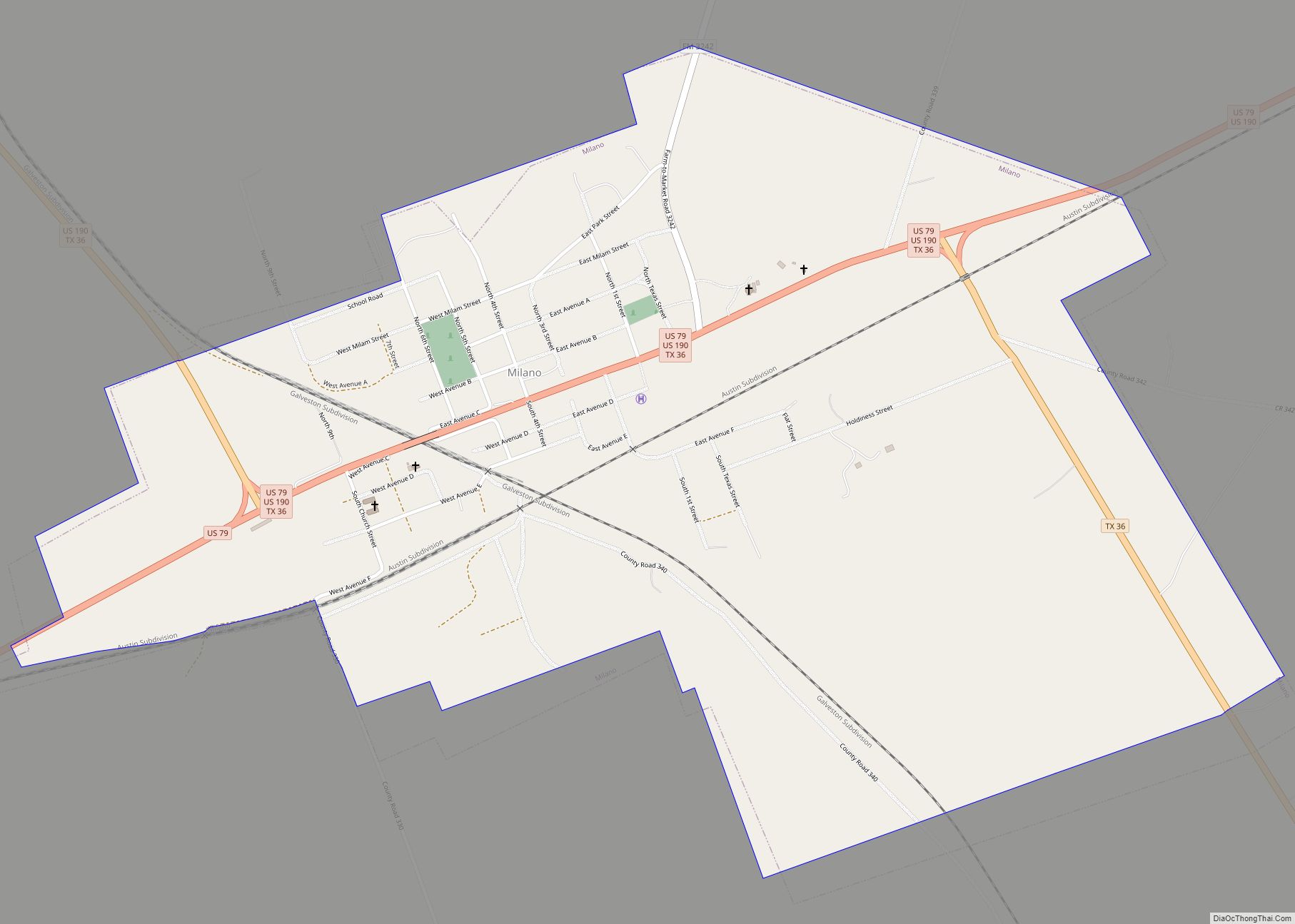
Milano is a city in Milam County, Texas, United States, located at the intersection of U.S. Route 79 and State Highway 36, twelve miles southeast of Cameron, the county seat. Its population was 390 at the 2020 census. On November 5, 1960, country music singer Johnny Horton was killed by a drunk driver on Highway ... Read more
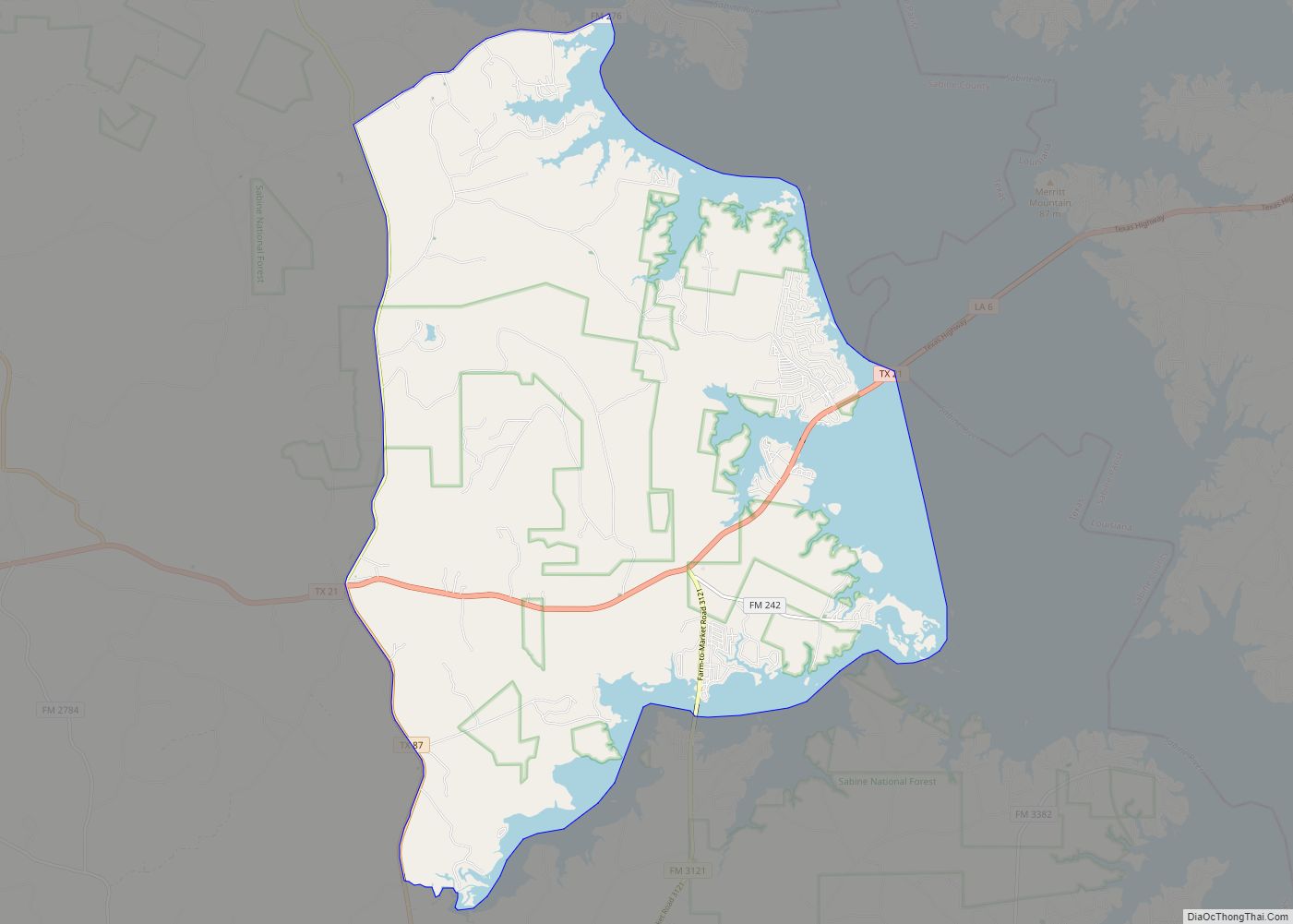
Milam is a census-designated place (CDP) in Sabine County, Texas, United States. It is located along the Sabine River at the junction of Highway 87 and Highway 21. The population was 1,355 at the 2020 census. Milam is the largest city in Sabine County. Milam CDP overview: Name: Milam CDP LSAD Code: 57 LSAD Description: ... Read more
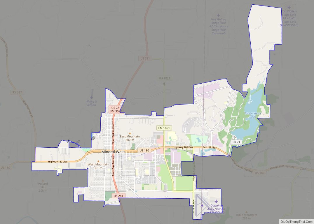
Mineral Wells is a city in Palo Pinto and Parker Counties in the U.S. state of Texas. The population was 14,820 at the 2020 census. The city is named for mineral wells in the area, which were highly popular in the early 1900s. Mineral Wells city overview: Name: Mineral Wells city LSAD Code: 25 LSAD ... Read more
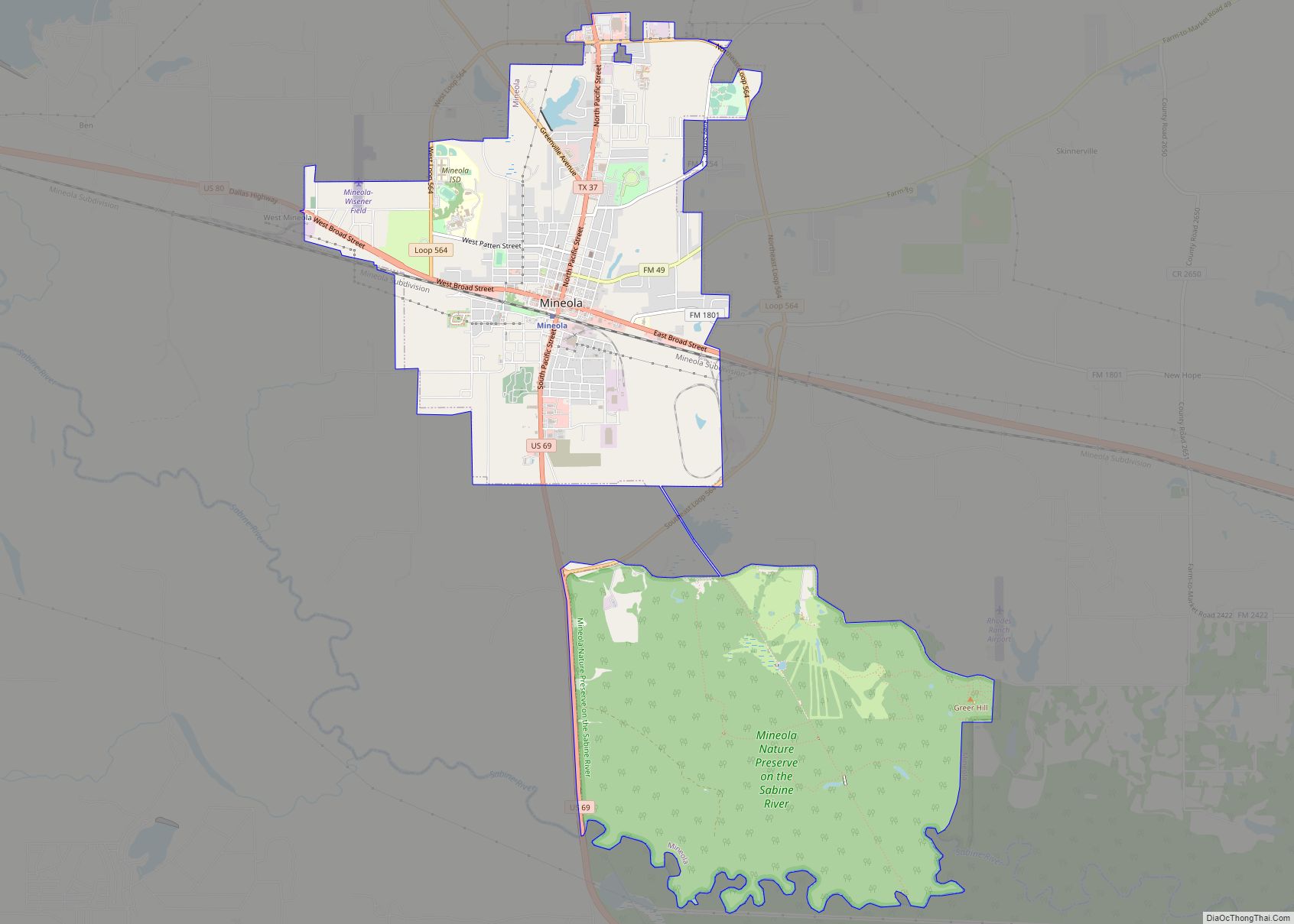
Mineola is a city in the U.S. state of Texas in Wood County. It lies 26 miles north of Tyler. Its population was 4,823 at the 2020 census. The town was incorporated as the railroads arrived in 1873. A railroad official, Ira H. Evans, combined the names of his daughter, Ola, and her friend, Minnie ... Read more
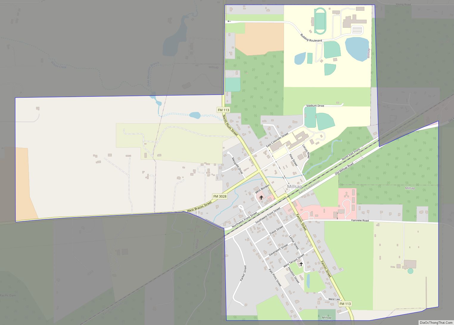
Millsap is a town in Parker County, Texas, United States. Its population was 403 at the 2010 census. Millsap town overview: Name: Millsap town LSAD Code: 43 LSAD Description: town (suffix) State: Texas County: Parker County Elevation: 817 ft (249 m) Total Area: 1.47 sq mi (3.82 km²) Land Area: 1.47 sq mi (3.80 km²) Water Area: 0.01 sq mi (0.02 km²) Total Population: 403 Population ... Read more
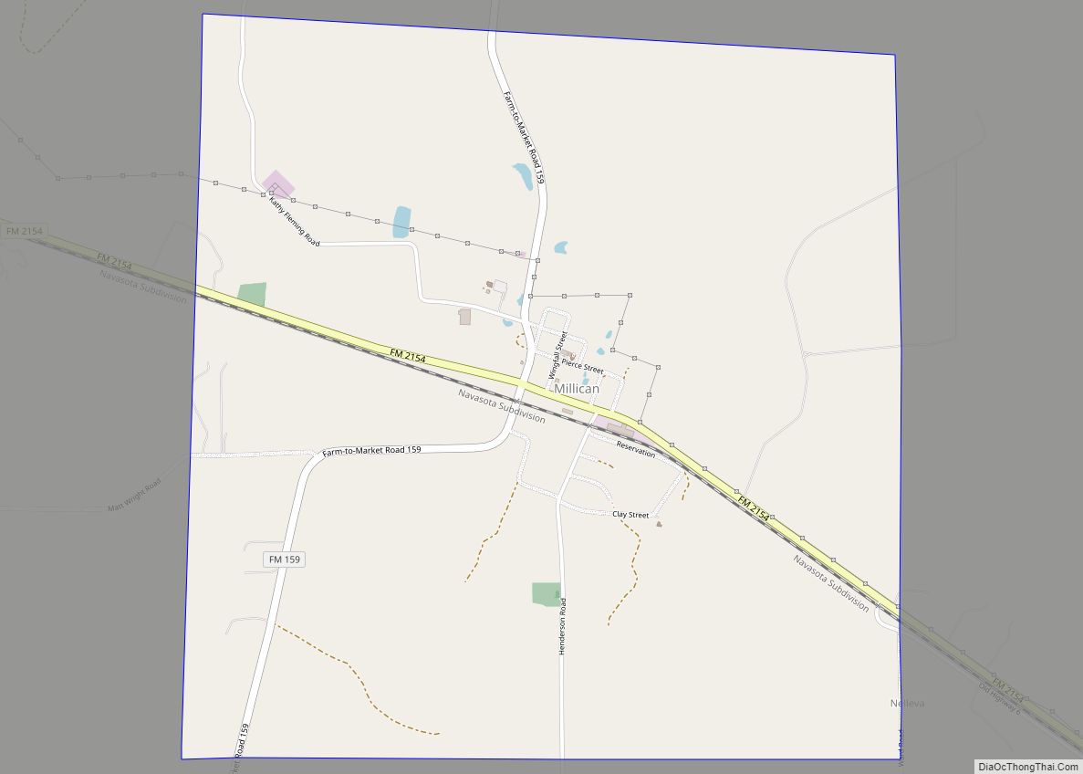
Millican town overview: Name: Millican town LSAD Code: 43 LSAD Description: town (suffix) State: Texas County: Brazos County FIPS code: 4848516 Online Interactive Map Millican online map. Source: Basemap layers from Google Map, Open Street Map (OSM), Arcgisonline, Wmflabs. Boundary Data from Database of Global Administrative Areas. Millican location map. Where is Millican town? Millican ... Read more
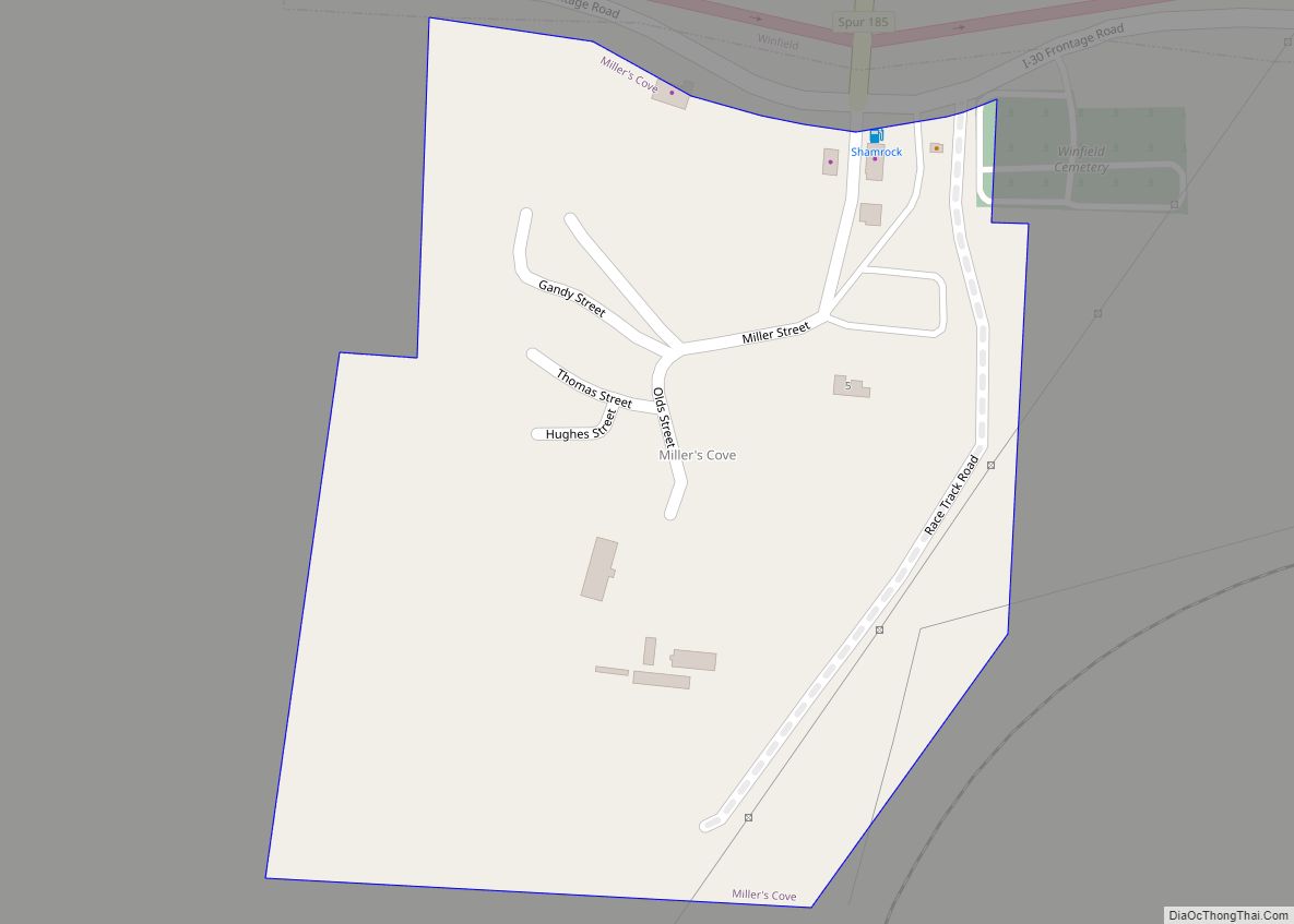
Miller’s Cove is a town in Titus County, Texas, United States. The population was 149 at the 2010 census. Miller’s Cove town overview: Name: Miller’s Cove town LSAD Code: 43 LSAD Description: town (suffix) State: Texas County: Titus County Elevation: 443 ft (135 m) Total Area: 0.17 sq mi (0.43 km²) Land Area: 0.16 sq mi (0.42 km²) Water Area: 0.00 sq mi (0.01 km²) Total ... Read more
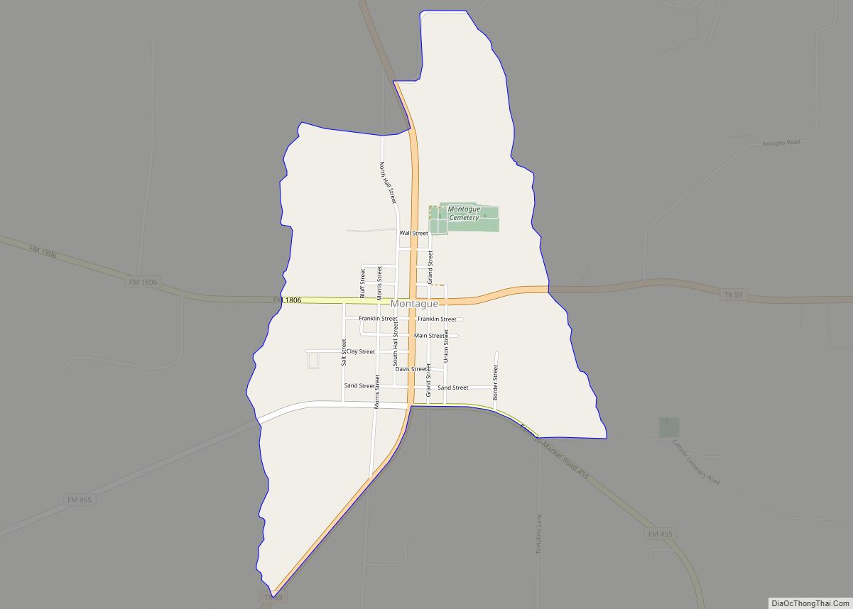
Montague (/ˈmɒnteɪɡ/ MAHN-tayg) is a census-designated place and unincorporated community in Montague County, Texas, United States. It is the county seat of Montague County and had an estimated population of 400 in 2000, according to the Handbook of Texas. Its population was 304 as of the 2010 census. Montague CDP overview: Name: Montague CDP LSAD ... Read more
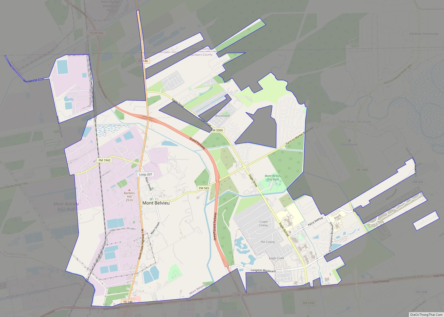
Mont Belvieu is a city in Chambers and Liberty counties in the U.S. state of Texas. It is just north of Interstate 10 along State Highway 146. The population was 7,654 at the 2020 census, an increase of nearly 100% from 3,835 in 2010. It is the site of the largest underground storage facility for ... Read more
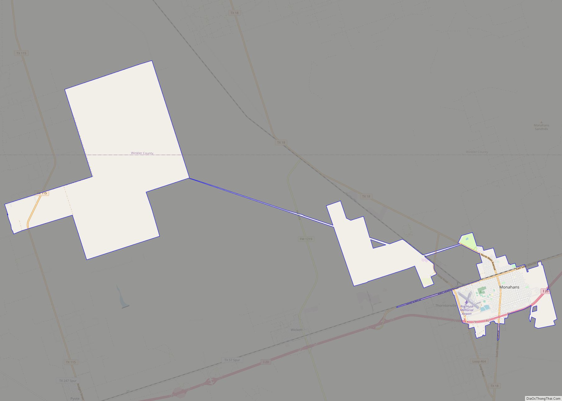
Monahans is a city in and the county seat of Ward County, Texas, United States. A very small portion of the city extends into Winkler County. The population was 6,953 at the 2010 census. In 2018, the population was estimated at 7,669. Monahans city overview: Name: Monahans city LSAD Code: 25 LSAD Description: city (suffix) ... Read more
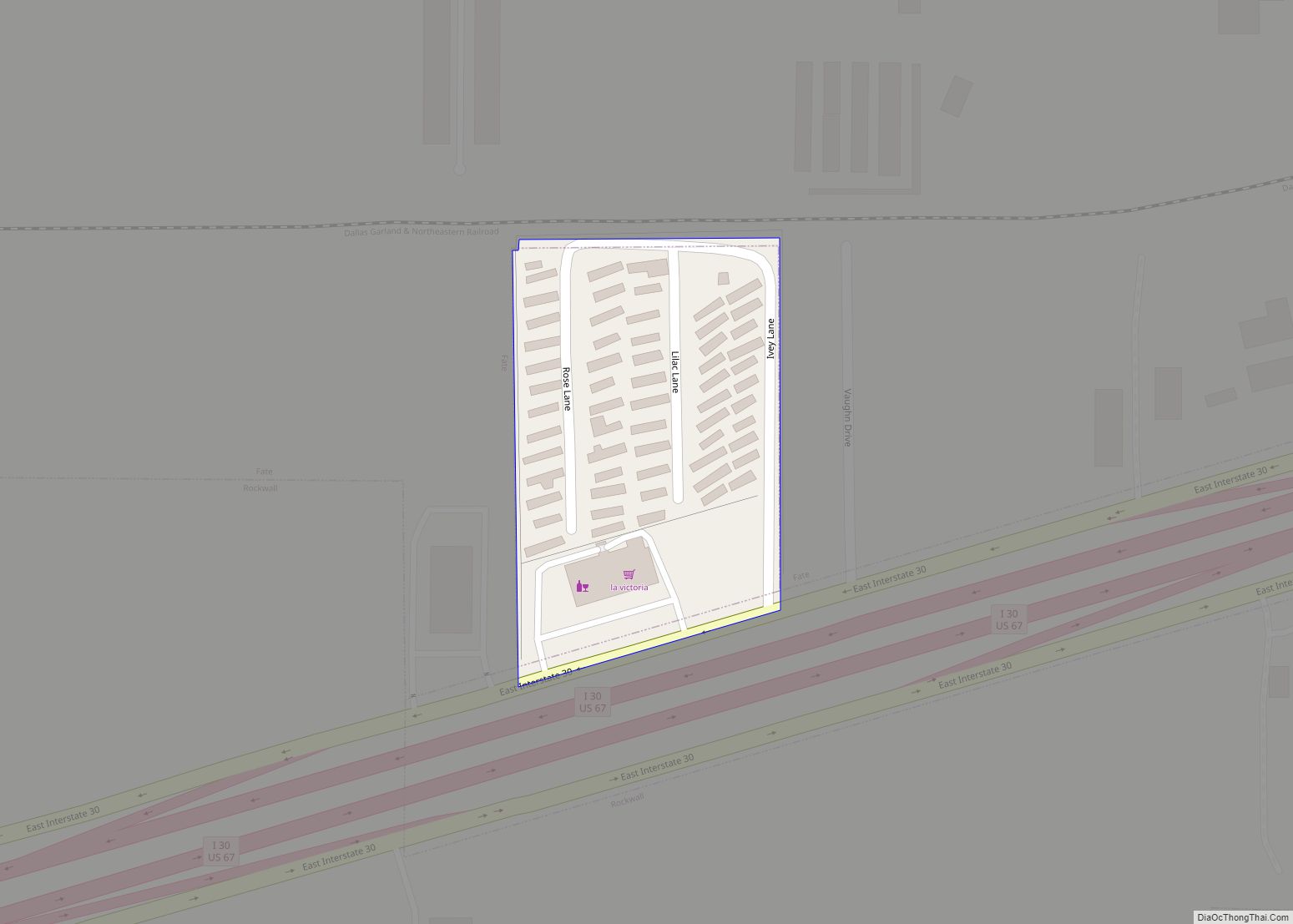
Mobile City is a city in Rockwall County, Texas, United States on the outskirts of Rockwall. The population was 142 at the 2020 census. It currently has the highest population density of any city in Texas, and is the only Texas city (and the smallest city in the country) with a population density of over ... Read more

