Mineola is a city in the U.S. state of Texas in Wood County. It lies 26 miles north of Tyler. Its population was 4,823 at the 2020 census.
The town was incorporated as the railroads arrived in 1873. A railroad official, Ira H. Evans, combined the names of his daughter, Ola, and her friend, Minnie Patten, to create the city name Mineola.
| Name: | Mineola city |
|---|---|
| LSAD Code: | 25 |
| LSAD Description: | city (suffix) |
| State: | Texas |
| County: | Wood County |
| Elevation: | 417 ft (127 m) |
| Total Area: | 10.45 sq mi (27.07 km²) |
| Land Area: | 10.28 sq mi (26.61 km²) |
| Water Area: | 0.18 sq mi (0.46 km²) |
| Total Population: | 4,823 |
| Population Density: | 463.84/sq mi (179.09/km²) |
| ZIP code: | 75773 |
| Area code: | 903 |
| FIPS code: | 4848648 |
| GNISfeature ID: | 1341708 |
| Website: | www.Mineola.com |
Online Interactive Map
Click on ![]() to view map in "full screen" mode.
to view map in "full screen" mode.
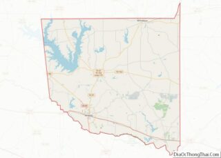
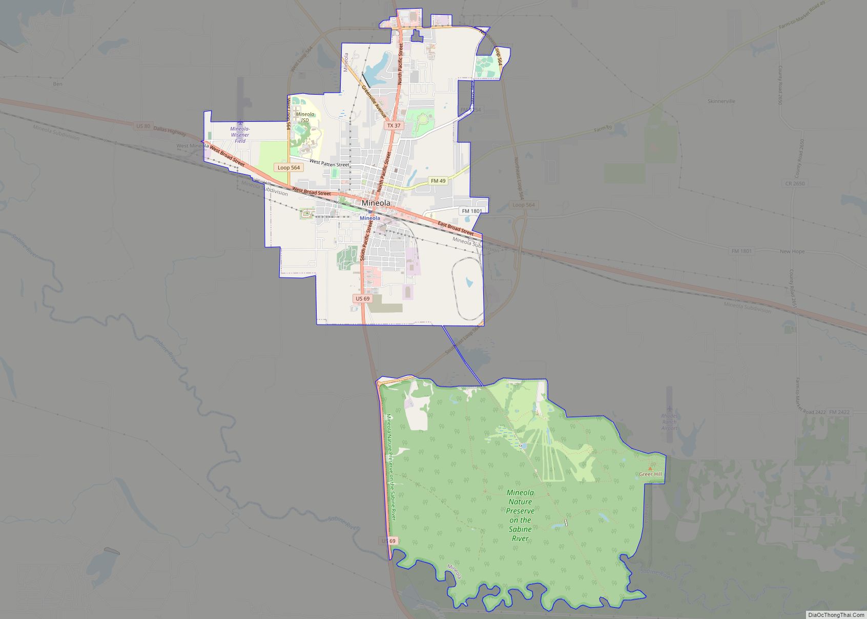
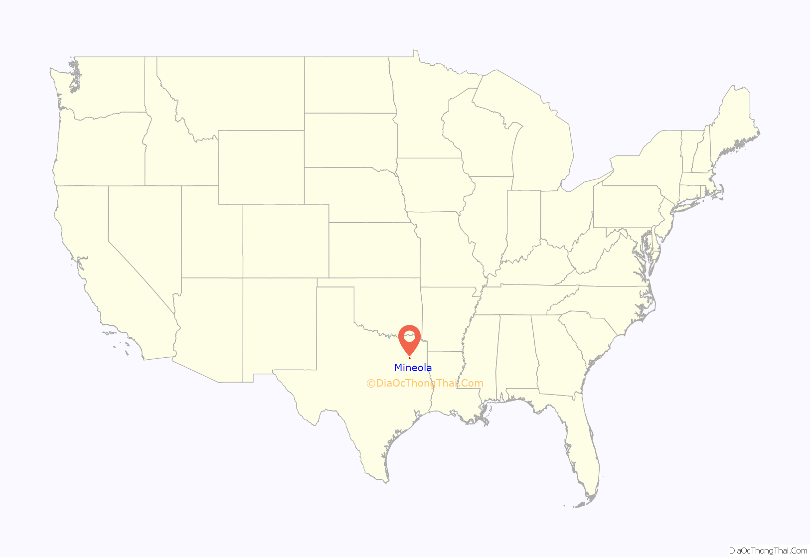
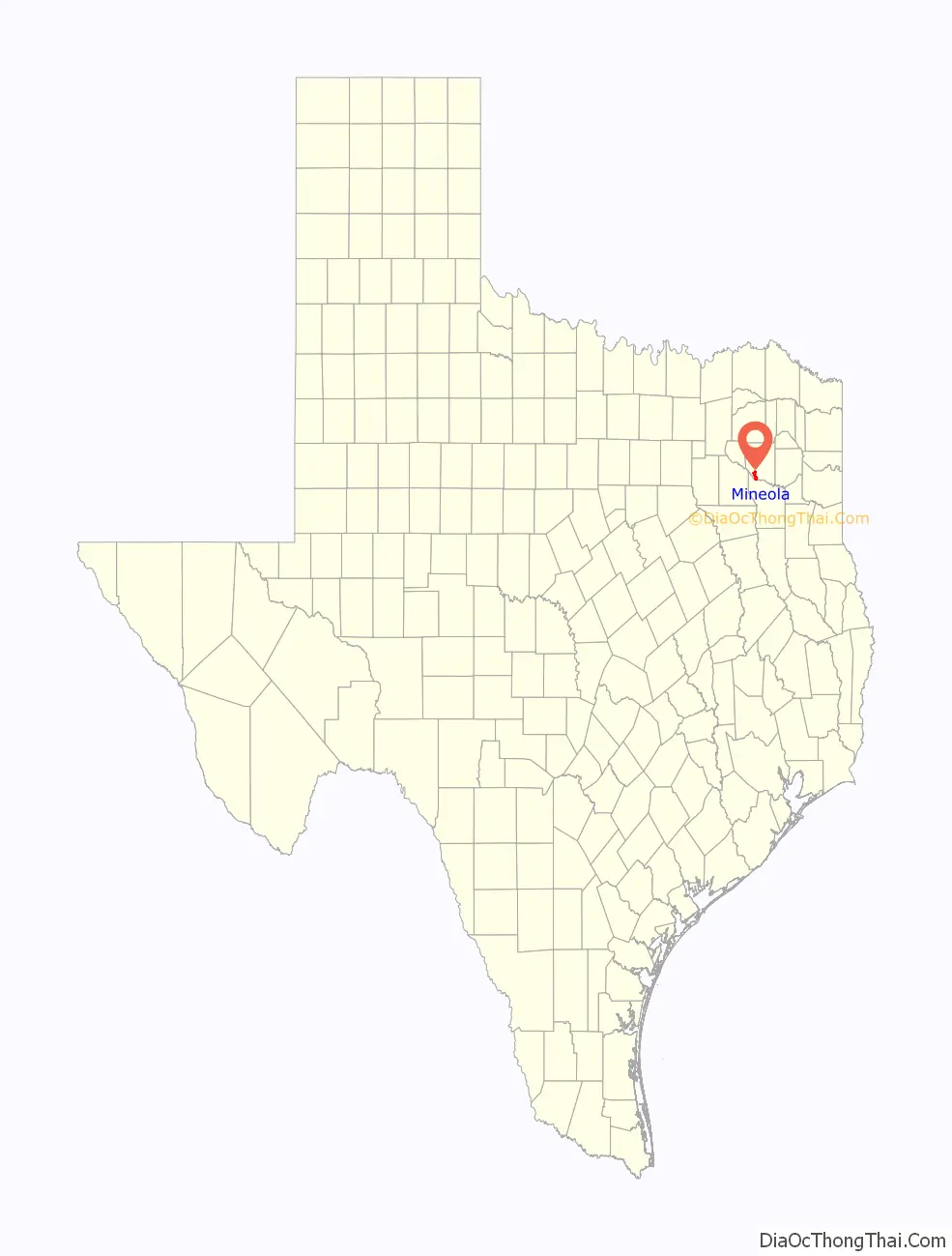
Mineola location map. Where is Mineola city?
History
Mineola came into existence when the railroads built lines through the eastern part of the state. In 1873, the Texas and Pacific and the International-Great Northern raced to see which could get to Mineola first. The I-GN reached the finish 15 minutes earlier. A city government was organized in 1873, a post office opened in 1875, and the town was incorporated in 1877, but a fire in the 1880s destroyed 18 buildings. The town’s oldest paper, the Mineola Monitor, was founded in 1876. By 1890, the town had seven churches, several schools including a black free school, hotels, banks. In 1895, Mineola became the site of the Wood County Fair.
Since Mineola was in the heart of the East Texas timber belt, timber was plentiful for making railroad ties and lumber. Mineola provided most of the ties to complete the T&P RR west to El Paso in 1879; S. Zuckerman, a Mineola resident, filled contracts for 85,000 ties that were used in the construction. During the community’s first 60 years, farm products included cotton, livestock, fruit, and berries. A chair factory opened in 1886, became a crate and basket factory in 1900, and operated until 1952. Highway improvement, the Magnolia Pipeline Company gas line, and the establishment of a railroad terminal caused growth during the 1920s, and the discovery of oil in parts of Wood County and construction of a T&P railroad shop spurred the economy during the 1940s. Diversified farming gave way to cattle raising and watermelon crops by 1950. The Mineola Watermelon Festival began in 1948. Subsequently, sweet-potato farming, a creamery, a nursery, and a company that supplies poles and pulpwood to the telephone company helped the economy.
The town remains a shipping center. The Mineola Memorial Library, largely financed by H. W. Meredith, was completed in 1960. Nearby Lake Holbrook, also completed in 1962, attracts residents and visitors. The Meredith Foundation has provided large sums for educational and cultural purposes since 1962. Meredith Hall Civic Center, completed in 1977, is used by large and small groups for varied events. The manufacture of women’s clothing, sporting goods, electronic connectors, fertilizer, and cattle feed, and the packaging of dry beans and meat provide employment for many people. The Wood County Airport, 5 nautical miles (9.3 km; 5.8 mi) north of Mineola, was completed in 1984. A new city hall complex was completed in 1986, and a two-school facility was completed in 1987.
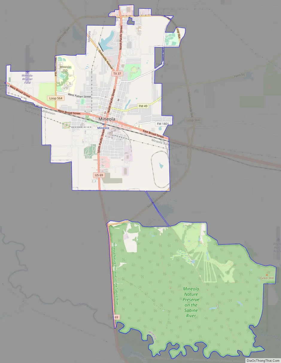
Mineola Road Map
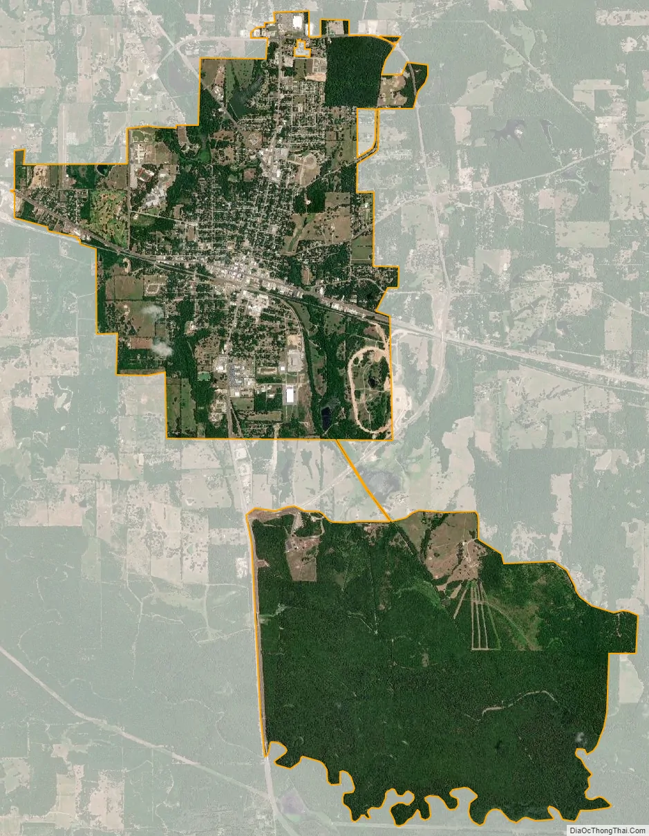
Mineola city Satellite Map
Geography
Mineola is located at 32°39′10.4″N 95°28′49.1″W / 32.652889°N 95.480306°W / 32.652889; -95.480306. According to the United States Census Bureau, the city has a total area of 10.339 sq mi (26.78 km), of which 10.161 sq mi (26.32 km) are land and 0.178 sq mi (0.46 km) is covered by water.
Climate
Mineola enjoys weather typical of East Texas, which is unpredictable, especially in the spring. Mineola’s humid subtropical climate is typical of the Southeast United States.
See also
Map of Texas State and its subdivision:- Anderson
- Andrews
- Angelina
- Aransas
- Archer
- Armstrong
- Atascosa
- Austin
- Bailey
- Bandera
- Bastrop
- Baylor
- Bee
- Bell
- Bexar
- Blanco
- Borden
- Bosque
- Bowie
- Brazoria
- Brazos
- Brewster
- Briscoe
- Brooks
- Brown
- Burleson
- Burnet
- Caldwell
- Calhoun
- Callahan
- Cameron
- Camp
- Carson
- Cass
- Castro
- Chambers
- Cherokee
- Childress
- Clay
- Cochran
- Coke
- Coleman
- Collin
- Collingsworth
- Colorado
- Comal
- Comanche
- Concho
- Cooke
- Coryell
- Cottle
- Crane
- Crockett
- Crosby
- Culberson
- Dallam
- Dallas
- Dawson
- Deaf Smith
- Delta
- Denton
- Dewitt
- Dickens
- Dimmit
- Donley
- Duval
- Eastland
- Ector
- Edwards
- El Paso
- Ellis
- Erath
- Falls
- Fannin
- Fayette
- Fisher
- Floyd
- Foard
- Fort Bend
- Franklin
- Freestone
- Frio
- Gaines
- Galveston
- Garza
- Gillespie
- Glasscock
- Goliad
- Gonzales
- Gray
- Grayson
- Gregg
- Grimes
- Guadalupe
- Hale
- Hall
- Hamilton
- Hansford
- Hardeman
- Hardin
- Harris
- Harrison
- Hartley
- Haskell
- Hays
- Hemphill
- Henderson
- Hidalgo
- Hill
- Hockley
- Hood
- Hopkins
- Houston
- Howard
- Hudspeth
- Hunt
- Hutchinson
- Irion
- Jack
- Jackson
- Jasper
- Jeff Davis
- Jefferson
- Jim Hogg
- Jim Wells
- Johnson
- Jones
- Karnes
- Kaufman
- Kendall
- Kenedy
- Kent
- Kerr
- Kimble
- King
- Kinney
- Kleberg
- Knox
- La Salle
- Lamar
- Lamb
- Lampasas
- Lavaca
- Lee
- Leon
- Liberty
- Limestone
- Lipscomb
- Live Oak
- Llano
- Loving
- Lubbock
- Lynn
- Madison
- Marion
- Martin
- Mason
- Matagorda
- Maverick
- McCulloch
- McLennan
- McMullen
- Medina
- Menard
- Midland
- Milam
- Mills
- Mitchell
- Montague
- Montgomery
- Moore
- Morris
- Motley
- Nacogdoches
- Navarro
- Newton
- Nolan
- Nueces
- Ochiltree
- Oldham
- Orange
- Palo Pinto
- Panola
- Parker
- Parmer
- Pecos
- Polk
- Potter
- Presidio
- Rains
- Randall
- Reagan
- Real
- Red River
- Reeves
- Refugio
- Roberts
- Robertson
- Rockwall
- Runnels
- Rusk
- Sabine
- San Augustine
- San Jacinto
- San Patricio
- San Saba
- Schleicher
- Scurry
- Shackelford
- Shelby
- Sherman
- Smith
- Somervell
- Starr
- Stephens
- Sterling
- Stonewall
- Sutton
- Swisher
- Tarrant
- Taylor
- Terrell
- Terry
- Throckmorton
- Titus
- Tom Green
- Travis
- Trinity
- Tyler
- Upshur
- Upton
- Uvalde
- Val Verde
- Van Zandt
- Victoria
- Walker
- Waller
- Ward
- Washington
- Webb
- Wharton
- Wheeler
- Wichita
- Wilbarger
- Willacy
- Williamson
- Wilson
- Winkler
- Wise
- Wood
- Yoakum
- Young
- Zapata
- Zavala
- Alabama
- Alaska
- Arizona
- Arkansas
- California
- Colorado
- Connecticut
- Delaware
- District of Columbia
- Florida
- Georgia
- Hawaii
- Idaho
- Illinois
- Indiana
- Iowa
- Kansas
- Kentucky
- Louisiana
- Maine
- Maryland
- Massachusetts
- Michigan
- Minnesota
- Mississippi
- Missouri
- Montana
- Nebraska
- Nevada
- New Hampshire
- New Jersey
- New Mexico
- New York
- North Carolina
- North Dakota
- Ohio
- Oklahoma
- Oregon
- Pennsylvania
- Rhode Island
- South Carolina
- South Dakota
- Tennessee
- Texas
- Utah
- Vermont
- Virginia
- Washington
- West Virginia
- Wisconsin
- Wyoming