Map of New Summerfield city
New Summerfield is a city in Cherokee County, Texas, United States. The population was 843 at the 2020 U.S. census. New Summerfield city overview: Name: New Summerfield city LSAD Code: 25 LSAD Description: city (suffix) State: Texas County: Cherokee County Elevation: 472 ft (144 m) Total Area: 4.70 sq mi (12.17 km²) Land Area: 4.70 sq mi (12.17 km²) Water Area: 0.00 sq mi (0.00 km²) ... Read more
Map of New Summerfield city
Map of New London city, Texas
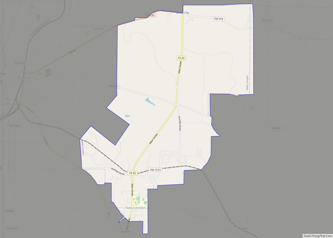
New London is a city in Rusk County, Texas, United States. The population was 958 at the 2020 census. New London was originally known as just “London”. Because Kimble County Texas had already established a US Post Office station named London, the town changed its name to “New London” in 1931. New London city overview: ... Read more
Map of New London city, Texas
Map of New Hope town, Texas
New Hope is a town in Collin County, Texas, United States. The population was 614 at the 2010 census. New Hope is a class B town and has an aldermanic form of government, under State of Texas general law. The mayor and five aldermen meet once a month on the last Tuesday of the month ... Read more
Map of New Hope town, Texas
Map of New Home city
New Home is a small city in Lynn County, Texas, United States. The population was 334 at the 2010 census. New Home city overview: Name: New Home city LSAD Code: 25 LSAD Description: city (suffix) State: Texas County: Lynn County Elevation: 3,238 ft (987 m) Total Area: 1.00 sq mi (2.59 km²) Land Area: 1.00 sq mi (2.59 km²) Water Area: 0.00 sq mi (0.00 km²) ... Read more
Map of New Home city
Map of New Falcon CDP
New Falcon is a census-designated place (CDP) in Zapata County, Texas, United States. The population was 191 at the 2010 census. New Falcon CDP overview: Name: New Falcon CDP LSAD Code: 57 LSAD Description: CDP (suffix) State: Texas County: Zapata County Elevation: 420 ft (128 m) Total Area: 0.2 sq mi (0.5 km²) Land Area: 0.2 sq mi (0.5 km²) Water Area: 0.0 sq mi ... Read more
Map of New Falcon CDP
Map of New Fairview city
New Fairview is a city in Wise County, Texas, United States. The population was 1,386 in 2020. Growing from a settlement called Illinois Community, the city was called Fairview until 1999, when it was changed to distinguish it from several other Fairviews in Texas. In order to maintain a quieter, more rural atmosphere, residential lots ... Read more
Map of New Fairview city
Map of Nocona city
Nocona is a city along U.S. Highway 82 and State Highway 175 in Montague County, Texas, United States. The population was 3,033 at the 2010 census. The city, its lake, and its resurgence as a regional travel destination were featured in the June 2012 edition of Texas Highways magazine. Nocona city overview: Name: Nocona city ... Read more
Map of Nocona city
Map of Nocona Hills CDP
Nocona Hills is an unincorporated community and census-designated place in Montague County, Texas, United States. Its population was 675 as of the 2010 census. Nocona Hills CDP overview: Name: Nocona Hills CDP LSAD Code: 57 LSAD Description: CDP (suffix) State: Texas County: Montague County Elevation: 909 ft (277 m) Total Area: 6.306 sq mi (16.33 km²) Land Area: 5.205 sq mi (13.48 km²) ... Read more
Map of Nocona Hills CDP
Map of Nixon city, Texas
Nixon is a city, self-described as a “compact neighborhood,” at U.S. Highway 87 and the junction of Karnes, Gonzales and Wilson counties; alongside the Clear Fork Creek in the Juan J. Tejada League, in the U.S. state of Texas. Approaching 100 city blocks, the Nixon urban-area is defined by its schools at its north-end in ... Read more
Map of Nixon city, Texas
Map of Nina CDP
Nina is a census-designated place (CDP) in Starr County, Texas, United States. This was a new CDP for the 2010 census with a population of 141. Nina CDP overview: Name: Nina CDP LSAD Code: 57 LSAD Description: CDP (suffix) State: Texas County: Starr County Total Area: 141 FIPS code: 4851552 Online Interactive Map Nina online ... Read more
Map of Nina CDP
Map of Niederwald city
Niederwald is a city in Caldwell and Hays counties in the U.S. state of Texas. The population was 565 at the 2010 census. Niederwald means “low forest”, or “low wood”, in German. It was named Niederwald by the German founders of the town. This region of Central Texas was settled in the 1800s primarily by ... Read more
Map of Niederwald city
Map of Neylandville town
Neylandville is a town in Hunt County, Texas, United States. The population was 97 at the 2010 census, up from 56 at the 2000 census. Neylandville town overview: Name: Neylandville town LSAD Code: 43 LSAD Description: town (suffix) State: Texas County: Hunt County Elevation: 535 ft (163 m) Total Area: 0.32 sq mi (0.82 km²) Land Area: 0.32 sq mi (0.82 km²) Water ... Read more
Map of Neylandville town