Newton is a city in and the county seat of Newton County, Texas, United States. The population was 1,633 at the 2020 census.
| Name: | Newton city |
|---|---|
| LSAD Code: | 25 |
| LSAD Description: | city (suffix) |
| State: | Texas |
| County: | Newton County |
| Elevation: | 194 ft (59 m) |
| Total Area: | 5.46 sq mi (14.13 km²) |
| Land Area: | 5.45 sq mi (14.10 km²) |
| Water Area: | 0.01 sq mi (0.03 km²) |
| Total Population: | 1,633 |
| Population Density: | 435.26/sq mi (168.06/km²) |
| ZIP code: | 75966 |
| Area code: | 409 |
| FIPS code: | 4851372 |
| GNISfeature ID: | 1363859 |
| Website: | www.newtontexas.org |
Online Interactive Map
Click on ![]() to view map in "full screen" mode.
to view map in "full screen" mode.
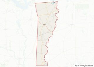
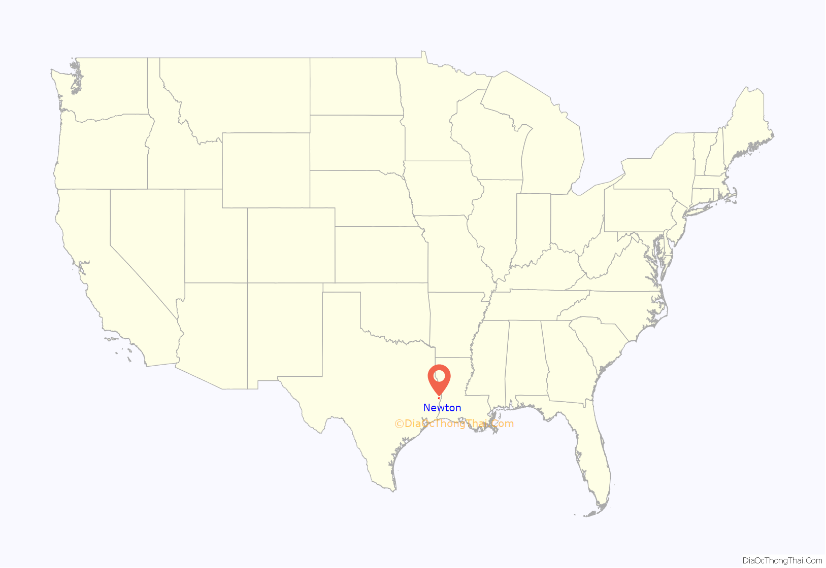
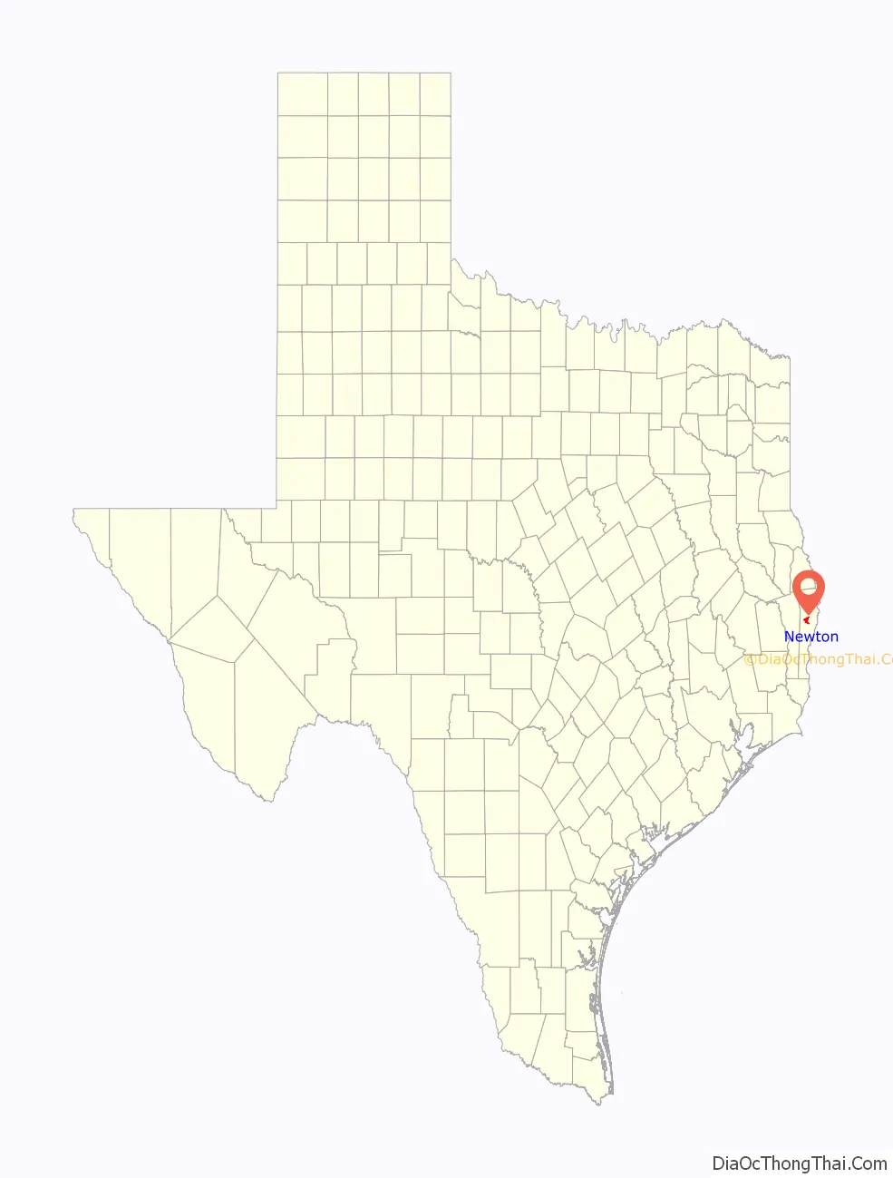
Newton location map. Where is Newton city?
History
Both Newton County and its county seat, Newton, were named after John Newton, a supposed hero of the American Revolutionary War. However, John Newton’s heroics are said to be a product of Parson Weems, who also fictionalized the story of George Washington and the cherry tree. In 1853, disputes led to the building of a courthouse and town in the county’s geographical center instead of in Burkeville, a community 11 miles north northeast of Newton. A second courthouse in Newton, a Second Empire style structure, was built in 1902–1903 with bricks from nearby Caney Creek, according to a Texas Historical Commission marker. The town was incorporated in 1935 and remains the only incorporated city in the county. The town’s public school began when the W.H. Ford Male and Female College was chartered in 1889. The site of the college later became the Powell Hotel and now serves as a museum and houses the city’s chamber of commerce. The growth of the city during the first half of the 20th century was largely due to the dominant timber industry in East Texas. The town had at least one newspaper prior to 1920s.
The county courthouse, a focal point of a city square that featured extensive Christmas lighting in the early 1990s, was severely damaged by a fire in August 2000. Various funding and other problems pushed back the timeframe for the restoration of the interior for years. The historic building finally reopened in December 2012.
Although almost 80 miles from the Gulf of Mexico, Newton suffered extensive damage in September 2005 from Hurricane Rita. The National Weather Service estimated wind gusts in the vicinity of Newton to be between 80 mph to 100 mph. Some residents were without electricity for one month.
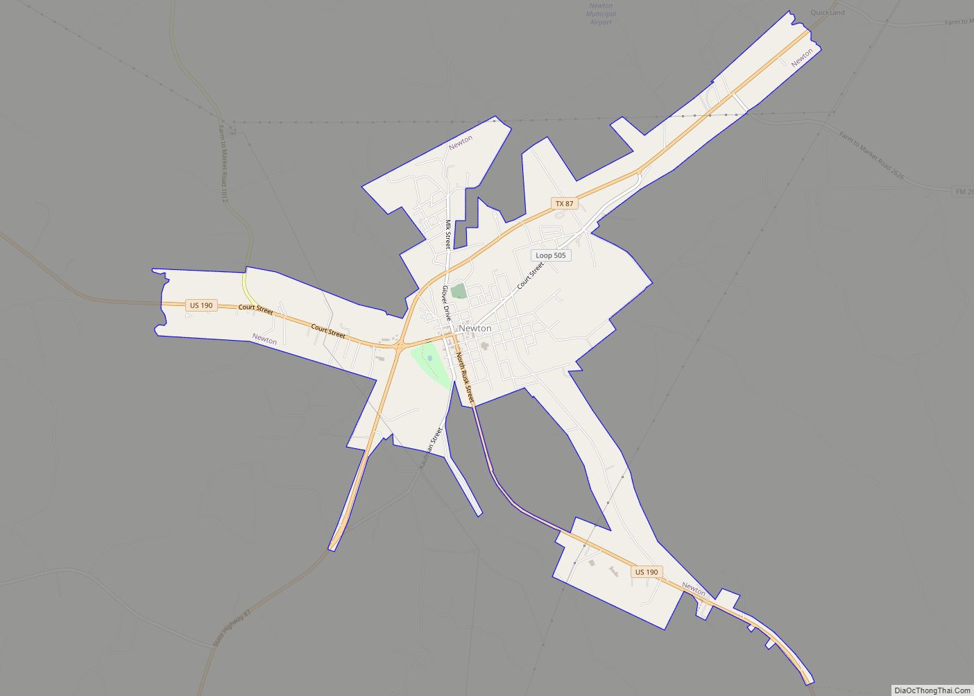
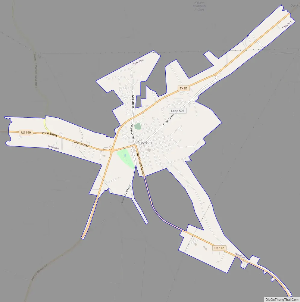
Newton Road Map
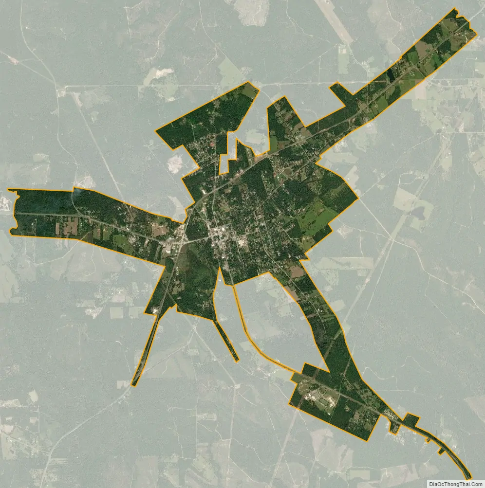
Newton city Satellite Map
Geography
Newton is located at 30°51′1″N 93°45′15″W / 30.85028°N 93.75417°W / 30.85028; -93.75417 (30.850397, –93.754149).
According to the United States Census Bureau, the city has a total area of 5.5 square miles (14 km), of which, 5.5 square miles (14 km) of it is land and 0.18% is water.
See also
Map of Texas State and its subdivision:- Anderson
- Andrews
- Angelina
- Aransas
- Archer
- Armstrong
- Atascosa
- Austin
- Bailey
- Bandera
- Bastrop
- Baylor
- Bee
- Bell
- Bexar
- Blanco
- Borden
- Bosque
- Bowie
- Brazoria
- Brazos
- Brewster
- Briscoe
- Brooks
- Brown
- Burleson
- Burnet
- Caldwell
- Calhoun
- Callahan
- Cameron
- Camp
- Carson
- Cass
- Castro
- Chambers
- Cherokee
- Childress
- Clay
- Cochran
- Coke
- Coleman
- Collin
- Collingsworth
- Colorado
- Comal
- Comanche
- Concho
- Cooke
- Coryell
- Cottle
- Crane
- Crockett
- Crosby
- Culberson
- Dallam
- Dallas
- Dawson
- Deaf Smith
- Delta
- Denton
- Dewitt
- Dickens
- Dimmit
- Donley
- Duval
- Eastland
- Ector
- Edwards
- El Paso
- Ellis
- Erath
- Falls
- Fannin
- Fayette
- Fisher
- Floyd
- Foard
- Fort Bend
- Franklin
- Freestone
- Frio
- Gaines
- Galveston
- Garza
- Gillespie
- Glasscock
- Goliad
- Gonzales
- Gray
- Grayson
- Gregg
- Grimes
- Guadalupe
- Hale
- Hall
- Hamilton
- Hansford
- Hardeman
- Hardin
- Harris
- Harrison
- Hartley
- Haskell
- Hays
- Hemphill
- Henderson
- Hidalgo
- Hill
- Hockley
- Hood
- Hopkins
- Houston
- Howard
- Hudspeth
- Hunt
- Hutchinson
- Irion
- Jack
- Jackson
- Jasper
- Jeff Davis
- Jefferson
- Jim Hogg
- Jim Wells
- Johnson
- Jones
- Karnes
- Kaufman
- Kendall
- Kenedy
- Kent
- Kerr
- Kimble
- King
- Kinney
- Kleberg
- Knox
- La Salle
- Lamar
- Lamb
- Lampasas
- Lavaca
- Lee
- Leon
- Liberty
- Limestone
- Lipscomb
- Live Oak
- Llano
- Loving
- Lubbock
- Lynn
- Madison
- Marion
- Martin
- Mason
- Matagorda
- Maverick
- McCulloch
- McLennan
- McMullen
- Medina
- Menard
- Midland
- Milam
- Mills
- Mitchell
- Montague
- Montgomery
- Moore
- Morris
- Motley
- Nacogdoches
- Navarro
- Newton
- Nolan
- Nueces
- Ochiltree
- Oldham
- Orange
- Palo Pinto
- Panola
- Parker
- Parmer
- Pecos
- Polk
- Potter
- Presidio
- Rains
- Randall
- Reagan
- Real
- Red River
- Reeves
- Refugio
- Roberts
- Robertson
- Rockwall
- Runnels
- Rusk
- Sabine
- San Augustine
- San Jacinto
- San Patricio
- San Saba
- Schleicher
- Scurry
- Shackelford
- Shelby
- Sherman
- Smith
- Somervell
- Starr
- Stephens
- Sterling
- Stonewall
- Sutton
- Swisher
- Tarrant
- Taylor
- Terrell
- Terry
- Throckmorton
- Titus
- Tom Green
- Travis
- Trinity
- Tyler
- Upshur
- Upton
- Uvalde
- Val Verde
- Van Zandt
- Victoria
- Walker
- Waller
- Ward
- Washington
- Webb
- Wharton
- Wheeler
- Wichita
- Wilbarger
- Willacy
- Williamson
- Wilson
- Winkler
- Wise
- Wood
- Yoakum
- Young
- Zapata
- Zavala
- Alabama
- Alaska
- Arizona
- Arkansas
- California
- Colorado
- Connecticut
- Delaware
- District of Columbia
- Florida
- Georgia
- Hawaii
- Idaho
- Illinois
- Indiana
- Iowa
- Kansas
- Kentucky
- Louisiana
- Maine
- Maryland
- Massachusetts
- Michigan
- Minnesota
- Mississippi
- Missouri
- Montana
- Nebraska
- Nevada
- New Hampshire
- New Jersey
- New Mexico
- New York
- North Carolina
- North Dakota
- Ohio
- Oklahoma
- Oregon
- Pennsylvania
- Rhode Island
- South Carolina
- South Dakota
- Tennessee
- Texas
- Utah
- Vermont
- Virginia
- Washington
- West Virginia
- Wisconsin
- Wyoming