Nolanville is a city in Bell County, Texas, United States. The population was 5,917 at the 2020 census. It is part of the Killeen–Temple–Fort Hood Metropolitan Statistical Area.
| Name: | Nolanville city |
|---|---|
| LSAD Code: | 25 |
| LSAD Description: | city (suffix) |
| State: | Texas |
| County: | Bell County |
| Elevation: | 709 ft (216 m) |
| Total Area: | 4.27 sq mi (11.06 km²) |
| Land Area: | 4.25 sq mi (11.00 km²) |
| Water Area: | 0.02 sq mi (0.06 km²) |
| Total Population: | 5,917 |
| Population Density: | 1,383.62/sq mi (534.23/km²) |
| ZIP code: | 76559 |
| Area code: | 254 |
| FIPS code: | 4851708 |
| GNISfeature ID: | 1363958 |
| Website: | ci.nolanville.tx.us |
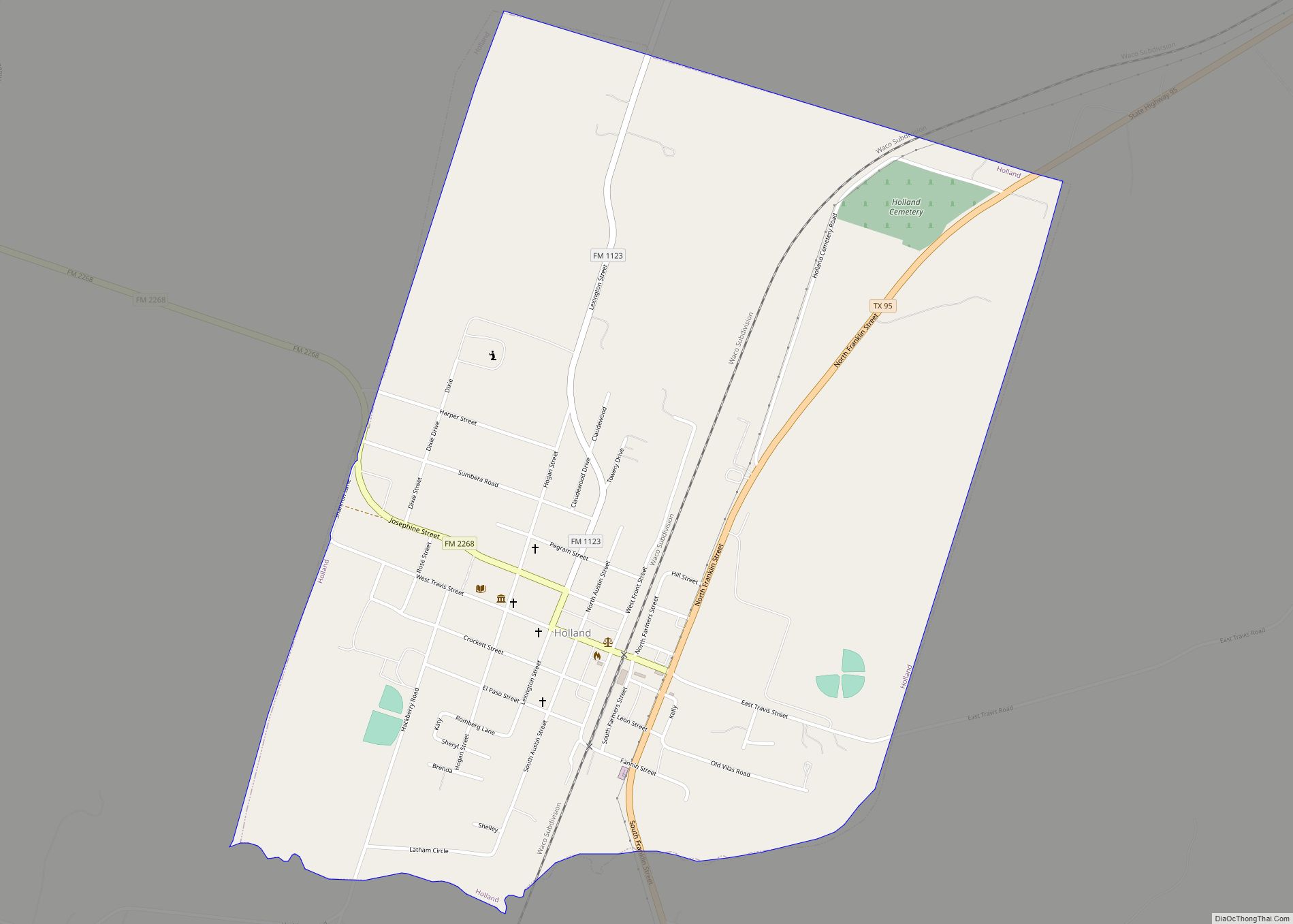
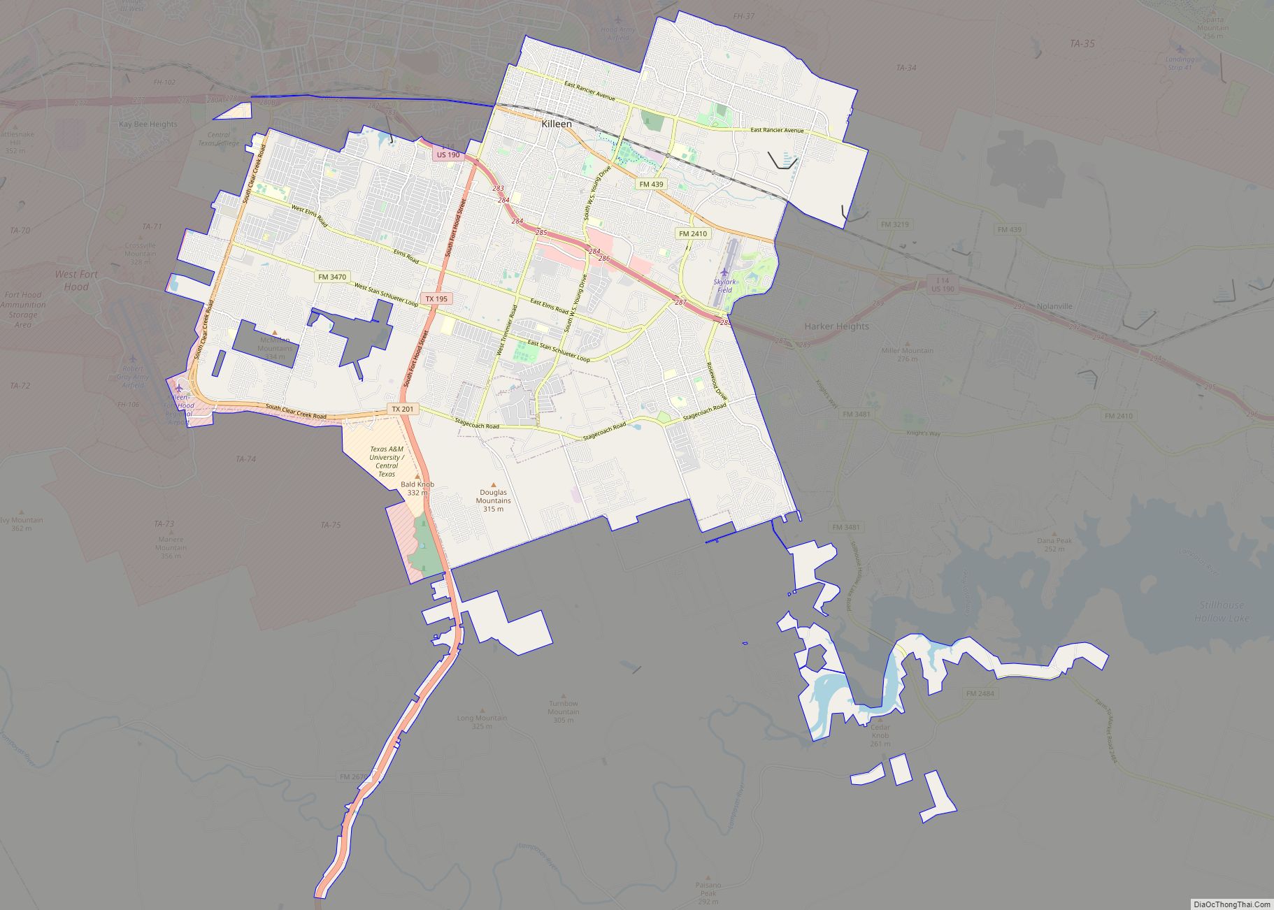
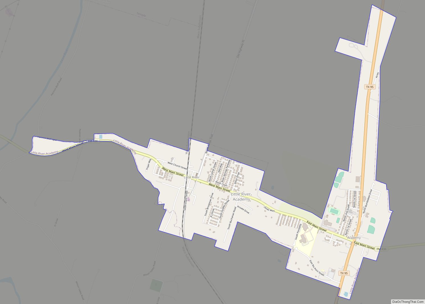
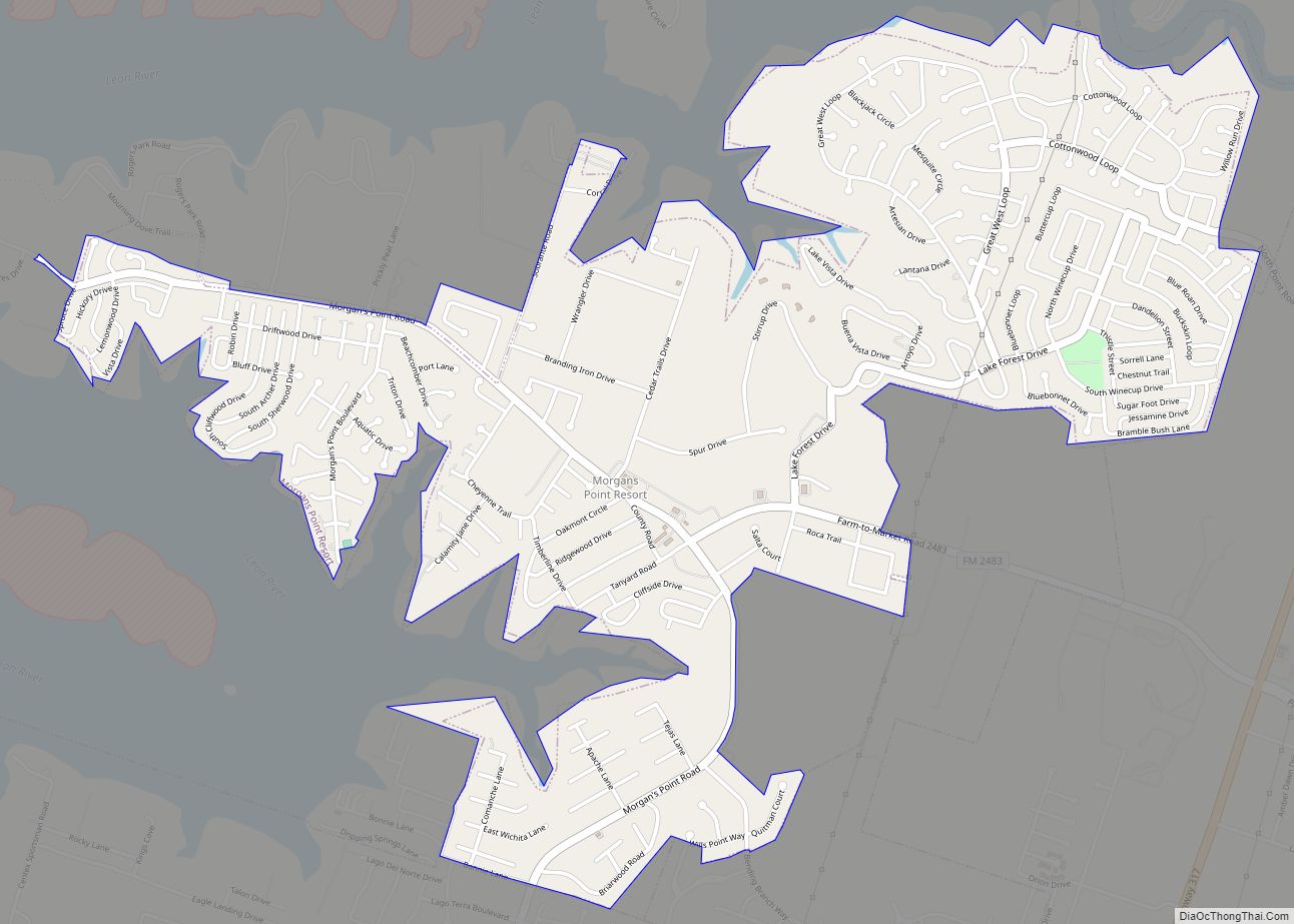
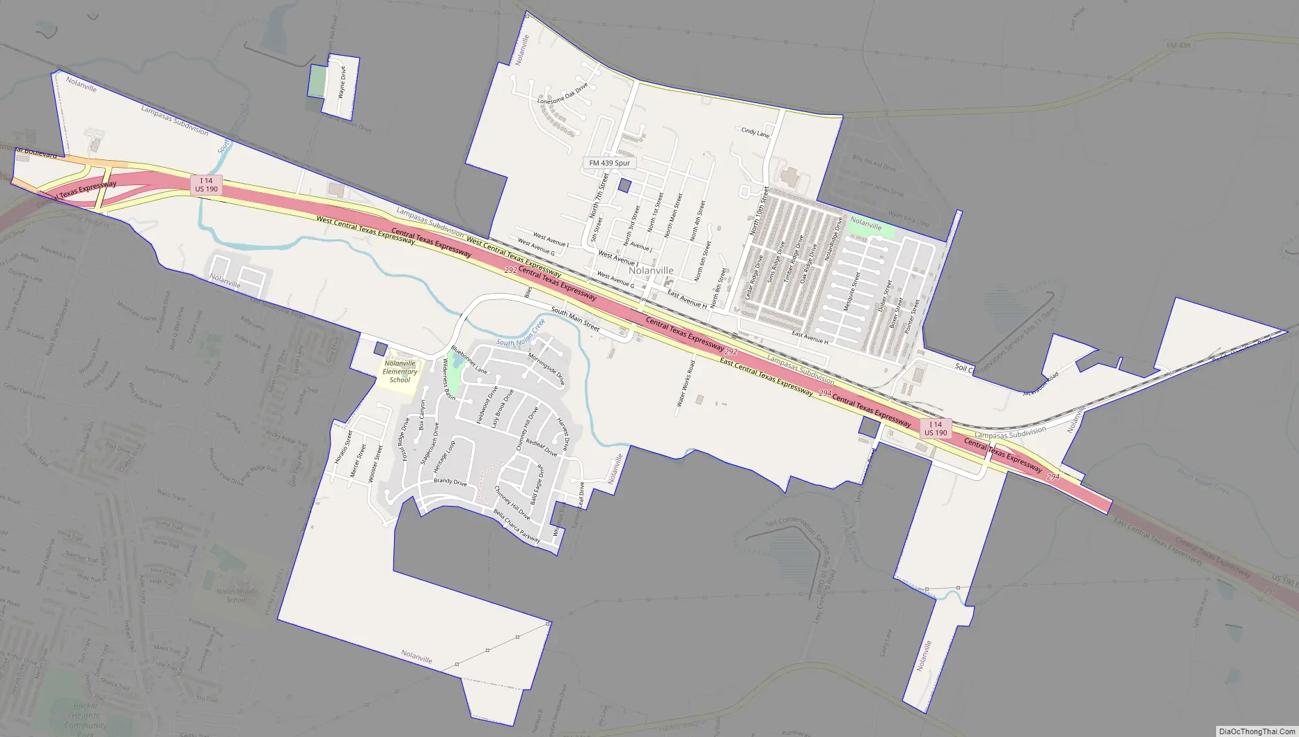
Online Interactive Map
Click on ![]() to view map in "full screen" mode.
to view map in "full screen" mode.
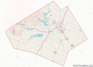
Nolanville location map. Where is Nolanville city?


History
Nolanville reached its peak as a town between 1890 and 1900, when it went into a holding pattern. A weekly newspaper, the Item, was started by 1896. The first telephone service in Nolanville was started, using barbed wire for lines. Two lines were used, a south and a north, with Nolan Creek serving as the dividing line. Nolanville School, one of the larger rural schools in the county in the early 20th century, had 90 pupils in 1903. The first automobile appeared between 1900 and 1910. The automobile caused Nolanville businesses to decline because it made the trip to Belton or Killeen so much easier.
In 1921, a new two-story brick school was built, and in 1938, the original part of the present school plant was built. By the mid-1940s, the community had 150 to 200 residents, but began to decline after the end of World War II. After dropping to 50 inhabitants in the 1950s, the town began to revive in the 1960s and had 200 residents and six businesses when it incorporated on March 27, 1961. By the late 1960s Nolanville was caught up in the expansion of the Killeen-Fort Hood area, and, as a suburban community, its population rose to 740 in 1968. Nolanville was featured in a 1970s 60 Minutes episode, which exposed creative law enforcement practices.
Nolanville Common School District #50 ceased to exist in the spring of 1972, when it was annexed to the Killeen Independent School District by the Bell County Board of School Trustees. This action was requested by the Nolanville Board of School Trustees. The Nolanville Common School District was one of only three remaining common school districts in Bell County at that time. It was also uncommon for a school to consolidate because its enrollment and academic needs were greater than its capacity rather than because enrollment had dropped.
By 1974, Nolanville’s population was 1,050. It had grown to 1,834 in 1990 and 2,150 in 2000, then jumped to 4,259 as of the 2010 census.
The city became home rule in the 2011 election. The city motto is “A Great Place to Live.” Demographics suggest a high number of youth live in the city. Nolanville is a common starting point for endurance bicycling and running. Special events include the Annual Fox Trot 5K and Train Whistle Jamboree.
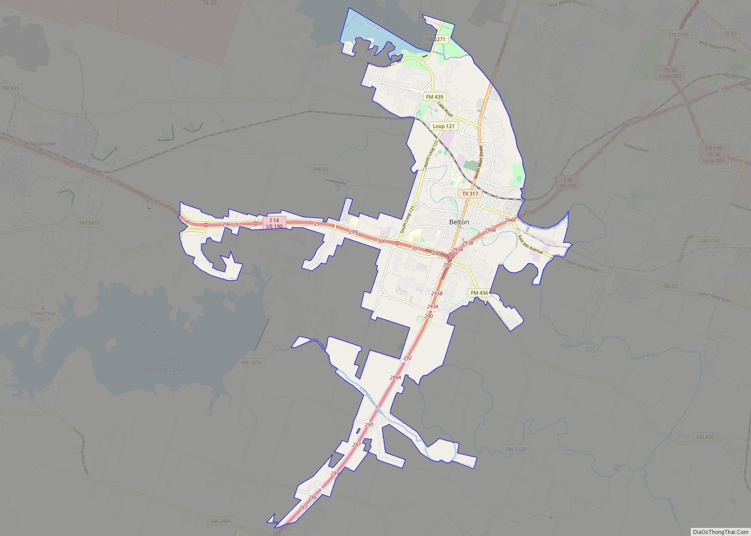
Nolanville Road Map
Nolanville city Satellite Map

Geography
Nolanville is located in west-central Bell County at 31°4′44″N 97°36′30″W / 31.07889°N 97.60833°W / 31.07889; -97.60833 (31.079004, –97.608278). It is bordered by the city of Harker Heights on the south and west. Interstate 14/U.S. Highway 190, a four-lane freeway, passes through Nolanville, leading east 8 miles (13 km) to Interstate 35 in Belton and west 13 miles (21 km) to the entrance to Fort Hood at the western edge of Killeen.
According to the United States Census Bureau, the city of Nolanville has a total area of 3.5 square miles (9.0 km), of which 0.019 square miles (0.05 km), or 0.51%, is covered by water.
Climate
The climate in this area is characterized by hot, humid summers and generally mild to cool winters. According to the Köppen climate classification system, Nolanville is in the Cfa climate group (humid subtropical climate) on climate maps.
See also
Map of Texas State and its subdivision:- Anderson
- Andrews
- Angelina
- Aransas
- Archer
- Armstrong
- Atascosa
- Austin
- Bailey
- Bandera
- Bastrop
- Baylor
- Bee
- Bell
- Bexar
- Blanco
- Borden
- Bosque
- Bowie
- Brazoria
- Brazos
- Brewster
- Briscoe
- Brooks
- Brown
- Burleson
- Burnet
- Caldwell
- Calhoun
- Callahan
- Cameron
- Camp
- Carson
- Cass
- Castro
- Chambers
- Cherokee
- Childress
- Clay
- Cochran
- Coke
- Coleman
- Collin
- Collingsworth
- Colorado
- Comal
- Comanche
- Concho
- Cooke
- Coryell
- Cottle
- Crane
- Crockett
- Crosby
- Culberson
- Dallam
- Dallas
- Dawson
- Deaf Smith
- Delta
- Denton
- Dewitt
- Dickens
- Dimmit
- Donley
- Duval
- Eastland
- Ector
- Edwards
- El Paso
- Ellis
- Erath
- Falls
- Fannin
- Fayette
- Fisher
- Floyd
- Foard
- Fort Bend
- Franklin
- Freestone
- Frio
- Gaines
- Galveston
- Garza
- Gillespie
- Glasscock
- Goliad
- Gonzales
- Gray
- Grayson
- Gregg
- Grimes
- Guadalupe
- Hale
- Hall
- Hamilton
- Hansford
- Hardeman
- Hardin
- Harris
- Harrison
- Hartley
- Haskell
- Hays
- Hemphill
- Henderson
- Hidalgo
- Hill
- Hockley
- Hood
- Hopkins
- Houston
- Howard
- Hudspeth
- Hunt
- Hutchinson
- Irion
- Jack
- Jackson
- Jasper
- Jeff Davis
- Jefferson
- Jim Hogg
- Jim Wells
- Johnson
- Jones
- Karnes
- Kaufman
- Kendall
- Kenedy
- Kent
- Kerr
- Kimble
- King
- Kinney
- Kleberg
- Knox
- La Salle
- Lamar
- Lamb
- Lampasas
- Lavaca
- Lee
- Leon
- Liberty
- Limestone
- Lipscomb
- Live Oak
- Llano
- Loving
- Lubbock
- Lynn
- Madison
- Marion
- Martin
- Mason
- Matagorda
- Maverick
- McCulloch
- McLennan
- McMullen
- Medina
- Menard
- Midland
- Milam
- Mills
- Mitchell
- Montague
- Montgomery
- Moore
- Morris
- Motley
- Nacogdoches
- Navarro
- Newton
- Nolan
- Nueces
- Ochiltree
- Oldham
- Orange
- Palo Pinto
- Panola
- Parker
- Parmer
- Pecos
- Polk
- Potter
- Presidio
- Rains
- Randall
- Reagan
- Real
- Red River
- Reeves
- Refugio
- Roberts
- Robertson
- Rockwall
- Runnels
- Rusk
- Sabine
- San Augustine
- San Jacinto
- San Patricio
- San Saba
- Schleicher
- Scurry
- Shackelford
- Shelby
- Sherman
- Smith
- Somervell
- Starr
- Stephens
- Sterling
- Stonewall
- Sutton
- Swisher
- Tarrant
- Taylor
- Terrell
- Terry
- Throckmorton
- Titus
- Tom Green
- Travis
- Trinity
- Tyler
- Upshur
- Upton
- Uvalde
- Val Verde
- Van Zandt
- Victoria
- Walker
- Waller
- Ward
- Washington
- Webb
- Wharton
- Wheeler
- Wichita
- Wilbarger
- Willacy
- Williamson
- Wilson
- Winkler
- Wise
- Wood
- Yoakum
- Young
- Zapata
- Zavala
- Alabama
- Alaska
- Arizona
- Arkansas
- California
- Colorado
- Connecticut
- Delaware
- District of Columbia
- Florida
- Georgia
- Hawaii
- Idaho
- Illinois
- Indiana
- Iowa
- Kansas
- Kentucky
- Louisiana
- Maine
- Maryland
- Massachusetts
- Michigan
- Minnesota
- Mississippi
- Missouri
- Montana
- Nebraska
- Nevada
- New Hampshire
- New Jersey
- New Mexico
- New York
- North Carolina
- North Dakota
- Ohio
- Oklahoma
- Oregon
- Pennsylvania
- Rhode Island
- South Carolina
- South Dakota
- Tennessee
- Texas
- Utah
- Vermont
- Virginia
- Washington
- West Virginia
- Wisconsin
- Wyoming