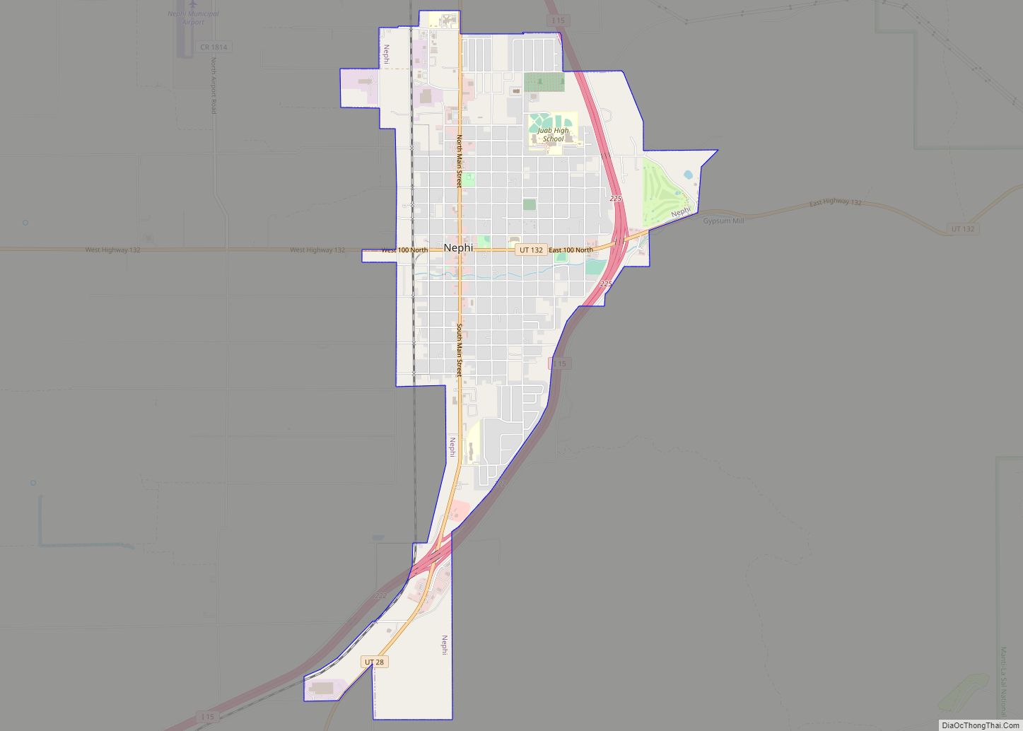
Map of Junction town, Utah

Map of Junction town, Utah

Junction is a town in and the county seat of Piute County, Utah, United States. The population was 191 at the 2010 census. Junction town overview: Name: Junction town LSAD Code: 43 LSAD Description: town (suffix) State: Utah County: Piute County Incorporated: April 7, 1913 Elevation: 6,007 ft (1,831 m) Total Area: 13.65 sq mi (35.35 km²) Land Area: 13.19 sq mi … Read more

Map of Joseph town, Utah

Map of Joseph town, Utah

Joseph is a town in Sevier County, Utah, United States. The population was 269 at the 2000 census. The town was named for Joseph Angell Young, an apostle of the Church of Jesus Christ of Latter-day Saints. Joseph was settled in 1871. Joseph town overview: Name: Joseph town LSAD Code: 43 LSAD Description: town (suffix) … Read more

Map of Jensen CDP

Map of Jensen CDP

Jensen is a census-designated place in eastern Uintah County, Utah, United States. The population was 412 at the 2010 census. It lies along the Green River and U.S. Route 40, southeast of the city of Vernal, the county seat of Uintah County, and about 17 miles west of the Colorado border. Although Jensen is unincorporated, … Read more

Map of Ivins city

Map of Ivins city

Ivins (/ˈaɪvɪnz/ EYE-vinz) is a city in southwestern Washington County, Utah, United States. It is a part of the St. George Metropolitan Area as a suburb or “bedroom” community. The population was 8,978 at the 2020 census, up from 6,753 at the 2010 census. Although Ivins was listed as a town in the 2000 census, … Read more

Map of Lake Shore CDP, Utah

Map of Lake Shore CDP, Utah

Lake Shore is a census-designated place (CDP) in Utah County, Utah, United States. It is part of the Provo–Orem Metropolitan Statistical Area. The population was 817 at the 2010 census. Lake Shore CDP overview: Name: Lake Shore CDP LSAD Code: 57 LSAD Description: CDP (suffix) State: Utah County: Utah County Elevation: 4,521 ft (1,378 m) Total Area: … Read more

Map of La Verkin city

Map of La Verkin city

La Verkin is a city in Washington County, Utah, United States. The population was 4,060 as of 2010, an increase from 3,392 in 2000. La Verkin is within walking distance of Hurricane, and the two cities have historically had close ties. Theories about the origin of the city’s name suggest that it may be a … Read more

Map of La Sal CDP

Map of La Sal CDP

La Sal is a census-designated place (CDP) in northeastern San Juan County, Utah, United States. The population was 339 at the 2000 census. The name comes from the La Sal Mountains which means in Spanish “The Salt”. The area is known for its uranium resources. La Sal CDP overview: Name: La Sal CDP LSAD Code: … Read more

Map of Koosharem town

Map of Koosharem town

Koosharem is a town in Sevier County, Utah, United States. Koosharem is also known as “Grass Valley”. It generally comprises the area known as Burrville, Utah on the north, south through the valley and through the town of Koosharem and down to the south end with the town of Greenwich, Utah. The valley is made … Read more

Map of Kingston town, Utah

Map of Kingston town, Utah

Kingston is a town in Piute County, Utah, United States. The population was 135 at the 2020 census. Kingston town overview: Name: Kingston town LSAD Code: 43 LSAD Description: town (suffix) State: Utah County: Piute County Incorporated: 1935 Elevation: 6,017 ft (1,834 m) Total Area: 5.40 sq mi (13.99 km²) Land Area: 5.40 sq mi (13.99 km²) Water Area: 0.00 sq mi (0.00 km²) Total Population: … Read more

Map of Kenilworth CDP, Utah

Map of Kenilworth CDP, Utah

Kenilworth is a census-designated place in northern Carbon County, Utah, United States. Kenilworth CDP overview: Name: Kenilworth CDP LSAD Code: 57 LSAD Description: CDP (suffix) State: Utah County: Carbon County Founded: 1908 Elevation: 6,316 ft (1,925 m) Total Area: 0.75 sq mi (1.95 km²) Land Area: 0.75 sq mi (1.95 km²) Water Area: 0.0 sq mi (0.0 km²) Total Population: 180 Population Density: 239/sq mi (92.4/km²) FIPS … Read more

Map of Kearns metro township

Map of Kearns metro township

Kearns (/kɜːrnz/ kurnz) is a metro township in Salt Lake County, Utah, United States. Named after Utah’s U.S. Senator Thomas Kearns, it had a population of 36,723 at the 2020 Census. This was a 2.8 percent increase over the 2010 figure of 35,731. Kearns is home to the Utah Olympic Oval, an indoor speed skating … Read more

Map of Kaysville city

Map of Kaysville city

Kaysville is a city in Davis County, Utah. It is part of the Ogden–Clearfield metropolitan area. The population was 27,300 at the time of the 2010 census, with an estimated population of 32,390 in 2019. Kaysville city overview: Name: Kaysville city LSAD Code: 25 LSAD Description: city (suffix) State: Utah County: Davis County Elevation: 4,357 ft … Read more