Orderville is a town in western Kane County, Utah, United States. The population was 577 at the 2010 census. The town was founded and operated under the United Order of the Church of Jesus Christ of Latter-day Saints. This system allowed the community to flourish for some time, but ultimately ended in 1885.
| Name: | Orderville town |
|---|---|
| LSAD Code: | 43 |
| LSAD Description: | town (suffix) |
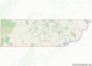
| State: | Utah |
| County: | Kane County |
| Founded: | 1875 |
| Incorporated: | 1934 |
| Elevation: | 5,449 ft (1,661 m) |
| Total Area: | 8.72 sq mi (22.58 km²) |
| Land Area: | 8.72 sq mi (22.58 km²) |
| Water Area: | 0.00 sq mi (0.00 km²) |
| Total Population: | 577 |
| Population Density: | 67.91/sq mi (26.22/km²) |
| ZIP code: | 84758 |
| Area code: | 435 |
| FIPS code: | 4957080 |
| GNISfeature ID: | 1431023 |
| Website: | www.townoforderville.com |
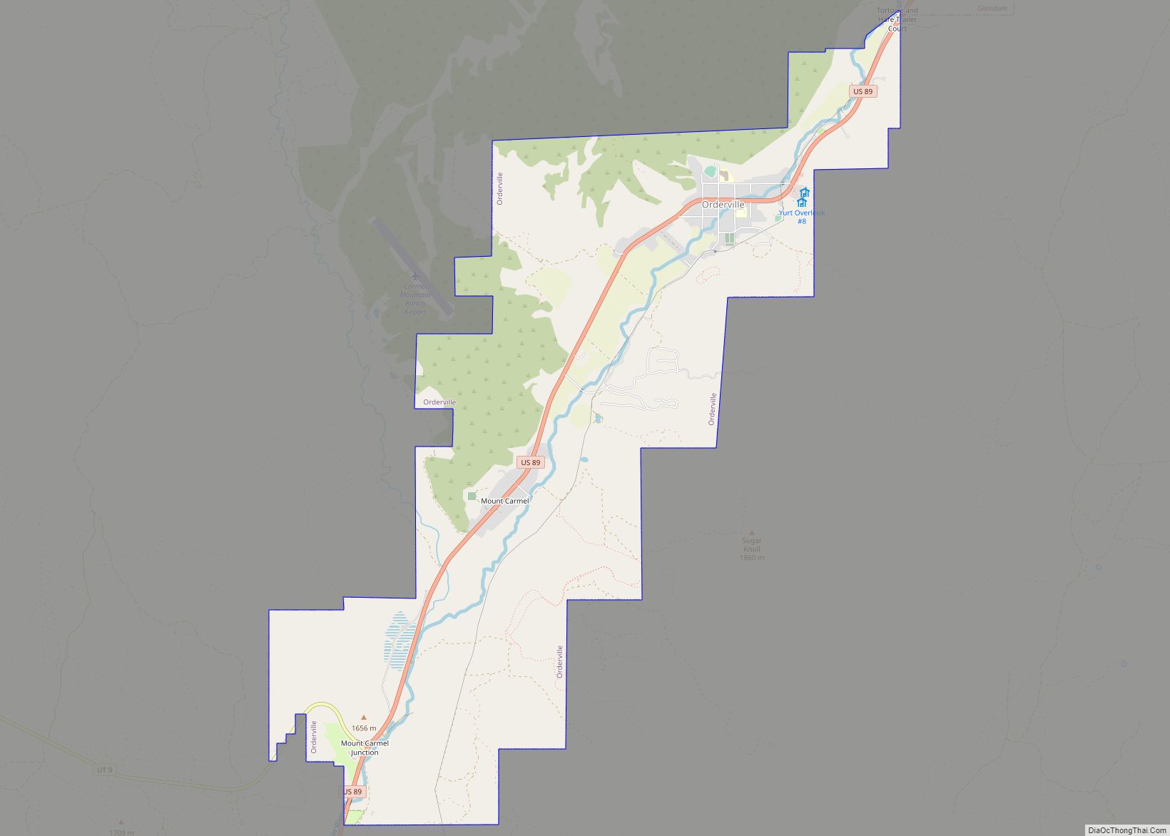
Online Interactive Map
Click on ![]() to view map in "full screen" mode.
to view map in "full screen" mode.
Orderville location map. Where is Orderville town?


History
Distribution of goods and services
Orderville was established at the direction of LDS Church president Brigham Young in 1875 specifically to live the United Order, a voluntary form of communal living defined by Joseph Smith. Orderville was settled primarily by destitute refugees from failed settlements on the Muddy River in Nevada. When it was settled, Orderville included 335 acres (136 ha) of land and contained 18 houses, 19 oxen, 103 cows, 43 horses, 500 sheep, 30 hogs, 400 chickens, and 30,000 feet of lumber. The settlement began completely debt free.
Homes were one- or two-room apartment units arranged around the town square. Community dining halls and public buildings were constructed. The dining hall began operation for the town on July 24, 1875, and prepared meals for more than 80 families. Men ate first, followed by women and children. Meal times were scheduled at 7 am, 12 pm, and 6 pm.
Under the United Order, no person in Orderville could have private property, as it was all considered to be God’s land. Each person was made a steward over some personal effects, and every family a steward over a home. During the first two years, the settlers worked without receiving income. They were allowed to use supplies and take food as needed. The bishop of Orderville oversaw the distribution of goods. Credits were recorded for all work done by men, women, and children and used to obtain needed materials and keep track of the labor done in the settlement. In 1877, the Order began a price system to replace the credit system, and monetary values were assigned to all labor and goods. At the beginning of each year, debts were forgiven, and those who had earned a surplus voluntarily gave it back to the Order.
The settlers there grew their own crops in Orderville and had some small farms surrounding the settlement. They also used local materials to make their own soap, brooms, buckets, furniture, etc. Orderville settlers produced silk thread and wove it into articles of clothing. They later opened up their own tannery. Orderville had blacksmiths, clerks, artists, musicians, and other professions. Priddy Meeks came to Orderville to serve as the settlement’s doctor in 1876. Ten percent of the net increase of Orderville was paid to the Church of Jesus Christ of Latter-day Saints to follow the law of tithing.
Management
The group was managed by an annually-elected Board of Management consisting of nine men who bought and sold goods on behalf of the entire settlement. They also directed labor performed by the settlers. The president was the bishop, and the vice presidents were usually his counselors. Thus, there was a very close connection between spiritual and secular. Orderville was divided into 33 departments, and each year members of the board met with the department directors to determine what the needs were and how many workers would be proportioned to the department.
In order for new members to join, the entire community had to vote. A new member was welcomed into Orderville only if the admission vote was a two-thirds majority. All newcomers were interviewed to determine their motives for wanting to join the society. They were also asked a number of questions regarding their moral and spiritual habits. New members had to agree to follow the strict standards and conditions of the settlement, including no swearing and giving up tobacco, tea, and coffee. Brigham Young cautioned against “allowing those whom might become parasites on the body from becoming members.” When members wanted to leave, they were given back the capital they had initially invested along with their surplus credits for that year. If the members leaving had debts, they were usually forgiven.
Success
Although the United Order was practiced in many Utah communities during the late 1870s, Orderville was unique in both the level of success it experienced under the communal living style, and in the duration of the experiment. In the course of a few years, Orderville grew into a thriving, self-sufficient community. The success and relative wealth of the community attracted more settlers, and Orderville grew to about 700 people. Orderville not only provided for the needs of its population, but produced a significant surplus for sale to other communities, which was used to purchase additional land and equipment. The extreme poverty of these settlers likely contributed significantly to their devotion to the principles of the United Order.
End of the Order
The Order continued in Orderville for approximately 10 years. During the early 1870s, the economic environment improved in southern Utah. The discovery of silver nearby led to railroad facilities and an influx of people to the area. Local farmers were able to find a market for their goods and gained more profit. The neighboring towns that had once bought the goods from Orderville, now found themselves able to import materials from other regions. Orderville goods became “old fashioned”. The youth of Orderville envied the youth in other communities, creating a friction within the community. Due to this friction, the communal dining system was abandoned in 1880. Three years later the value system assigned to labor was adjusted, introducing a level of inequality that had not existed before. Families were also given their own spending money. These changes led to tension and much internal disruption of the Order. While these internal conflicts and changes eventually would have led to the end of the practice of the United Order in Orderville, national legislation ensured it. In 1885, the enforcement of the Edmunds Anti-Polygamy Act of 1882 effectively ended the Order by jailing many of the Order’s leaders and driving many of the others underground. Members of the community held an auction using their credits as payment. Orderville continued its tannery, wool factory, and sheep enterprise, which were overseen by the Board of Management until 1889.
Orderville Road Map
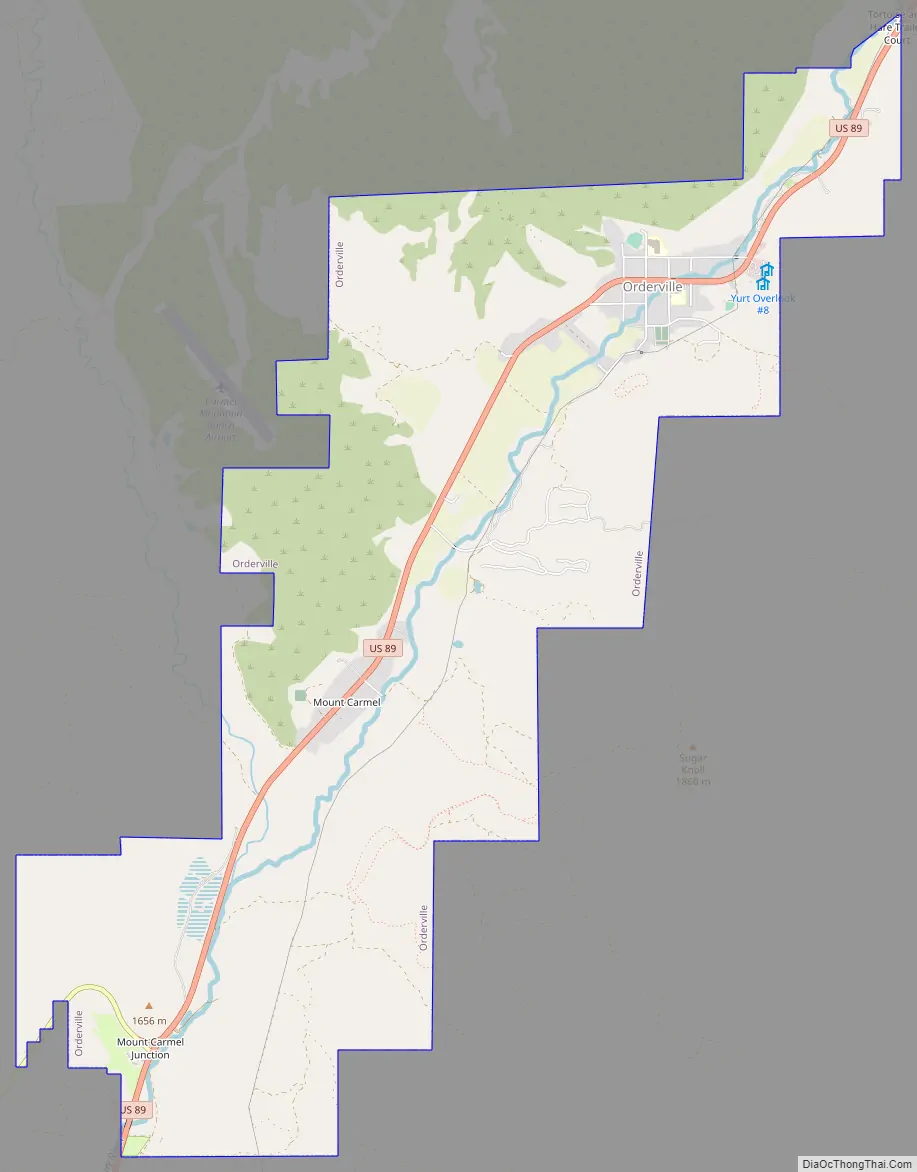
Orderville city Satellite Map
Geography
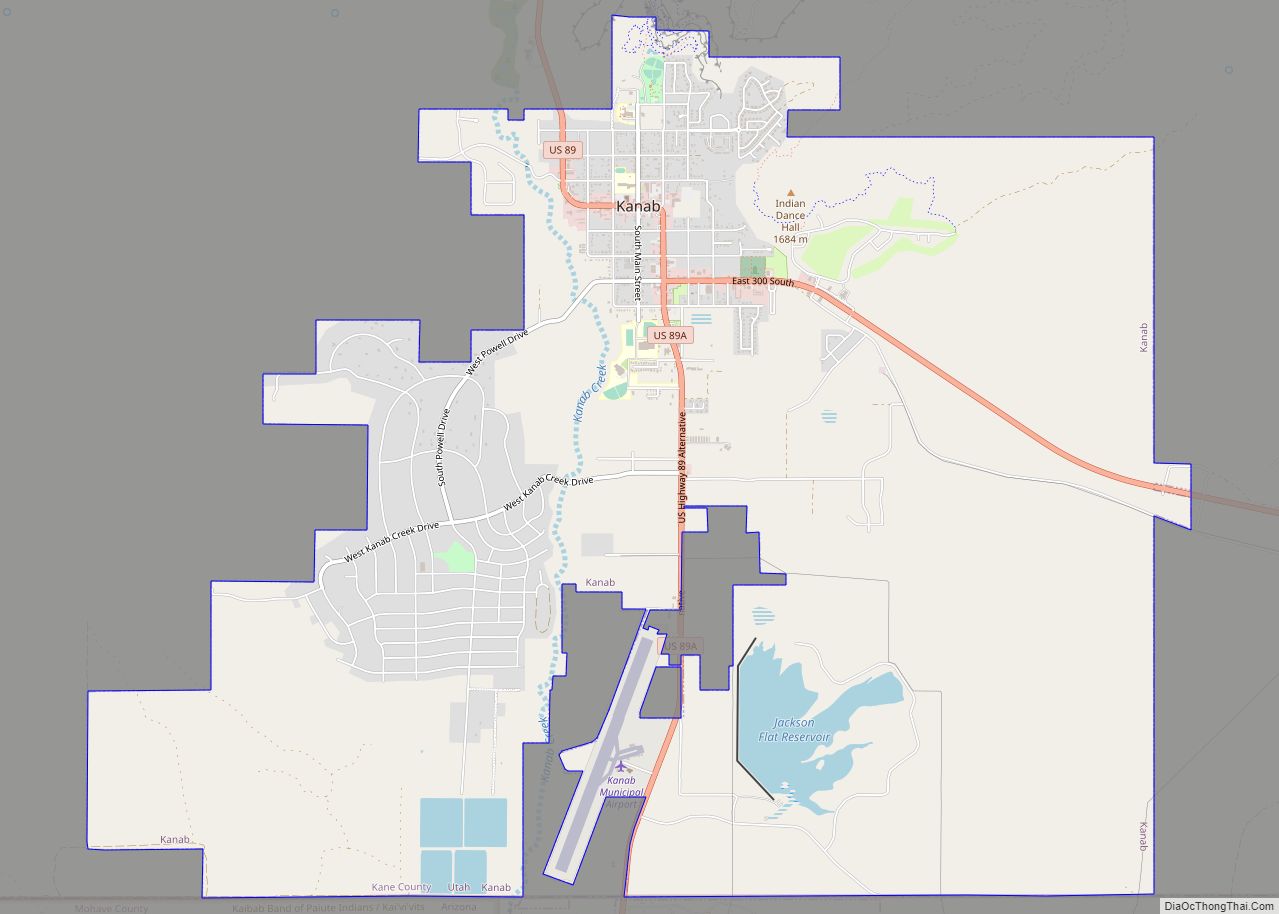
Orderville is in western Kane County within the Long Valley, formed by the East Fork of the Virgin River. U.S. Route 89 passes through the town, leading north 4 miles (6 km) to Glendale and 45 miles (72 km) to Panguitch, and south 21 miles (34 km) to Kanab, the Kane county seat.
According to the United States Census Bureau, the town has a total area of 9.2 square miles (23.7 km), all land. Its current limits include the former incorporated communities of Mount Carmel and Mount Carmel Junction. From Mount Carmel Junction, Utah State Route 9 leads west 23 miles (37 km) to Zion National Park.
Climate
This region experiences warm (but not hot) and dry summers, with no average monthly temperatures above 73.1 °F (22.8 °C). According to the Köppen Climate Classification system, Orderville has a warm-summer Mediterranean climate, abbreviated “Csb” on climate maps.
See also
Map of Utah State and its subdivision: Map of other states:- Alabama
- Alaska
- Arizona
- Arkansas
- California
- Colorado
- Connecticut
- Delaware
- District of Columbia
- Florida
- Georgia
- Hawaii
- Idaho
- Illinois
- Indiana
- Iowa
- Kansas
- Kentucky
- Louisiana
- Maine
- Maryland
- Massachusetts
- Michigan
- Minnesota
- Mississippi
- Missouri
- Montana
- Nebraska
- Nevada
- New Hampshire
- New Jersey
- New Mexico
- New York
- North Carolina
- North Dakota
- Ohio
- Oklahoma
- Oregon
- Pennsylvania
- Rhode Island
- South Carolina
- South Dakota
- Tennessee
- Texas
- Utah
- Vermont
- Virginia
- Washington
- West Virginia
- Wisconsin
- Wyoming