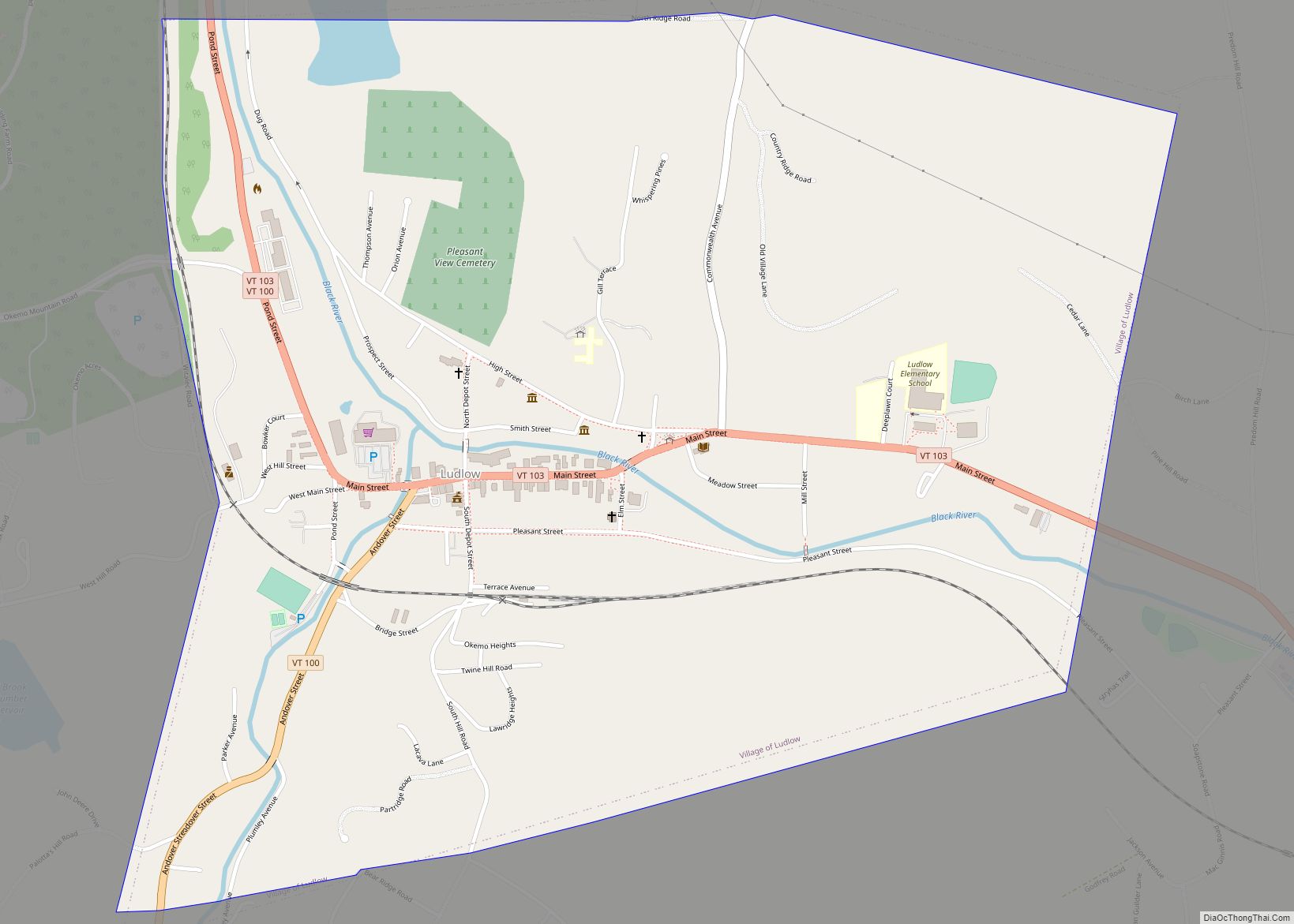
Ludlow is a town in Windsor County, Vermont, United States. The population was 2,172 at the 2020 census. Ludlow is the home of Okemo Mountain, a popular ski resort. Before becoming a ski destination, Ludlow was originally a mill town, and was the home of a General Electric plant until 1977. It was named after ... Read more
Vermont Cities and Places
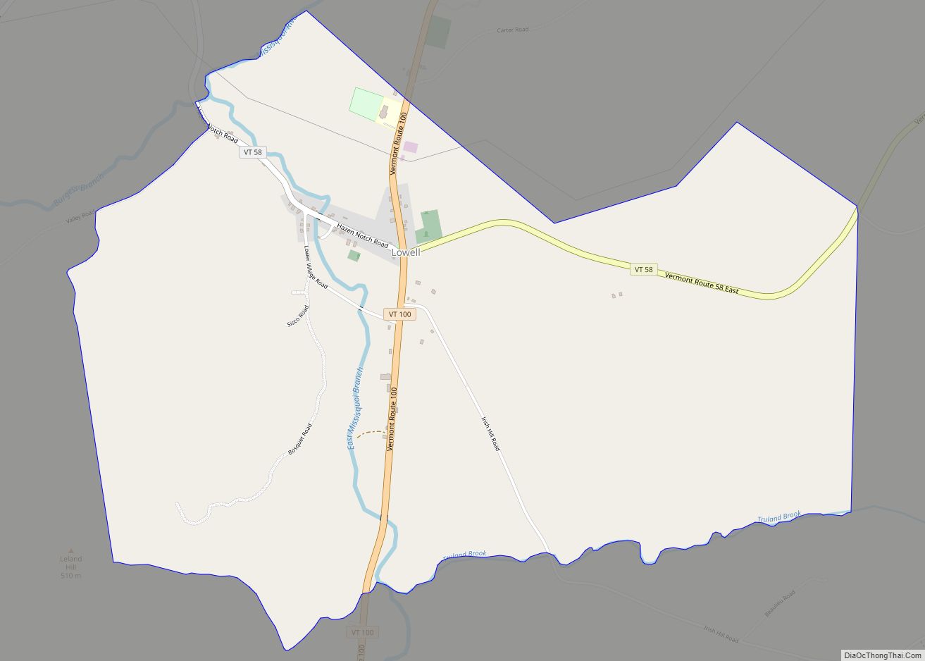
Lowell is the primary village and a census-designated place (CDP) in the town of Lowell, Orleans County, Vermont, United States. As of the 2020 census, it had a population of 254, out of 887 in the entire town of Lowell. The CDP is in western Orleans County, at the geographic center of the town. It ... Read more
Newport is a town in Orleans County, Vermont, United States. The population was 1,526 at the 2020 census. The town is referred to by the United States Postal Service and the media as Newport Center, the name of the main settlement of the town. Newport is also the name of neighboring Newport City. Newport city ... Read more
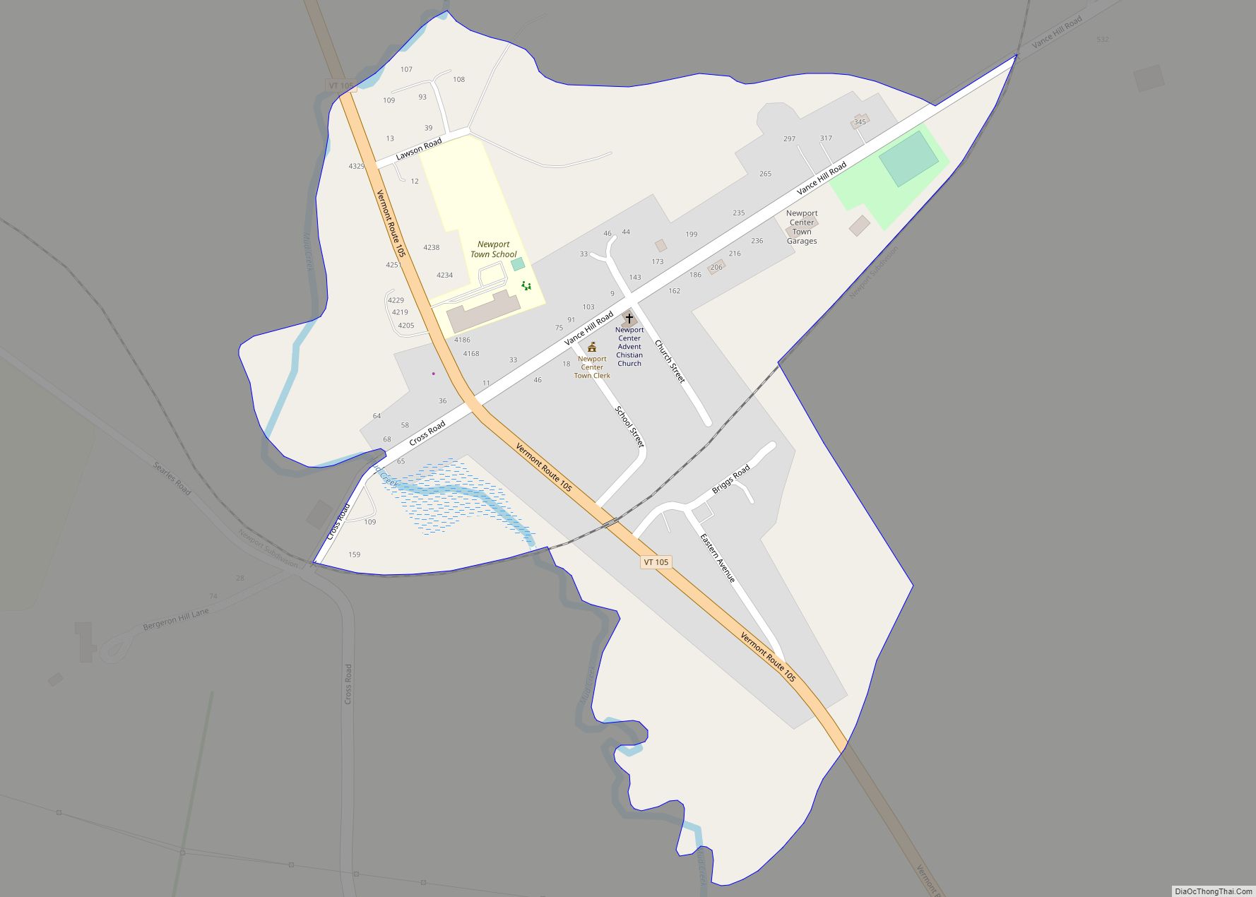
Newport Center is the primary village and a census-designated place (CDP) in the town of Newport, Orleans County, Vermont, United States. As of the 2020 census, it had a population of 231, out of 1,526 in the town of Newport. The CDP is in northern Orleans County, north of the geographic center of the town. ... Read more
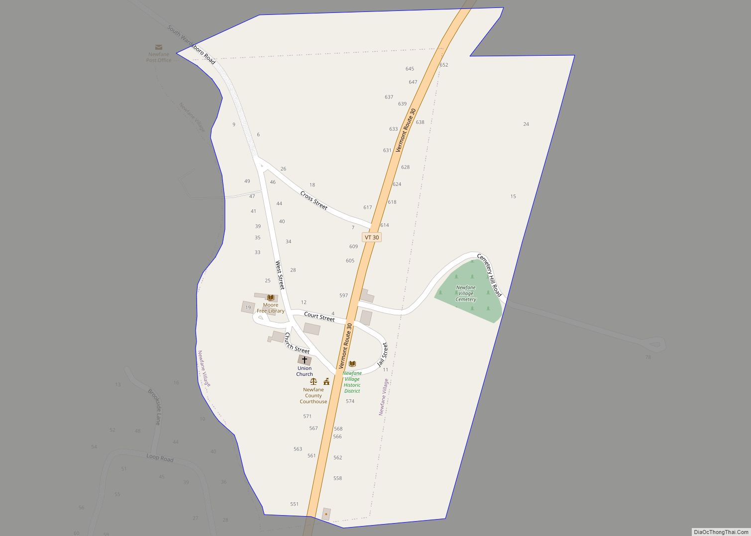
Newfane is the shire town (county seat) of Windham County, Vermont, United States. The population was 1,645 at the 2020 census. The town includes the villages of Newfane, Williamsville, and South Newfane. Newfane village overview: Name: Newfane village LSAD Code: 47 LSAD Description: village (suffix) State: Vermont County: Windham County Elevation: 1,004 ft (306 m) Total Area: ... Read more
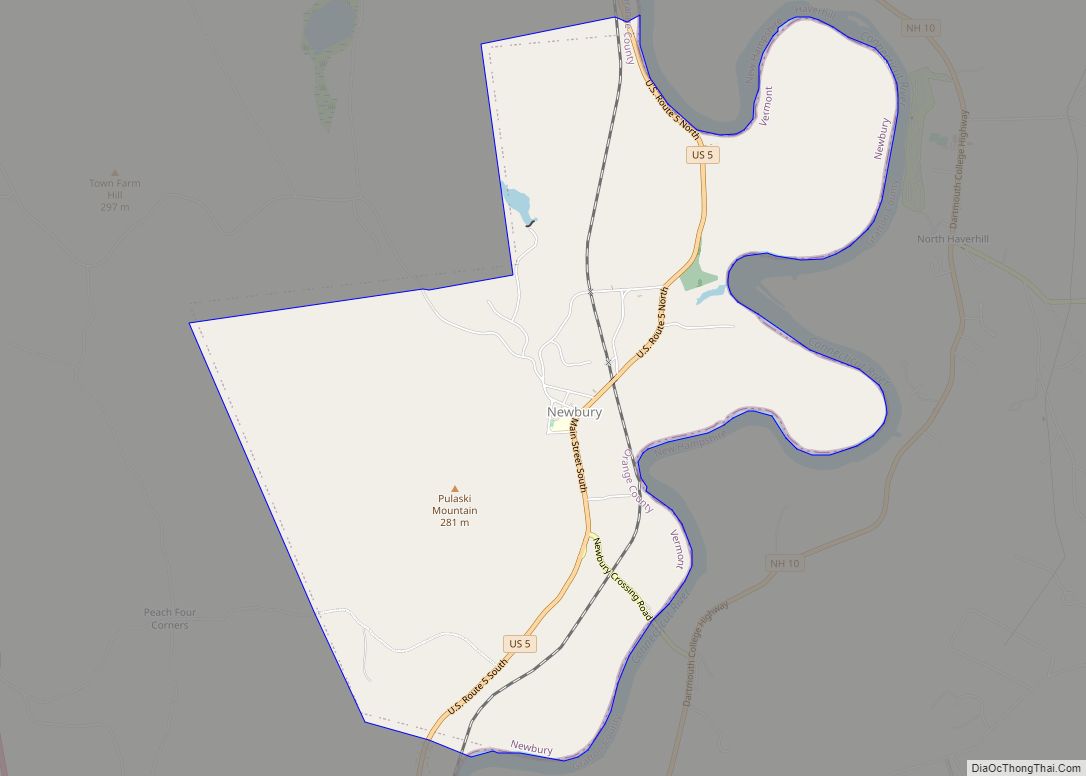
Newbury is a town in Orange County, Vermont, United States. The population was 2,293 at the 2020 census. Newbury includes the villages of Newbury, Center Newbury, West Newbury, South Newbury, Boltonville, Peach Four Corners, and Wells River. Newbury village overview: Name: Newbury village LSAD Code: 47 LSAD Description: village (suffix) State: Vermont County: Orange County ... Read more
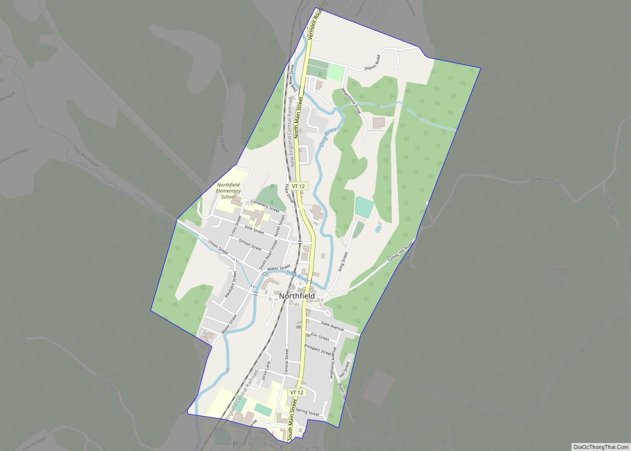
Northfield is a town in Washington County, Vermont, United States. The town lies in a valley within the Green Mountains and has been home to Norwich University since 1866. It contains the village of Northfield, where over half of the population lives. The town’s total population was 5,918 at the 2020 census. Northfield CDP overview: ... Read more
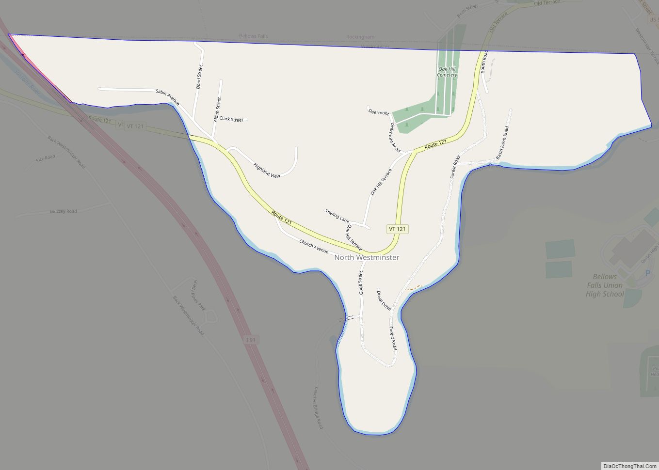
North Westminster is a census-designated place (CDP) in Windham County, Vermont, United States. The population was 262 at the 2020 census. Formerly an incorporated village, it surrendered its charter on April 20, 2010 and reverted to the town of Westminster. The village area and additional surroundings were defined by the U.S. Census Bureau as a ... Read more
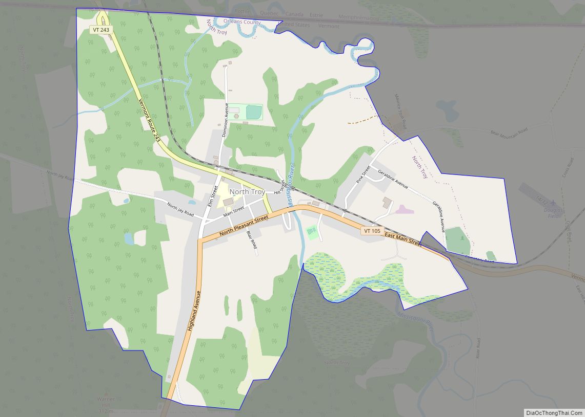
North Troy village overview: Name: North Troy village LSAD Code: 47 LSAD Description: village (suffix) State: Vermont County: Orleans County FIPS code: 5052075 Online Interactive Map North Troy online map. Source: Basemap layers from Google Map, Open Street Map (OSM), Arcgisonline, Wmflabs. Boundary Data from Database of Global Administrative Areas. North Troy location map. Where ... Read more
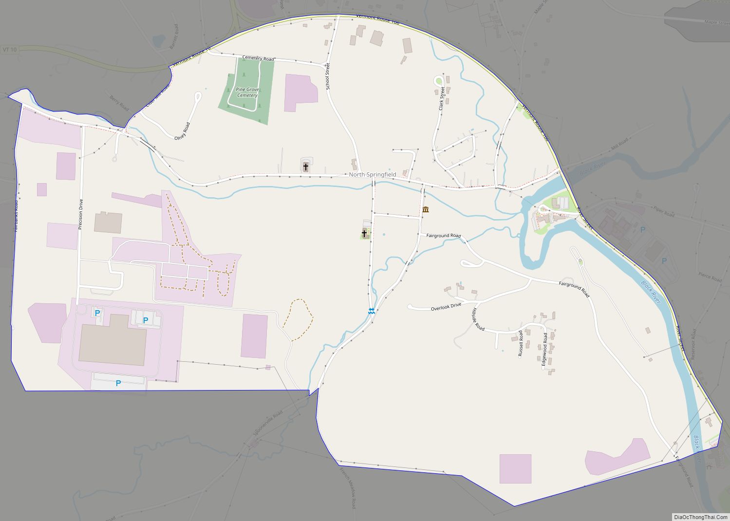
North Springfield is an unincorporated community and census-designated place in the town of Springfield, Windsor County, Vermont, United States. As of the 2010 census, the population of the CDP was 573. It lies at an altitude of 495 feet (151 m). A post office has been operated in North Springfield since 1832. Black River Produce, a major ... Read more
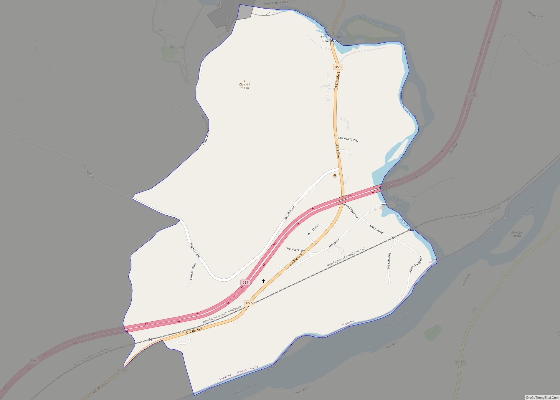
North Hartland is a census-designated place (CDP) in the town of Hartland, Windsor County, Vermont, United States. As of the 2010 census, the population of the CDP was 302. North Hartland CDP overview: Name: North Hartland CDP LSAD Code: 57 LSAD Description: CDP (suffix) State: Vermont County: Windsor County Elevation: 370 ft (110 m) Total Area: 1.0 sq mi ... Read more
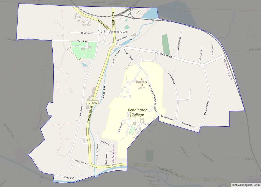
North Bennington village overview: Name: North Bennington village LSAD Code: 47 LSAD Description: village (suffix) State: Vermont County: Bennington County FIPS code: 5049075 Online Interactive Map North Bennington online map. Source: Basemap layers from Google Map, Open Street Map (OSM), Arcgisonline, Wmflabs. Boundary Data from Database of Global Administrative Areas. North Bennington location map. Where ... Read more
