Newbury is a town in Orange County, Vermont, United States. The population was 2,293 at the 2020 census. Newbury includes the villages of Newbury, Center Newbury, West Newbury, South Newbury, Boltonville, Peach Four Corners, and Wells River.
| Name: | Newbury village |
|---|---|
| LSAD Code: | 47 |
| LSAD Description: | village (suffix) |
| State: | Vermont |
| County: | Orange County |
| Elevation: | 774 ft (236 m) |
| Total Area: | 64.4 sq mi (166.9 km²) |
| Land Area: | 64.2 sq mi (166.2 km²) |
| Water Area: | 0.3 sq mi (0.7 km²) |
| Total Population: | 2,293 |
| Population Density: | 36/sq mi (14/km²) |
| Area code: | 802 |
| FIPS code: | 5048100 |
| GNISfeature ID: | 1462158 |
| Website: | www.newburyvt.org |
Online Interactive Map
Click on ![]() to view map in "full screen" mode.
to view map in "full screen" mode.
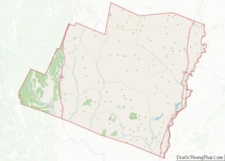
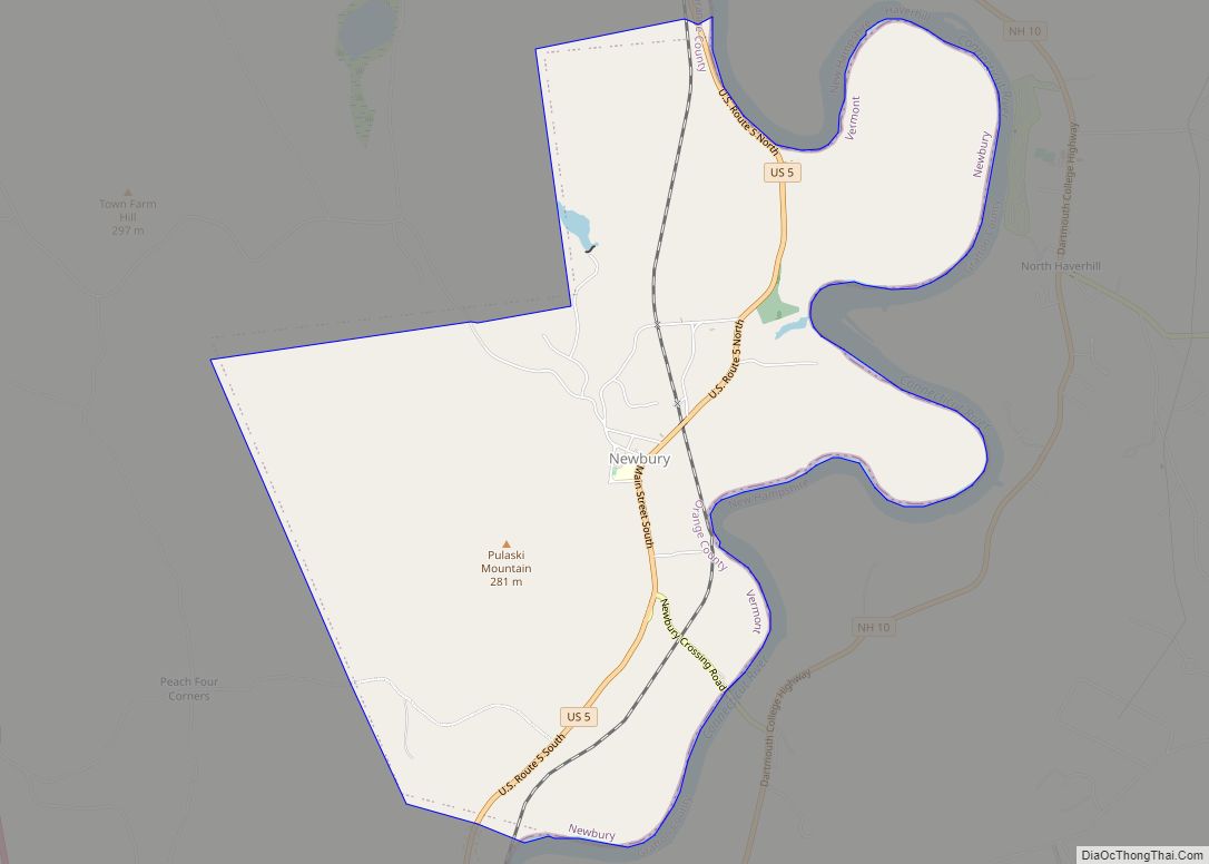
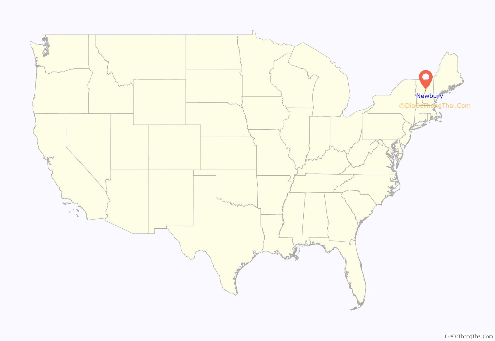
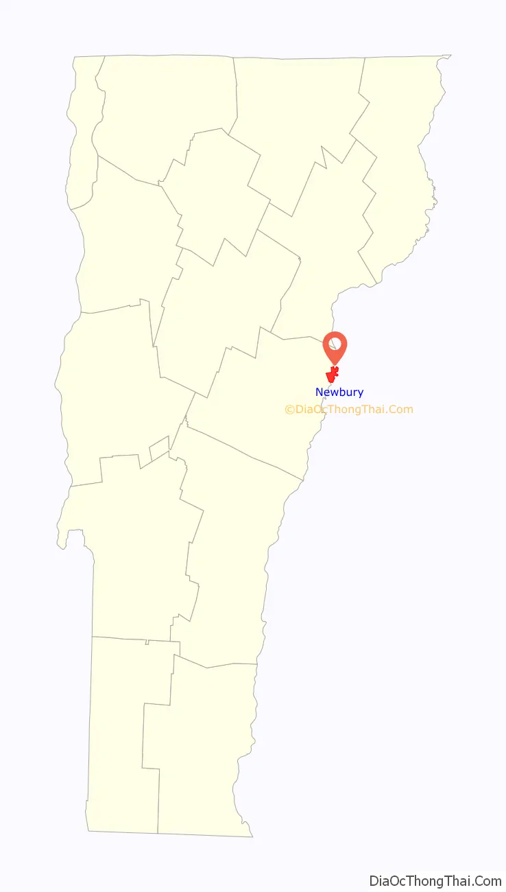
Newbury location map. Where is Newbury village?
History
Located at the Great Oxbow of the Connecticut River, with vast tracts of beautiful and fertile intervale, the area was a favorite of the Indians. Rivers teemed with salmon and brooks with trout. Prior to European settlement, the Newbury area was the location of a village called Cowass or Cowassuck of the Pennacook tribe. Cowass in Abenaki is “Coo-ash-auke,” meaning “place of pine trees,” and was a general name these people gave to the upper Connecticut River Valley and Lakes region. It was first settled by English colonists in 1762 by Samuel Sleeper and family. One of the New Hampshire grants, Newbury was chartered by Governor Benning Wentworth on March 18, 1763, to Jacob Bayley and 74 others, some from Newbury, Massachusetts.
The town served as the southern terminus of the Bayley Hazen Military Road, begun by Bayley in 1760 and then continued until 1779 by Colonel Moses Hazen. Meanwhile, pioneer farmers had to carry their grain 60 miles (97 kilometers) by canoe to Charlestown, New Hampshire to get it ground into flour. By 1859, when the population was 2,984, Newbury had two gristmills, in addition to a paper mill and steam mill to manufacture mackerel kits. The principal industry, however, along the alluvial meadows was raising beef cattle and sheep, and the production of wool and dairy goods. The Connecticut & Passumpsic Rivers Railroad opened on November 6, 1848, to the village of Wells River. It developed as an adjunct of the railway town across the Connecticut River at Woodsville, the once bustling village within Haverhill, New Hampshire.
In the summer of 1913 a large fire destroyed 21 buildings in Newbury, including a church, the public school, the hotel and a number of businesses and residences. Only a change of the wind saved the balance of the town since there was no fire department at that time.
In 1958, Newbury gained widespread notoriety after an unpopular farmer disappeared. The discovery of his bound body in the river three months later led to his death being described as a “lynching” by newspapers along the East Coast. Two suspects were acquitted, and the crime was never solved.
Boston University, one of New England’s largest universities, traces its roots to the establishment of the Newbury Biblical Institute, a Methodist school founded in Newbury, Vermont in 1839.
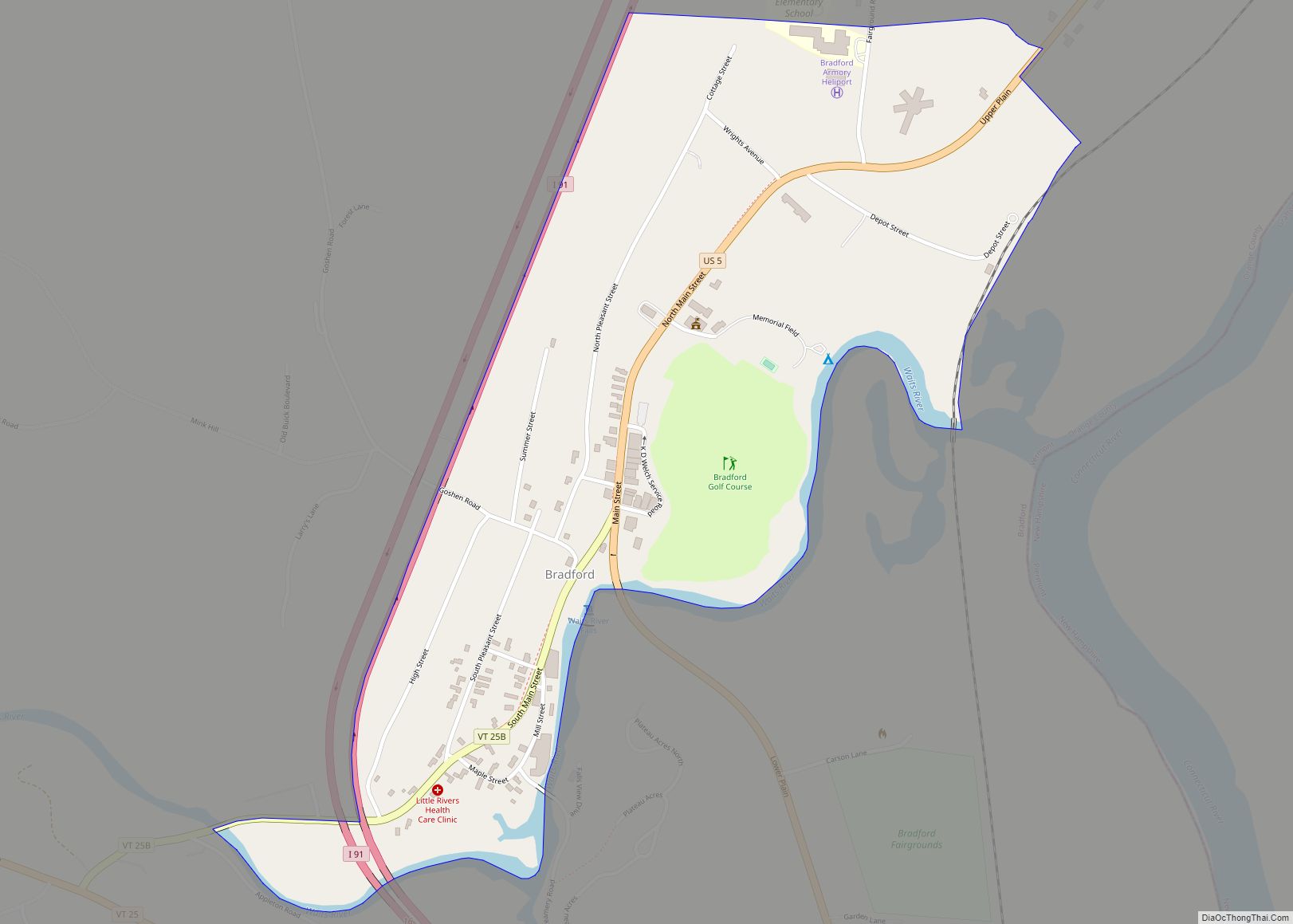
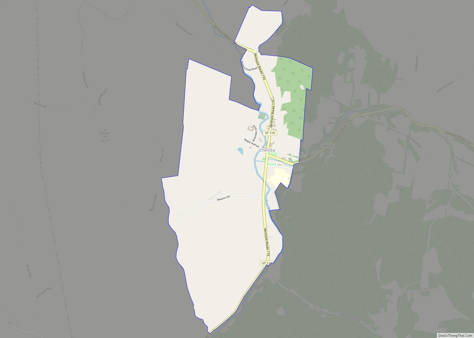
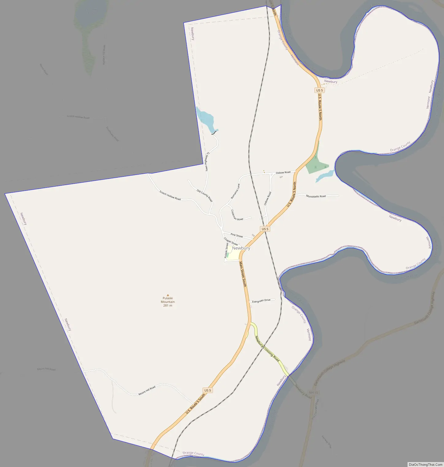
Newbury Road Map
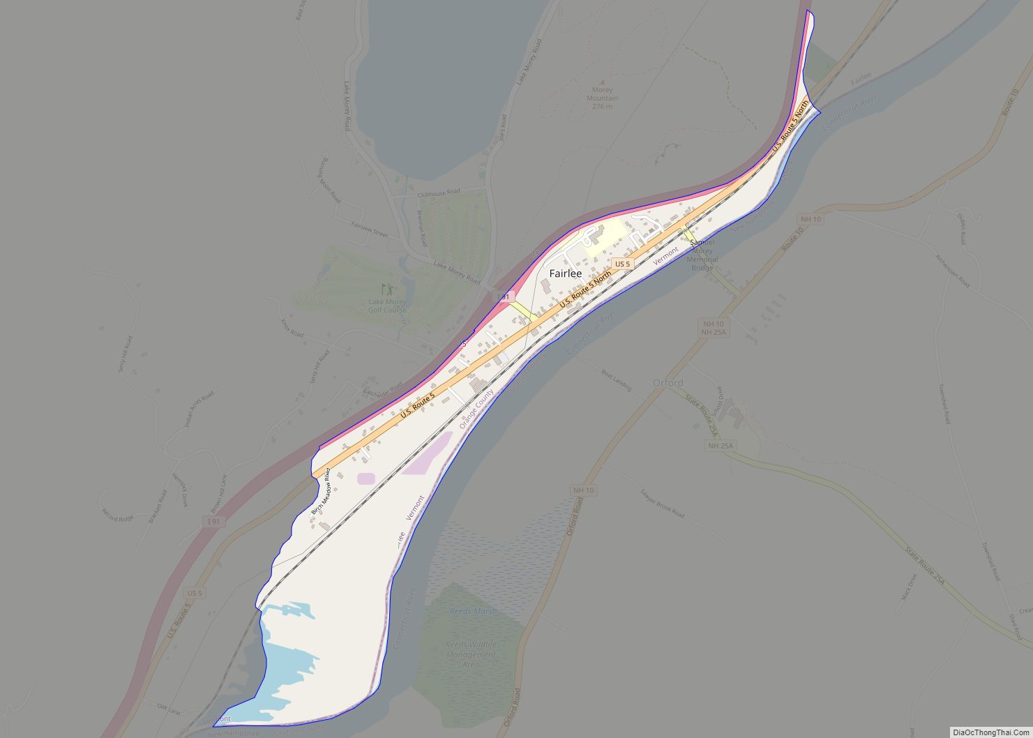
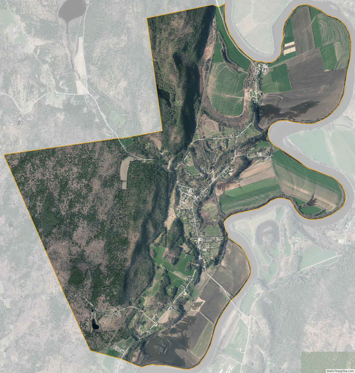
Newbury city Satellite Map
Geography
The town of Newbury is located in the northeast corner of Orange County.
According to the United States Census Bureau, the town has a total area of 64.4 square miles (166.9 km), of which 64.2 square miles (166.2 km) is land and 0.3 square mile (0.7 km) (0.40%) is water. Bounded on the east by the Connecticut River, which forms the Vermont–New Hampshire border, Newbury is drained by the Wells River, Halls Brook and Peach Brook.
The town is crossed by Interstate 91, U.S. Route 5, and U.S. Route 302.
See also
Map of Vermont State and its subdivision: Map of other states:- Alabama
- Alaska
- Arizona
- Arkansas
- California
- Colorado
- Connecticut
- Delaware
- District of Columbia
- Florida
- Georgia
- Hawaii
- Idaho
- Illinois
- Indiana
- Iowa
- Kansas
- Kentucky
- Louisiana
- Maine
- Maryland
- Massachusetts
- Michigan
- Minnesota
- Mississippi
- Missouri
- Montana
- Nebraska
- Nevada
- New Hampshire
- New Jersey
- New Mexico
- New York
- North Carolina
- North Dakota
- Ohio
- Oklahoma
- Oregon
- Pennsylvania
- Rhode Island
- South Carolina
- South Dakota
- Tennessee
- Texas
- Utah
- Vermont
- Virginia
- Washington
- West Virginia
- Wisconsin
- Wyoming