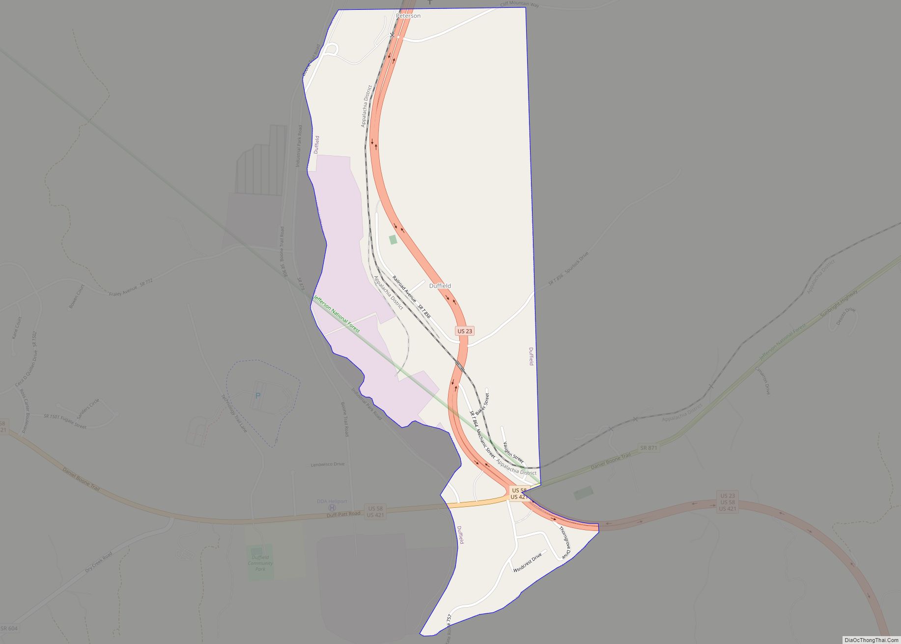
Duffield is a town in Scott County, Virginia, United States. The population was 73 at the 2020 census. It is part of the Kingsport–Bristol (TN)–Bristol (VA) Metropolitan Statistical Area, which is a component of the Johnson City–Kingsport–Bristol, TN-VA Combined Statistical Area – commonly known as the “Tri-Cities” region. Duffield town overview: Name: Duffield town LSAD Code: ... Read more
Virginia Cities and Places
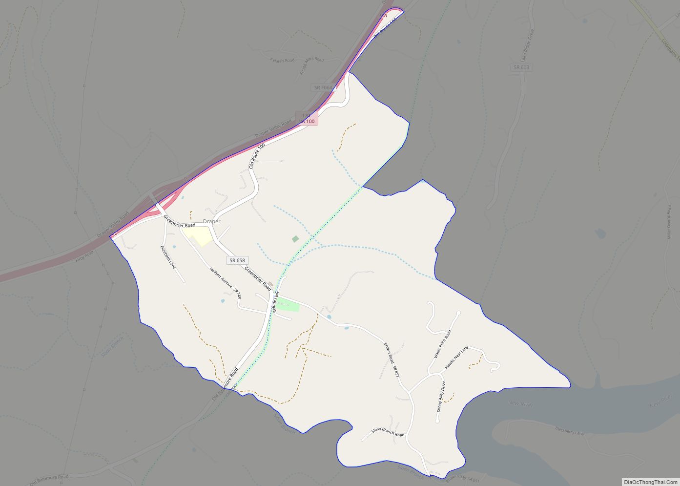
Draper CDP overview: Name: Draper CDP LSAD Code: 57 LSAD Description: CDP (suffix) State: Virginia County: Pulaski County FIPS code: 5123408 Online Interactive Map Draper online map. Source: Basemap layers from Google Map, Open Street Map (OSM), Arcgisonline, Wmflabs. Boundary Data from Database of Global Administrative Areas. Draper location map. Where is Draper CDP? Draper ... Read more
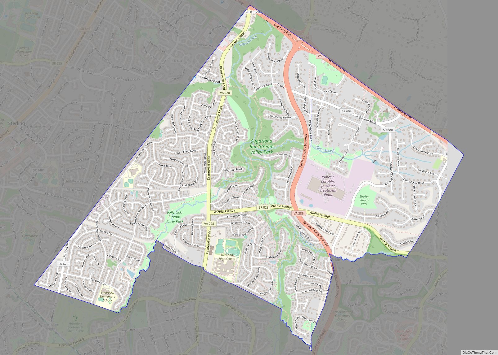
Dranesville is a census-designated place (CDP) in Fairfax County, Virginia, United States. Dranesville is located on the Leesburg Pike (State Route 7) at its intersection with Georgetown Pike (State Route 193). The U.S. Census Bureau defines Dranesville as a census-designated place (CDP) with a population of 11,921 as of 2010. The town is named for ... Read more
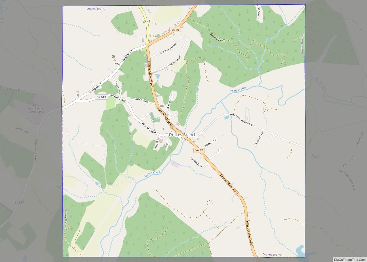
Drakes Branch is a town in Charlotte County, Virginia, United States. The population was 530 at the 2010 census. Drakes Branch town overview: Name: Drakes Branch town LSAD Code: 43 LSAD Description: town (suffix) State: Virginia County: Charlotte County Elevation: 384 ft (117 m) Total Area: 4.14 sq mi (10.72 km²) Land Area: 4.14 sq mi (10.72 km²) Water Area: 0.00 sq mi (0.00 km²) Total ... Read more
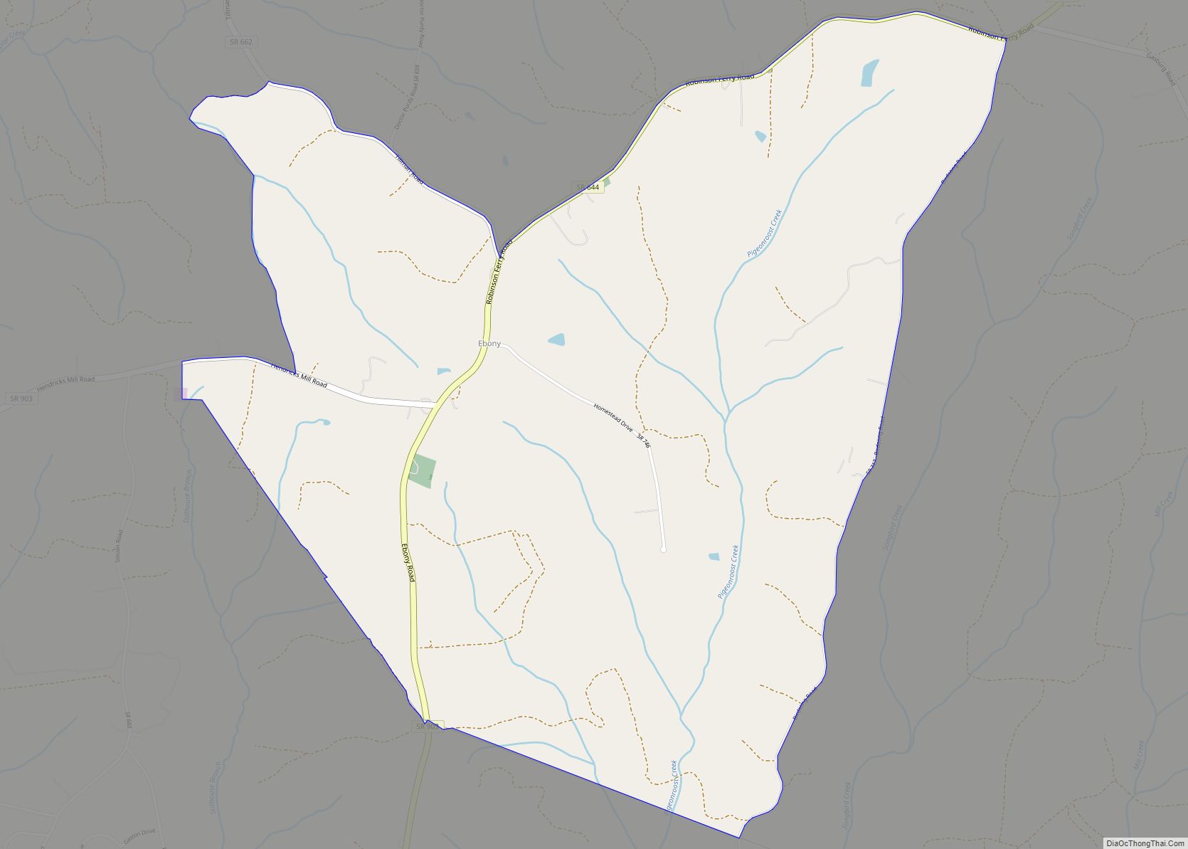
Ebony is a census-designated place (CDP) in Brunswick County, Virginia, United States. The population as of the 2010 Census was 161. Ebony CDP overview: Name: Ebony CDP LSAD Code: 57 LSAD Description: CDP (suffix) State: Virginia County: Brunswick County FIPS code: 5124816 Online Interactive Map Ebony online map. Source: Basemap layers from Google Map, Open ... Read more
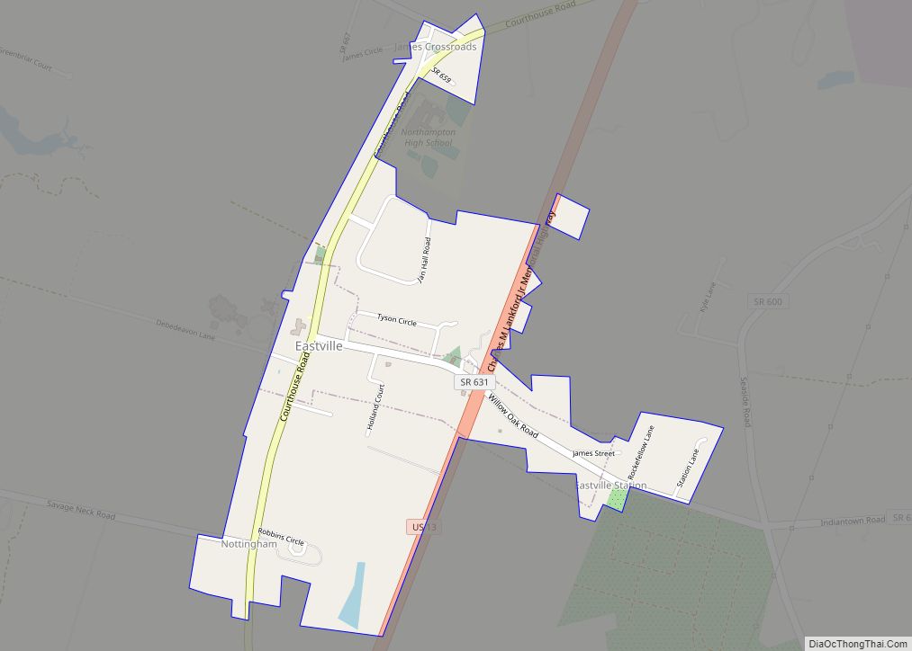
Eastville is a town in Northampton County, Virginia, United States. The population was 203 at the 2000 census. It is the county seat of Northampton County. The Northampton County Courthouse Historic District is part of the Eastville Historic District at the county seat. Eastville town overview: Name: Eastville town LSAD Code: 43 LSAD Description: town ... Read more
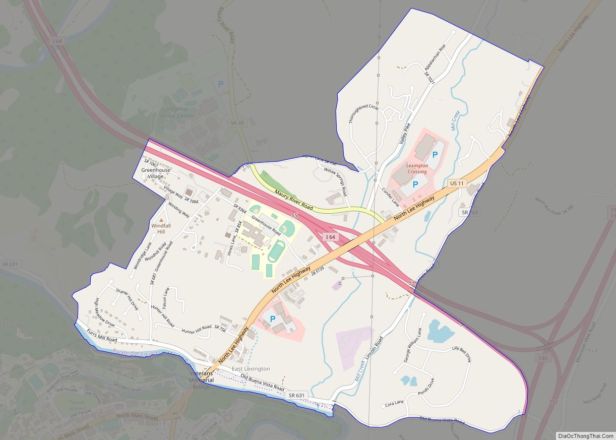
East Lexington is a census-designated place in Rockbridge County, Virginia. The population at the 2010 Census was 1,463. East Lexington CDP overview: Name: East Lexington CDP LSAD Code: 57 LSAD Description: CDP (suffix) State: Virginia County: Rockbridge County ZIP code: 24450 FIPS code: 5124544 GNISfeature ID: 2629753 Online Interactive Map East Lexington online map. Source: ... Read more
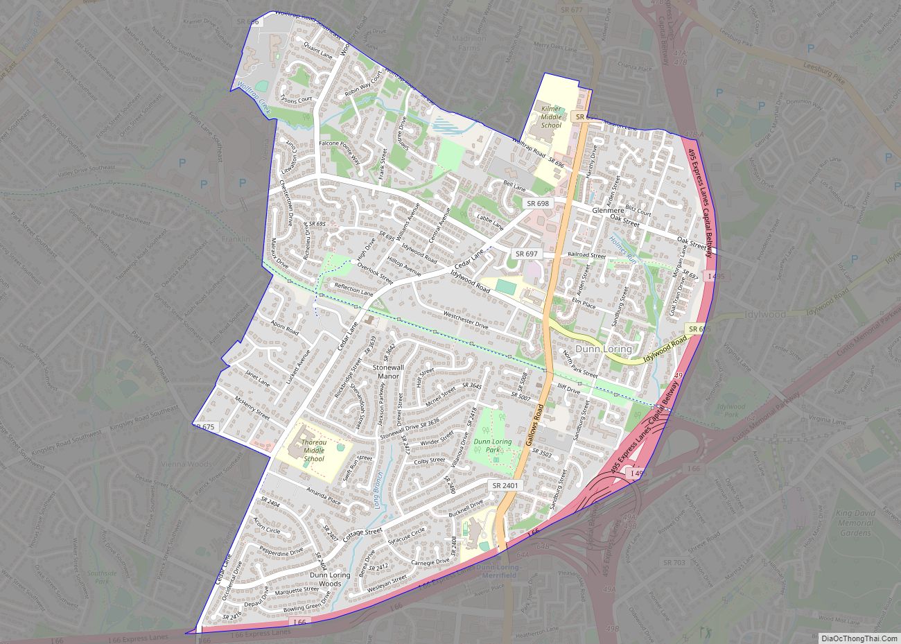
Dunn Loring is a census-designated place (CDP) in Fairfax County, Virginia, United States. The population was 8,803 at the 2010 census. The area borders Merrifield, Vienna, and Tysons.Dunn Loring is in the Metropolitan Area and is a suburban area next to DC. Many stars and celebrities have visited this city. Dunn Loring CDP overview: Name: ... Read more
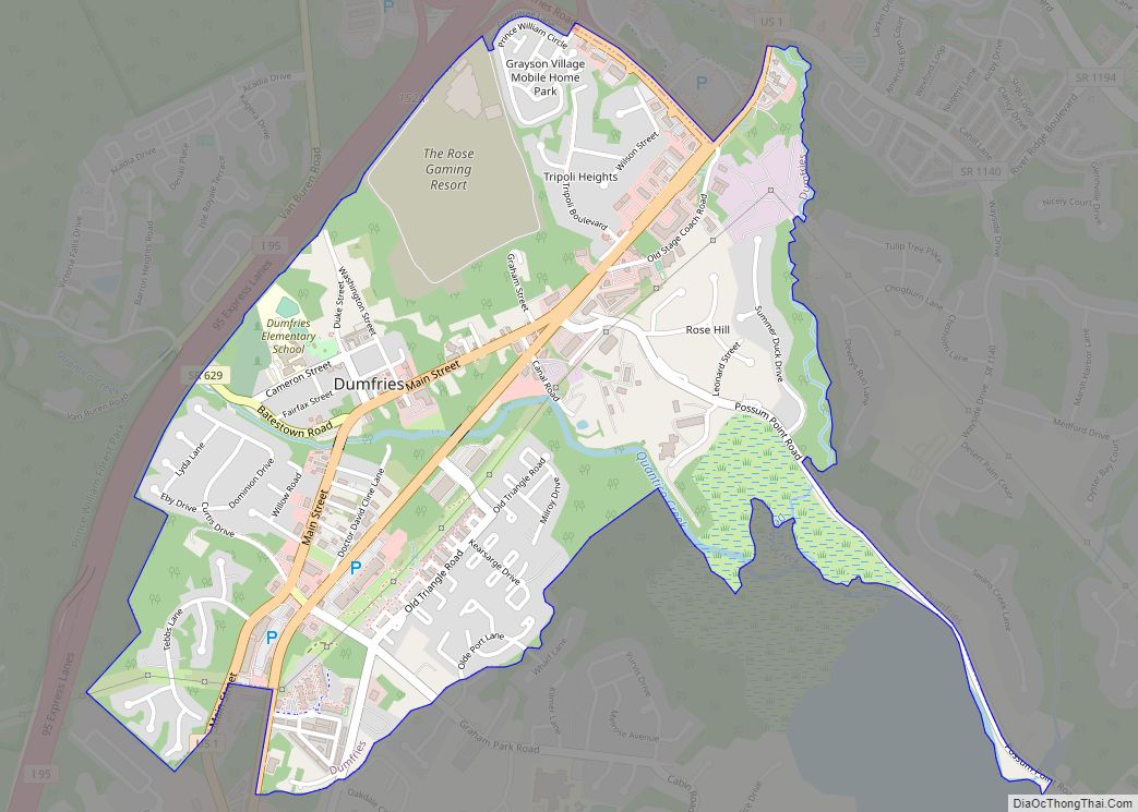
Dumfries, officially the Town of Dumfries, is a town in Prince William County, Virginia. The population was 4,961 at the 2010 United States Census. Dumfries town overview: Name: Dumfries town LSAD Code: 43 LSAD Description: town (suffix) State: Virginia County: Prince William County Founded: 1749 Elevation: 36 ft (11 m) Total Area: 1.55 sq mi (4.02 km²) Land Area: 1.53 sq mi ... Read more
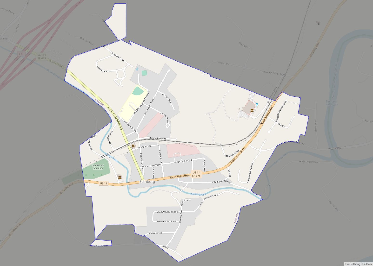
Edinburg is a town in Shenandoah County, Virginia, United States. The population was 1,041 at the 2010 census. Edinburg town overview: Name: Edinburg town LSAD Code: 43 LSAD Description: town (suffix) State: Virginia County: Shenandoah County Founded: 1852 Elevation: 807 ft (246 m) Total Area: 0.76 sq mi (1.96 km²) Land Area: 0.74 sq mi (1.92 km²) Water Area: 0.02 sq mi (0.05 km²) Total Population: ... Read more
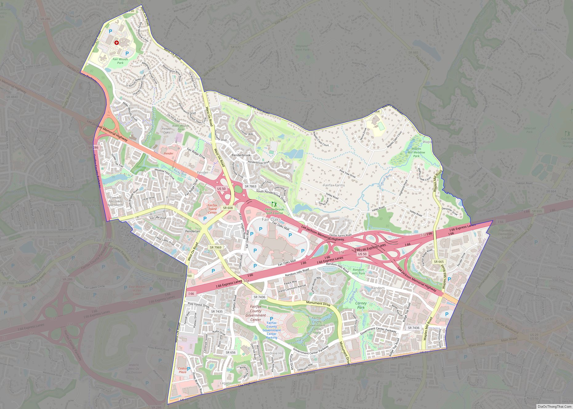
Fair Oaks is a census-designated place in Fairfax County, Virginia, United States. The population as of the 2010 census was 30,223. It encompasses a large area west of the city of Fairfax, centered on Fair Oaks Mall. Suburban neighborhoods and office parks occupy most of Fair Oaks, largely developed since the 1980s. The Fair Oaks ... Read more
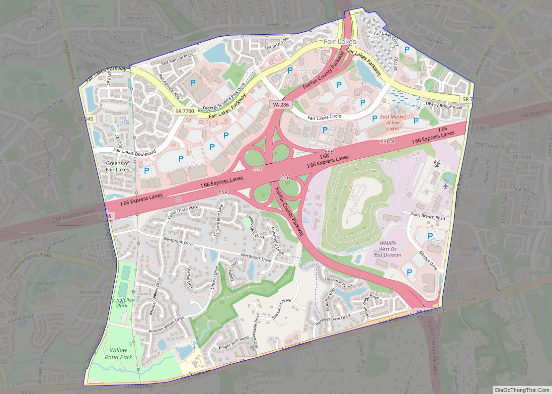
Fair Lakes is a census-designated place (CDP) and business park located west of Fairfax in Fairfax County, Virginia, United States. Fair Lakes had a population of 7,942 in 2010. Fair Lakes CDP overview: Name: Fair Lakes CDP LSAD Code: 57 LSAD Description: CDP (suffix) State: Virginia County: Fairfax County Elevation: 400 ft (100 m) Total Area: 2.42 sq mi ... Read more
