Dranesville is a census-designated place (CDP) in Fairfax County, Virginia, United States. Dranesville is located on the Leesburg Pike (State Route 7) at its intersection with Georgetown Pike (State Route 193). The U.S. Census Bureau defines Dranesville as a census-designated place (CDP) with a population of 11,921 as of 2010.
The town is named for James Drane, a settler who moved there from Maryland in 1810 and began the operation of Drane’s Tavern. The Dranesville Tavern is listed on the National Register of Historic Places. James was father of noted lobbyist Washington Drane.
| Name: | Dranesville CDP |
|---|---|
| LSAD Code: | 57 |
| LSAD Description: | CDP (suffix) |
| State: | Virginia |
| County: | Fairfax County |
| Elevation: | 350 ft (110 m) |
| Total Area: | 3.87 sq mi (10.03 km²) |
| Land Area: | 3.84 sq mi (9.95 km²) |
| Water Area: | 0.03 sq mi (0.08 km²) |
| Total Population: | 11,921 |
| Population Density: | 3,102/sq mi (1,197.7/km²) |
| FIPS code: | 5123392 |
| GNISfeature ID: | 2584837 |
Online Interactive Map
Click on ![]() to view map in "full screen" mode.
to view map in "full screen" mode.
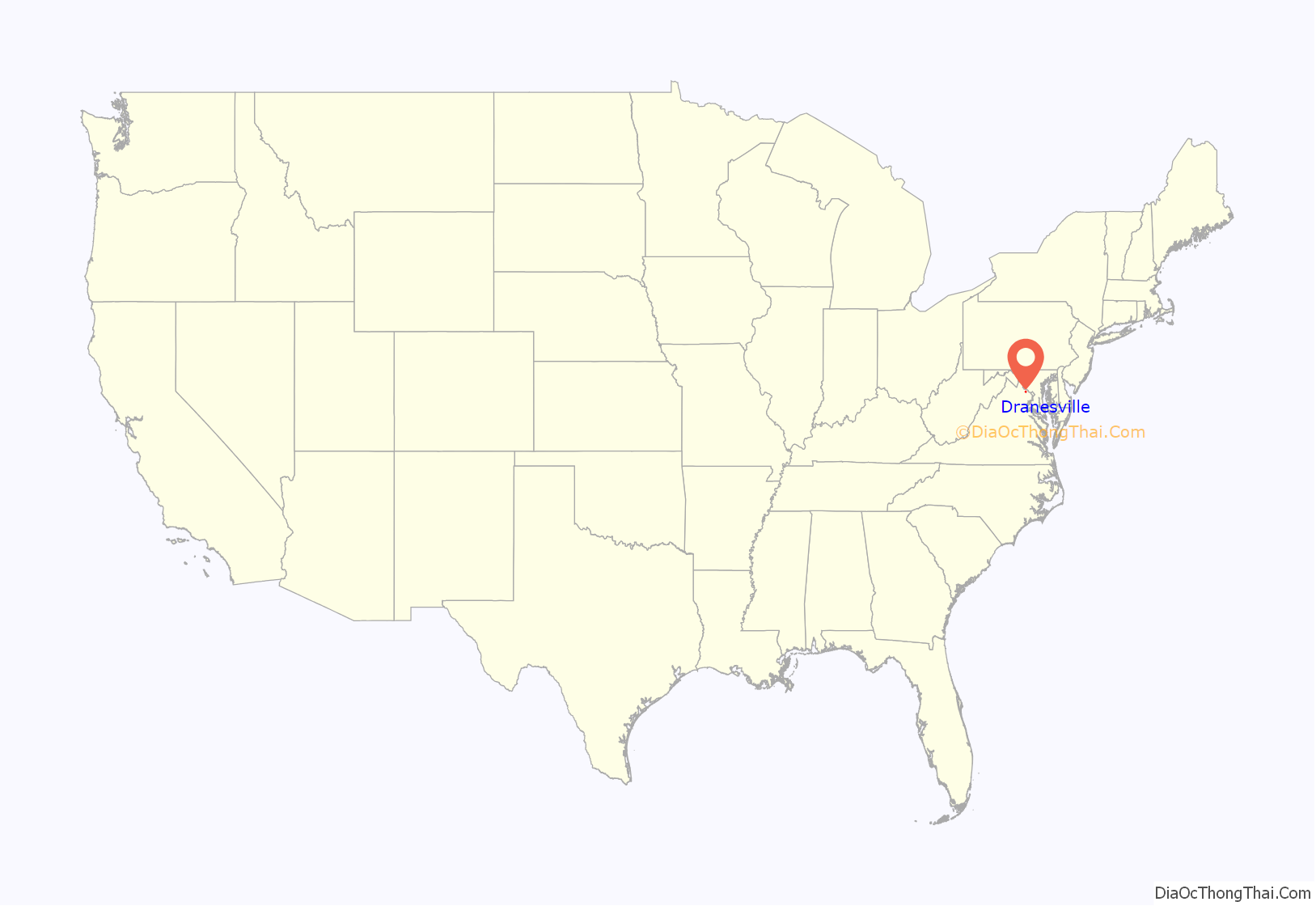
Dranesville location map. Where is Dranesville CDP?

Dranesville Road Map

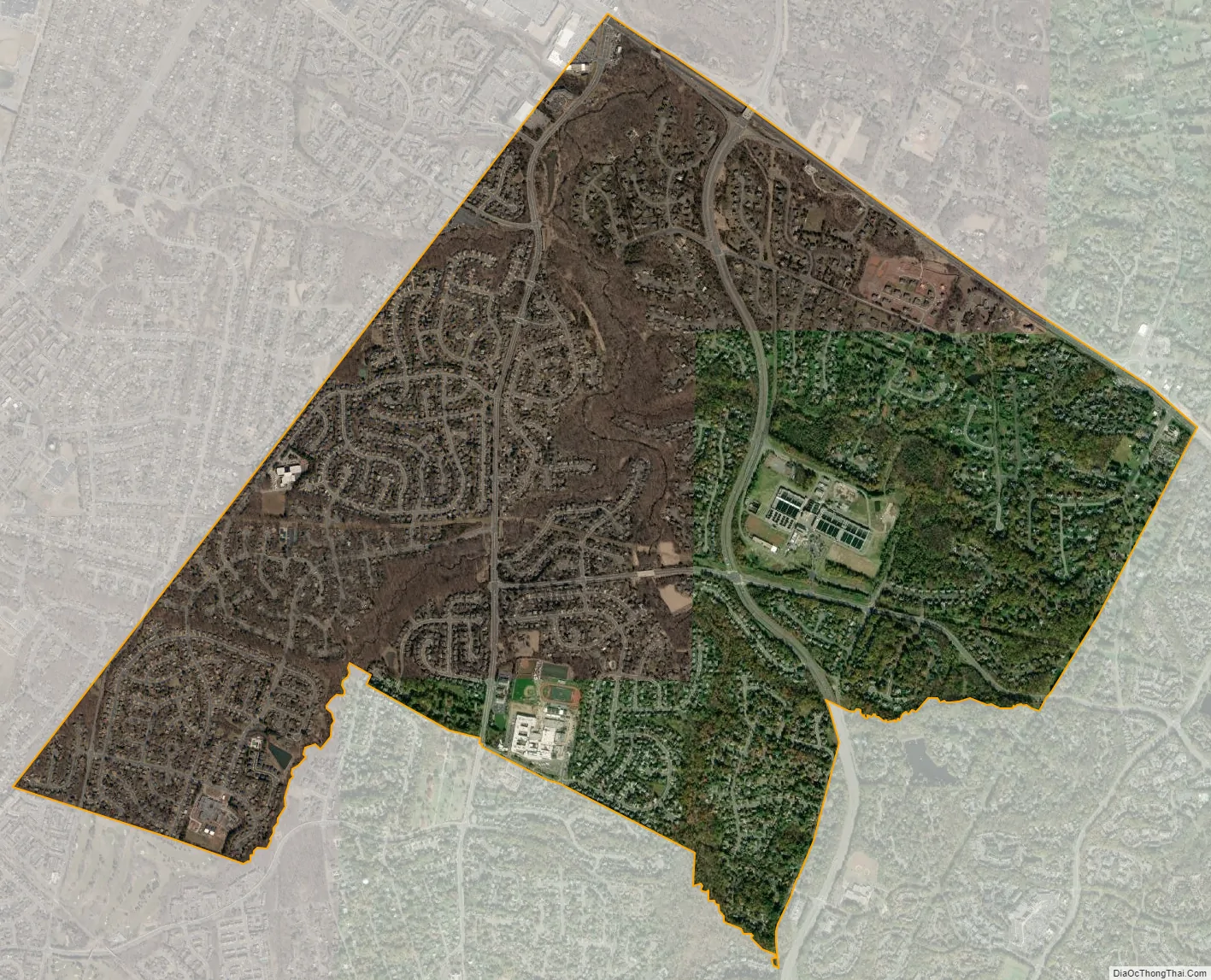
Dranesville city Satellite Map
Geography
The CDP is located in northern Fairfax County and is bounded by Route 7 to the northeast, the Loudoun County line to the northwest, the town of Herndon to the southwest, and Reston to the southeast. The original settlement of Dranesville, at the intersection of Routes 7 and 193, is at the northeast corner of the CDP. Washington, D.C. is 23 miles (37 km) to the southeast down Route 7 and I-66, and Leesburg is 13 miles (21 km) to the northwest on Route 7. Washington Dulles International Airport is 9 miles (14 km) to the southwest.
According to the U.S. Census Bureau, the Dranesville CDP has a total area of 3.87 square miles (10.03 km), of which 3.84 square miles (9.95 km) is land and 0.03 square miles (0.08 km), or 0.77%, is water.
See also
Map of Virginia State and its subdivision:- Accomack
- Albemarle
- Alexandria
- Alleghany
- Amelia
- Amherst
- Appomattox
- Arlington
- Augusta
- Bath
- Bedford
- Bedford City
- Bland
- Botetourt
- Bristol
- Brunswick
- Buchanan
- Buckingham
- Buena Vista
- Campbell
- Caroline
- Carroll
- Charles City
- Charlotte
- Charlottesville
- Chesapeake
- Chesterfield
- Clarke
- Clifton Forge City
- Colonial Heights
- Covington
- Craig
- Culpeper
- Cumberland
- Danville
- Dickenson
- Dinwiddie
- Emporia
- Essex
- Fairfax
- Fairfax City
- Falls Church
- Fauquier
- Floyd
- Fluvanna
- Franklin
- Frederick
- Fredericksburg
- Galax
- Giles
- Gloucester
- Goochland
- Grayson
- Greene
- Greensville
- Halifax
- Hampton
- Hanover
- Harrisonburg
- Henrico
- Henry
- Highland
- Hopewell
- Isle of Wight
- James City
- King and Queen
- King George
- King William
- Lancaster
- Lee
- Lexington
- Loudoun
- Louisa
- Lunenburg
- Lynchburg
- Madison
- Manassas
- Manassas Park
- Martinsville
- Mathews
- Mecklenburg
- Middlesex
- Montgomery
- Nelson
- New Kent
- Newport News
- Norfolk
- Northampton
- Northumberland
- Norton
- Nottoway
- Orange
- Page
- Patrick
- Petersburg
- Pittsylvania
- Poquoson
- Portsmouth
- Powhatan
- Prince Edward
- Prince George
- Prince William
- Pulaski
- Radford
- Rappahannock
- Richmond
- Roanoke
- Roanoke City
- Rockbridge
- Rockingham
- Russell
- Salem
- Scott
- Shenandoah
- Smyth
- Southampton
- Spotsylvania
- Stafford
- Staunton
- Suffolk
- Surry
- Sussex
- Tazewell
- Virginia Beach
- Warren
- Washington
- Waynesboro
- Westmoreland
- Williamsburg
- Winchester
- Wise
- Wythe
- York
- Alabama
- Alaska
- Arizona
- Arkansas
- California
- Colorado
- Connecticut
- Delaware
- District of Columbia
- Florida
- Georgia
- Hawaii
- Idaho
- Illinois
- Indiana
- Iowa
- Kansas
- Kentucky
- Louisiana
- Maine
- Maryland
- Massachusetts
- Michigan
- Minnesota
- Mississippi
- Missouri
- Montana
- Nebraska
- Nevada
- New Hampshire
- New Jersey
- New Mexico
- New York
- North Carolina
- North Dakota
- Ohio
- Oklahoma
- Oregon
- Pennsylvania
- Rhode Island
- South Carolina
- South Dakota
- Tennessee
- Texas
- Utah
- Vermont
- Virginia
- Washington
- West Virginia
- Wisconsin
- Wyoming


