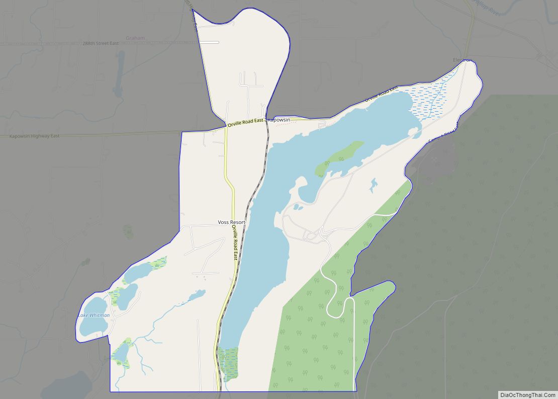
Map of Clinton CDP, Washington

Map of Clinton CDP, Washington

Clinton is a community and census-designated place (CDP) located on southern Whidbey Island in Island County, Washington, United States. The town was named after Clinton, Michigan. As of the 2010 census, the village was 928. However, the post office serves at least 2,500 people. Clinton is the western terminus of the Whidbey Island (Clinton)-to-Mukilteo Washington … Read more

Map of Cliffdell CDP

Map of Cliffdell CDP

Cliffdell is an unincorporated community in Yakima County, Washington, United States, located approximately 23 miles west of Ellensburg. The community was originally named Spring Flats and in 1920, was renamed to Cliffdell in honor of Cliff and Della Schott of Seattle. The Schott’s were friends of homesteader Russell Davison who developed much of the town … Read more

Map of Clearview CDP, Washington

Map of Clearview CDP, Washington

Clearview is a small unincorporated community and census-designated place (CDP) in Snohomish County, Washington, United States. The population was 3,324 at the 2010 census. Clearview is located on both sides of State Route 9, where it intersects 180th Street SE (once known as Vine Street) in Snohomish County, Washington, United States. It is located between … Read more

Map of Clear Lake CDP, Washington

Map of Clear Lake CDP, Washington

Clear Lake CDP overview: Name: Clear Lake CDP LSAD Code: 57 LSAD Description: CDP (suffix) State: Washington County: Pierce County FIPS code: 5312820 Online Interactive Map Clear Lake online map. Source: Basemap layers from Google Map, Open Street Map (OSM), Arcgisonline, Wmflabs. Boundary Data from Database of Global Administrative Areas. Clear Lake location map. Where … Read more

Map of Cle Elum city

Map of Cle Elum city

Cle Elum (/kli ˈɛləm/ klee ELL-um) is a city in Kittitas County, Washington, United States. The population was 1,872 at the 2010 census. About 84 miles (135 km) by car from Seattle, Cle Elum is a popular area for camping and outdoor activities. Cle Elum city overview: Name: Cle Elum city LSAD Code: 25 LSAD Description: … Read more

Map of College Place city

Map of College Place city

College Place is a town in Walla Walla County, Washington, United States. It neighbors the larger city of Walla Walla, and had a population of 9,902 at the 2020 census. College Place is the home of Walla Walla University (formerly Walla Walla College, thus the city’s name), a Seventh-day Adventist operated liberal arts university. Due … Read more

Map of Coulee City town

Map of Coulee City town

Coulee City town overview: Name: Coulee City town LSAD Code: 43 LSAD Description: town (suffix) State: Washington County: Grant County FIPS code: 5315080 Online Interactive Map Coulee City online map. Source: Basemap layers from Google Map, Open Street Map (OSM), Arcgisonline, Wmflabs. Boundary Data from Database of Global Administrative Areas. Coulee City location map. Where … Read more

Map of Cottage Lake CDP

Map of Cottage Lake CDP

Cottage Lake is a census-designated place (CDP) in King County, Washington, United States. The population was 22,494 at the 2010 census. The lake itself falls within the 98072 ZIP code, while the developments east of the lake fall under the 98077 ZIP code. Based on per capita income, Cottage Lake ranks 13th of 522 areas … Read more

Map of Cosmopolis city

Map of Cosmopolis city

Cosmopolis is a city in Grays Harbor County, Washington, United States. The population was 1,638 at the 2020 census. Cosmopolis city overview: Name: Cosmopolis city LSAD Code: 25 LSAD Description: city (suffix) State: Washington County: Grays Harbor County Elevation: 26 ft (8 m) Land Area: 1.39 sq mi (3.60 km²) Water Area: 0.19 sq mi (0.49 km²) Population Density: 1,193.97/sq mi (461.05/km²) ZIP code: … Read more

Map of Copalis Beach CDP

Map of Copalis Beach CDP

Copalis Beach is a census-designated place (CDP) in Grays Harbor County, Washington, United States. The population was 415 at the 2010 census. The name “Copalis” comes from the Quinault language term /k’ʷpíls/. The Copalis are a Native American group. Both the Chehalis people and Quinault Indian Nation claim the Copalis are a subdivision of their … Read more

Map of Conway CDP, Washington

Map of Conway CDP, Washington

Conway is a census-designated place (CDP) in Skagit County, Washington, United States. First settled in 1873 by Thomas P. Jones and Charles Villeneuves, its population was 91 at the 2010 census. It is included in the Mount Vernon–Anacortes, Washington Metropolitan Statistical Area. Conway CDP overview: Name: Conway CDP LSAD Code: 57 LSAD Description: CDP (suffix) … Read more

Map of Connell city

Map of Connell city

Connell (/kɑːˈnɛl/) is a city in Franklin County, Washington, United States. The population was 5,441 at the 2020 census. Connell city overview: Name: Connell city LSAD Code: 25 LSAD Description: city (suffix) State: Washington County: Franklin County Elevation: 846 ft (258 m) Total Area: 7.69 sq mi (19.91 km²) Land Area: 7.69 sq mi (19.91 km²) Water Area: 0.00 sq mi (0.00 km²) Total Population: 5,441 … Read more