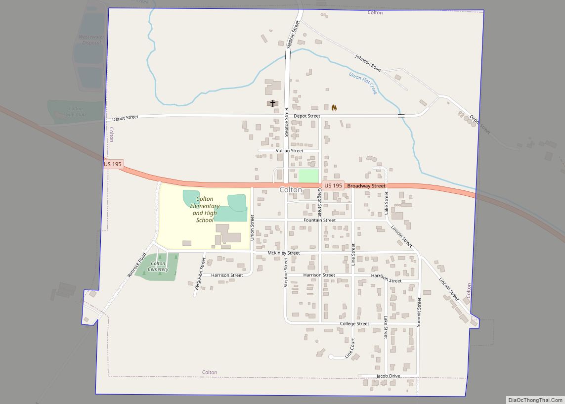
Colton town overview: Name: Colton town LSAD Code: 43 LSAD Description: town (suffix) State: Washington County: Whitman County FIPS code: 5313890 Online Interactive Map Colton online map. Source: Basemap layers from Google Map, Open Street Map (OSM), Arcgisonline, Wmflabs. Boundary Data from Database of Global Administrative Areas. Colton location map. Where is Colton town? Colton ... Read more
Washington Cities and Places
Covington is a city in King County, Washington, United States. The population was 20,777 at the time of the 2020 census. Prior to the 2010 census, Covington was counted as part of Covington-Sawyer-Wilderness CDP. Covington city overview: Name: Covington city LSAD Code: 25 LSAD Description: city (suffix) State: Washington County: King County Founded: August 31, ... Read more
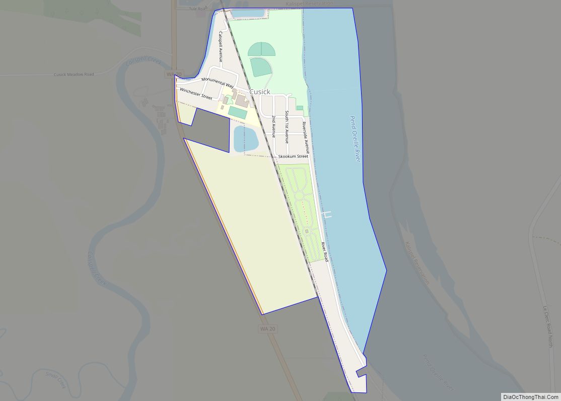
Cusick town overview: Name: Cusick town LSAD Code: 43 LSAD Description: town (suffix) State: Washington County: Pend Oreille County FIPS code: 5316340 Online Interactive Map Cusick online map. Source: Basemap layers from Google Map, Open Street Map (OSM), Arcgisonline, Wmflabs. Boundary Data from Database of Global Administrative Areas. Cusick location map. Where is Cusick town? ... Read more
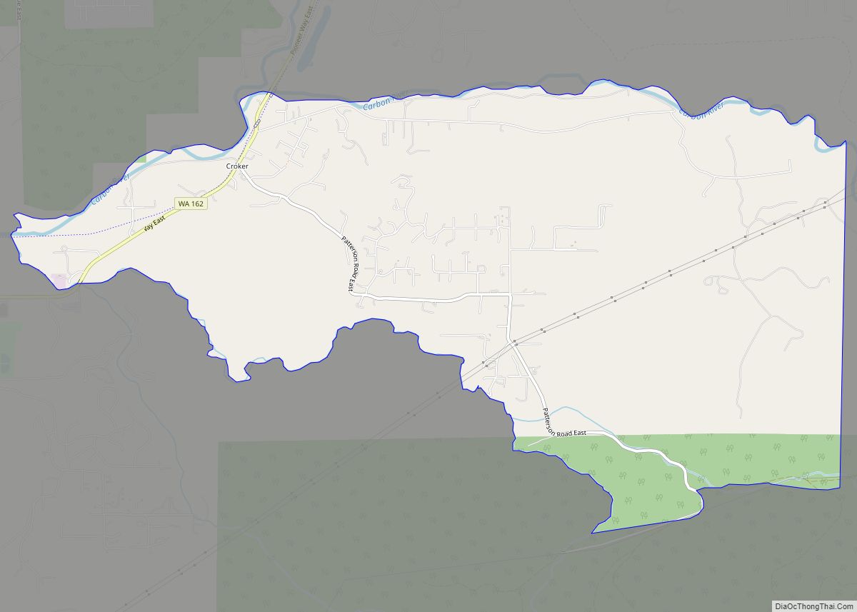
Crocker is a census-designated place located in Pierce County, Washington. Crocker CDP overview: Name: Crocker CDP LSAD Code: 57 LSAD Description: CDP (suffix) State: Washington County: Pierce County Elevation: 892 ft (272 m) Total Area: 2.00 sq mi (5.2 km²) Total Population: 1,268 Population Density: 630/sq mi (240/km²) Area code: 360 FIPS code: 5315780 Online Interactive Map Crocker online map. Source: ... Read more
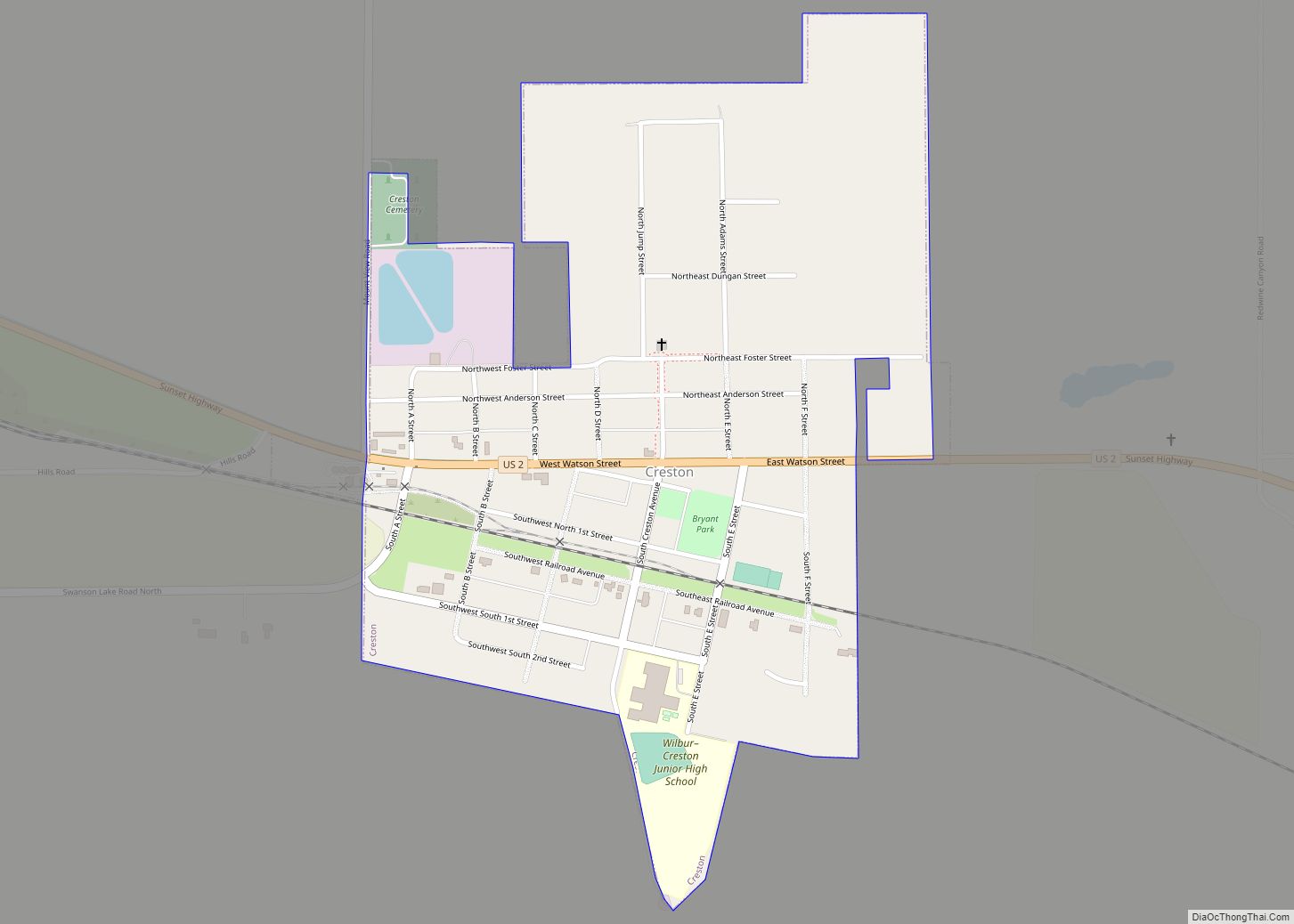
Creston town overview: Name: Creston town LSAD Code: 43 LSAD Description: town (suffix) State: Washington County: Lincoln County FIPS code: 5315710 Online Interactive Map Creston online map. Source: Basemap layers from Google Map, Open Street Map (OSM), Arcgisonline, Wmflabs. Boundary Data from Database of Global Administrative Areas. Creston location map. Where is Creston town? Creston ... Read more
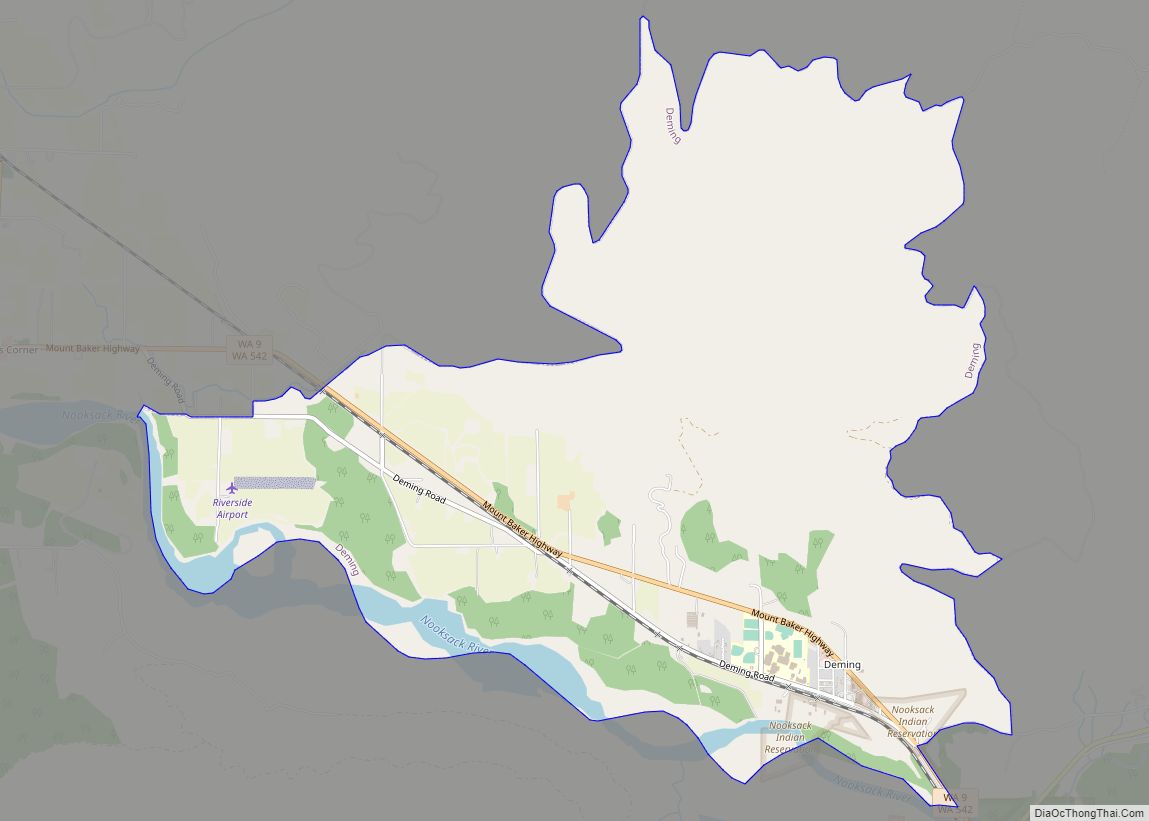
Deming is a census-designated place (CDP) in Whatcom County, Washington, United States, along the Nooksack River. It is named for its first postmaster, George Deming. The community population was 353 at the 2010 census. Located about 16.3 miles from the county seat and major city of Bellingham, this small community is home to the tribal ... Read more
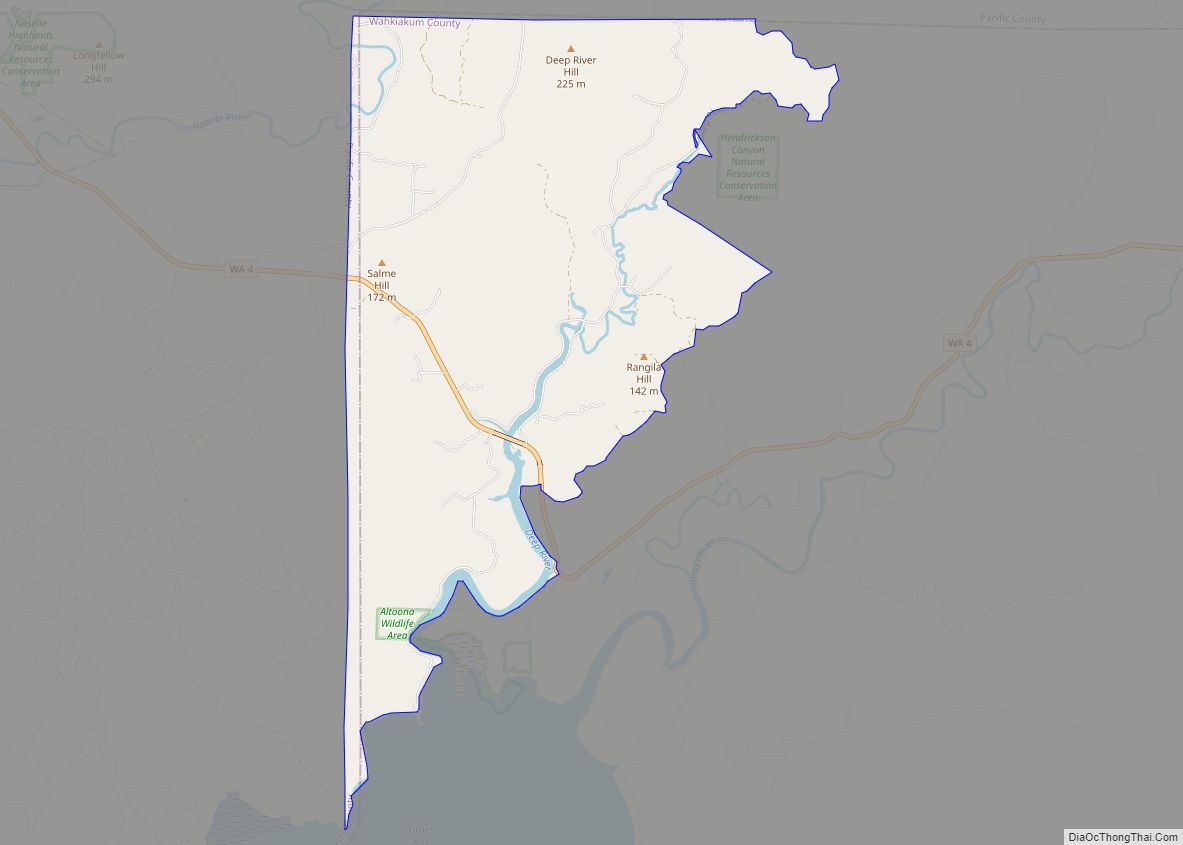
Deep River is a census-designated place (CDP) in Wahkiakum County, Washington, northwest of the town of Cathlamet and east of the city of Long Beach. In 2020, the population was estimated to be 159. It is the current residence of Krist Novoselic, the bassist for early 1990s grunge rock band, Nirvana. The CDP includes the ... Read more
Dayton is a city in and the county seat of Columbia County, Washington, United States. The population was 2,526 at the 2010 census. Dayton city overview: Name: Dayton city LSAD Code: 25 LSAD Description: city (suffix) State: Washington County: Columbia County Elevation: 1,660 ft (506 m) Total Area: 1.44 sq mi (3.73 km²) Land Area: 1.44 sq mi (3.73 km²) Water Area: 0.00 sq mi ... Read more
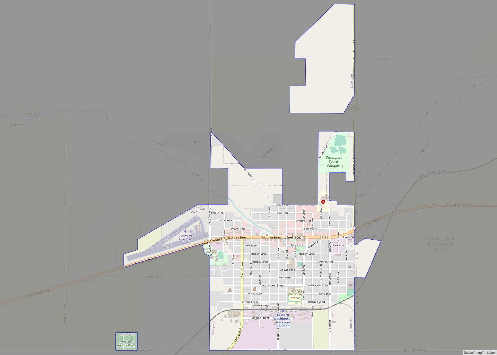
Davenport is the county seat of and largest city in Lincoln County, Washington, United States. The population was 1,703 at the 2020 census. As the seat of government for the county and its largest population center, Davenport serves as an important hub for business, medical and educational services in Lincoln County. Davenport city overview: Name: ... Read more
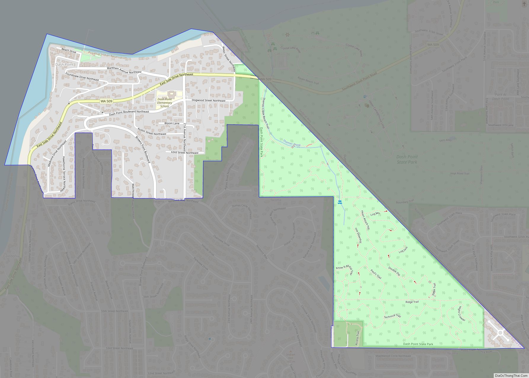
Dash Point is an unincorporated community in Pierce County, Washington, United States. Because it is not incorporated, no census population figures are available. Dash Point is a residential area surrounded by Puget Sound to the north, Dash Point State Park to the east, and the city of Tacoma to the south and west. Dash Point ... Read more
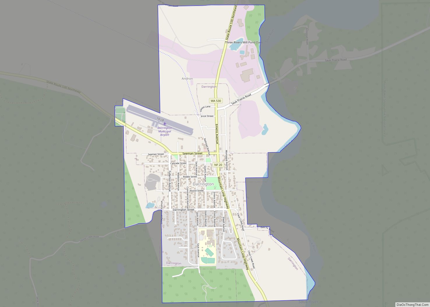
Darrington town overview: Name: Darrington town LSAD Code: 43 LSAD Description: town (suffix) State: Washington County: Snohomish County FIPS code: 5316690 Online Interactive Map Darrington online map. Source: Basemap layers from Google Map, Open Street Map (OSM), Arcgisonline, Wmflabs. Boundary Data from Database of Global Administrative Areas. Darrington location map. Where is Darrington town? Darrington ... Read more
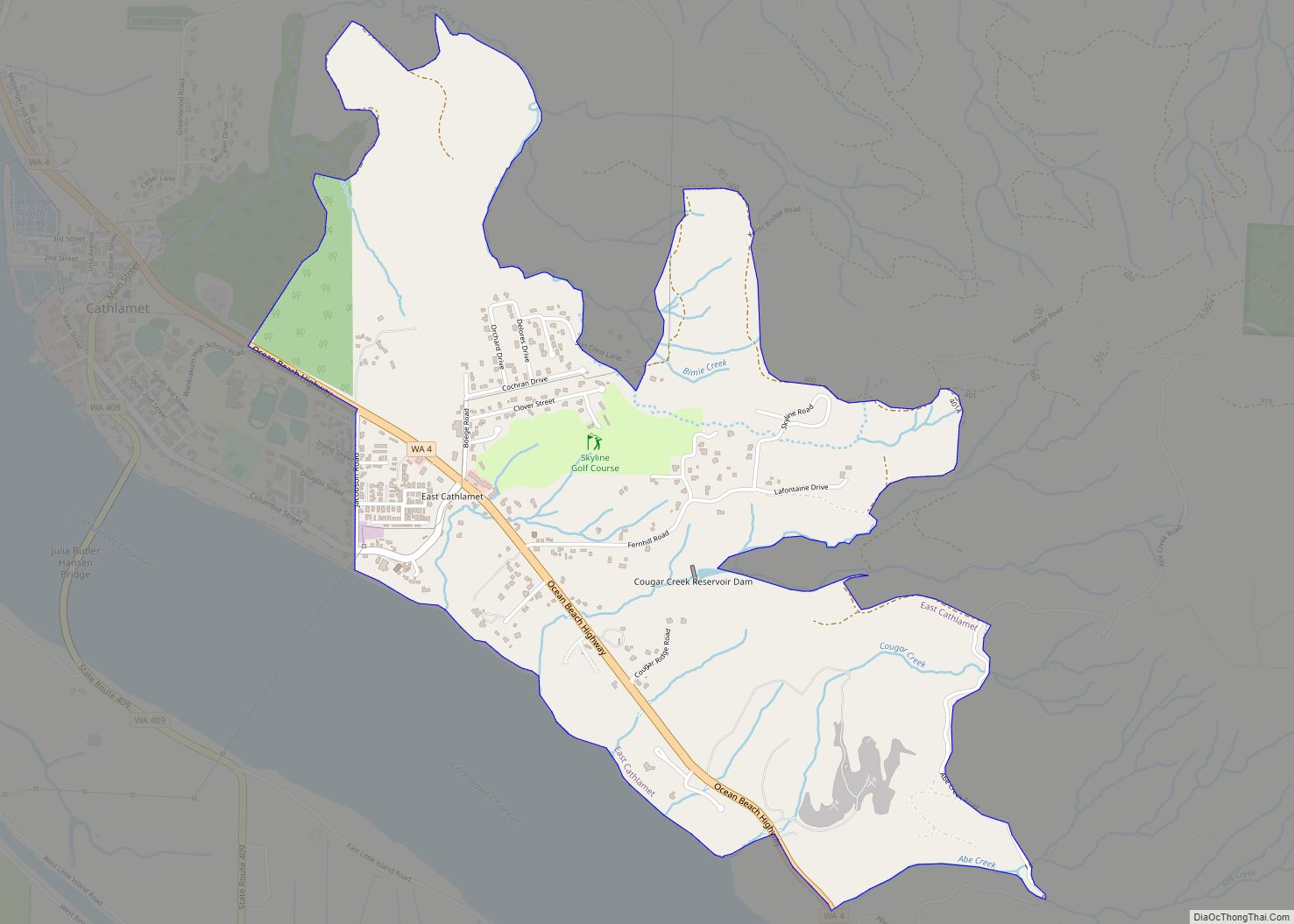
East Cathlamet is a census-designated place (CDP) in Wahkiakum County, Washington, on the eastern border of the town of Cathlamet. The population was 491 as of the 2010 census. The East Cathlamet community is part of the Wahkiakum School District, a K-12 school district of about 430 students. The name “Kathlamet” (Cathlamet) comes from the ... Read more
