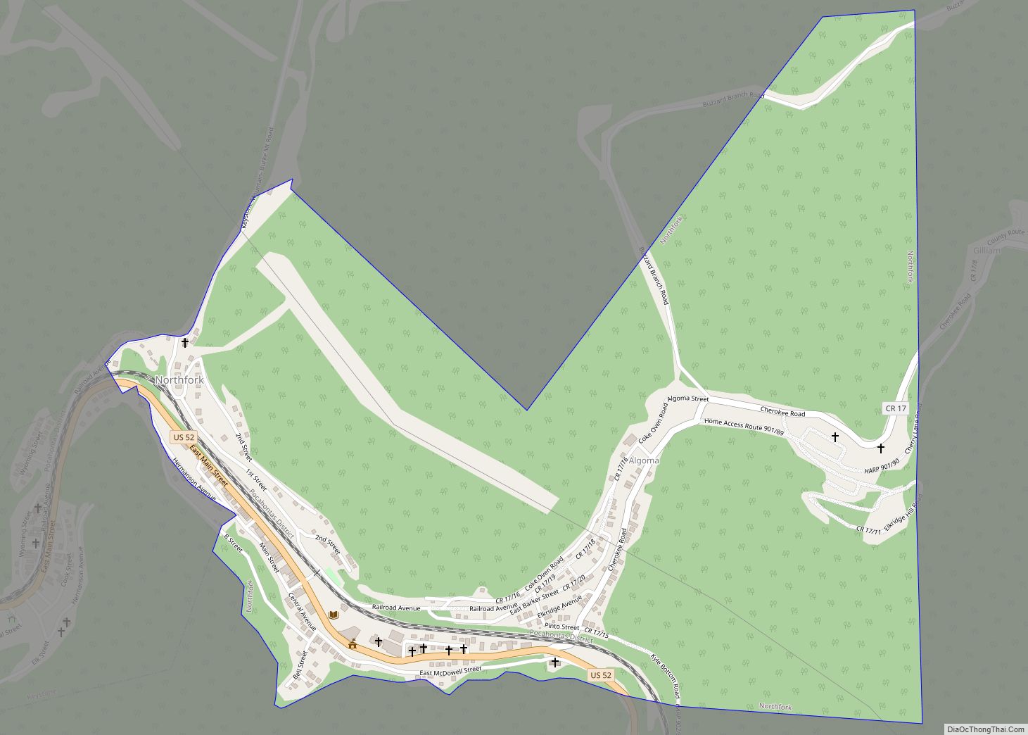
Map of Page CDP, West Virginia
Page is a census-designated place (CDP) and coal town in Fayette County, West Virginia, United States. As of the 2010 census, its population was 224. It was named for William Nelson Page (1854-1932), a civil engineer and industrialist who lived in nearby Ansted, where he managed Gauley Mountain Coal Company and many iron, coal, and ... Read more
Map of Page CDP, West Virginia
Map of Nettie CDP
Nettie is a census-designated place (CDP) in Nicholas County, West Virginia, United States. Nettie is the location of the southern convergence of state routes 20 and 39. As of the 2020 census, its population was 494. Nettie CDP overview: Name: Nettie CDP LSAD Code: 57 LSAD Description: CDP (suffix) State: West Virginia County: Nicholas County ... Read more
Map of Nettie CDP
Map of Omar CDP
Omar is an unincorporated community and census-designated place (CDP) in Logan County, West Virginia, United States. Omar is located along West Virginia Route 44 and Island Creek, 6.5 miles (10.5 km) south of Logan. Omar has a post office with ZIP code 25638. As of the 2010 census, its population was 552. The community was named ... Read more
Map of Omar CDP
Map of Oceana town
Oceana is a town in Wyoming County, West Virginia. The population was 1,462 at the time of the 2020 census. Oceana is the oldest city in Wyoming County and was the county seat until 1907. Oceana was the eponym of the film Oxyana. The town has a town hall and a local police department. It ... Read more
Map of Oceana town
Map of Pickens CDP, West Virginia
Pickens is a census-designated place (CDP) in Randolph County, West Virginia, United States. Pickens is 13 miles (21 km) west-southwest of Huttonsville. It is the home of the Cunningham-Roberts Museum. Pickens has a post office with ZIP code 26230. As of the 2010 census, its population was 66. Pickens had its start in 1892 when the ... Read more
Map of Pickens CDP, West Virginia
Map of Philippi city
Philippi (‘FILL-uh-pea’) is a city in and the county seat of Barbour County, West Virginia, United States, along the Tygart Valley River. The population was 2,929 at the 2020 census. In 1861, the city was the site of the Battle of Philippi, known as the “Philippi Races”. Although a minor skirmish, this is considered the ... Read more
Map of Philippi city
Map of Peterstown town
Peterstown is a town in Monroe County, West Virginia, United States. The population was 456 at the 2020 census. The town was named after Christian Peters, a pioneer settler. The town is the site of the 1928 discovery of the 34.48 carat (6.896 g) Jones Diamond by Grover C. Jones and his son, William “Punch” ... Read more
Map of Peterstown town
Map of Petersburg city, West Virginia
Petersburg is a city in Grant County, West Virginia, United States. The population was 2,251 at the 2020 census. It is the county seat of Grant County. Petersburg city overview: Name: Petersburg city LSAD Code: 25 LSAD Description: city (suffix) State: West Virginia County: Grant County Elevation: 935 ft (285 m) Total Area: 1.62 sq mi (4.19 km²) Land Area: ... Read more
Map of Petersburg city, West Virginia
Map of Pentress CDP
Pentress is a census-designated place (CDP) in northern Monongalia County, West Virginia, United States. It lies along West Virginia Route 7 northwest of the city of Morgantown, the county seat of Monongalia County. Its elevation is 951 feet (290 m). “Pentress” is not the only name the community has had; at various times in its history, it ... Read more
Map of Pentress CDP
Map of Prichard CDP, West Virginia
Prichard is a census-designated place (CDP) in Wayne County, West Virginia, United States. As of the 2020 census, its population was 461. It is located along the Big Sandy River and U.S. Route 52. It is part of the Huntington–Ashland, WV–KY–OH, Metropolitan Statistical Area (MSA), which had a population of 287,702 according to the US ... Read more
Map of Prichard CDP, West Virginia
Map of Pennsboro city
Pennsboro is a city in Ritchie County, West Virginia, United States. The population was 1,050 at the 2020 census. The city is located at the junction of U.S. Route 50 and West Virginia Route 74; the North Bend Rail Trail also passes through the city. The town was platted circa 1820 by Charles Penn, and ... Read more
Map of Pennsboro city
Map of Pratt town, West Virginia
Pratt is a town in Kanawha County, West Virginia, United States, along the Kanawha River. The population was 482 at the 2020 census. Pratt town overview: Name: Pratt town LSAD Code: 43 LSAD Description: town (suffix) State: West Virginia County: Kanawha County Elevation: 633 ft (193 m) Total Area: 0.29 sq mi (0.76 km²) Land Area: 0.29 sq mi (0.74 km²) Water Area: ... Read more
Map of Pratt town, West Virginia