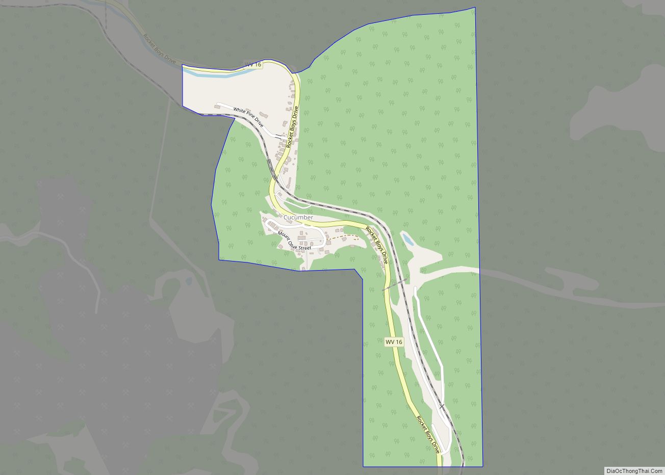
Map of Salem city, West Virginia

Map of Salem city, West Virginia

Salem is a city in Harrison County, West Virginia, United States. The population was 1,485 at the 2020 census. It is located at the junction of U.S. Route 50 and West Virginia Route 23; the North Bend Rail Trail passes through the city. Salem University is located in Salem. Salem city overview: Name: Salem city … Read more

Map of Rupert town, West Virginia

Map of Rupert town, West Virginia

Rupert is a town in Greenbrier County, West Virginia, United States. The population was 881 at the 2020 census. Rupert town overview: Name: Rupert town LSAD Code: 43 LSAD Description: town (suffix) State: West Virginia County: Greenbrier County Elevation: 2,425 ft (739 m) Total Area: 0.78 sq mi (2.03 km²) Land Area: 0.77 sq mi (1.99 km²) Water Area: 0.01 sq mi (0.04 km²) Total Population: … Read more

Map of Rowlesburg town

Map of Rowlesburg town

Rowlesburg is a town in southern Preston County, West Virginia, United States, along the Cheat River. The population was 438 at the 2020 census. It is part of the Morgantown metropolitan area. A former railroad town, it is home to the Downtown Rowlesburg Historic District, and was the site of action during the American Civil … Read more

Map of Rossmore CDP

Map of Rossmore CDP

Rossmore is an unincorporated community and census-designated place (CDP) in Logan County, West Virginia, United States, along West Virginia Route 44 and Island Creek. Its population was 301 as of the 2010 census. Rossmore CDP overview: Name: Rossmore CDP LSAD Code: 57 LSAD Description: CDP (suffix) State: West Virginia County: Logan County Elevation: 728 ft (222 m) … Read more

Map of Ronceverte city

Map of Ronceverte city

Ronceverte is a city in Greenbrier County, West Virginia, United States, on the Greenbrier River. The population was 1,572 at the 2020 census. Ronceverte city overview: Name: Ronceverte city LSAD Code: 25 LSAD Description: city (suffix) State: West Virginia County: Greenbrier County Incorporated: 1882 Elevation: 1,723 ft (525 m) Total Area: 1.73 sq mi (4.48 km²) Land Area: 1.70 sq mi (4.41 km²) … Read more

Map of Sissonville CDP

Map of Sissonville CDP

Sissonville is a census-designated place (CDP) in Kanawha County, West Virginia, United States, along the Pocatalico River. The population was 4,028 at the 2010 census. Sissonville is located within 14 miles of Charleston, the state capital. Sissonville CDP overview: Name: Sissonville CDP LSAD Code: 57 LSAD Description: CDP (suffix) State: West Virginia County: Kanawha County … Read more

Map of Romney city

Map of Romney city

Romney is a town in and the county seat of Hampshire County, West Virginia, United States. The population was 1,722 at the 2020 census. It is part of the Winchester, Virginia metropolitan area. Established in 1762 along with Shepherdstown, they are the oldest towns in West Virginia. Romney city overview: Name: Romney city LSAD Code: … Read more

Map of Shrewsbury CDP, West Virginia

Map of Shrewsbury CDP, West Virginia

Shrewsbury is a census-designated place (CDP) and unincorporated community in Kanawha County, West Virginia, United States. Shrewsbury is located on the north bank of the Kanawha River along U.S. Route 60. As of the 2010 census, its population was 652. Like the nearby community of Dickinson, Shrewsbury was given its name due to the early … Read more

Map of Roderfield CDP

Map of Roderfield CDP

Roderfield is a census-designated place (CDP) in McDowell County, West Virginia, United States. Roderfield is 7 miles (11 km) west-northwest of Welch. Roderfield has a post office with ZIP code 24881. As of the 2010 census, its population is 188. The community was named after Roderfield Iager, the original owner of the town site. Roderfield CDP … Read more

Map of Shinnston city

Map of Shinnston city

Shinnston is a city and former coal town in Harrison County, West Virginia, United States, along the West Fork River. In 1778, Levi Shinn constructed his log home along what is now Route 19; today it is the oldest standing structure in north-central West Virginia. As of the 2020 census, Shinnston had a population of … Read more

Map of Robinette CDP

Map of Robinette CDP

Robinette is an unincorporated community and census-designated place (CDP) in Logan County, West Virginia, United States, along Buffalo Creek. Its population was 663 as of the 2010 census. Prior to 2010, Robinette was part of the Amherstdale-Robinette CDP. Robinette CDP overview: Name: Robinette CDP LSAD Code: 57 LSAD Description: CDP (suffix) State: West Virginia County: … Read more

Map of Shepherdstown town

Map of Shepherdstown town

Shepherdstown is a town in Jefferson County, West Virginia, United States, located in the lower Shenandoah Valley along the Potomac River. Home to Shepherd University, the town’s population was 1,531 at the time of the 2020 census. The town was established in 1762 along with Romney; they are the oldest towns in West Virginia. Shepherdstown … Read more