Fayetteville is a town in and the county seat of Fayette County, West Virginia, United States. The population was 2,892 at the 2010 census.
Fayetteville was listed as one of the 2006 “Top 10 Coolest Small Towns in America” by Budget Travel Magazine, and as “Best River Town 2013” by Blue Ridge Outdoors magazine.
| Name: | Fayetteville town |
|---|---|
| LSAD Code: | 43 |
| LSAD Description: | town (suffix) |
| State: | West Virginia |
| County: | Fayette County |
| Elevation: | 1,818 ft (554 m) |
| Total Area: | 5.58 sq mi (14.46 km²) |
| Land Area: | 5.57 sq mi (14.43 km²) |
| Water Area: | 0.01 sq mi (0.03 km²) |
| Total Population: | 2,892 |
| Population Density: | 488.07/sq mi (188.43/km²) |
| ZIP code: | 25840 |
| Area code: | 304 |
| FIPS code: | 5427028 |
| GNISfeature ID: | 1538910 |
Online Interactive Map
Click on ![]() to view map in "full screen" mode.
to view map in "full screen" mode.
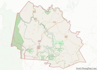
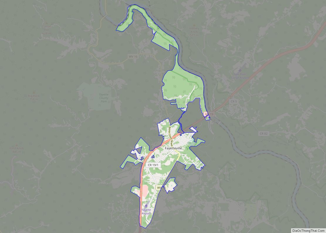
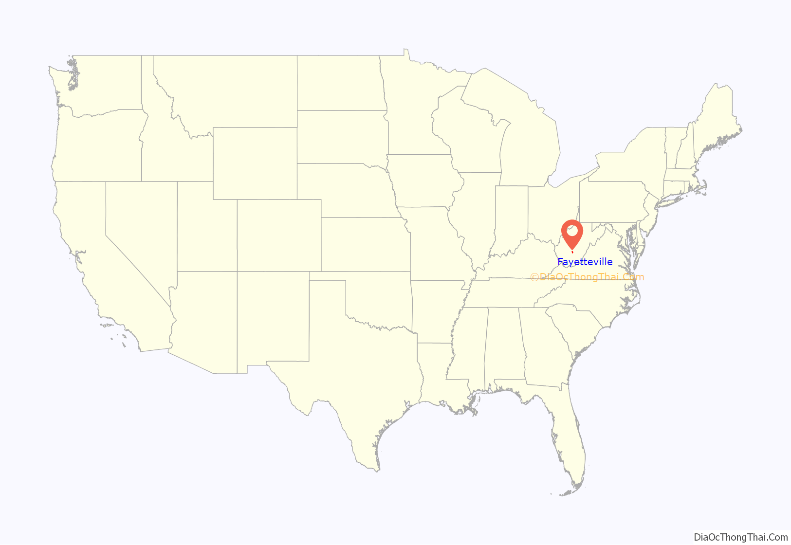
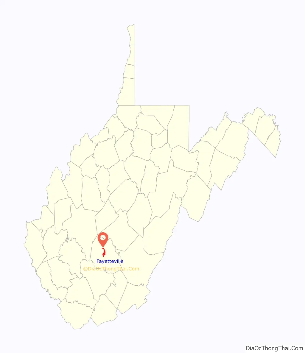
Fayetteville location map. Where is Fayetteville town?
History
Fayetteville was founded as Vandalia by Abraham Vandall, a Revolutionary War veteran and local farmer, on farmland that Vandall owned. In 1837, the county seat of government was moved from New Haven in the Mountain Cove District to Vandalia. Later, the town’s name was changed to Fayetteville after the Revolutionary War hero, Marquis de Lafayette who toured the US in 1824–25.
During the Civil War, the majority of the people in Fayetteville were in sympathy with the Confederacy. With neighboring counties being predominantly Unionist, however, Fayetteville changed hands several times during the war and was partially destroyed during the fighting.
In 1897, the Fayette County Courthouse was completed on part of the original Vandall farm and was a remarkable example of the Romanesque Revival architectural style. The Altamont Hotel was built the same year. Both are listed on the National Register of Historic Places, along with the E. B. Hawkins House. The Fayetteville Historic District was designated in 1990.
Fayetteville grew rapidly in the late 19th century thanks mainly to the coal industry. The mining industry declined in the late 20th century. Fayetteville’s economy now is almost completely based on the tourism industry. Popular activities include white water rafting, fishing, mountain biking, and rock climbing in the region. Also, the New River Gorge Bridge hosts the annual celebration, “Bridge Day,” which is held on the third Saturday of October.
The New River Gorge Bridge is the longest arch bridge in the western hemisphere; its creation made traveling on US 19 much easier, turning a 45-minute sojourn from one side of the gorge to the other into a roughly 45-second jaunt. The New River is one of the five oldest major rivers in the world.
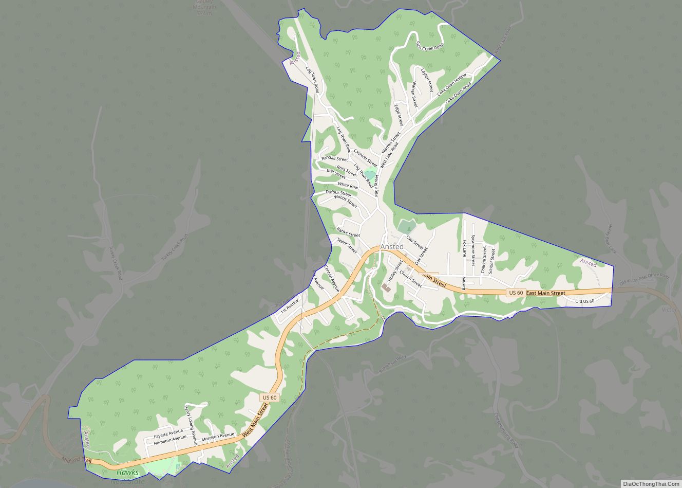
Fayetteville Road Map
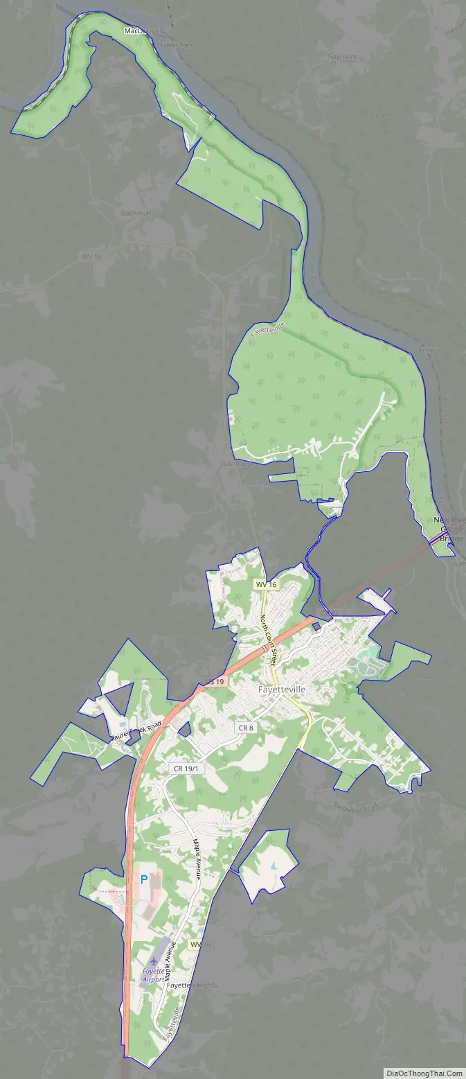
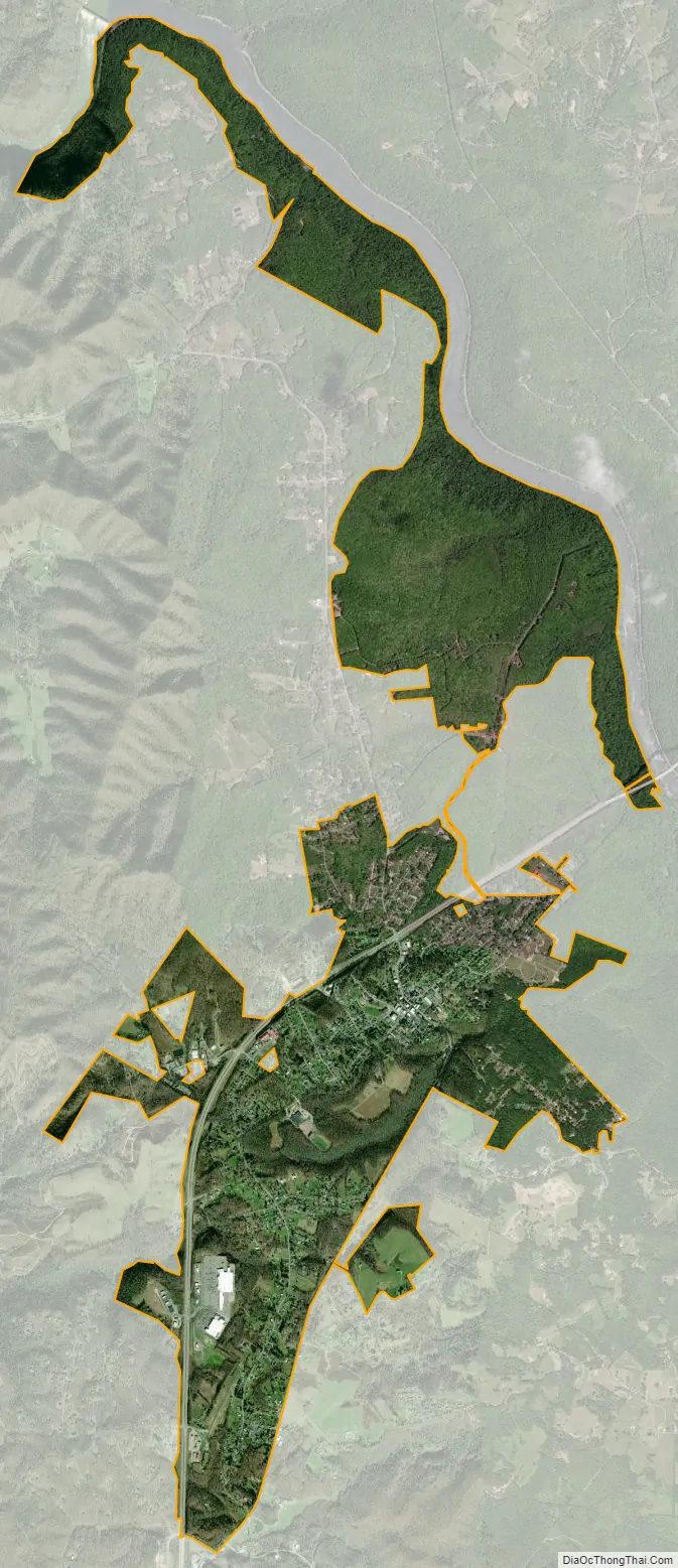
Fayetteville city Satellite Map
Geography
Fayetteville is located at 38°3′4″N 81°6′25″W / 38.05111°N 81.10694°W / 38.05111; -81.10694 (38.051181, -81.106961).
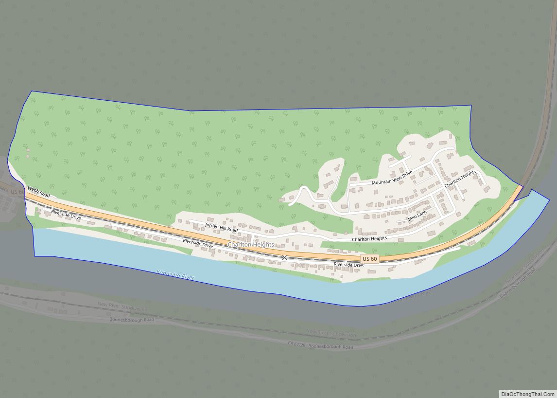
According to the United States Census Bureau, the town has a total area of 5.47 square miles (14.17 km), of which 5.46 square miles (14.14 km) is land and 0.01 square miles (0.03 km) is water.
Located less than a mile away from Fayetteville is the New River Gorge, which attracts outdoor recreation enthusiasts. The scenic cliffs that line the New River Gorge are popular for rock climbing. The New River offers Class I-IV whitewater rafting and kayaking. Hiking and biking trails in the area are also available. The New River Gorge National Park and Preserve, managed by the U.S. National Park Service, operates a visitors center and offers many educational programs in the area.
See also
Map of West Virginia State and its subdivision:- Barbour
- Berkeley
- Boone
- Braxton
- Brooke
- Cabell
- Calhoun
- Clay
- Doddridge
- Fayette
- Gilmer
- Grant
- Greenbrier
- Hampshire
- Hancock
- Hardy
- Harrison
- Jackson
- Jefferson
- Kanawha
- Lewis
- Lincoln
- Logan
- Marion
- Marshall
- Mason
- McDowell
- Mercer
- Mineral
- Mingo
- Monongalia
- Monroe
- Morgan
- Nicholas
- Ohio
- Pendleton
- Pleasants
- Pocahontas
- Preston
- Putnam
- Raleigh
- Randolph
- Ritchie
- Roane
- Summers
- Taylor
- Tucker
- Tyler
- Upshur
- Wayne
- Webster
- Wetzel
- Wirt
- Wood
- Wyoming
- Alabama
- Alaska
- Arizona
- Arkansas
- California
- Colorado
- Connecticut
- Delaware
- District of Columbia
- Florida
- Georgia
- Hawaii
- Idaho
- Illinois
- Indiana
- Iowa
- Kansas
- Kentucky
- Louisiana
- Maine
- Maryland
- Massachusetts
- Michigan
- Minnesota
- Mississippi
- Missouri
- Montana
- Nebraska
- Nevada
- New Hampshire
- New Jersey
- New Mexico
- New York
- North Carolina
- North Dakota
- Ohio
- Oklahoma
- Oregon
- Pennsylvania
- Rhode Island
- South Carolina
- South Dakota
- Tennessee
- Texas
- Utah
- Vermont
- Virginia
- Washington
- West Virginia
- Wisconsin
- Wyoming