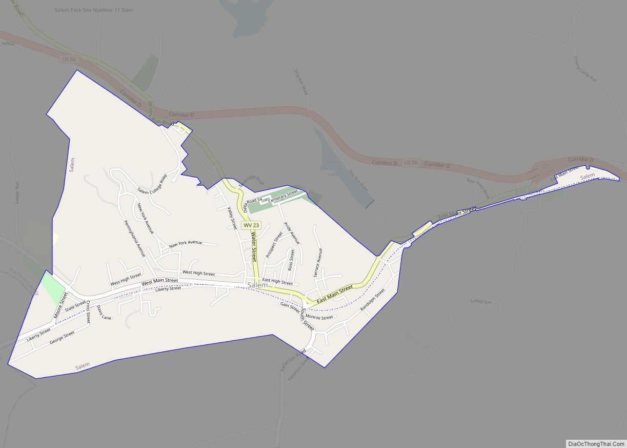
Map of Westover city, West Virginia

Map of Westover city, West Virginia

Westover is a city in Monongalia County, West Virginia, United States, along the Monongahela River. The population was 3,995 at the 2020 census. It is part of the Morgantown metropolitan area. Westover city overview: Name: Westover city LSAD Code: 25 LSAD Description: city (suffix) State: West Virginia County: Monongalia County Elevation: 945 ft (288 m) Total Area: … Read more

Map of Weston city, West Virginia

Map of Weston city, West Virginia

Weston is a city in Lewis County, West Virginia, United States. The population was 3,943 at the 2020 census. It is the county seat of Lewis County, and home to the Museum of American Glass in West Virginia and the Trans-Allegheny Lunatic Asylum. Weston city overview: Name: Weston city LSAD Code: 25 LSAD Description: city … Read more

Map of West Union town, West Virginia

Map of West Union town, West Virginia

West Union, incorporated July 20, 1881, is a town in Doddridge County, West Virginia, United States. The population was 669 at the 2020 census. It is the county seat of Doddridge County. The town is located along Middle Island Creek at the junction of U.S. Route 50 and West Virginia Route 18; the North Bend … Read more

Map of West Milford town

Map of West Milford town

West Milford is a town in Harrison County, West Virginia, United States. The population was 452 at the 2020 census. West Milford was named on account of there being a mill on the ford of the West Fork River. West Milford town overview: Name: West Milford town LSAD Code: 43 LSAD Description: town (suffix) State: … Read more

Map of Worthington town, West Virginia

Map of Worthington town, West Virginia

Worthington is a town in Marion County, West Virginia, United States. The population was 158 at the 2010 census. Worthington was incorporated in 1893 and named for Colonel George Worthington, an early settler. U.S. Route 19 passes through the town. Worthington town overview: Name: Worthington town LSAD Code: 43 LSAD Description: town (suffix) State: West … Read more

Map of Womelsdorf (Coalton) town

Map of Womelsdorf (Coalton) town

Womelsdorf (Coalton) is a town in Randolph County, West Virginia, United States. The population was 190 at the 2020 census. Womelsdorf was the name of a mining official; the variant name of Coalton was given on account of local mining operations. Womelsdorf (Coalton) town overview: Name: Womelsdorf (Coalton) town LSAD Code: 43 LSAD Description: town … Read more

Map of Wolf Summit CDP

Map of Wolf Summit CDP

Wolf Summit is a census-designated place and coal town in Harrison County, West Virginia, United States. Its population was 272 as of the 2010 census. The community was named after the surname Wolf and its being the highest point on the railroad between Grafton and Parkersburg. Wolf Summit CDP overview: Name: Wolf Summit CDP LSAD … Read more

Map of Winfield town, West Virginia

Map of Winfield town, West Virginia

Winfield is a city in and the county seat of Putnam County, West Virginia, United States, located along the Kanawha River. The population was 2,397 at the 2020 census. It is part of the Huntington–Ashland metropolitan area. Winfield town overview: Name: Winfield town LSAD Code: 43 LSAD Description: town (suffix) State: West Virginia County: Putnam … Read more