Washington is a census-designated place (CDP) in Wood County, West Virginia, United States, situated along the Ohio River. It is part of the Parkersburg–Marietta–Vienna, WV-OH Metropolitan Statistical Area. The population was 1,175 at the 2010 census. The community was named after George Washington.
The CDP is home to the Washington Works, one of the largest single facilities of chemicals manufacturing giant Chemours.
Also home to Sabic Plastics Washington Works (previously GE Plastics, acquired from Borg Warner Plastics, née Marbon), Kuraray Washington Works, Dupont Washington Works and a Linde air separation plant. Dupont polluted Washington with Perfluorooctanoic acid or PFOA, which it used to make Teflon.
Leo Lech from “Worst Cooks in America” Season 18 is from Washington.
| Name: | Washington CDP |
|---|---|
| LSAD Code: | 57 |
| LSAD Description: | CDP (suffix) |
| State: | West Virginia |
| County: | Wood County |
| Elevation: | 643 ft (196 m) |
| Total Area: | 4.4 sq mi (11.3 km²) |
| Land Area: | 4.2 sq mi (10.8 km²) |
| Water Area: | 0.2 sq mi (0.6 km²) |
| Total Population: | 1,175 |
| Population Density: | 270/sq mi (100/km²) |
| ZIP code: | 26181 |
| Area code: | 304 |
| FIPS code: | 5484724 |
| GNISfeature ID: | 1548816 |
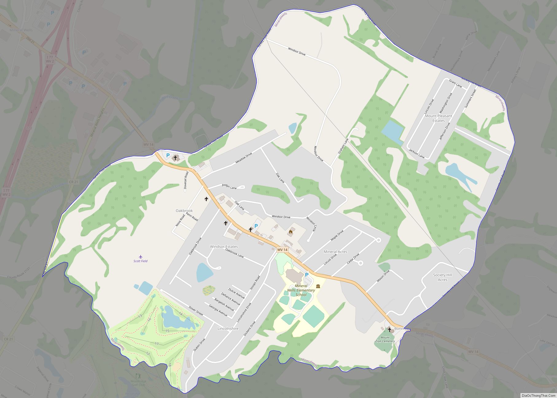
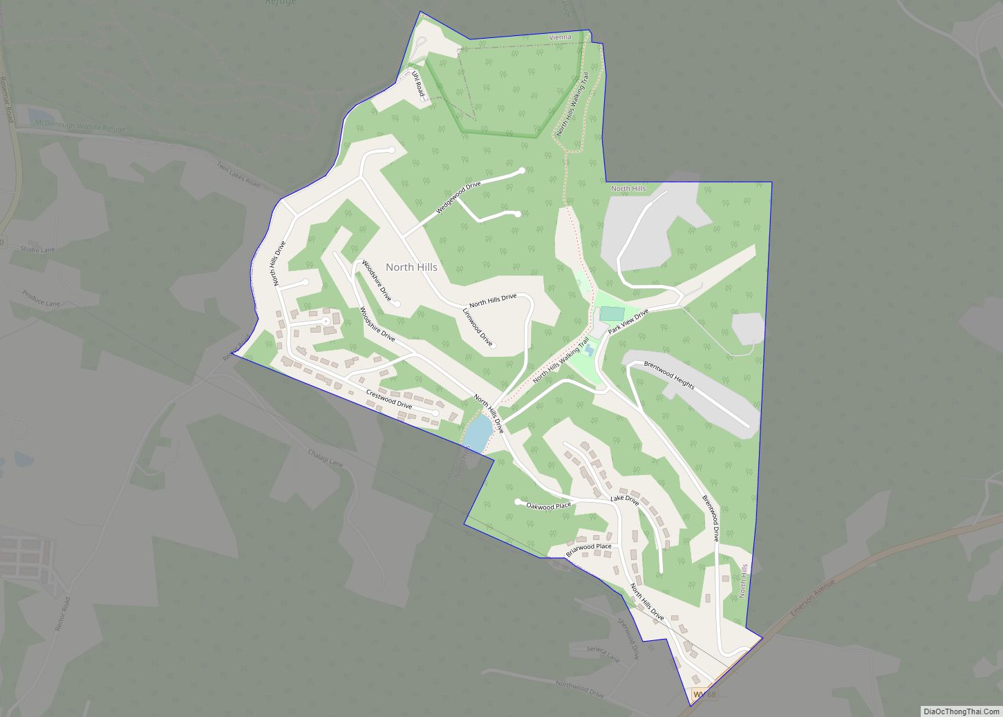
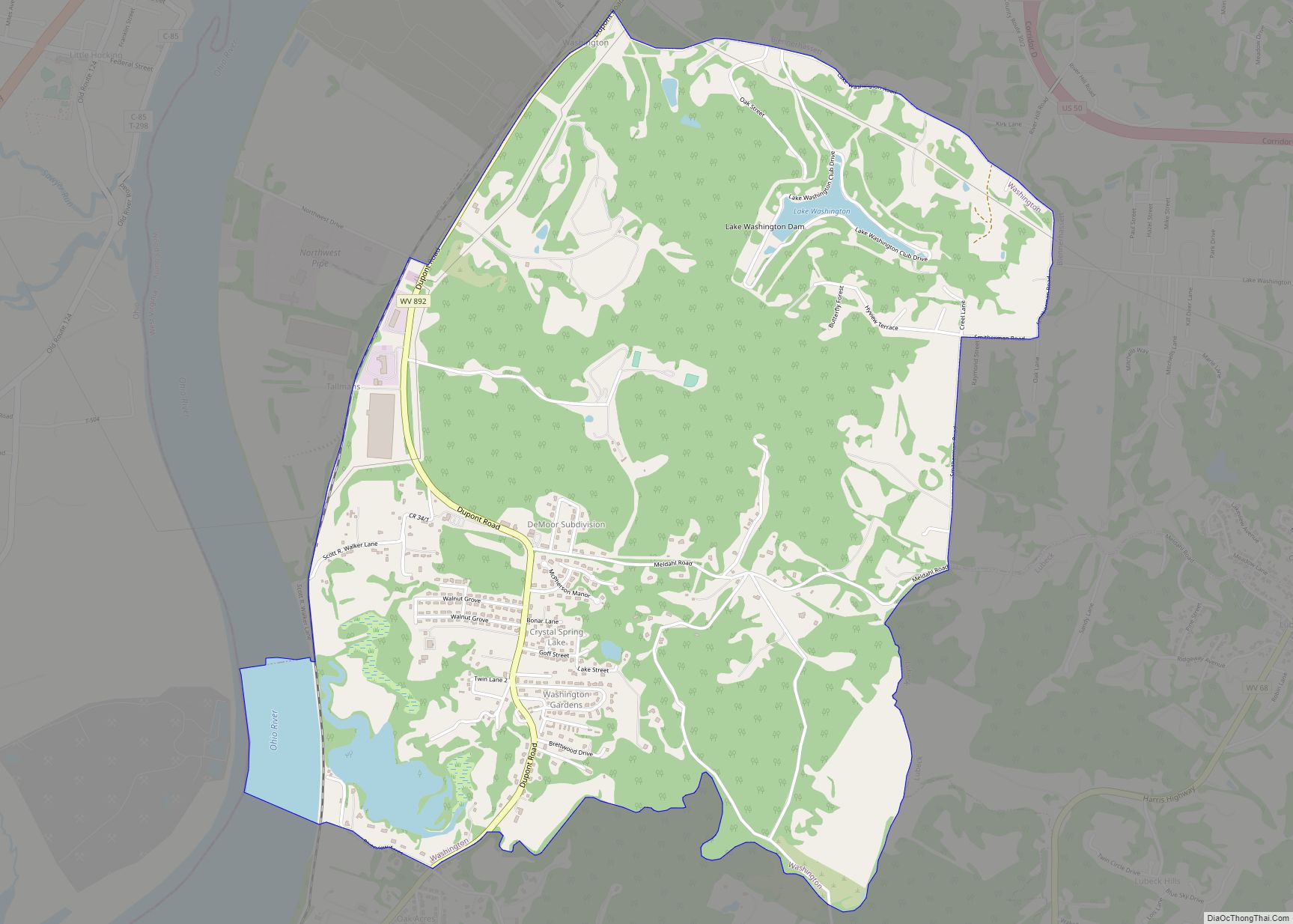
Online Interactive Map
Click on ![]() to view map in "full screen" mode.
to view map in "full screen" mode.
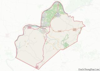
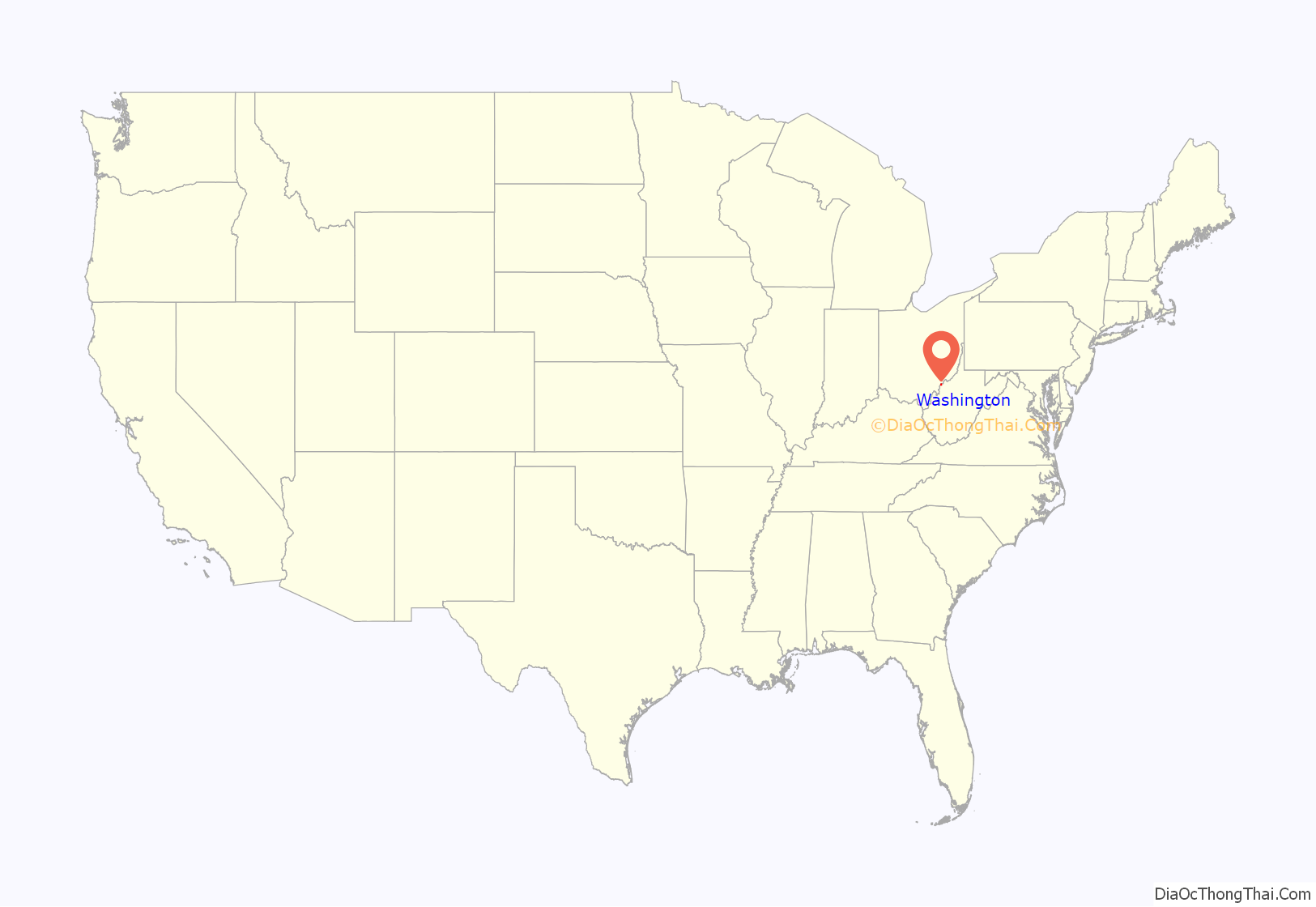
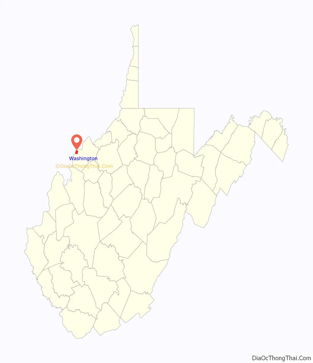
Washington location map. Where is Washington CDP?
History
A commemorative marker located near the Washington, WV, post office reads;
“George Washington acquired 2,314 acres of this land in Washington Bottom by a grant, dated December 15, 1772, issued to him by John Murray, Earl of Dunmore, last Royal Governor of Virginia. Washington obtained this tract for services in the French and Indian War, upon a survey made by William Crawford, in June 1771. It borders on the Ohio River five miles and one hundred and twenty poles. Erected by the State of West Virginia 1932″
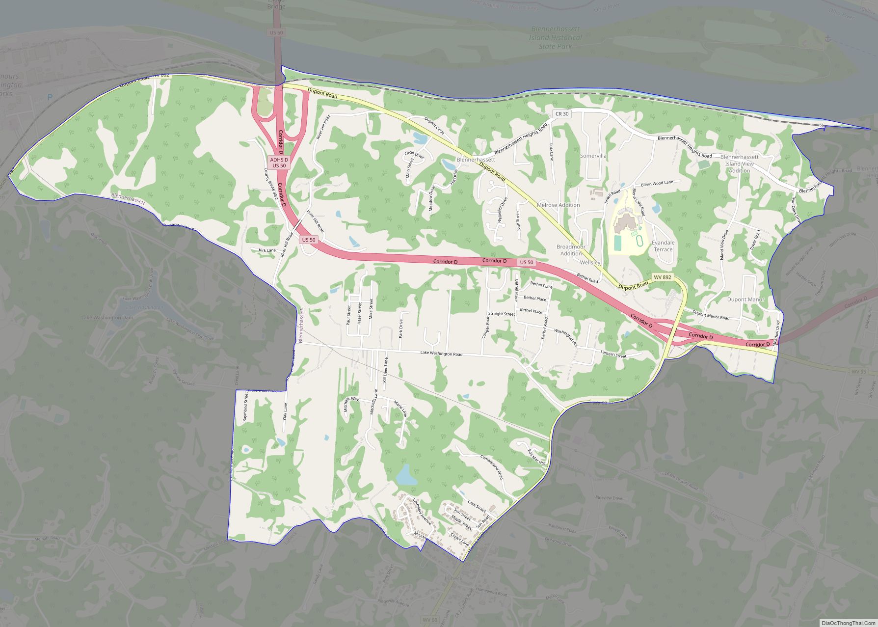
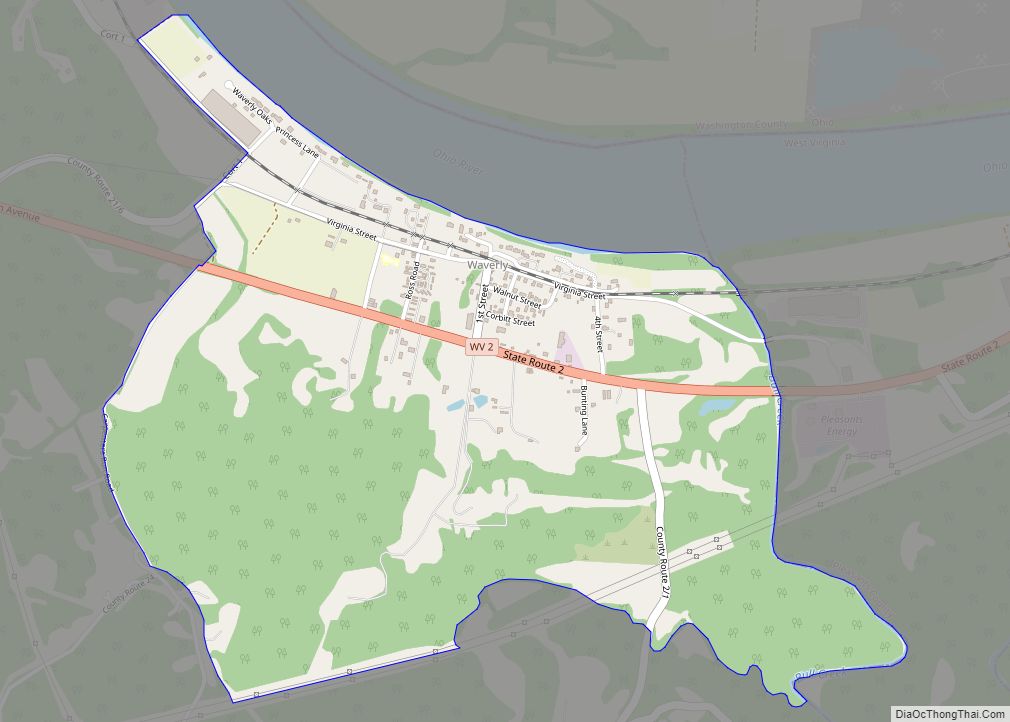
Washington Road Map

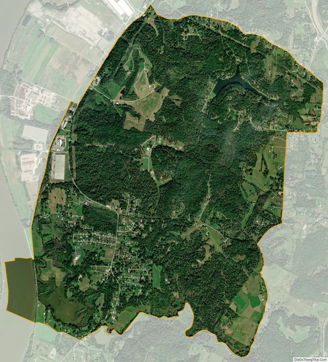
Washington city Satellite Map
Geography
Washington is located at 39°14′17″N 81°40′14″W / 39.23806°N 81.67056°W / 39.23806; -81.67056 (39.237991, -81.670477).
According to the United States Census Bureau, the CDP has a total area of 4.4 square miles (11.3 km), of which 4.2 square miles (10.8 km) is land and 0.2 square mile (0.6 km) (5.13%) is water.
See also
Map of West Virginia State and its subdivision:- Barbour
- Berkeley
- Boone
- Braxton
- Brooke
- Cabell
- Calhoun
- Clay
- Doddridge
- Fayette
- Gilmer
- Grant
- Greenbrier
- Hampshire
- Hancock
- Hardy
- Harrison
- Jackson
- Jefferson
- Kanawha
- Lewis
- Lincoln
- Logan
- Marion
- Marshall
- Mason
- McDowell
- Mercer
- Mineral
- Mingo
- Monongalia
- Monroe
- Morgan
- Nicholas
- Ohio
- Pendleton
- Pleasants
- Pocahontas
- Preston
- Putnam
- Raleigh
- Randolph
- Ritchie
- Roane
- Summers
- Taylor
- Tucker
- Tyler
- Upshur
- Wayne
- Webster
- Wetzel
- Wirt
- Wood
- Wyoming
- Alabama
- Alaska
- Arizona
- Arkansas
- California
- Colorado
- Connecticut
- Delaware
- District of Columbia
- Florida
- Georgia
- Hawaii
- Idaho
- Illinois
- Indiana
- Iowa
- Kansas
- Kentucky
- Louisiana
- Maine
- Maryland
- Massachusetts
- Michigan
- Minnesota
- Mississippi
- Missouri
- Montana
- Nebraska
- Nevada
- New Hampshire
- New Jersey
- New Mexico
- New York
- North Carolina
- North Dakota
- Ohio
- Oklahoma
- Oregon
- Pennsylvania
- Rhode Island
- South Carolina
- South Dakota
- Tennessee
- Texas
- Utah
- Vermont
- Virginia
- Washington
- West Virginia
- Wisconsin
- Wyoming