Vienna (/viˈɛnə/) is a city in Wood County, West Virginia, United States, situated along the Ohio River. The population was 10,676 at the 2020 census. It is the second-largest city in the Parkersburg–Vienna metropolitan area.
| Name: | Vienna city |
|---|---|
| LSAD Code: | 25 |
| LSAD Description: | city (suffix) |
| State: | West Virginia |
| County: | Wood County |
| Elevation: | 636 ft (194 m) |
| Total Area: | 3.97 sq mi (10.28 km²) |
| Land Area: | 3.97 sq mi (10.28 km²) |
| Water Area: | 0.00 sq mi (0.00 km²) |
| Total Population: | 10,676 |
| Population Density: | 2,551.41/sq mi (985.19/km²) |
| ZIP code: | 26101, 26105 |
| Area code: | 304 |
| FIPS code: | 5483500 |
| GNISfeature ID: | 1555890 |
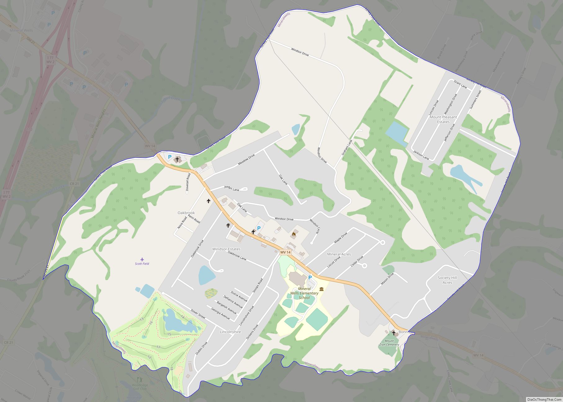
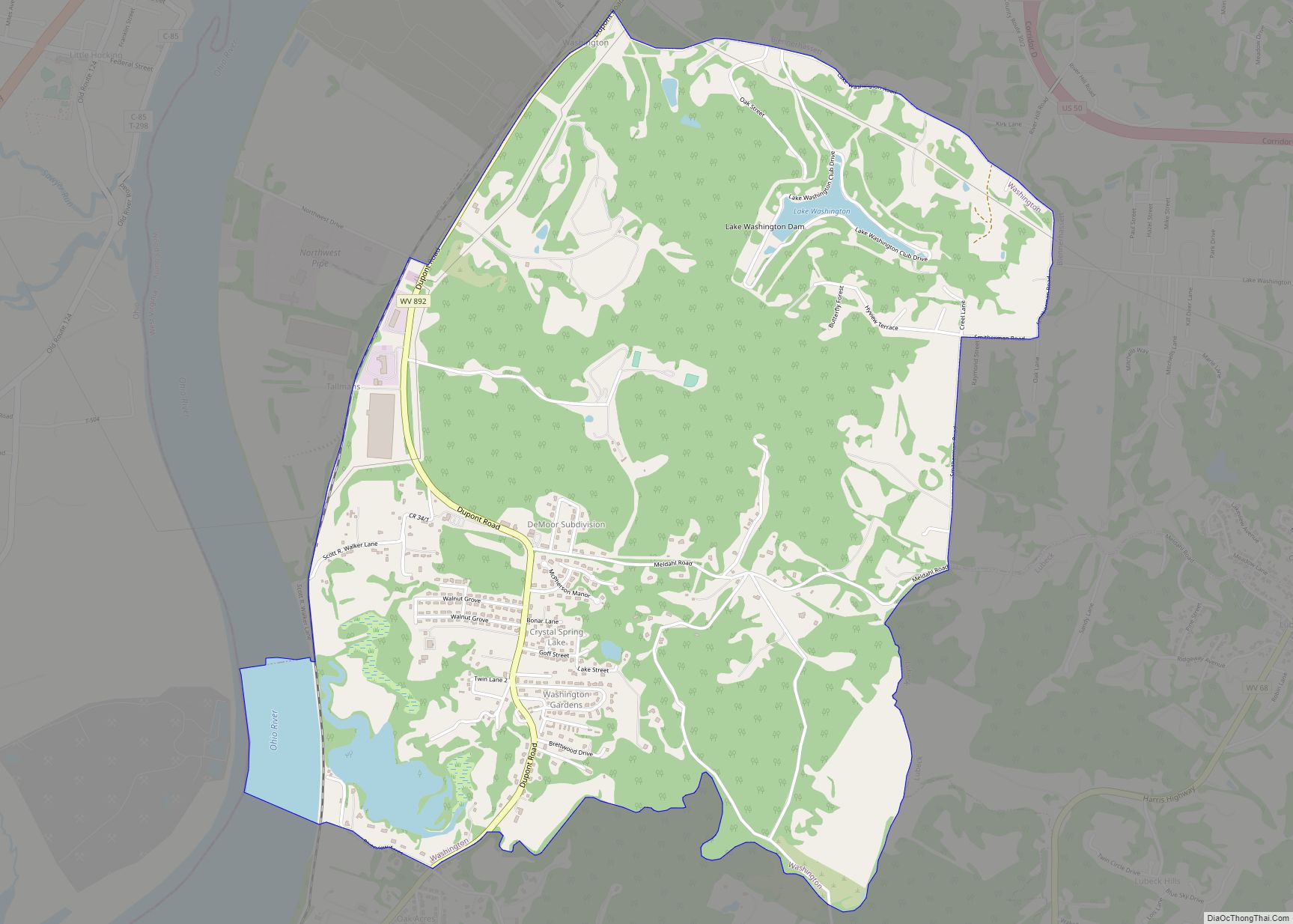
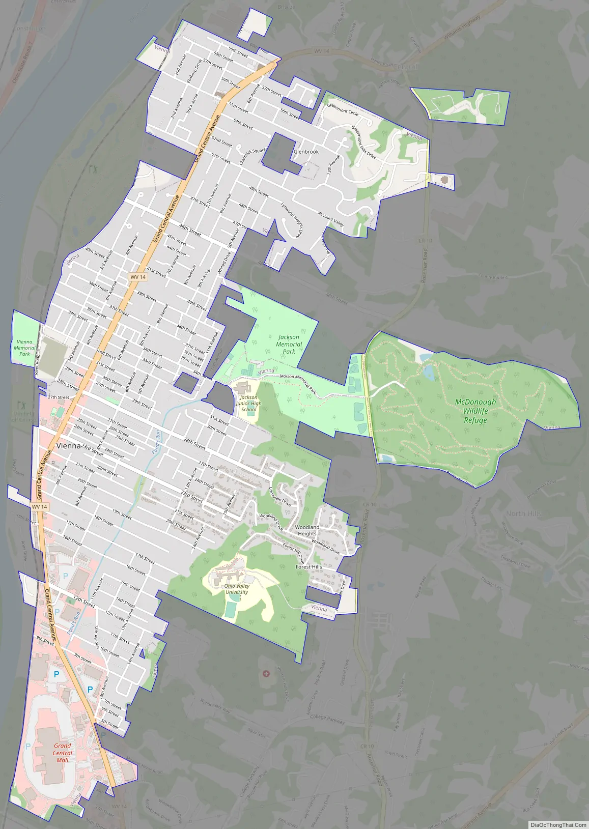
Online Interactive Map
Click on ![]() to view map in "full screen" mode.
to view map in "full screen" mode.
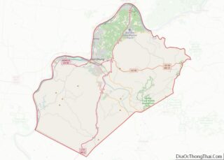
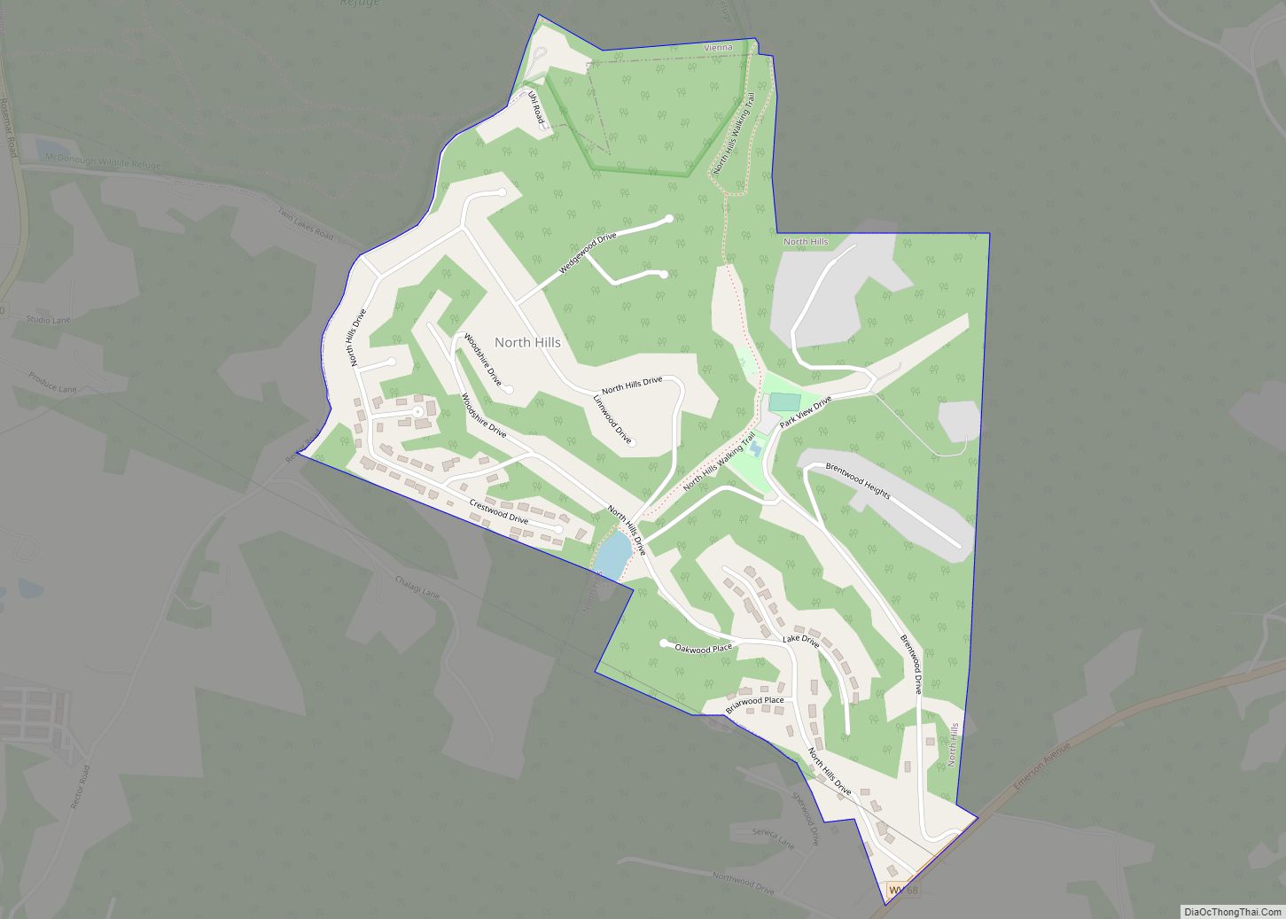
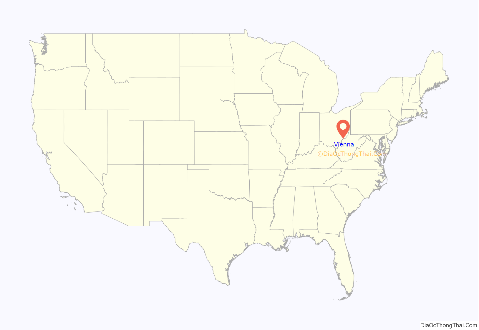
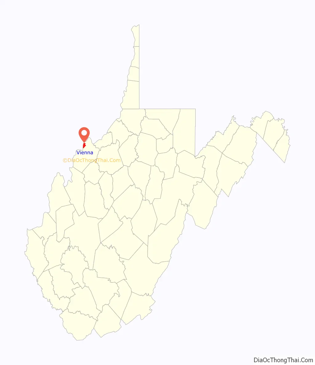
Vienna location map. Where is Vienna city?
History
In 1794, Joseph Spencer gave the city its name. Spencer served as an aide de camp to his father during the American Revolutionary War. It began as a 5,000-acre settlement, a grant to Spencer for his services during the war. Charles R. Blair was Vienna’s first mayor after it was incorporated in 1935. Vienna was known for Vitrolite production until the 1940s.
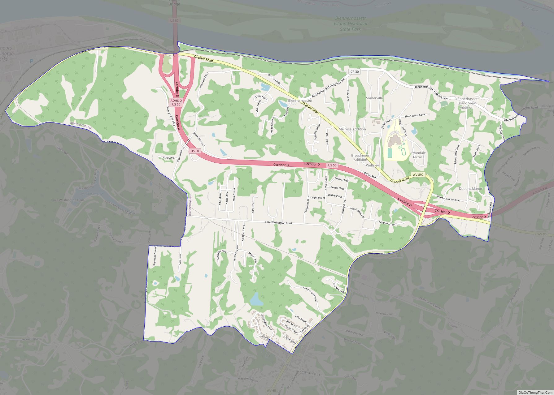
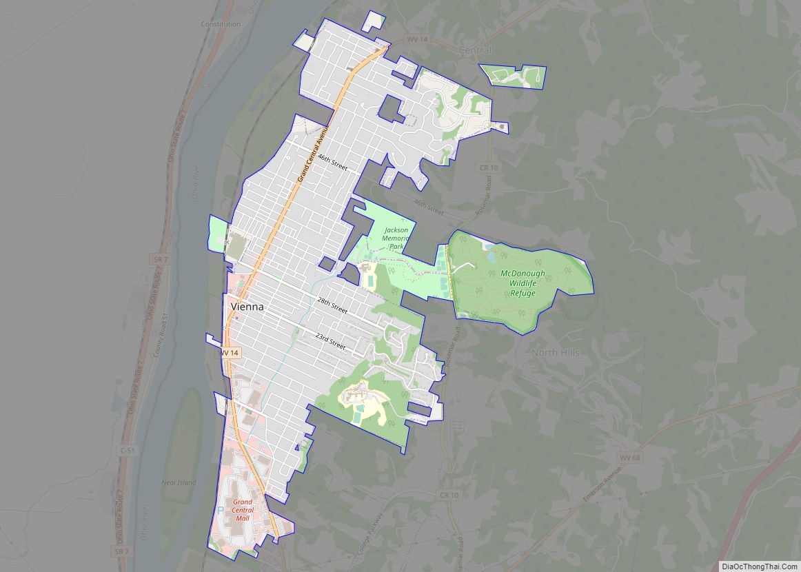
Vienna Road Map
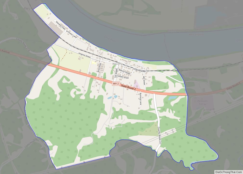
Vienna city Satellite Map

Geography
Vienna is located at 39°19′31″N 81°32′34″W / 39.32528°N 81.54278°W / 39.32528; -81.54278 (39.325324, −81.542845).
According to the United States Census Bureau, the city has a total area of 3.79 square miles (9.82 km), all land.
See also
Map of West Virginia State and its subdivision:- Barbour
- Berkeley
- Boone
- Braxton
- Brooke
- Cabell
- Calhoun
- Clay
- Doddridge
- Fayette
- Gilmer
- Grant
- Greenbrier
- Hampshire
- Hancock
- Hardy
- Harrison
- Jackson
- Jefferson
- Kanawha
- Lewis
- Lincoln
- Logan
- Marion
- Marshall
- Mason
- McDowell
- Mercer
- Mineral
- Mingo
- Monongalia
- Monroe
- Morgan
- Nicholas
- Ohio
- Pendleton
- Pleasants
- Pocahontas
- Preston
- Putnam
- Raleigh
- Randolph
- Ritchie
- Roane
- Summers
- Taylor
- Tucker
- Tyler
- Upshur
- Wayne
- Webster
- Wetzel
- Wirt
- Wood
- Wyoming
- Alabama
- Alaska
- Arizona
- Arkansas
- California
- Colorado
- Connecticut
- Delaware
- District of Columbia
- Florida
- Georgia
- Hawaii
- Idaho
- Illinois
- Indiana
- Iowa
- Kansas
- Kentucky
- Louisiana
- Maine
- Maryland
- Massachusetts
- Michigan
- Minnesota
- Mississippi
- Missouri
- Montana
- Nebraska
- Nevada
- New Hampshire
- New Jersey
- New Mexico
- New York
- North Carolina
- North Dakota
- Ohio
- Oklahoma
- Oregon
- Pennsylvania
- Rhode Island
- South Carolina
- South Dakota
- Tennessee
- Texas
- Utah
- Vermont
- Virginia
- Washington
- West Virginia
- Wisconsin
- Wyoming