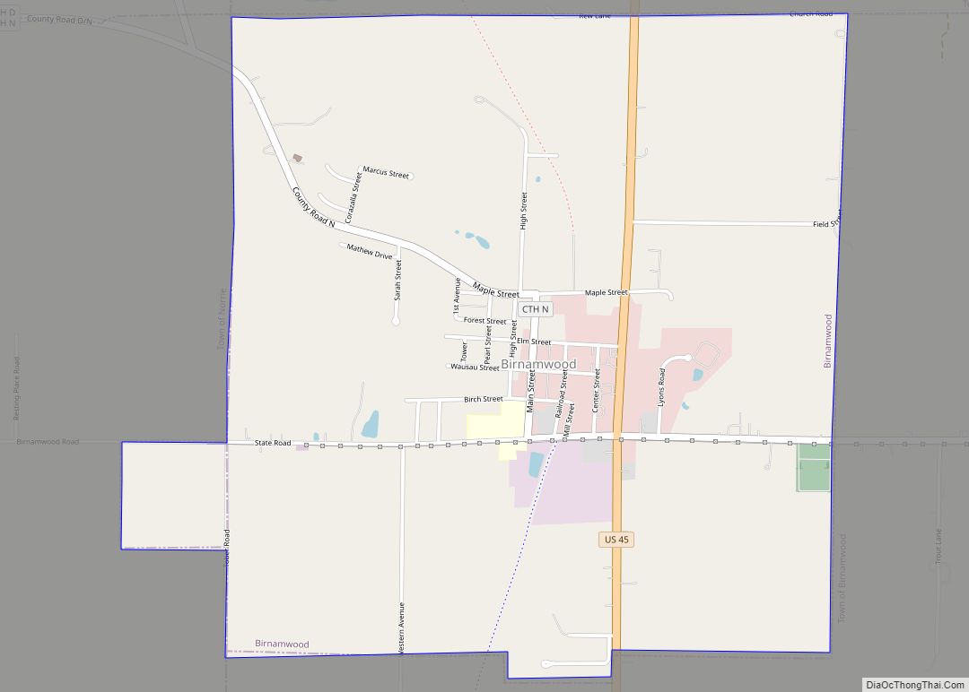
Birnamwood is a village in Marathon and Shawano counties in the U.S. state of Wisconsin. It is part of the Wausau, Wisconsin Metropolitan Statistical Area. The population was 818 at the 2010 census. Of this, 802 were in Shawano County, and 16 were in Marathon County. The village is located mostly within the town of ... Read more
Wisconsin Cities and Places
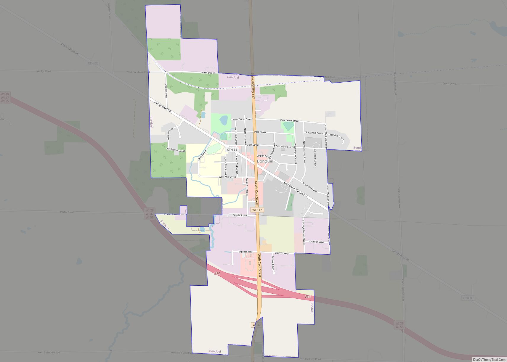
Bonduel is a village in Shawano County, Wisconsin, United States. The population was 1,478 at the 2010 census. Bonduel village overview: Name: Bonduel village LSAD Code: 47 LSAD Description: village (suffix) State: Wisconsin County: Shawano County Elevation: 889 ft (271 m) Total Area: 2.26 sq mi (5.85 km²) Land Area: 2.26 sq mi (5.84 km²) Water Area: 0.00 sq mi (0.01 km²) Total Population: 1,478 Population ... Read more
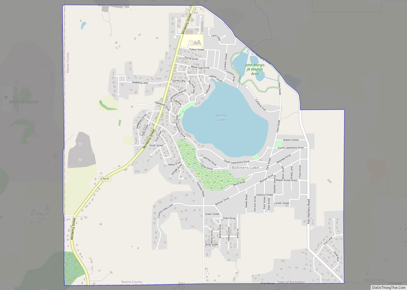
Bohners Lake is a census-designated place (CDP) in Racine County, Wisconsin, United States. Its first syllable is pronounced as in “bone”. The population of the CDP was 2,374 at the 2020 census. It is politically part of the Town of Burlington, together with Browns Lake, Wisconsin. There has been discussion of incorporating Bohners Lake as ... Read more
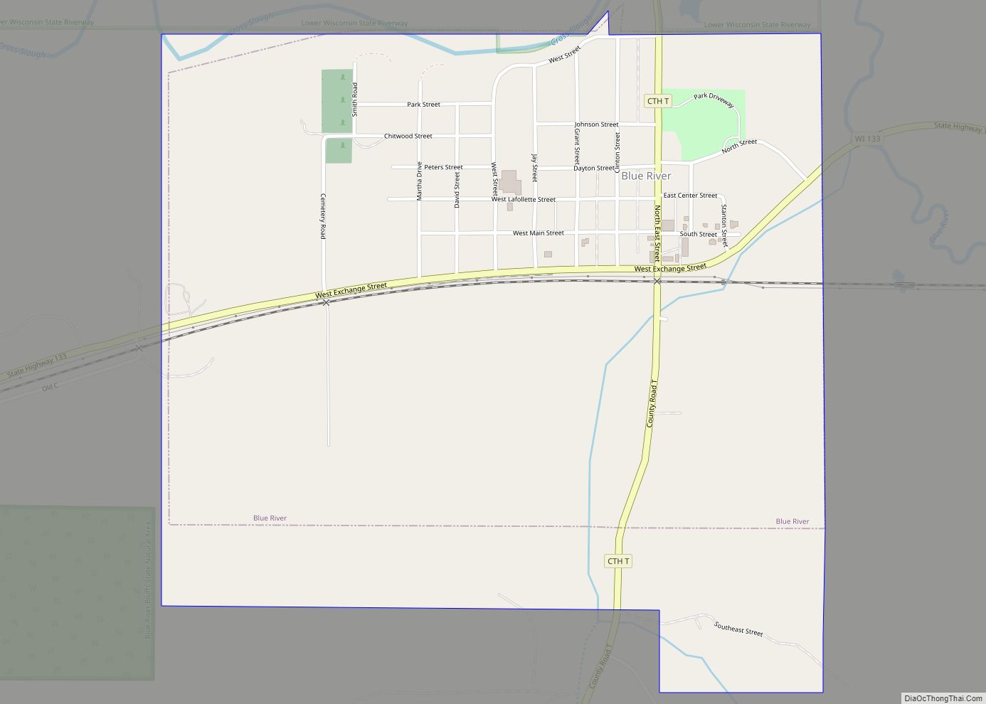
Blue River is a village in Grant County, Wisconsin, United States. The population was 434 at the 2010 census. Blue River village overview: Name: Blue River village LSAD Code: 47 LSAD Description: village (suffix) State: Wisconsin County: Grant County Elevation: 663 ft (202 m) Total Area: 0.91 sq mi (2.36 km²) Land Area: 0.91 sq mi (2.36 km²) Water Area: 0.00 sq mi (0.00 km²) Total ... Read more
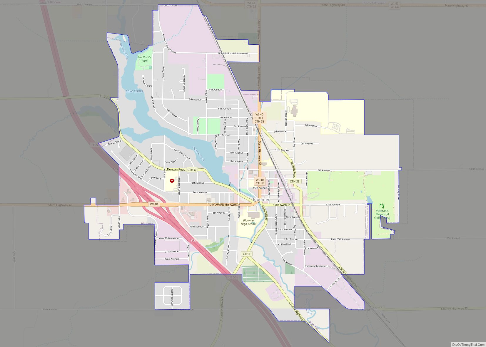
Bloomer is a city in Chippewa County, Wisconsin, United States. As of the 2010 census, the population of the city of Bloomer was 3,539. Bloomer city overview: Name: Bloomer city LSAD Code: 25 LSAD Description: city (suffix) State: Wisconsin County: Chippewa County Elevation: 994 ft (303 m) Total Area: 3.10 sq mi (8.03 km²) Land Area: 2.95 sq mi (7.64 km²) Water Area: ... Read more
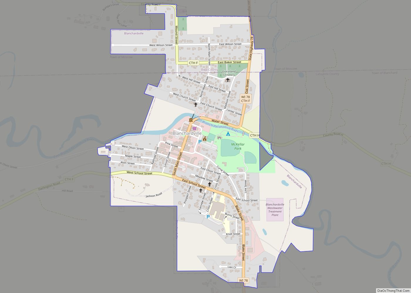
Blanchardville is a village in Iowa and Lafayette counties in the U.S. state of Wisconsin. The population was 825 at the 2010 census. Of this, 648 were in Lafayette County, and 177 were in Iowa County. The Iowa County portion of Blanchardville is part of the Madison Metropolitan Statistical Area. Blanchardville village overview: Name: Blanchardville ... Read more
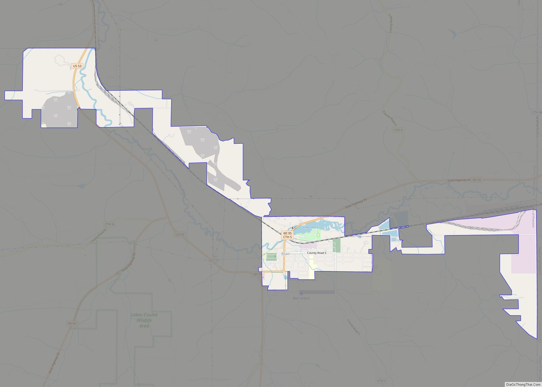
Blair is a city in Trempealeau County, Wisconsin, along the Trempealeau River. The population was 1,366 at the 2010 census. Blair is on the former Green Bay and Western Railroad, which ran down the Trempealeau River valley to Winona, Minnesota. Blair city overview: Name: Blair city LSAD Code: 25 LSAD Description: city (suffix) State: Wisconsin ... Read more
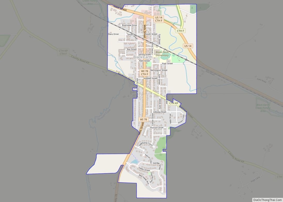
The Town of Black Earth is located in Dane County, Wisconsin, United States. The population was 510 at the 2020 census. Black Earth village overview: Name: Black Earth village LSAD Code: 47 LSAD Description: village (suffix) State: Wisconsin County: Dane County FIPS code: 5507800 Online Interactive Map Black Earth online map. Source: Basemap layers from ... Read more
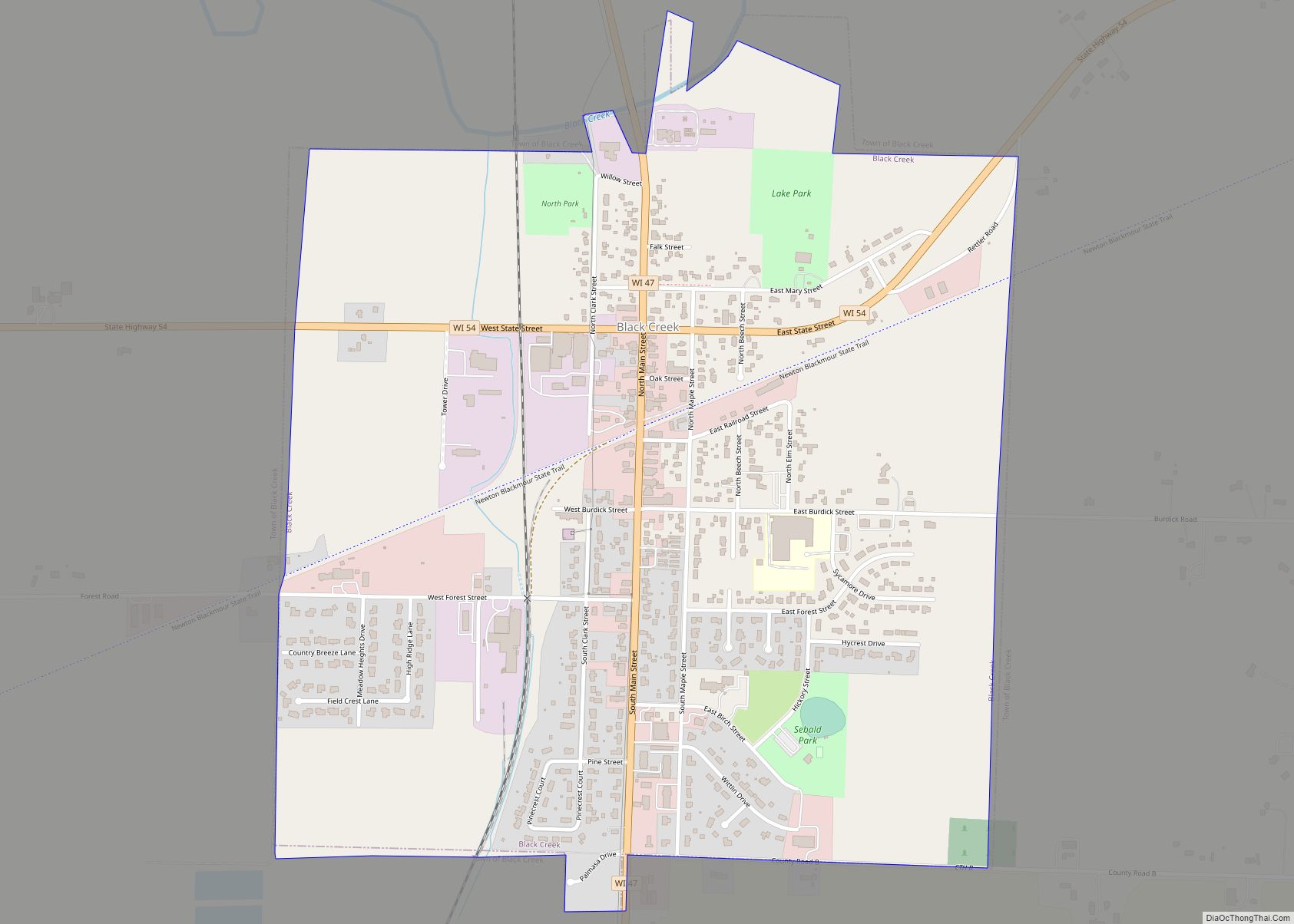
Black Creek is a town in Outagamie County, Wisconsin, United States. The population was 1,251 at the 2020 census. The Village of Black Creek (governed separately) and the unincorporated community of Binghamton are located in the town. The unincorporated community of Five Corners is also located partially in the town. Black Creek village overview: Name: ... Read more
Brule is an unincorporated, census-designated place; located in the town of Brule, Douglas County, Wisconsin, United States. U.S. Highway 2, Wisconsin Highway 27, and County Road H are the main routes in the community of Brule. Brule is located 6.5 miles east-northeast of Lake Nebagamon; 30 miles east of the city of Superior; and 35 ... Read more
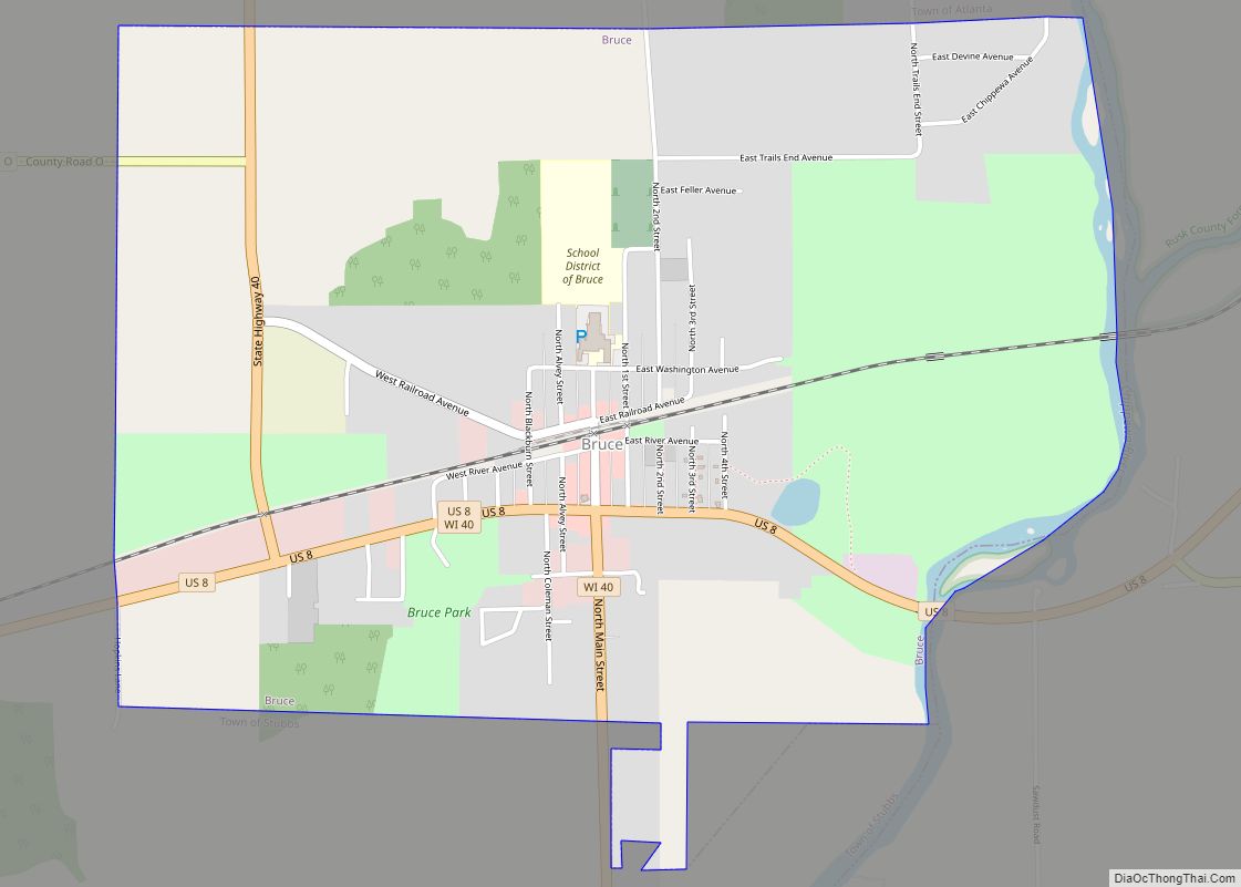
Bruce is a village in Rusk County, Wisconsin, United States. The population was 779 at the 2010 census. The village was founded in 1884 by the Sault Ste. Marie Land and Improvement Company. The land company was incorporated and led by the principal officers of the Minneapolis, Sault Ste. Marie and Atlantic Railway, which operated ... Read more
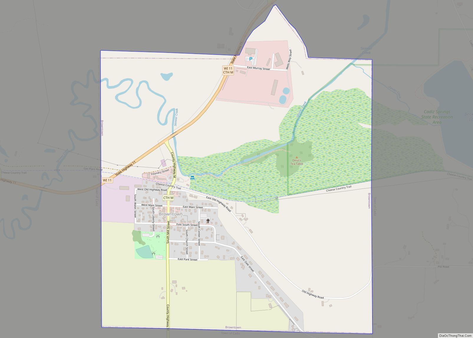
Browntown is a village in Green County, Wisconsin, United States. The population was 280 at the 2010 census. Browntown village overview: Name: Browntown village LSAD Code: 47 LSAD Description: village (suffix) State: Wisconsin County: Green County Elevation: 837 ft (255 m) Total Area: 1.05 sq mi (2.73 km²) Land Area: 1.05 sq mi (2.73 km²) Water Area: 0.00 sq mi (0.00 km²) Total Population: 280 Population ... Read more
