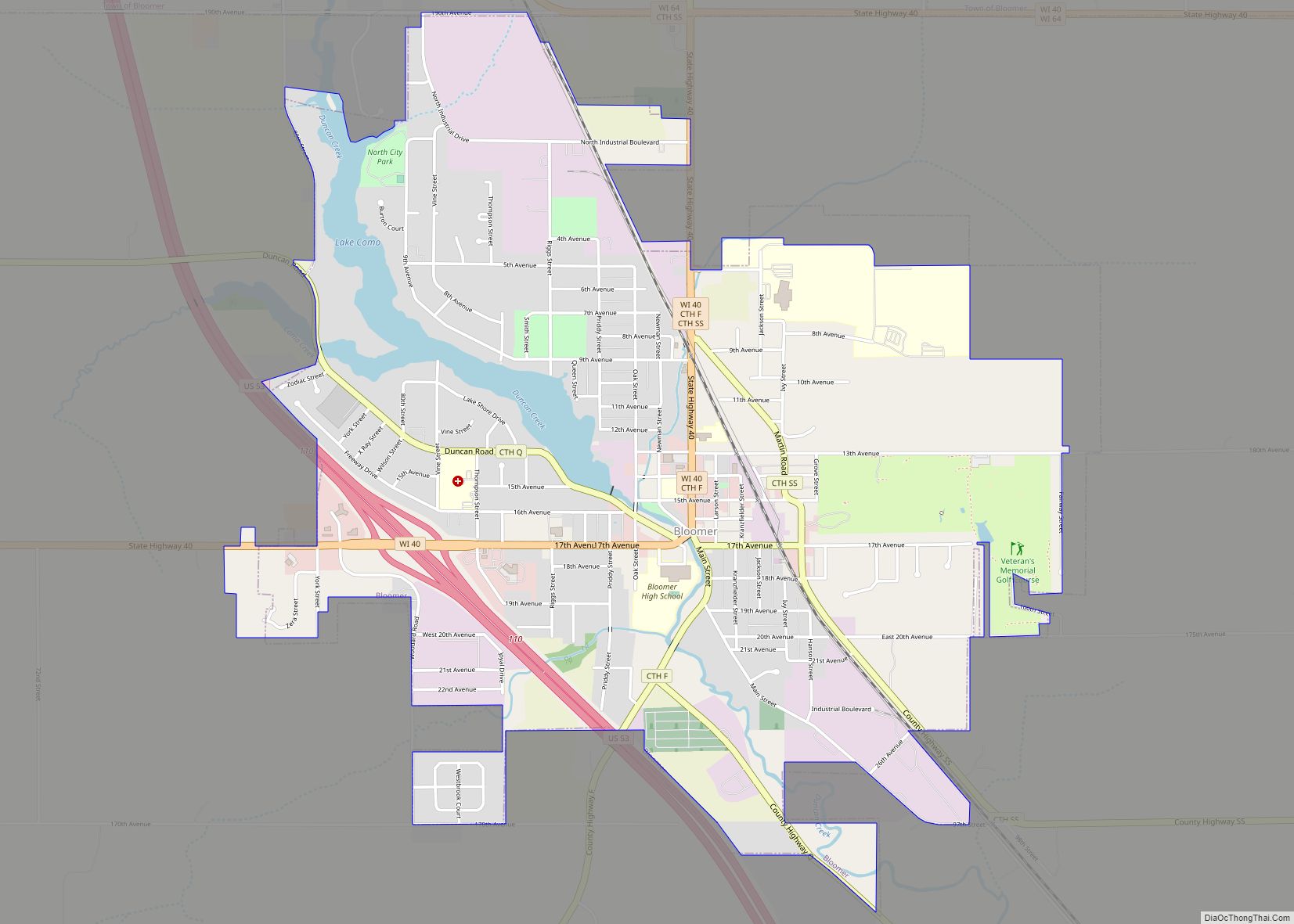
Bloomer is a city in Chippewa County, Wisconsin, United States. As of the 2010 census, the population of the city of Bloomer was 3,539.
| Name: | Bloomer city |
|---|---|
| LSAD Code: | 25 |
| LSAD Description: | city (suffix) |
| State: | Wisconsin |
| County: | Chippewa County |
| Elevation: | 994 ft (303 m) |
| Total Area: | 3.10 sq mi (8.03 km²) |
| Land Area: | 2.95 sq mi (7.64 km²) |
| Water Area: | 0.15 sq mi (0.39 km²) |
| Total Population: | 3,539 |
| Population Density: | 1,188.94/sq mi (459.00/km²) |
| FIPS code: | 5508225 |
| GNISfeature ID: | 1561930 |
| Website: | ci.bloomer.wi.us |
Online Interactive Map
Click on ![]() to view map in "full screen" mode.
to view map in "full screen" mode.
Bloomer location map. Where is Bloomer city?


History
Mr. Bloomer and a group of men from Galena, Illinois built a mill on the site in 1848. As winter approached he sold the dam to H. S. Allen and returned to Galena. Settled in 1855 the village was known as Vanville until 1867 when it was surveyed and platted.
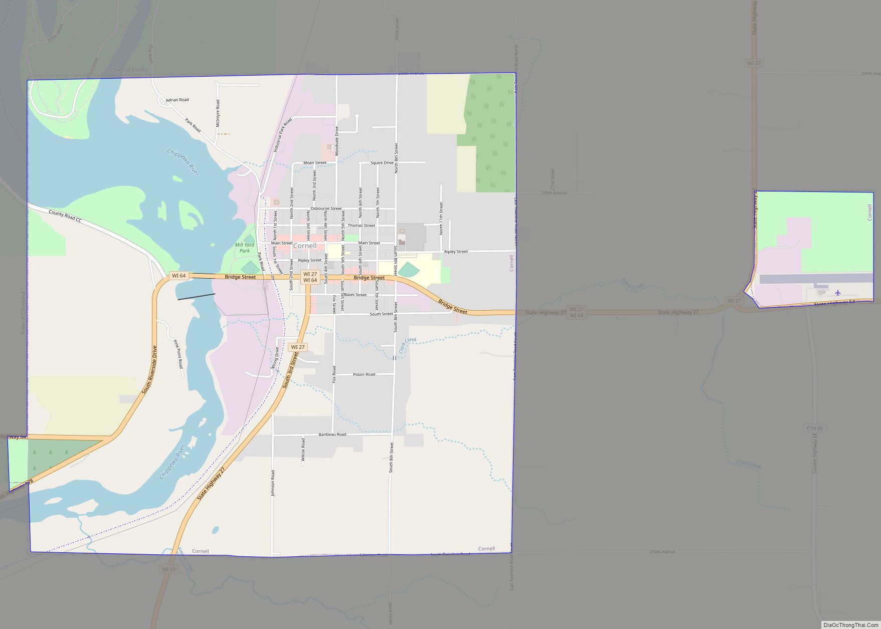
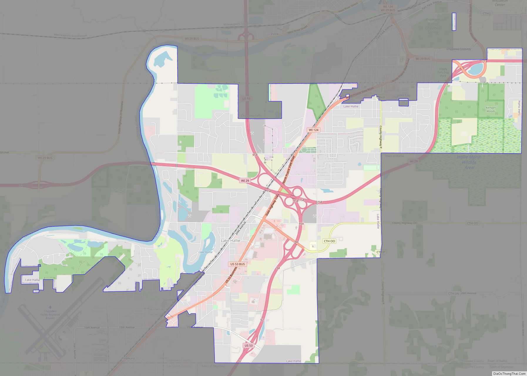
Bloomer Road Map
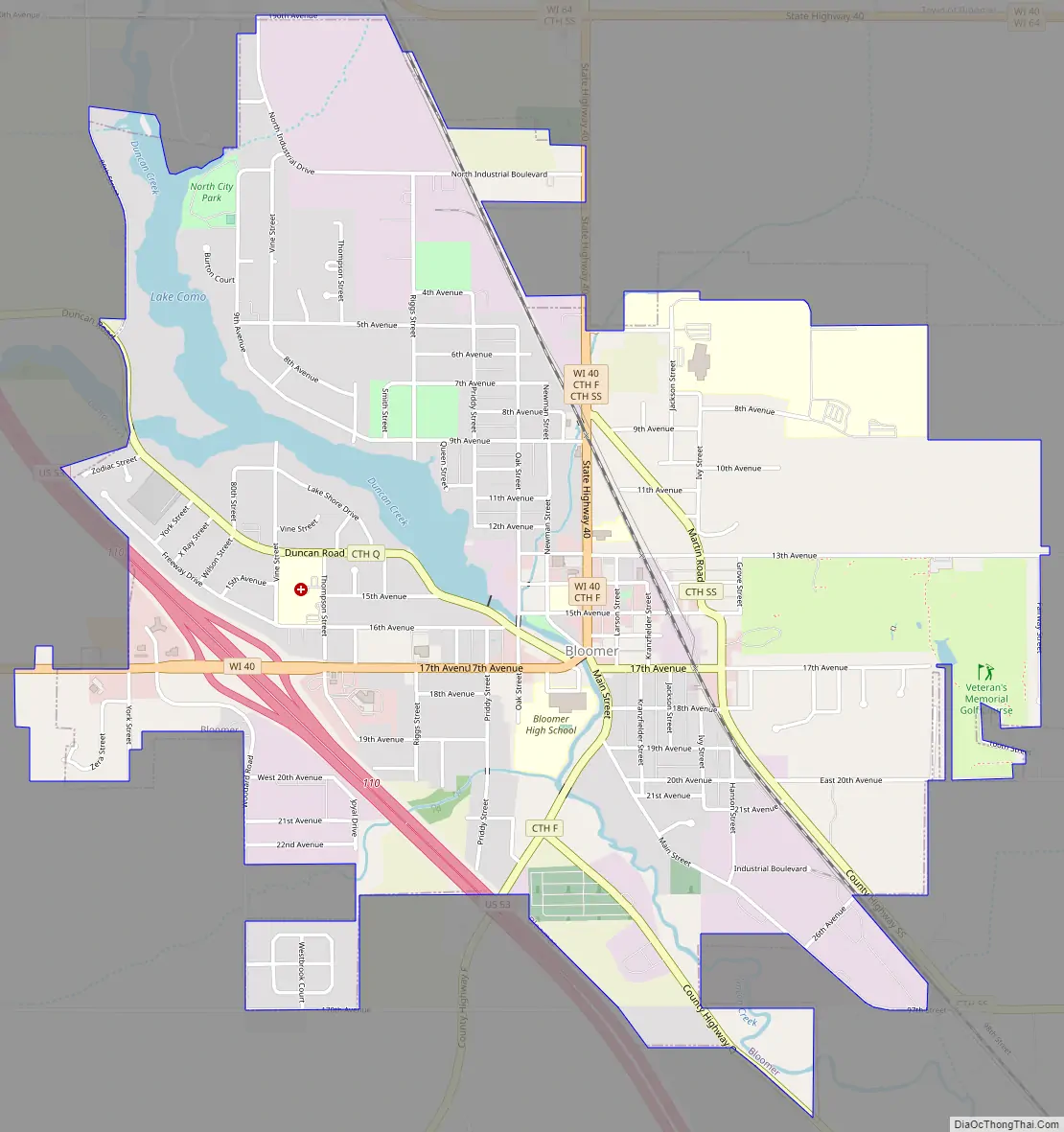
Bloomer city Satellite Map

Geography
Bloomer is located at 45°6′7″N 91°29′30″W / 45.10194°N 91.49167°W / 45.10194; -91.49167 (45.102171, −91.491767).
According to the United States Census Bureau, the city has a total area of 3.09 square miles (8.00 km), of which 2.94 square miles (7.61 km) is land and 0.15 square miles (0.39 km) is water.
Bloomer is along U.S. Highway 53 and Wisconsin Highway 40; and also County Roads F, Q, and SS. Wisconsin Highway 64 is nearby.
See also
Map of Wisconsin State and its subdivision:- Adams
- Ashland
- Barron
- Bayfield
- Brown
- Buffalo
- Burnett
- Calumet
- Chippewa
- Clark
- Columbia
- Crawford
- Dane
- Dodge
- Door
- Douglas
- Dunn
- Eau Claire
- Florence
- Fond du Lac
- Forest
- Grant
- Green
- Green Lake
- Iowa
- Iron
- Jackson
- Jefferson
- Juneau
- Kenosha
- Kewaunee
- La Crosse
- Lafayette
- Lake Michigan
- Lake Superior
- Langlade
- Lincoln
- Manitowoc
- Marathon
- Marinette
- Marquette
- Menominee
- Milwaukee
- Monroe
- Oconto
- Oneida
- Outagamie
- Ozaukee
- Pepin
- Pierce
- Polk
- Portage
- Price
- Racine
- Richland
- Rock
- Rusk
- Saint Croix
- Sauk
- Sawyer
- Shawano
- Sheboygan
- Taylor
- Trempealeau
- Vernon
- Vilas
- Walworth
- Washburn
- Washington
- Waukesha
- Waupaca
- Waushara
- Winnebago
- Wood
- Alabama
- Alaska
- Arizona
- Arkansas
- California
- Colorado
- Connecticut
- Delaware
- District of Columbia
- Florida
- Georgia
- Hawaii
- Idaho
- Illinois
- Indiana
- Iowa
- Kansas
- Kentucky
- Louisiana
- Maine
- Maryland
- Massachusetts
- Michigan
- Minnesota
- Mississippi
- Missouri
- Montana
- Nebraska
- Nevada
- New Hampshire
- New Jersey
- New Mexico
- New York
- North Carolina
- North Dakota
- Ohio
- Oklahoma
- Oregon
- Pennsylvania
- Rhode Island
- South Carolina
- South Dakota
- Tennessee
- Texas
- Utah
- Vermont
- Virginia
- Washington
- West Virginia
- Wisconsin
- Wyoming