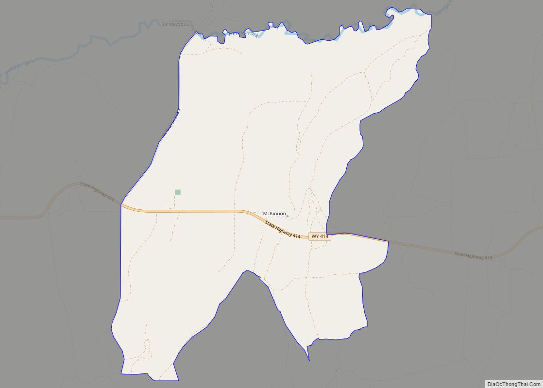
McKinnon is a census-designated place (CDP) in Sweetwater County, Wyoming, United States. The population was 60 at the 2010 census. The first rendezvous of white traders and trappers in the Rocky Mountains took place in July 1825, just north of McKinnon along the Henrys Fork river. They joined members of William Henry Ashley’s expedition. McKinnon ... Read more
Wyoming Cities and Places
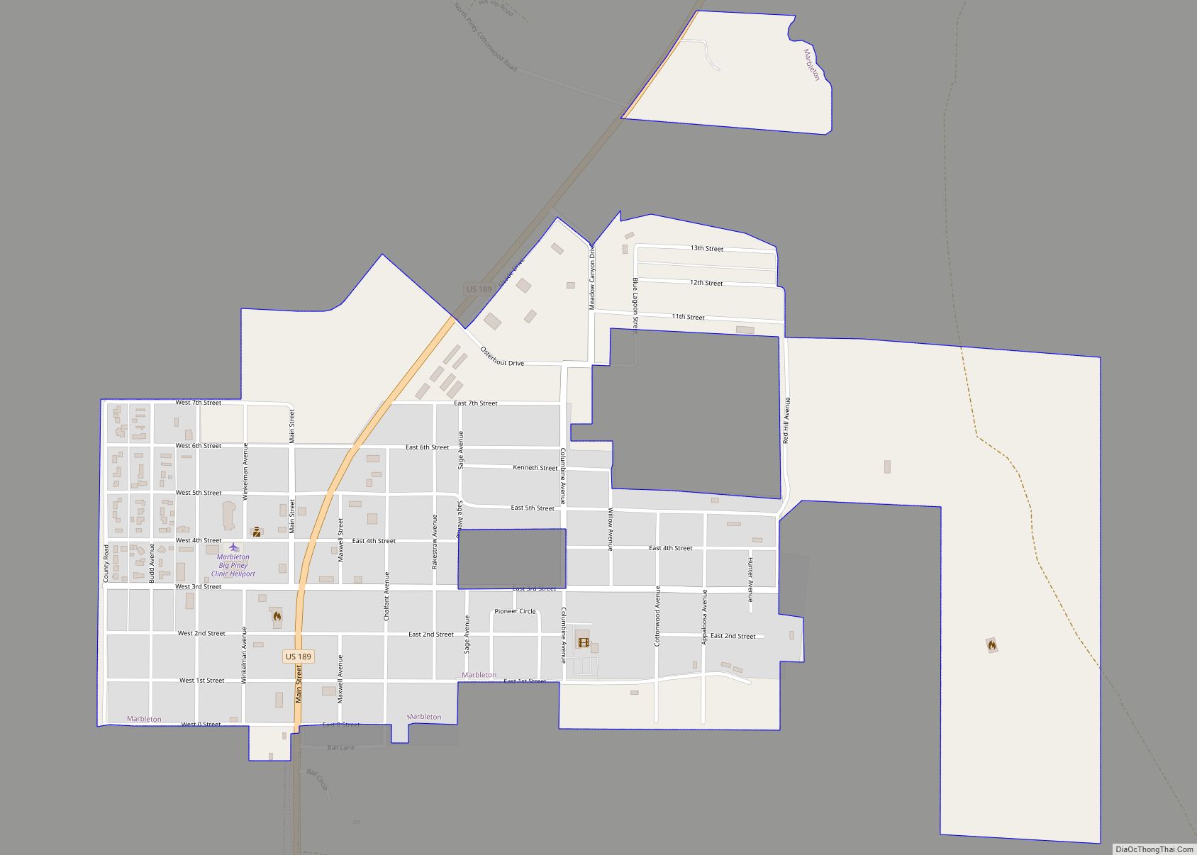
Marbleton is a town in Sublette County, Wyoming, United States. The population was 1,094 at the 2010 census. Marbleton town overview: Name: Marbleton town LSAD Code: 43 LSAD Description: town (suffix) State: Wyoming County: Sublette County Elevation: 6,867 ft (2,093 m) Total Area: 0.91 sq mi (2.35 km²) Land Area: 0.91 sq mi (2.35 km²) Water Area: 0.00 sq mi (0.00 km²) Total Population: 1,094 Population ... Read more
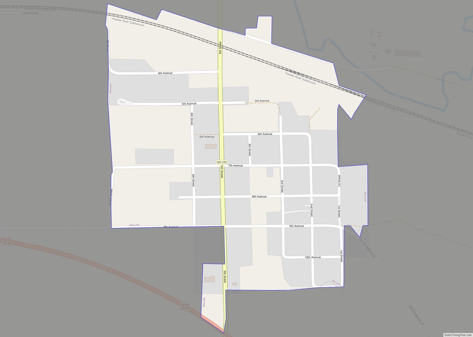
Manville is a town in Niobrara County, Wyoming, United States. The population was 95 at the 2010 census. Manville town overview: Name: Manville town LSAD Code: 43 LSAD Description: town (suffix) State: Wyoming County: Niobrara County Elevation: 5,253 ft (1,601 m) Total Area: 0.27 sq mi (0.70 km²) Land Area: 0.27 sq mi (0.70 km²) Water Area: 0.00 sq mi (0.00 km²) Total Population: 95 Population ... Read more
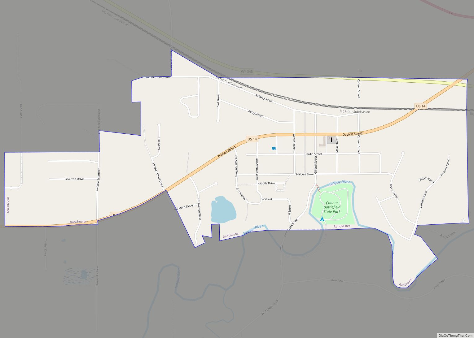
Ranchester is a town in Sheridan County, Wyoming, United States. The population was 1,064 at the 2020 census. Ranchester town overview: Name: Ranchester town LSAD Code: 43 LSAD Description: town (suffix) State: Wyoming County: Sheridan County Incorporated: 1911 Elevation: 3,763 ft (1,147 m) Total Area: 0.71 sq mi (1.84 km²) Land Area: 0.71 sq mi (1.84 km²) Water Area: 0.00 sq mi (0.00 km²) Total Population: ... Read more
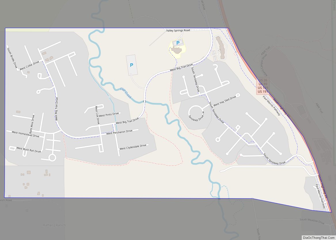
Rafter J Ranch is a census-designated place (CDP) in Teton County, Wyoming, United States. The population was 1,075 at the 2010 census. It is part of the Jackson, WY–ID Micropolitan Statistical Area. Rafter J Ranch CDP overview: Name: Rafter J Ranch CDP LSAD Code: 57 LSAD Description: CDP (suffix) State: Wyoming County: Teton County Elevation: ... Read more
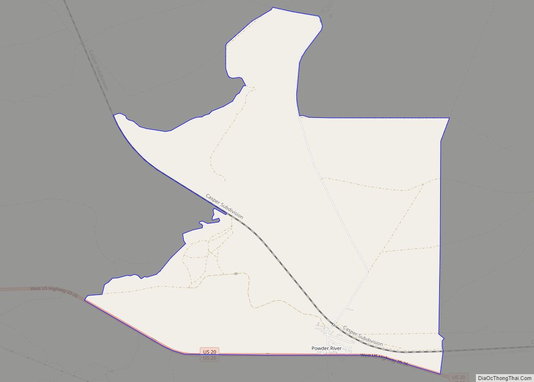
Powder River is a census-designated place (CDP) in Natrona County, Wyoming, United States. It is part of the Casper, Wyoming Metropolitan Statistical Area. The population was 30 in the 2020 census and 44 in the 2010 census. Powder River CDP overview: Name: Powder River CDP LSAD Code: 57 LSAD Description: CDP (suffix) State: Wyoming County: ... Read more
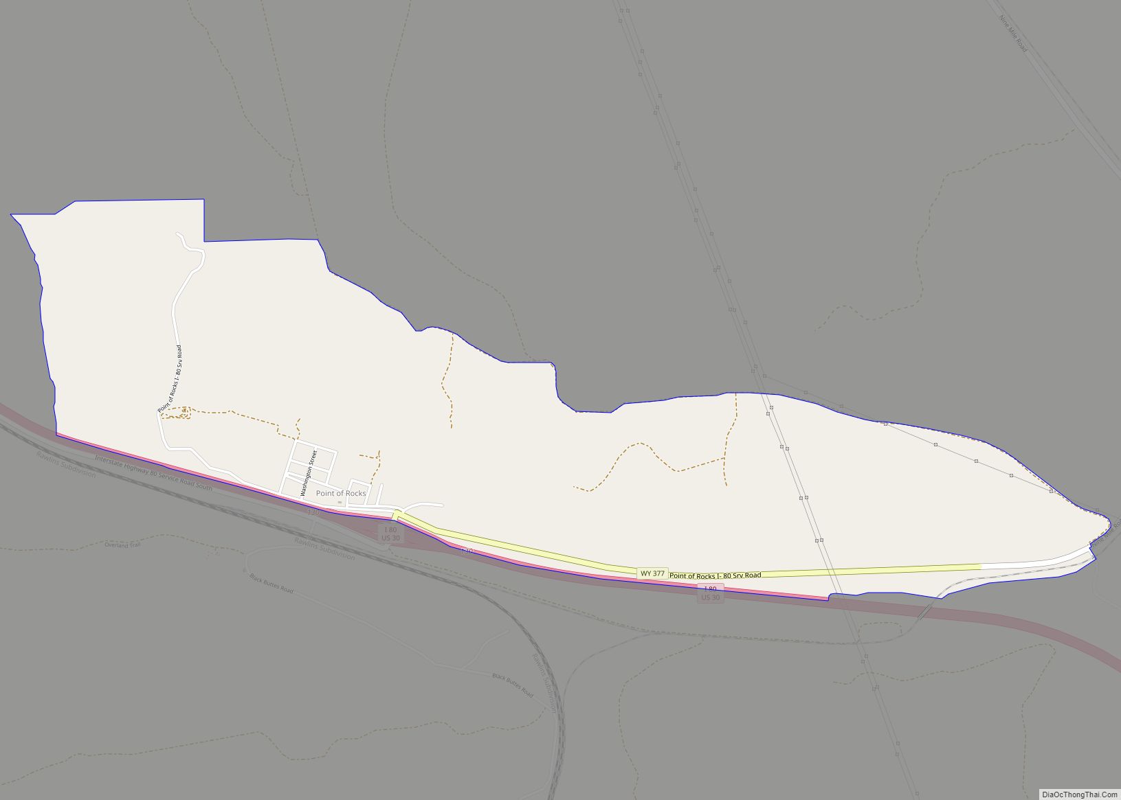
Point of Rocks is an unincorporated community in Sweetwater County, Wyoming, United States. As of the 2000 census, Point of Rocks had a total population of three, when it was a census-designated place (CDP). Point of Rocks CDP overview: Name: Point of Rocks CDP LSAD Code: 57 LSAD Description: CDP (suffix) State: Wyoming County: Sweetwater ... Read more
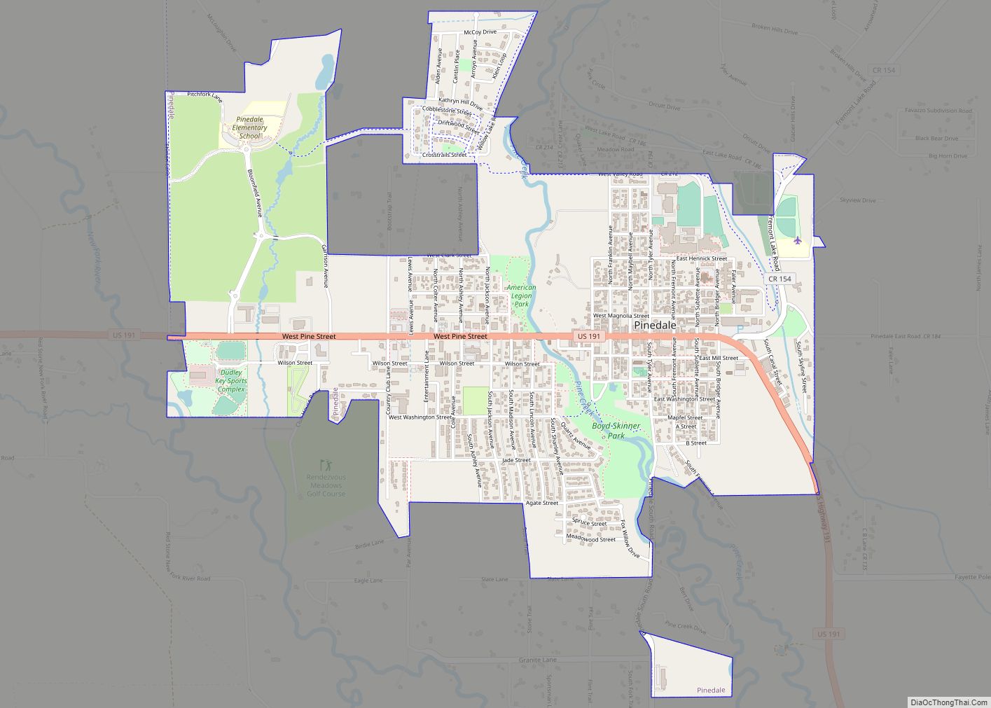
Pinedale is a town in and the county seat of Sublette County, Wyoming, United States. The population was 2,030 at the 2010 census. Pinedale is an important hunting outfitting town and a gateway to the Wind River Mountains. It is also a major gateway to the Jackson Hole area in Wyoming. Additionally, Pinedale is near ... Read more
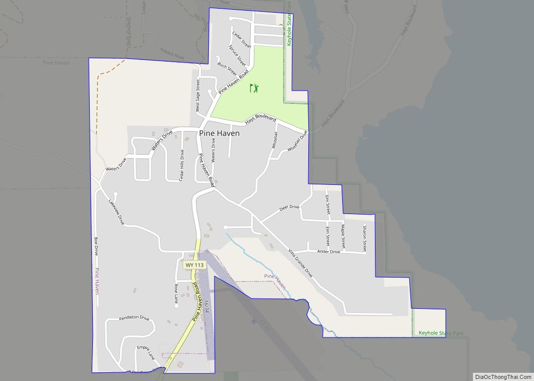
Pine Haven is a town in Crook County, Wyoming, United States. The population was 493 at the 2020 census. Pine Haven town overview: Name: Pine Haven town LSAD Code: 43 LSAD Description: town (suffix) State: Wyoming County: Crook County Elevation: 4,160 ft (1,270 m) Total Area: 1.32 sq mi (3.41 km²) Land Area: 1.32 sq mi (3.41 km²) Water Area: 0.00 sq mi (0.00 km²) Total ... Read more
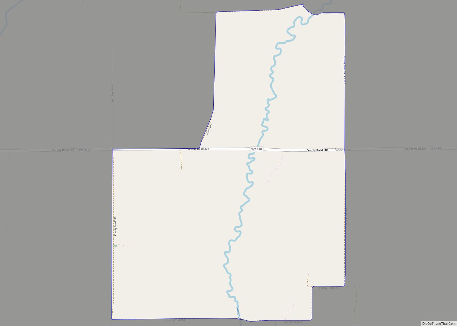
Robertson is a census-designated place (CDP) in Uinta County, Wyoming, United States. The population was 97 at the 2010 census. Robertson CDP overview: Name: Robertson CDP LSAD Code: 57 LSAD Description: CDP (suffix) State: Wyoming County: Uinta County Elevation: 7,287 ft (2,221 m) Total Area: 3.1 sq mi (8.1 km²) Land Area: 3.1 sq mi (8.1 km²) Water Area: 0.0 sq mi (0.0 km²) Total Population: ... Read more
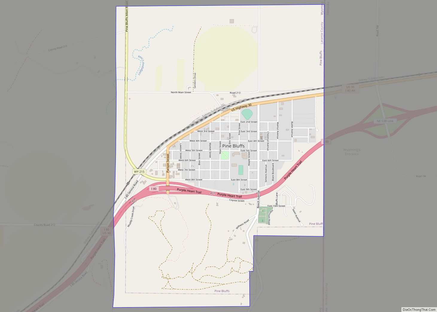
Pine Bluffs is a town in eastern Laramie County, Wyoming, United States. It is located on the county’s border with Nebraska. Pine Bluffs is part of the Cheyenne, Wyoming, Metropolitan Statistical Area. The population was 1,129 at the 2010 census. It was first known as Rock Ranch, but the name was changed by railroad officials ... Read more
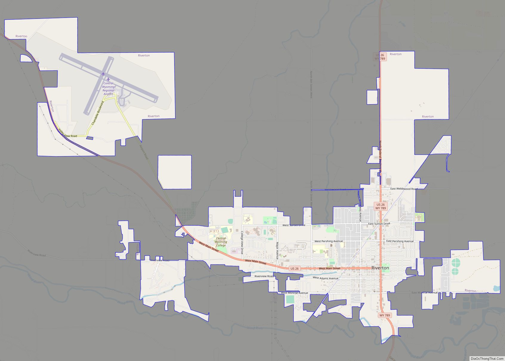
Riverton is a city in Fremont County, Wyoming, United States. The city’s population was 10,682 at the 2020 census, making it the largest city in the county. Riverton city overview: Name: Riverton city LSAD Code: 25 LSAD Description: city (suffix) State: Wyoming County: Fremont County Elevation: 4,951 ft (1,509 m) Total Area: 10.34 sq mi (26.78 km²) Land Area: 10.34 sq mi ... Read more
