Riverton is a city in Fremont County, Wyoming, United States. The city’s population was 10,682 at the 2020 census, making it the largest city in the county.
| Name: | Riverton city |
|---|---|
| LSAD Code: | 25 |
| LSAD Description: | city (suffix) |
| State: | Wyoming |
| County: | Fremont County |
| Elevation: | 4,951 ft (1,509 m) |
| Total Area: | 10.34 sq mi (26.78 km²) |
| Land Area: | 10.34 sq mi (26.77 km²) |
| Water Area: | 0.01 sq mi (0.01 km²) |
| Total Population: | 10,615 |
| Population Density: | 1,042.28/sq mi (402.42/km²) |
| ZIP code: | 82501 |
| Area code: | 307 |
| FIPS code: | 5666220 |
| GNISfeature ID: | 1593489 |
| Website: | www.rivertonwy.gov |
Online Interactive Map
Click on ![]() to view map in "full screen" mode.
to view map in "full screen" mode.
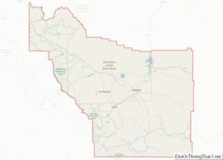
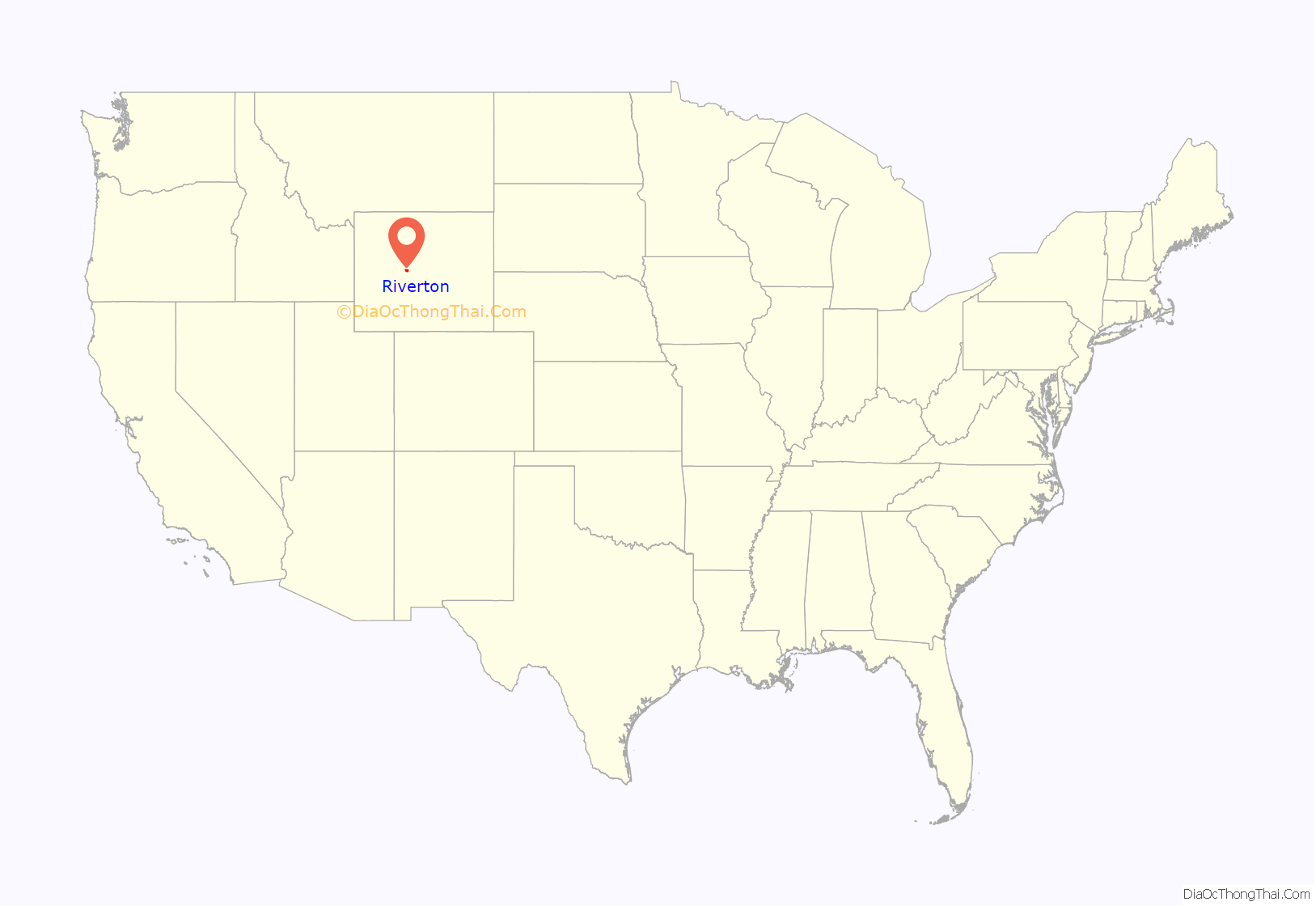
Riverton location map. Where is Riverton city?

History
The city, founded in 1906, is an incorporated entity of the state of Wyoming. The community was named Riverton because of the four rivers that meet there. The town was built on land ceded from the Wind River Indian Reservation, a situation that often makes it subject to jurisdictional claims by the nearby Eastern Shoshone and Northern Arapaho tribes.
A legal ruling on November 7, 2017, by the 10th Circuit Court, ruled again in the EPA reservation boundary dispute. Though the decision was complex, the 10th Circuit Court answered plainly. Riverton is not on the reservation. The 10th Circuit’s decision is now official and final after the 10th Circuit Court of Appeals 2017 ruling. The Tenth Circuit Court of Appeals reversed the decision of the EPA, and held that the land had been ceded in 1905 by an Act of Congress. This ruling ends the dispute, bringing the debate and controversy to an end.
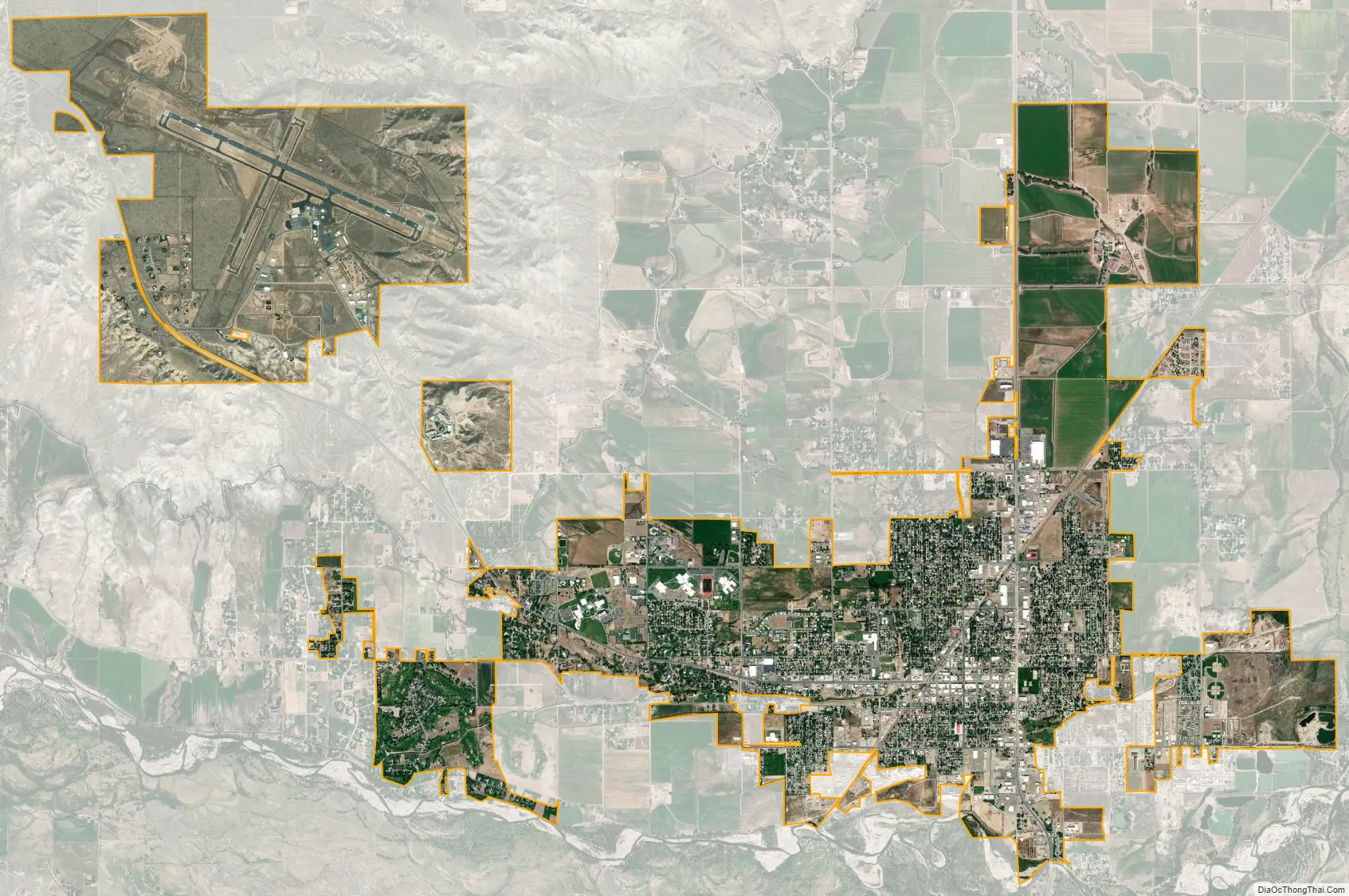
Riverton Regional Airport (now Central Wyoming Regional Airport) is home to a National Weather Service Forecast Office and NEXRAD radar site which is responsible to cover all of western and central Wyoming.
The Chicago & Northwestern Railway completed an extension of the “Cowboy Line” through to Lander which is roughly 22 miles west of Riverton. Plans were to continue the line west from Lander. In 1972, the end of the line was moved from Lander and the new terminus of the line was in Riverton. Services were then discontinued in Riverton in the mid-1970’s as the line was slowly dismantled west of Casper.
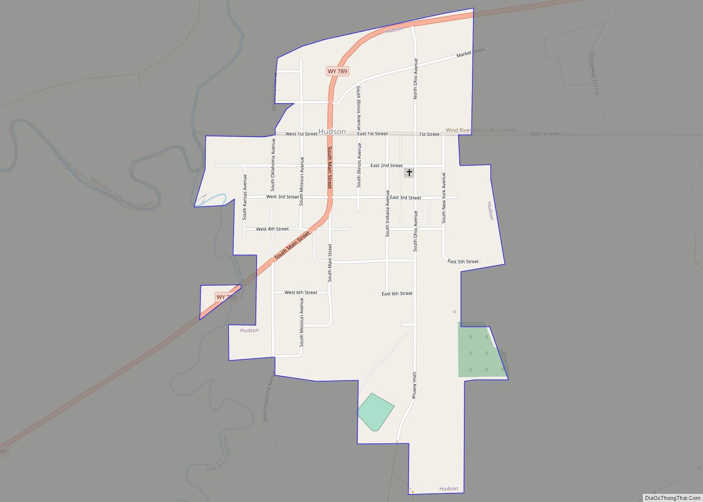
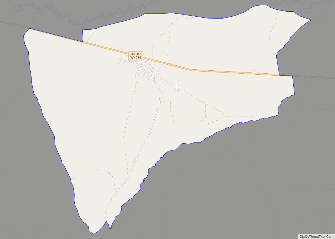
Riverton Road Map

Riverton city Satellite Map
Geography
Riverton is located directly north of the Wind River. U.S. Route 26 and Wyoming Highway 789 pass through the city.
According to the United States Census Bureau, the city has a total area of 9.87 square miles (25.56 km), of which 9.86 square miles (25.54 km) is land and 0.01 square miles (0.03 km) is water.
Climate
According to the Köppen Climate Classification system, Riverton has a cold semi-arid climate, abbreviated “BSk” on climate maps. The hottest temperature recorded in Riverton was 104 °F (40 °C) on July 12, 1954, July 22, 1982, and July 14, 2005, while the coldest temperature recorded was −46 °F (−43 °C) on January 17, 1930, January 12, 1963, December 31, 1978, January 1, 1979, and December 23, 1983.
See also
Map of Wyoming State and its subdivision: Map of other states:- Alabama
- Alaska
- Arizona
- Arkansas
- California
- Colorado
- Connecticut
- Delaware
- District of Columbia
- Florida
- Georgia
- Hawaii
- Idaho
- Illinois
- Indiana
- Iowa
- Kansas
- Kentucky
- Louisiana
- Maine
- Maryland
- Massachusetts
- Michigan
- Minnesota
- Mississippi
- Missouri
- Montana
- Nebraska
- Nevada
- New Hampshire
- New Jersey
- New Mexico
- New York
- North Carolina
- North Dakota
- Ohio
- Oklahoma
- Oregon
- Pennsylvania
- Rhode Island
- South Carolina
- South Dakota
- Tennessee
- Texas
- Utah
- Vermont
- Virginia
- Washington
- West Virginia
- Wisconsin
- Wyoming