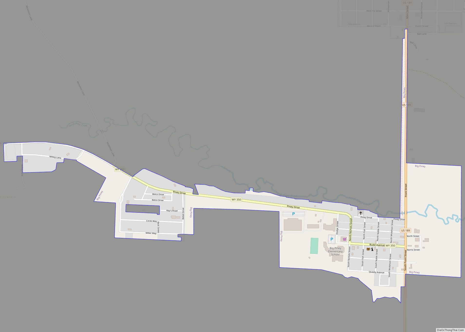
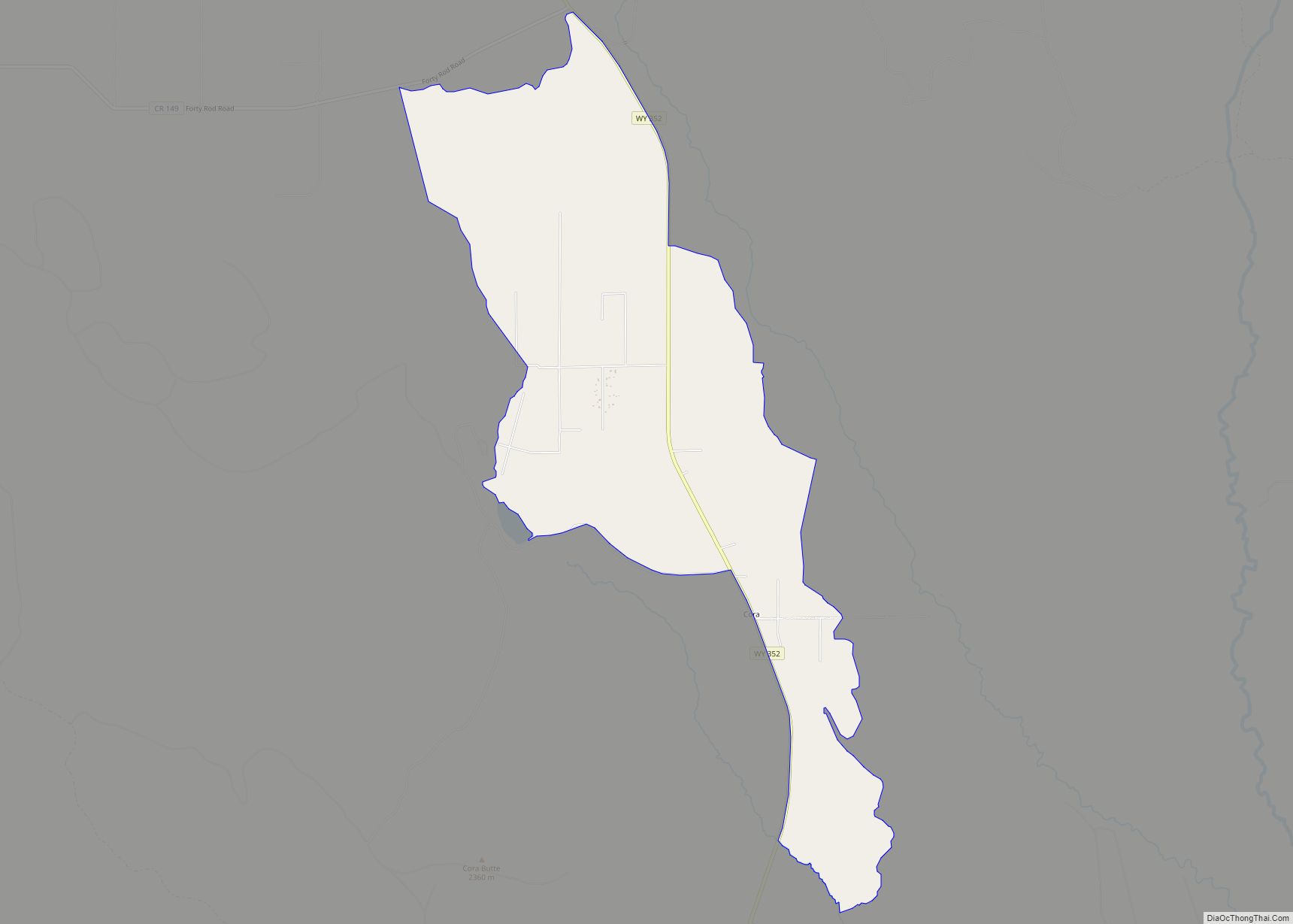
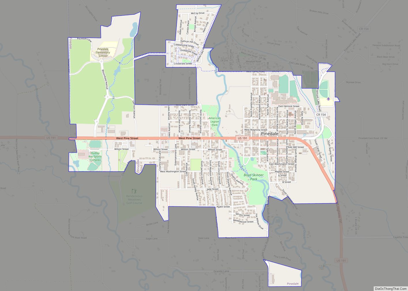
Pinedale is a town in and the county seat of Sublette County, Wyoming, United States. The population was 2,030 at the 2010 census. Pinedale is an important hunting outfitting town and a gateway to the Wind River Mountains. It is also a major gateway to the Jackson Hole area in Wyoming. Additionally, Pinedale is near several large natural gas fields, including the Pinedale Anticline and Jonah Field. Attractions include the Museum of the Mountain Man, Green River Rendezvous Days, White Pine Ski Area, the Pinedale Aquatic Center and the Town Park System along the Pine Creek Corridor in the middle of town. The mayor is Matt Murdock, who was elected in 2018.
| Name: | Pinedale town |
|---|---|
| LSAD Code: | 43 |
| LSAD Description: | town (suffix) |
| State: | Wyoming |
| County: | Sublette County |
| Elevation: | 7,182 ft (2,189 m) |
| Total Area: | 2.16 sq mi (5.61 km²) |
| Land Area: | 2.16 sq mi (5.61 km²) |
| Water Area: | 0.00 sq mi (0.00 km²) |
| Total Population: | 2,030 |
| Population Density: | 864.60/sq mi (333.76/km²) |
| ZIP code: | 82941 |
| Area code: | 307 |
| FIPS code: | 5661580 |
| GNISfeature ID: | 1604444 |
| Website: | www.townofpinedale.us |
Online Interactive Map
Click on ![]() to view map in "full screen" mode.
to view map in "full screen" mode.
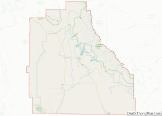
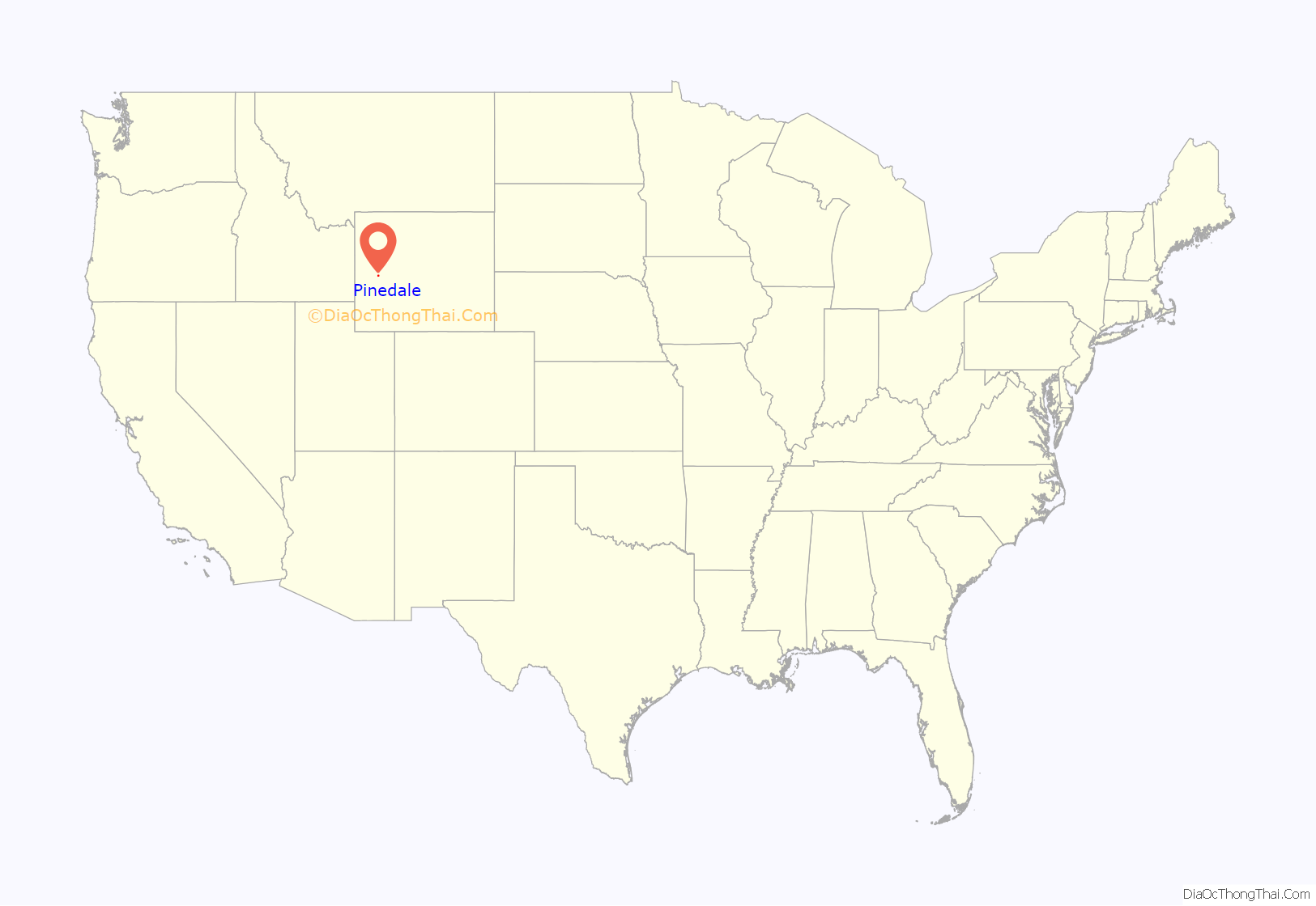
Pinedale location map. Where is Pinedale town?

Pinedale Road Map

Pinedale city Satellite Map

Geography
Pinedale is located at 42°51′58″N 109°51′53″W / 42.86611°N 109.86472°W / 42.86611; -109.86472 (42.866162, −109.864622) and sits at an elevation of 7,175 feet above sea level. According to the United States Census Bureau, the town has a total area of 2.15 square miles (5.57 km), all land.
There are 1,300 lakes around the Pinedale area. Fremont Lake, four miles from Pinedale, is the most commonly used lake, and Wyoming’s second largest natural lake.
Pine Creek flows from nearby Fremont Lake through the town on its way to the Green River.
Pinedale has a humid continental climate (Köppen Dfb) with summers featuring warm afternoons and cold mornings, plus very cold, dry winters. The average January low is 1.9 °F (−16.7 °C), on average 46.3 mornings fall to or below 0 °F or −17.8 °C and between 1991 and 2020, the temperature will drop to −26 °F or −32.2 °C in an average year. The coldest temperature on record since records started in 1948 is −49 °F (−45 °C) during the bitter cold wave of December 1990.
Although the winters are dry, there is enough moisture in the cold air for 76.1 inches or 1.93 metres of snow during a typical winter, with the range being from 166.5 inches (4.23 m) between July 2016 and June 2017 to 28.4 inches (0.72 m) between July 1962 and June 1963.
See also
Map of Wyoming State and its subdivision: Map of other states:- Alabama
- Alaska
- Arizona
- Arkansas
- California
- Colorado
- Connecticut
- Delaware
- District of Columbia
- Florida
- Georgia
- Hawaii
- Idaho
- Illinois
- Indiana
- Iowa
- Kansas
- Kentucky
- Louisiana
- Maine
- Maryland
- Massachusetts
- Michigan
- Minnesota
- Mississippi
- Missouri
- Montana
- Nebraska
- Nevada
- New Hampshire
- New Jersey
- New Mexico
- New York
- North Carolina
- North Dakota
- Ohio
- Oklahoma
- Oregon
- Pennsylvania
- Rhode Island
- South Carolina
- South Dakota
- Tennessee
- Texas
- Utah
- Vermont
- Virginia
- Washington
- West Virginia
- Wisconsin
- Wyoming