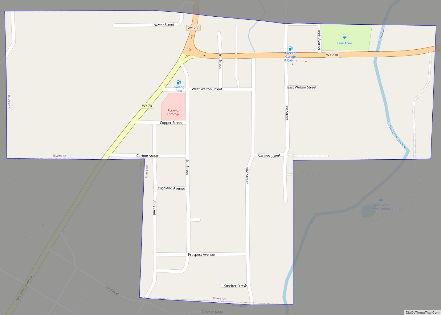
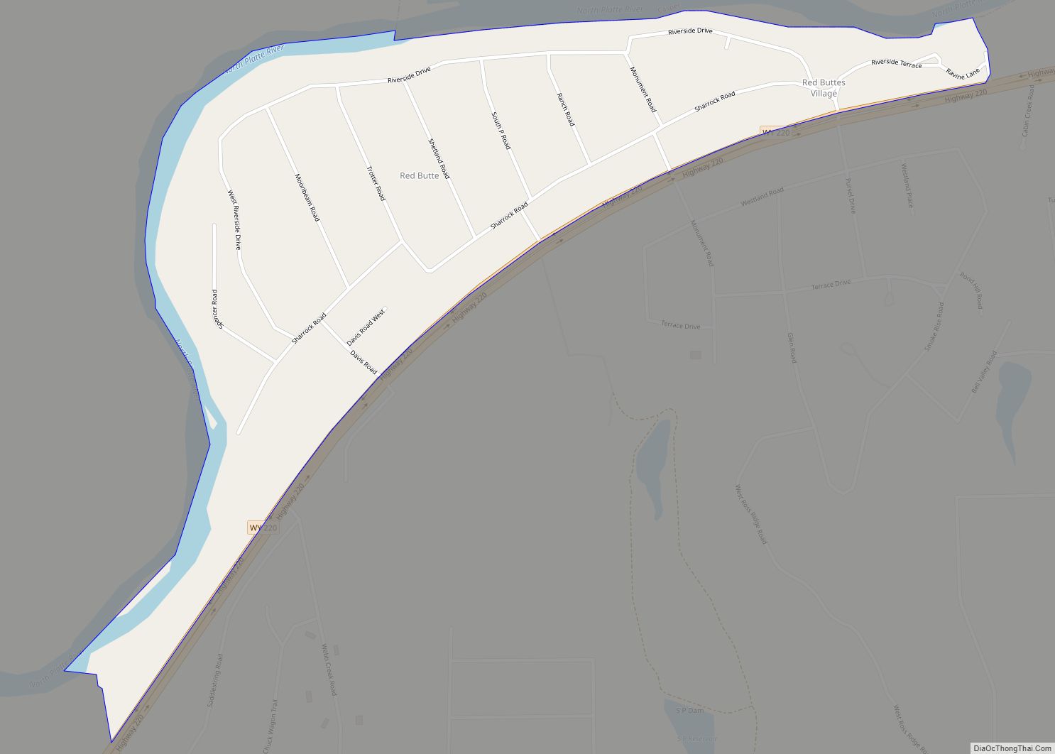
Map of Ranchettes CDP
Ranchettes is a census-designated place (CDP) in Laramie County, Wyoming, United States. It is part of the Cheyenne, Wyoming Metropolitan Statistical Area. The population was 5,798 at the 2010 census. Ranchettes CDP overview: Name: Ranchettes CDP LSAD Code: 57 LSAD Description: CDP (suffix) State: Wyoming County: Laramie County Elevation: 6,201 ft (1,890 m) Total Area: 49.2 sq mi (127.4 km²) ... Read more
Map of Ranchettes CDP
Map of Ranchester town
Ranchester is a town in Sheridan County, Wyoming, United States. The population was 1,064 at the 2020 census. Ranchester town overview: Name: Ranchester town LSAD Code: 43 LSAD Description: town (suffix) State: Wyoming County: Sheridan County Incorporated: 1911 Elevation: 3,763 ft (1,147 m) Total Area: 0.71 sq mi (1.84 km²) Land Area: 0.71 sq mi (1.84 km²) Water Area: 0.00 sq mi (0.00 km²) Total Population: ... Read more
Map of Ranchester town
Map of Rafter J Ranch CDP
Rafter J Ranch is a census-designated place (CDP) in Teton County, Wyoming, United States. The population was 1,075 at the 2010 census. It is part of the Jackson, WY–ID Micropolitan Statistical Area. Rafter J Ranch CDP overview: Name: Rafter J Ranch CDP LSAD Code: 57 LSAD Description: CDP (suffix) State: Wyoming County: Teton County Elevation: ... Read more
Map of Rafter J Ranch CDP
Map of Powder River CDP
Powder River is a census-designated place (CDP) in Natrona County, Wyoming, United States. It is part of the Casper, Wyoming Metropolitan Statistical Area. The population was 30 in the 2020 census and 44 in the 2010 census. Powder River CDP overview: Name: Powder River CDP LSAD Code: 57 LSAD Description: CDP (suffix) State: Wyoming County: ... Read more
Map of Powder River CDP
Map of Point of Rocks CDP, Wyoming
Point of Rocks is an unincorporated community in Sweetwater County, Wyoming, United States. As of the 2000 census, Point of Rocks had a total population of three, when it was a census-designated place (CDP). Point of Rocks CDP overview: Name: Point of Rocks CDP LSAD Code: 57 LSAD Description: CDP (suffix) State: Wyoming County: Sweetwater ... Read more
Map of Point of Rocks CDP, Wyoming
Map of Pinedale town, Wyoming
Pinedale is a town in and the county seat of Sublette County, Wyoming, United States. The population was 2,030 at the 2010 census. Pinedale is an important hunting outfitting town and a gateway to the Wind River Mountains. It is also a major gateway to the Jackson Hole area in Wyoming. Additionally, Pinedale is near ... Read more
Map of Pinedale town, Wyoming
Map of Pine Haven town
Pine Haven is a town in Crook County, Wyoming, United States. The population was 493 at the 2020 census. Pine Haven town overview: Name: Pine Haven town LSAD Code: 43 LSAD Description: town (suffix) State: Wyoming County: Crook County Elevation: 4,160 ft (1,270 m) Total Area: 1.32 sq mi (3.41 km²) Land Area: 1.32 sq mi (3.41 km²) Water Area: 0.00 sq mi (0.00 km²) Total ... Read more
Map of Pine Haven town
Map of Sundance town
Sundance (Lakota: Owíwaŋyaŋg Wačhí; “Sun-watching Dance”) is a town in and the county seat of Crook County, Wyoming, United States. Its population was 1,032 at the 2020 census. The town is named after the Sun Dance ceremony practiced by several American Indian tribes. Sundance town overview: Name: Sundance town LSAD Code: 43 LSAD Description: town ... Read more
Map of Sundance town
Map of Story CDP
Story is a census-designated place (CDP) in Sheridan County, Wyoming, United States. As of the 2020 census, the CDP population was 903. Story CDP overview: Name: Story CDP LSAD Code: 57 LSAD Description: CDP (suffix) State: Wyoming County: Sheridan County Elevation: 5,036 ft (1,535 m) Total Area: 7.1 sq mi (18 km²) Land Area: 7.1 sq mi (18 km²) Water Area: 0.0 sq mi (0 km²) ... Read more
Map of Story CDP
Map of Star Valley Ranch town
Star Valley Ranch is a town in Lincoln County, Wyoming, United States. The population was 1,503 at the 2010 census. It was incorporated on November 8, 2005; at the 2000 census, it was only a census-designated place (CDP). Star Valley Ranch town overview: Name: Star Valley Ranch town LSAD Code: 43 LSAD Description: town (suffix) ... Read more
Map of Star Valley Ranch town
Map of South Park CDP
South Park is a census-designated place (CDP) in Teton County, Wyoming, United States. The population was 1,831 at the 2010 census. It is part of the Jackson, WY–ID Micropolitan Statistical Area. The community does not have any connections with South Park, the animated Comedy Central television series. South Park CDP overview: Name: South Park CDP ... Read more
Map of South Park CDP
Map of South Greeley CDP
South Greeley is a census-designated place (CDP) in Laramie County, Wyoming, United States. It is part of the Cheyenne, Wyoming Metropolitan Statistical Area. The population was 4,733 at the 2020 census. The population was 4,217 at the 2010 census. South Greeley CDP overview: Name: South Greeley CDP LSAD Code: 57 LSAD Description: CDP (suffix) State: ... Read more
Map of South Greeley CDP