Table Rock is a ghost town in Sweetwater County, Wyoming, United States. It was also part of a census-designated place at the 2000 census, with a population of 82, but by the 2010 census the population had dropped to 0.
| Name: | Table Rock CDP |
|---|---|
| LSAD Code: | 57 |
| LSAD Description: | CDP (suffix) |
| State: | Wyoming |
| County: | Sweetwater County |
| Elevation: | 6,847 ft (2,087 m) |
| Total Area: | 6.8 sq mi (17.6 km²) |
| Land Area: | 6.8 sq mi (17.6 km²) |
| Water Area: | 0.0 sq mi (0.0 km²) |
| Total Population: | 0 |
| Area code: | 307 |
| FIPS code: | 5675355 |
| GNISfeature ID: | 1595289 |
Online Interactive Map
Click on ![]() to view map in "full screen" mode.
to view map in "full screen" mode.
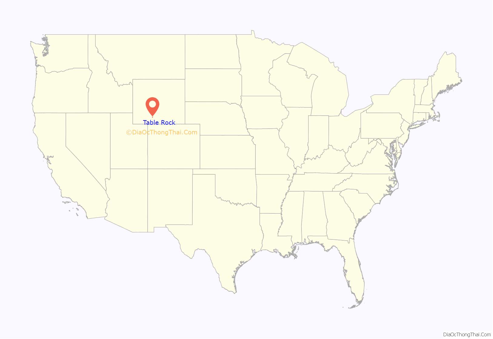
Table Rock location map. Where is Table Rock CDP?
History
Table Rock was built in the late 1970s by Colorado Interstate Gas (CIG) as a company town, to house workers during an area boom and housing shortage. It was built just north of the company’s natural gas processing plant. CIG provided employees three- or four-bedroom homes free of charge and built a community center. The village began to decline after El Paso Corp. acquired CIG in 2001. In 2003, the plant and town were bought by Anadarko Petroleum, which then decided not to operate the village. Table Rock was closed in July 2003. The housing units were sold to real estate developers, and some of the houses were moved to Rock Springs.
The remaining homes were demolished in late August 2011, leaving the community center as the only structure standing on the village site, and it was scheduled to be moved.
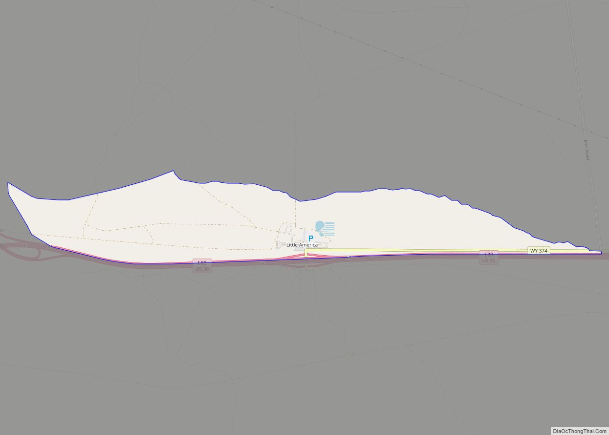
Table Rock Road Map
Table Rock city Satellite Map
Geography
Table Rock lies along Interstate 80 in the Red Desert Basin, between Rock Springs and Wamsutter.
According to the United States Census Bureau, Table Rock has a total area of 6.8 square miles (17.6 km), all land.
See also
Map of Wyoming State and its subdivision: Map of other states:- Alabama
- Alaska
- Arizona
- Arkansas
- California
- Colorado
- Connecticut
- Delaware
- District of Columbia
- Florida
- Georgia
- Hawaii
- Idaho
- Illinois
- Indiana
- Iowa
- Kansas
- Kentucky
- Louisiana
- Maine
- Maryland
- Massachusetts
- Michigan
- Minnesota
- Mississippi
- Missouri
- Montana
- Nebraska
- Nevada
- New Hampshire
- New Jersey
- New Mexico
- New York
- North Carolina
- North Dakota
- Ohio
- Oklahoma
- Oregon
- Pennsylvania
- Rhode Island
- South Carolina
- South Dakota
- Tennessee
- Texas
- Utah
- Vermont
- Virginia
- Washington
- West Virginia
- Wisconsin
- Wyoming
