Rawlins is a city in Carbon County, Wyoming, United States. The population was 8,221 at the 2020 census. It is the county seat of Carbon County. It was named for Union General John Aaron Rawlins, who camped in the locality in 1867.
| Name: | Rawlins city |
|---|---|
| LSAD Code: | 25 |
| LSAD Description: | city (suffix) |
| State: | Wyoming |
| County: | Carbon County |
| Elevation: | 6,834 ft (2,083 m) |
| Total Area: | 8.29 sq mi (21.46 km²) |
| Land Area: | 8.25 sq mi (21.36 km²) |
| Water Area: | 0.04 sq mi (0.10 km²) |
| Total Population: | 8,221 |
| Population Density: | 996.7/sq mi (353.7/km²) |
| ZIP code: | 82301 |
| Area code: | 307 |
| FIPS code: | 5663900 |
| GNISfeature ID: | 1593213 |
| Website: | www.rawlins-wyoming.com |
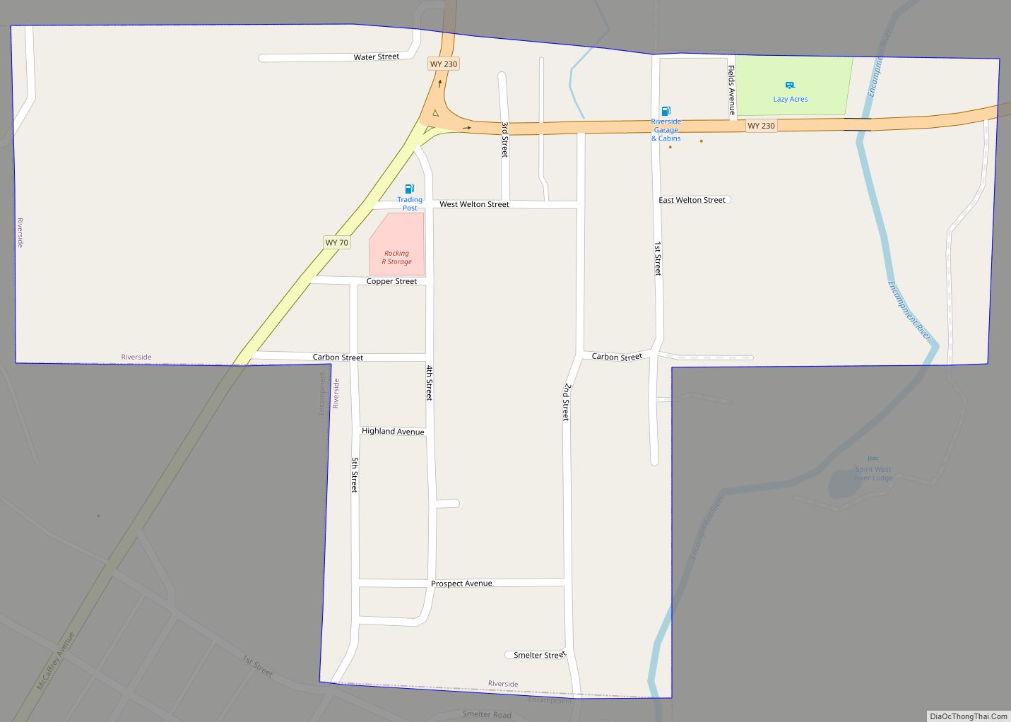
Online Interactive Map
Click on ![]() to view map in "full screen" mode.
to view map in "full screen" mode.
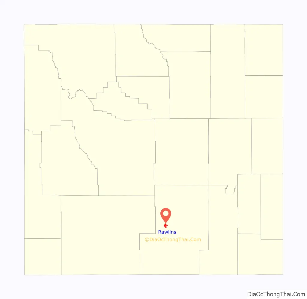
Rawlins location map. Where is Rawlins city?

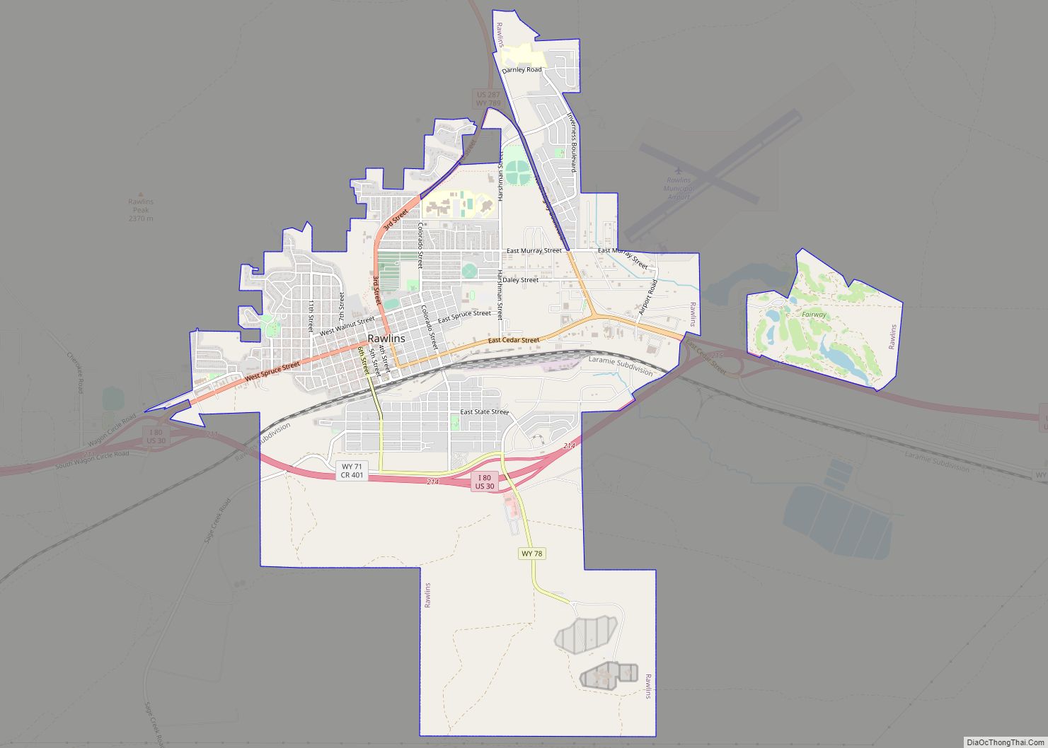
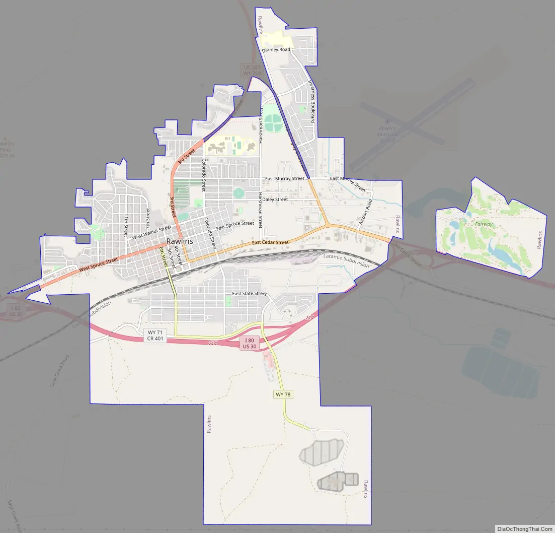
Rawlins Road Map
Rawlins city Satellite Map

Geography
Rawlins is located in Carbon County at 41°47′25″N 107°14′3″W / 41.79028°N 107.23417°W / 41.79028; -107.23417 (41.790397, -107.234297).
According to the United States Census Bureau, the city has a total area of 8.28 square miles (21.45 km), of which 8.24 square miles (21.34 km) is land and 0.04 square miles (0.10 km) is water. The city is approximately 6800 feet (2073 m) above sea level.
Climate
Rawlins’ climate is semi-arid (Köppen climate classification BSk).
See also
Map of Wyoming State and its subdivision: Map of other states:- Alabama
- Alaska
- Arizona
- Arkansas
- California
- Colorado
- Connecticut
- Delaware
- District of Columbia
- Florida
- Georgia
- Hawaii
- Idaho
- Illinois
- Indiana
- Iowa
- Kansas
- Kentucky
- Louisiana
- Maine
- Maryland
- Massachusetts
- Michigan
- Minnesota
- Mississippi
- Missouri
- Montana
- Nebraska
- Nevada
- New Hampshire
- New Jersey
- New Mexico
- New York
- North Carolina
- North Dakota
- Ohio
- Oklahoma
- Oregon
- Pennsylvania
- Rhode Island
- South Carolina
- South Dakota
- Tennessee
- Texas
- Utah
- Vermont
- Virginia
- Washington
- West Virginia
- Wisconsin
- Wyoming