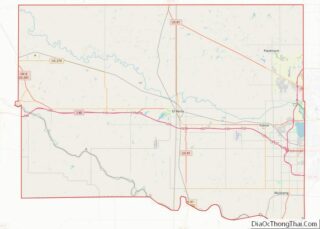
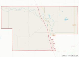
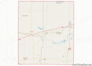
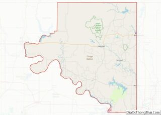
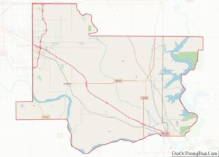
Map of Carbon County

Map of Carbon County, Wyoming

Carbon County overview: Name: Carbon County FIPS code: 56-007 State: Wyoming Founded: December 16, 1868 Named for: Coal deposits Seat: Rawlins Largest city: Rawlins Total Area: 7,964 sq mi (20,630 km²) Land Area: 7,898 sq mi (20,460 km²) Total Population: 14,537 Population Density: 1.8/sq mi (0.70/km²) Carbon County location map. Where is Carbon County? History Carbon County was organized in 1868, one … Read more

Map of Teton County

Map of Teton County, Wyoming

Teton County is a county in the U.S. state of Wyoming. As of the 2020 United States Census, the population was 23,331. Its county seat is Jackson. Its west boundary line is also the Wyoming state boundary shared with Idaho and the southern tip of Montana. Teton County is part of the Jackson, WY-ID Micropolitan … Read more

Map of Chambers County

Map of Chambers County, Alabama

Chambers County is a county located in the east central portion of the U.S. state of Alabama. As of the 2020 census the population was 34,772. Its county seat is LaFayette. Its largest city is Valley. Its name is in honor of Henry H. Chambers, who served as a United States Senator from Alabama. Chambers … Read more

Map of De Kalb County

Map of DeKalb County, Alabama

DeKalb County is a county located in the northeastern part of the U.S. state of Alabama. As of the 2020 census, the population was 71,608. Its county seat is Fort Payne, and it is named after Major General Baron Johan DeKalb. DeKalb County is part of the Huntsville-Decatur-Albertville, AL Combined Statistical Area. DeKalb County overview: … Read more

Map of Lee County

Map of Lee County, Alabama

Lee County is a county located in east central Alabama. As of the 2020 census the population was 174,241. The county seat is Opelika, and the largest city is Auburn. The county was established in 1866 and is named for General Robert E. Lee (1807–1870), who served as General in Chief of the Armies of … Read more

Map of Russell County

Map of Russell County, Alabama

Russell County is a county in the southeastern part of the U.S. state of Alabama. As of the 2020 census, the population was 59,183. Its county seat is Phenix City. Its name is in honor of Colonel Gilbert C. Russell, who fought in the wars against the Creek Indians. Russell County is part of the … Read more

Map of Denali Borough

Map of Denali Borough, Alaska

The Denali Borough is a borough located in the U.S. state of Alaska. As of the 2020 census the population of the borough was 1,619, down from 1,826 in 2010. The borough seat and most populated community is Healy, and its only incorporated place is Anderson. The borough was incorporated in December 1990. The area … Read more

Map of Southeast Fairbanks Census Area

Map of Southeast Fairbanks Census Area, Alaska

Southeast Fairbanks Census Area is a census area located in the U.S. state of Alaska. As of the 2020 census, the population was 6,808, down from 7,029 in 2010. It is part of the unorganized borough and therefore has no borough seat. Its largest communities are Deltana and Tok, both unincorporated CDPs. Southeast Fairbanks Census … Read more

Map of Pinal County

Map of Pinal County, Arizona

Pinal County is in the central part of the U.S. state of Arizona. According to the 2020 census, the population of the county was 425,264, making it Arizona’s third-most populous county. The county seat is Florence. The county was founded in 1875. Pinal County contains parts of the Tohono Oʼodham Nation, the Gila River Indian … Read more

Map of Cleveland County

Map of Cleveland County, Arkansas

Cleveland County (formerly Dorsey County) is a county located in the U.S. state of Arkansas. Its population was 7,550 at the 2020 U.S. census. The county seat and largest city is Rison. Cleveland County is included in the Pine Bluff, AR Metropolitan Statistical Area, which is also included in the Little Rock–North Little Rock, AR … Read more

Map of Hempstead County

Map of Hempstead County, Arkansas

Hempstead County is a county located in the U.S. state of Arkansas. As of the 2020 census, the population was 20,065, down from 22,609 at the 2010 census. The county seat is Hope. Hempstead County is Arkansas’s fourth county, formed on December 15, 1818, alongside Clark and Pulaski counties. The county is named for Edward … Read more

Map of Marion County

Map of Marion County, Arkansas

Marion County is located in the Ozark Mountains in the U.S. state of Arkansas. The county is named for Francis Marion, the famous “Swamp Fox” of the Revolutionary War. Created as Arkansas’s 35th county in 1836, Marion County is home to one incorporated town and four incorporated cities, including Yellville, the county seat. The county … Read more