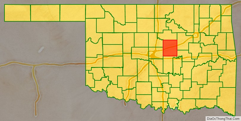
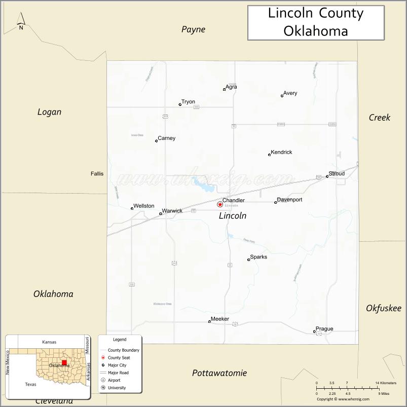
Lincoln County is a county in eastern Central Oklahoma. As of the 2010 census, the population was 34,273. Its county seat is Chandler.
Lincoln County is part of the Oklahoma City, OK Metropolitan Statistical Area.
In 2010, the center of population of Oklahoma was in Lincoln County, near the town of Sparks.
| Name: | Lincoln County |
|---|---|
| FIPS code: | 40-081 |
| State: | Oklahoma |
| Founded: | 1891 |
| Named for: | Abraham Lincoln |
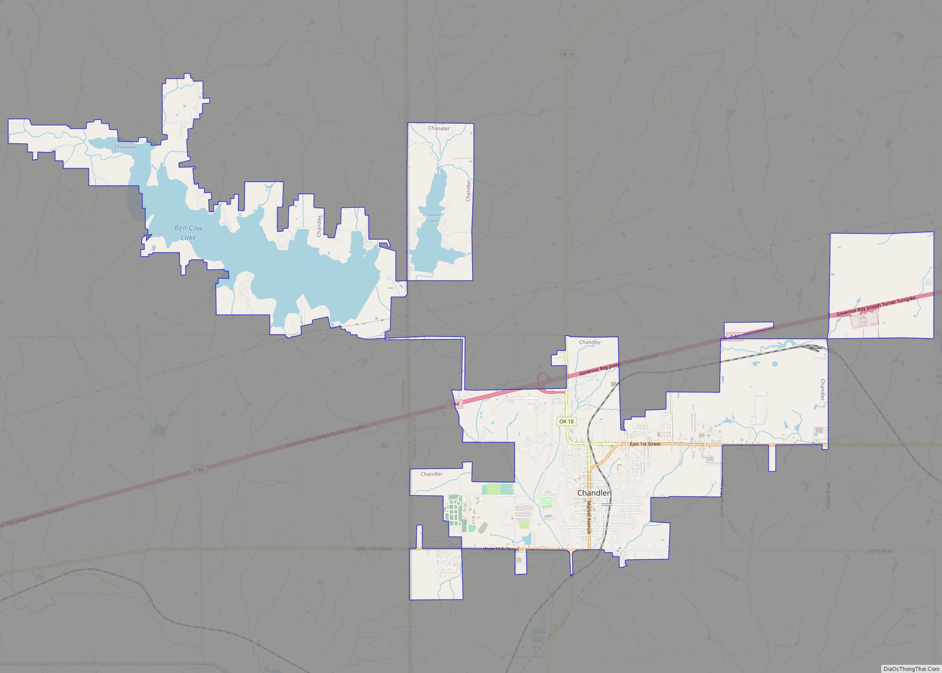
| Seat: | Chandler |
| Largest city: | Chandler |
| Total Area: | 966 sq mi (2,500 km²) |
| Land Area: | 952 sq mi (2,470 km²) |
| Total Population: | 34,273 |
| Population Density: | 35/sq mi (14/km²) |
| Time zone: | UTC−6 (Central) |
| Summer Time Zone (DST): | UTC−5 (CDT) |
| Website: | lincoln.okcounties.org |
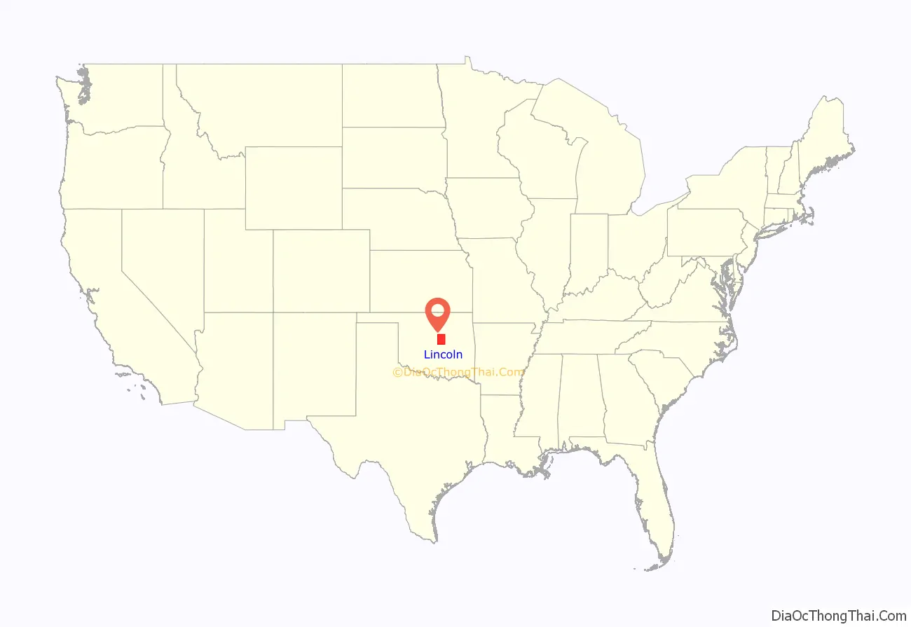
Lincoln County location map. Where is Lincoln County?
History
The United States purchased the large tract of land known as the Louisiana Purchase from France in 1803. Washington Irving, Charles J. Latrobe, and Count Albert de Pourtalès accompanied Henry L. Ellsworth and others on an expedition in Indian Territory that may have passed through the far northwestern corner of the future Lincoln County.
The Osage hunted on land that includes present-day Lincoln County until they ceded the area in an 1825 treaty to the federal government. The government then assigned the land to the Creek and the Seminoles after they were removed from the southeastern United States. Following Quapaw removal in 1834, several small groups of Quapaw dispersed throughout Indian Territory. There were absentee groups of Quapaw living along the Red River and in Creek, Choctaw and Cherokee territory. There is a “Quapaw Creek” in the southern half of Lincoln County which was a village site for one of these absentee groups of Quapaw. After the Civil War in 1866, the Creek and Seminoles were forced to give up lands that included present-day Lincoln County in Reconstruction Treaties for siding with the Confederacy.
The federal government then used the area to resettle the Sac and Fox, Potawatomi, Kickapoo and Ioway tribes. Established in 1870, the Sac and Fox agency, established on the eastern edge of the present-day county, was the first settlement in the area.
In 1890, the Jerome Commission negotiated with the tribes of the area such that they agreed to allotment of their reservation lands, except for the Kickapoo. Indian lands were allotted to individual tribal members and the excess were opened to white settlement in the Land Run of 1891. A separate land run was held later that year for the townsite of the predesignated county seat, Chandler. Lincoln County was organized and designated as County A. In 1895, the Kickapoo agreed to allotment and the land was claimed by settlers during the Land Run of 1895.
The voters chose the name Lincoln County for County A in honor of President Abraham Lincoln, selecting it over the names Sac, Fox, and Springer.
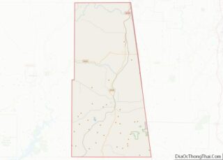
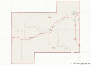
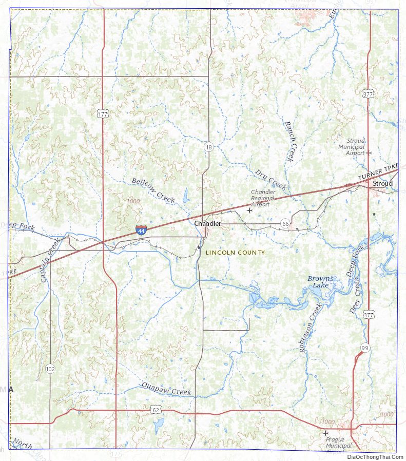
Lincoln County Road Map
Geography
According to the U.S. Census Bureau, the county has an area of 966 square miles (2,500 km), of which 952 square miles (2,470 km) is land and 13 square miles (34 km) (1.4%) is water. The county is drained by the Deep Fork of the Canadian River. The eastern part of the county lies in the Cross Timbers and the Sandstone Hills, while the western part is in the Red Bed Plains.
Major highways
- Interstate 44
- U.S. Highway 62
- U.S. Highway 177
- U.S. Highway 377
- State Highway 18
- State Highway 66
- State Highway 99
- State Highway 102
Adjacent counties
- Payne County (north)
- Creek County (northeast)
- Okfuskee County (southeast)
- Pottawatomie County (south)
- Oklahoma County (southwest)
- Logan County (northwest)
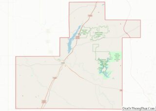
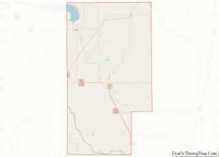
Lincoln County Topographic Map
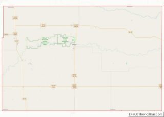
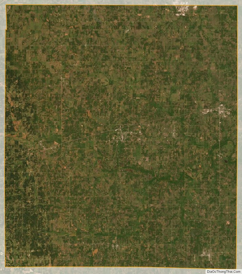
Lincoln County Satellite Map
Lincoln County Outline Map