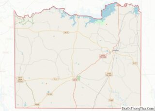
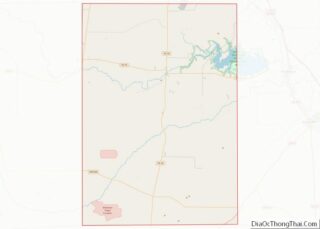
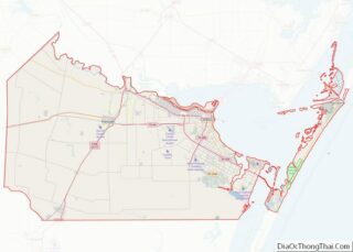
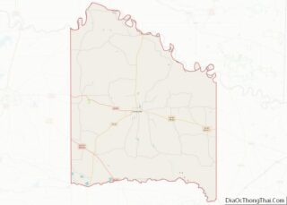
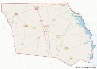
Map of Seminole County, Florida
Seminole County (/ˈsɛmɪnoʊl/, SEM-i-nohl) is a county located in the central portion of the U.S. state of Florida. As of the 2020 census, the population was 470,856, making it the 13th-most populated county in Florida. Its county seat and largest city is Sanford. Seminole County is part of the Orlando-Kissimmee-Sanford, Florida Metropolitan Statistical Area. Seminole ... Read more
Map of Seminole County, Florida
Map of Bartow County, Georgia
Bartow County is located in the eastern part of the U.S. state of Georgia. As of the 2020 census, the population was 108,901, up from 100,157 in 2010. The county seat is Cartersville. Traditionally considered part of northwest Georgia, Bartow County is now included in the Atlanta metropolitan area, mainly in the southeastern part near ... Read more
Map of Bartow County, Georgia
Map of Charlton County, Georgia
Charlton County is the southernmost county of the U.S. state of Georgia, located in the southeastern part of the state. As of the 2020 census, the population was 12,518. The county seat is Folkston. Charlton County overview: Name: Charlton County FIPS code: 13-049 State: Georgia Founded: 1854 Named for: Robert M. Charlton Seat: Folkston Largest ... Read more
Map of Charlton County, Georgia
Map of Crisp County, Georgia
Crisp County is a county located in the central portion of the U.S. state of Georgia. As of the 2020 census, the population was 20,128. The county seat is Cordele. The county was created on August 17, 1905, from Dooly County and named for Georgia Congressman Charles Frederick Crisp. Crisp County comprises the Cordele, GA ... Read more
Map of Crisp County, Georgia
Map of Fayette County, Georgia
Fayette County is a county located in the north central portion of the U.S. state of Georgia. As of the 2020 census, the population was 119,194, an increase from 106,567 in 2010. Fayette County was established in 1821. The county seat, Fayetteville, was established in 1823. Much of Fayette County is bordered on the east ... Read more
Map of Fayette County, Georgia
Map of Harris County, Georgia
Harris County is a county located in the west-central portion of the U.S. state of Georgia; its western border with the state of Alabama is formed by the Chattahoochee River. As of the 2020 census, the population was 34,668. The county seat is Hamilton. The largest city in the county is Pine Mountain, a resort ... Read more
Map of Harris County, Georgia
Map of Lee County, Georgia
Lee County is a county located in the U.S. state of Georgia. As of the 2020 census, the population was 33,163. Its county seat is Leesburg ans was established in 1825. Lee County is included in the Albany, GA Metropolitan Statistical Area. Lee County overview: Name: Lee County FIPS code: 13-177 State: Georgia Founded: 1826 ... Read more
Map of Lee County, Georgia
Map of Morgan County, Georgia
Morgan County is a county located in the north central Piedmont region and the lake country region of the U.S. state of Georgia. As of the 2020 census, the population was 20,097. The county seat is Madison. Since the early 21st century, the county has had a housing boom. It has proximity to Lake Oconee, ... Read more
Map of Morgan County, Georgia
Map of Randolph County, Georgia
Randolph County is a county located in the southwestern portion of the US state of Georgia and is considered part of the Black Belt, historically an area of plantations. As of the 2020 census, the population was 6,425, roughly one-third of its peak population in 1910, when there were numerous agricultural workers. The county seat ... Read more
Map of Randolph County, Georgia
Map of Thomas County, Georgia
Thomas County is a county located in the U.S. state of Georgia. As of the 2020 census the population was 45,798. The county seat is Thomasville. Thomas County comprises the Thomasville, GA Micropolitan Statistical Area. Thomas County overview: Name: Thomas County FIPS code: 13-275 State: Georgia Founded: 1825 Named for: Jett Thomas Seat: Thomasville Largest ... Read more
Map of Thomas County, Georgia
Map of Webster County, Georgia
Webster County is a county located in the west central portion of the U.S. state of Georgia. As of the 2020 Census reflected a population of 2,348, making it the third-least populous county in Georgia. The county seat is Preston. Webster County overview: Name: Webster County FIPS code: 13-307 State: Georgia Founded: 1853 Named for: ... Read more
Map of Webster County, Georgia
Map of Bear Lake County, Idaho
Bear Lake County is a county in the U.S. state of Idaho. As of the 2020 United States Census the county had a population of 6,372. The county seat is Paris, and Montpelier is the largest city. The county is named after Bear Lake, a large alpine lake at an elevation of 5,924 feet (1,806 m) ... Read more
Map of Bear Lake County, Idaho