Bedford County is a county in the Commonwealth of Pennsylvania. As of the 2020 census, the population was 47,577. The county seat is Bedford.
| Name: | Bedford County |
|---|---|
| FIPS code: | 42-009 |
| State: | Pennsylvania |
| Founded: | March 9, 1771 |
| Named for: | Fort Bedford |
| Seat: | Bedford |
| Total Area: | 1,017 sq mi (2,630 km²) |
| Land Area: | 1,012 sq mi (2,620 km²) |
| Total Population: | 47,577 |
| Population Density: | 47/sq mi (18/km²) |
| Time zone: | UTC−5 (Eastern) |
| Summer Time Zone (DST): | UTC−4 (EDT) |
| Website: | bedfordcountypa.org |
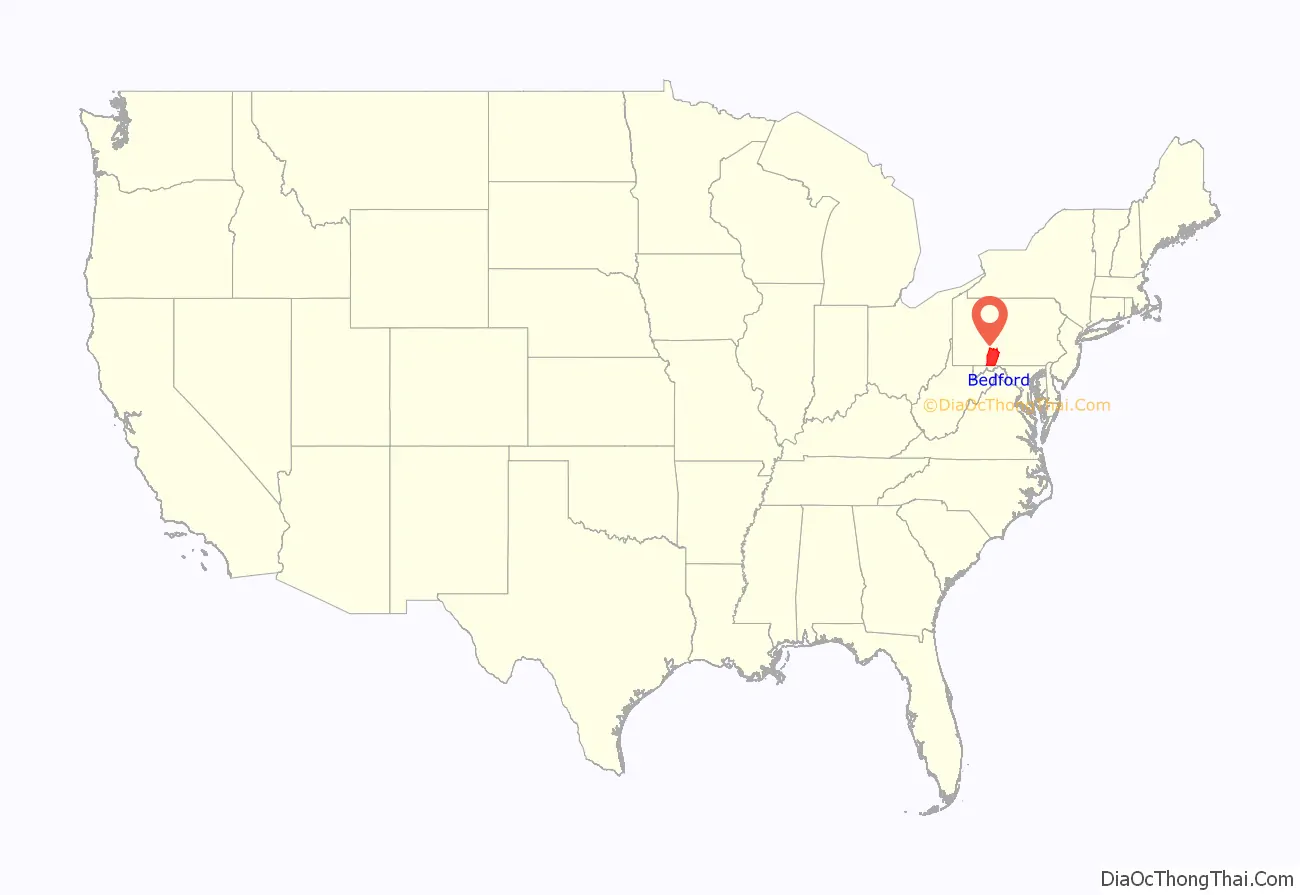
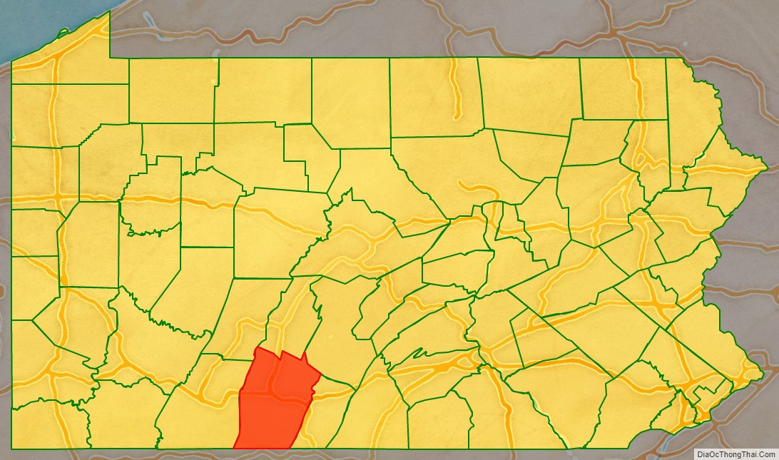
Bedford County location map. Where is Bedford County?
History
18th century
In 1750, Robert MacRay, a Scots-Irish immigrant, opened the first trading post in Raystown (which is now Bedford) on the land that is now Bedford County. The early Anglo-American settlers had a difficult time dealing with raids from Native Americans. In 1754 fierce fighting erupted as Native Americans became allied with the British or French in the North American front, known as the French and Indian War, of the Seven Years’ War between those nations in Europe.
In 1759, after the capture of Fort Duquesne in Allegheny County, on the Allegheny and Monongahela rivers, English colonists built a road between the fort (which was renamed as Fort Pitt) to the newly built Fort Bedford in Raystown. The English defeated the French in the war and took over their territories in North America east of the Mississippi River. Treaties with the Indians opened more land for future peaceful settlement.
This road followed and improved on ancient Indian trails. In later years it was widened and paved as “Forbes Road”; it is now Route 30. When the Pennsylvania Turnpike was built, this interstate toll road became the main highway through Bedford County.
Bedford County was created on March 9, 1771, from part of Cumberland County and named in honor of Fort Bedford. The 1767 Mason–Dixon line had stabilized the southern border with Maryland. In the aftermath of the American Revolution, the population increased largely due to emigration. Within a lifetime Old Bedford County was greatly reduced from its original boundaries. Huntingdon County was created on September 20, 1787, mainly from the north part of Bedford County, plus an addition of territory on the east (Big Valley, Tuscarora Valley) from Cumberland County. Somerset County was created from part of Bedford County on April 17, 1795. Centre was created on February 13, 1800, from parts of Huntingdon, Lycoming, Mifflin, and Northumberland counties. Cambria County was created on March 26, 1804, from parts of Bedford, Huntingdon, and Somerset Counties. Blair County was created on February 26, 1846, from parts of Huntingdon and Bedford Counties. Finally Fulton County was created on April 19, 1850, from part of Bedford County, setting the county at its current boundaries.
The land was developed into lush farms with woodlands. It was developed as a trading center on the way to Pittsburgh and farther west of Pennsylvania. In 1794, President George Washington came to the county in response to the Whiskey Rebellion.
19th century
In the late 19th century, the Bedford Springs Hotel became an important site for wealthy vacationers. It was built near natural springs that had been important to the Native Americans for hundreds of years. During the administration of President James Buchanan, he moved much of his administration to the hotel, which became the informal summer White House. The U.S. Supreme Court met at the hotel once. It was the only time that the high court met outside of the capital.
During the late 19th century, the county had a population boom, with the number of people doubling between 1870 and 1890. Railroads constructed through the town connected the county with the mining industry. The story of the Lost Children of the Alleghenies originates from Blue Knob State Park in the county.
Bedford County Road Map
Geography
According to the U.S. Census Bureau, the county has a total area of 1,017 square miles (2,630 km), of which 1,012 square miles (2,620 km) is land and 4.6 square miles (12 km) (0.5%) is water. It has a humid continental climate (Dfa/Dfb) and average monthly temperatures in Bedford borough range from 28.1 °F in January to 72.0 °F in July.
Features
- Evitts Mountain
- Morrison Cove
- Tussey Mountain
- Blue Knob, highest mountain in the county at approximately 3,120 feet (950 m)
Adjacent counties
- Blair County (north)
- Huntingdon County (northeast)
- Fulton County (east)
- Allegany County, Maryland (south)
- Somerset County (west)
- Cambria County (northwest)
