Trumbull County is a county in the far northeast portion of U.S. state of Ohio. As of the 2020 census, the population was 201,977. Its county seat and largest city is Warren, which developed industry along the Mahoning River. Trumbull County is part of the Youngstown-Warren-Boardman, OH-PA Metropolitan Statistical Area.
| Name: | Trumbull County |
|---|---|
| FIPS code: | 39-155 |
| State: | Ohio |
| Founded: | July 10, 1800 |
| Named for: | Jonathan Trumbull |
| Seat: | Warren |
| Largest city: | Warren |
| Total Area: | 637 sq mi (1,650 km²) |
| Land Area: | 618 sq mi (1,600 km²) |
| Total Population: | 201,977 |
| Population Density: | 320/sq mi (120/km²) |
| Time zone: | UTC−5 (Eastern) |
| Summer Time Zone (DST): | UTC−4 (EDT) |
| Website: | www.co.trumbull.oh.us |
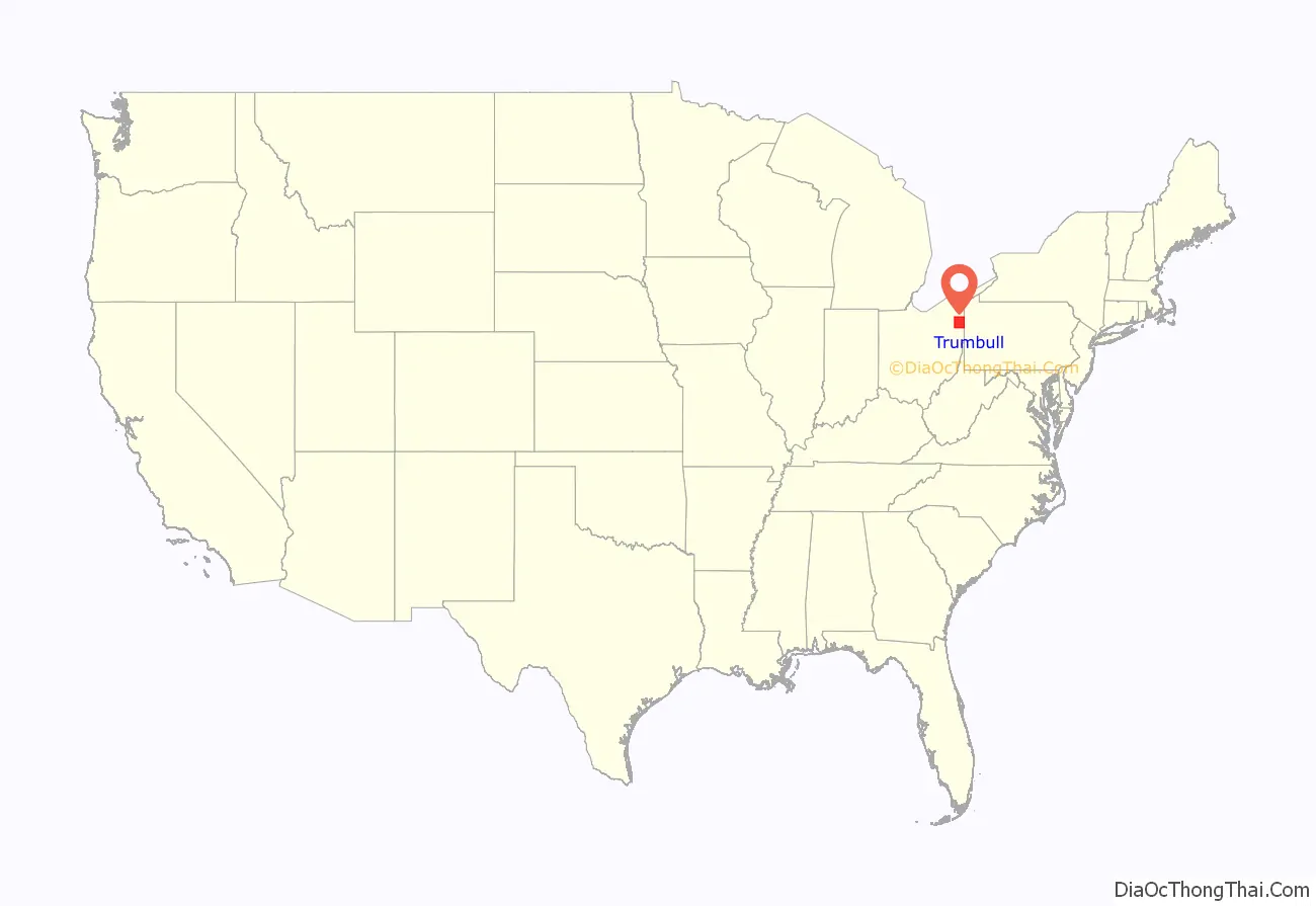
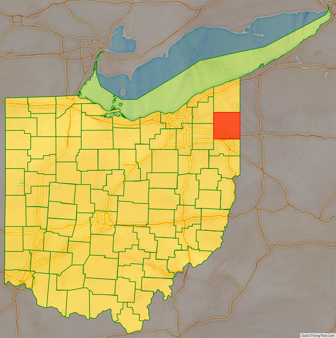
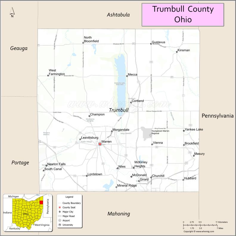
Trumbull County location map. Where is Trumbull County?
History
In the early years of the European discovery and exploration of the New World, the land that became Trumbull County was originally claimed by French explorers as part of the French colony of Canada (New France). Their settlements had some fur traders who interacted with Native American tribes in this area. After losing the Seven Years’ War to Great Britain, France was forced to cede its territories east of the Mississippi River in 1763. Great Britain renamed New France as the Province of Quebec.
Following the United States’ victory in its Revolutionary War, the British were forced to cede this land to the new nation. The federal government convinced Connecticut to give up its claim to the land, but it was known as part of the Connecticut Western Reserve in the Northwest Territory. Connecticut retained sovereignty over some of the eastern portion of what became Ohio, selling this area in 1795 to the Connecticut Land Company, a speculative private development firm. As first organized, Trumbull County consisted of the entire area of the Connecticut Western Reserve before population increased, and it was divided into smaller counties. The county’s main city, Warren, was originally founded as the capitol of the Western Reserve territory. No Native American settlements have ever formally been identified in Trumbull County, however artifacts are uncovered often. Before 1600, the area was ambiguously between the territories of the Erie people to the east and the Whittlesey Culture to the west. It is currently unknown precisely where one tribe’s territory ended and the other began. After the Beaver Wars, the area was frequented by travelling Lenape, Wyandot, Shawnee and Seneca, who all had settlements nearby for a time and shared the valley’s animal, food and medicinal resources. They also regularly panned for salt in the marshes.
The county is named for Jonathan Trumbull, Governor of Connecticut, who once owned the land in this region. Early settlements were made along the Mahoning River and other waterways, which provided transportation access and water power to the industries that developed later in the 19th century.
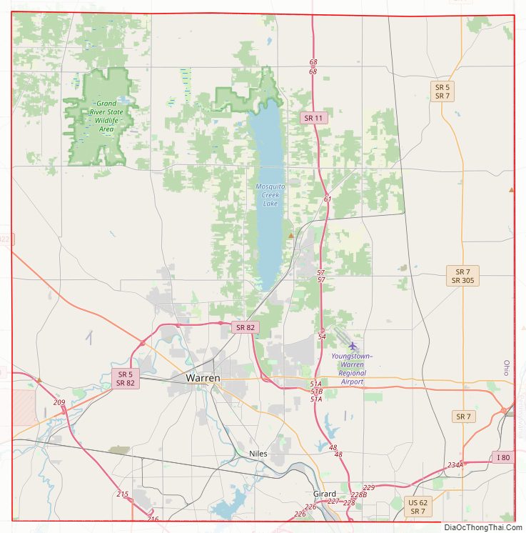
Trumbull County Road Map
Geography
According to the United States Census Bureau, the county has a total area of 637 square miles (1,650 km), of which 618 square miles (1,600 km) is land and 18 square miles (47 km) (2.9%) is water. It is approximately a square with sides of 25 miles; it is the only square county in Ohio.
Adjacent counties
- Ashtabula County (north)
- Crawford County, Pennsylvania (northeast)
- Mercer County, Pennsylvania (east)
- Mahoning County (south)
- Portage County (southwest)
- Geauga County (northwest)
Major highways
- US 62
- US 422
- SR 5
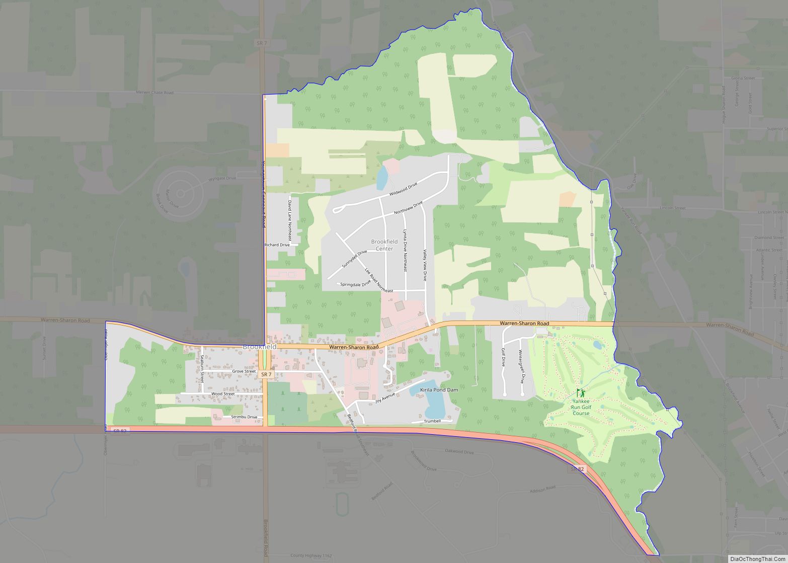
- SR 7
- SR 11
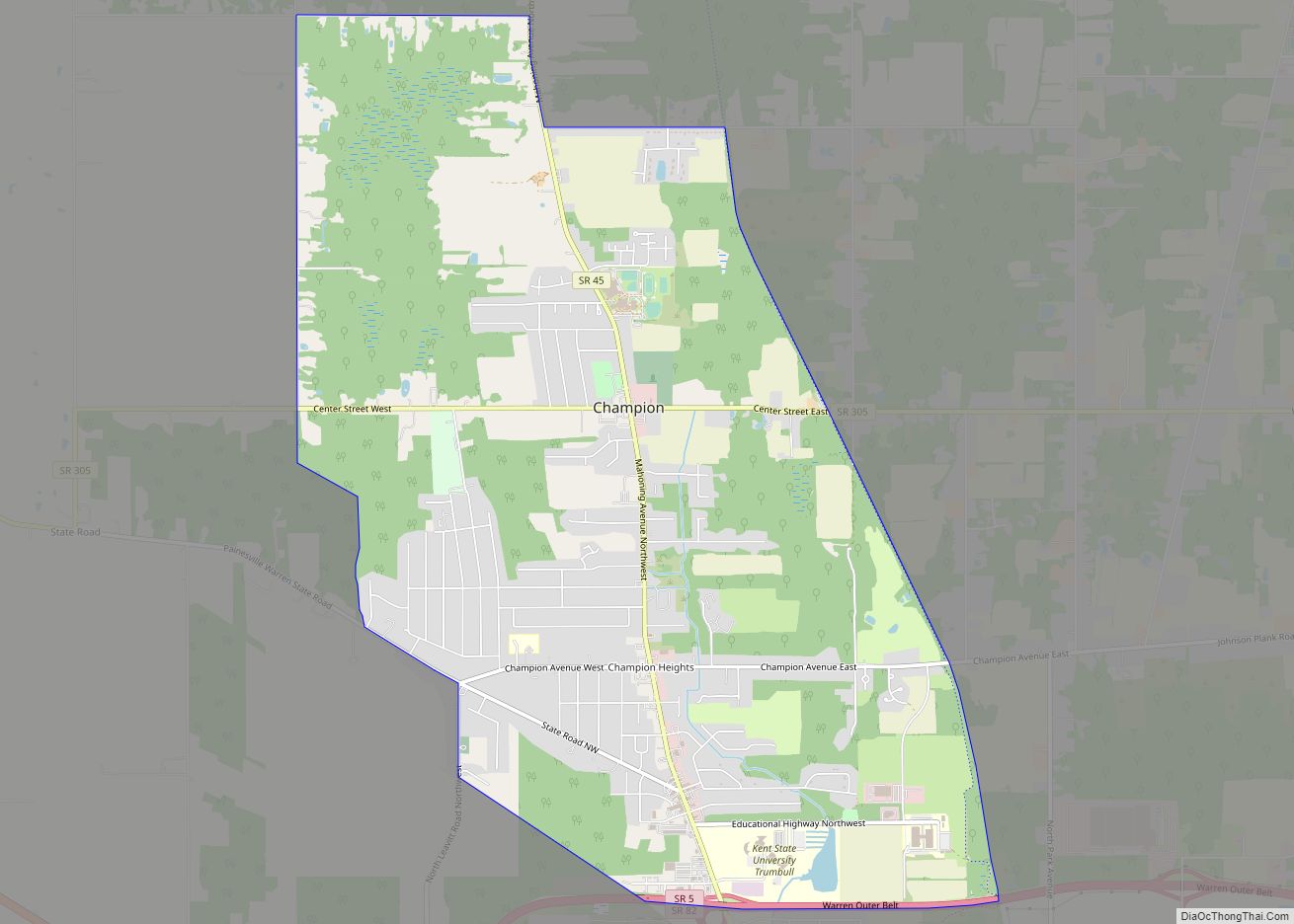
- SR 45
- SR 46
- SR 82
- SR 87
- SR 88
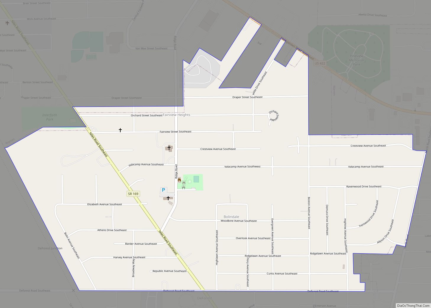
- SR 169
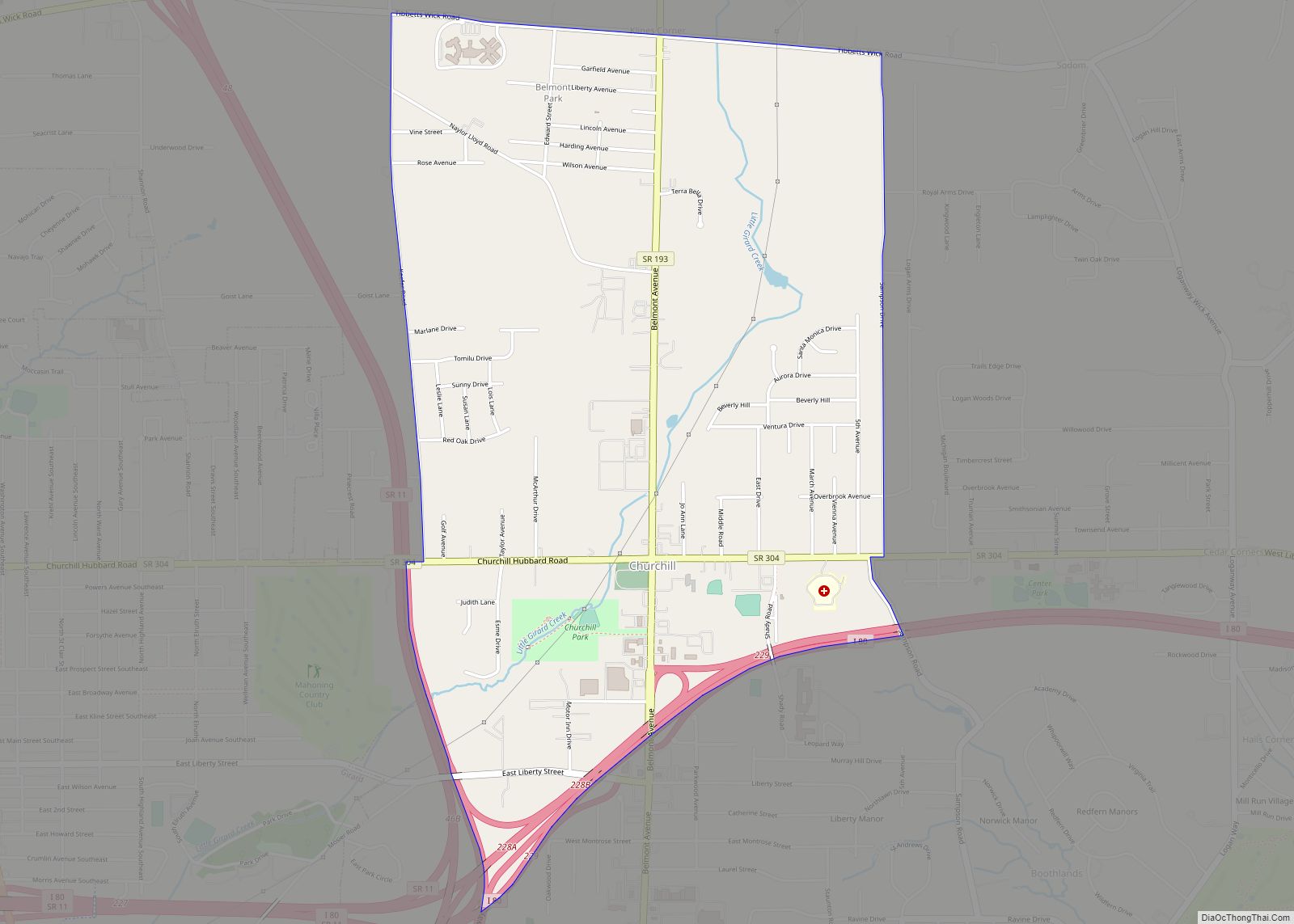
- SR 193
- SR 304
- SR 305
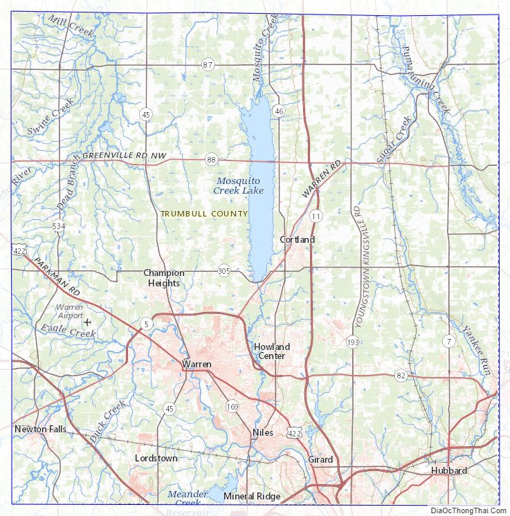
Trumbull County Topographic Map
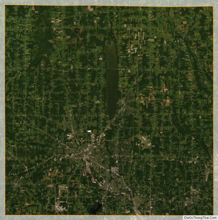
Trumbull County Satellite Map
Trumbull County Outline Map