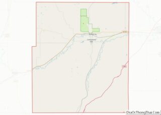
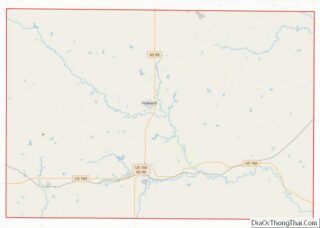
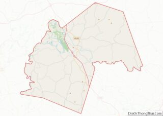
Map of Claiborne County

Map of Claiborne County, Tennessee

Claiborne County is a county located in the U.S. state of Tennessee. As of the 2020 census, the population was 32,043. Its county seat is Tazewell. Claiborne County overview: Name: Claiborne County FIPS code: 47-025 State: Tennessee Founded: October 29, 1801 Named for: William C. C. Claiborne Seat: Tazewell Largest city: Harrogate Total Area: 442 sq mi … Read more

Map of Grainger County

Map of Grainger County, Tennessee

Grainger County is a county located in the U.S. state of Tennessee. As of the 2020 census, the population was 23,527. Its county seat is Rutledge. Grainger County is a part of both the Knoxville Metropolitan Statistical Area and Morristown Metropolitan Statistical Area. Grainger County overview: Name: Grainger County FIPS code: 47-057 State: Tennessee Founded: … Read more

Map of Jefferson County

Map of Jefferson County, Tennessee

Jefferson County is an exurban county located in the U.S. state of Tennessee. As of the 2020 census, the population was 54,683. Its county seat is Dandridge. Jefferson County is part of the Morristown Metropolitan Statistical Area with neighboring Grainger and Hamblen counties. The county, along with the Morristown MSA, is included in the Knoxville-Morristown-Sevierville … Read more

Map of Meigs County

Map of Meigs County, Tennessee

Meigs County is a county located in the U.S. state of Tennessee. As of the 2020 census, the population was 12,758. Its county seat is Decatur. Meigs County overview: Name: Meigs County FIPS code: 47-121 State: Tennessee Founded: 1836 Named for: Return J. Meigs Seat: Decatur Largest town: Decatur Total Area: 217 sq mi (560 km²) Land Area: … Read more

Map of Sequatchie County

Map of Sequatchie County, Tennessee

Sequatchie County is a county located in the U.S. state of Tennessee. As of the 2020 census, the population was 15,826. Its county seat is Dunlap. Sequatchie County is part of the Chattanooga, TN–GA Metropolitan Statistical Area. Sequatchie County overview: Name: Sequatchie County FIPS code: 47-153 State: Tennessee Founded: December 9, 1857 Named for: Cherokee … Read more

Map of White County

Map of White County, Tennessee

White County is a county located in the U.S. state of Tennessee. As of the 2020 census, the population was 27,351. Its county seat is Sparta. White County overview: Name: White County FIPS code: 47-185 State: Tennessee Founded: September 11, 1806 Named for: John White, early settler Seat: Sparta Largest city: Sparta Total Area: 379 sq mi … Read more

Map of Bell County

Map of Bell County, Texas

Bell County is a county in the U.S. state of Texas. It is in Central Texas and its county seat is Belton. As of the 2020 census, its population was 370,647. Bell County is part of the Killeen–Temple, Texas, Metropolitan Statistical Area. The county was founded in 1850 and is named for Peter Hansborough Bell, … Read more

Map of Callahan County

Map of Callahan County, Texas

Callahan County is a county located in the U.S. state of Texas. As of the 2020 census, the population was 13,708. Its county seat is Baird. The county was founded in 1858 and later organized in 1877. It is named for James Hughes Callahan, an American soldier in the Texas Revolution. Callahan County is included … Read more

Map of Comal County

Map of Comal County, Texas

Comal County (/ˈkoʊmæl/ KOH-mal) is a county located on the Edwards Plateau in the U.S. state of Texas. As of the 2020 census, its population was 161,501. Comal County is known for its rich German-Texan and European history. Its county seat is New Braunfels. Comal County is part of the San Antonio-New Braunfels, TX metropolitan … Read more

Map of Dewitt County

Map of Dewitt County, Texas

DeWitt County is a county located in the U.S. state of Texas. As of the 2020 census, its population was 19,824. The county seat is Cuero. The county was founded in 1846 and is named for Green DeWitt, who founded an early colony in Texas. Dewitt County overview: Name: Dewitt County FIPS code: 48-123 State: … Read more

Map of Foard County

Map of Foard County, Texas

Foard County is a county located in the U.S. state of Texas. As of the 2020 census, its population was 1,095. Its county seat is Crowell, which is also the county’s only incorporated community. The county is named for Robert Levi Foard, an attorney who served as a major with the Confederate Army, in the … Read more

Map of Guadalupe County

Map of Guadalupe County, Texas

Guadalupe County overview: Name: Guadalupe County FIPS code: 48-187 State: Texas Founded: 1846 Named for: Guadalupe River Seat: Seguin Largest city: New Braunfels Total Area: 715 sq mi (1,850 km²) Land Area: 711 sq mi (1,840 km²) Total Population: 172,706 Population Density: 240/sq mi (93/km²) Time zone: UTC−6 (Central) Summer Time Zone (DST): UTC−5 (CDT) Website: www.co.guadalupe.tx.us Guadalupe County location map. Where … Read more