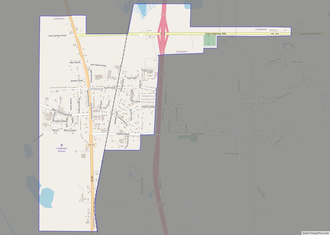
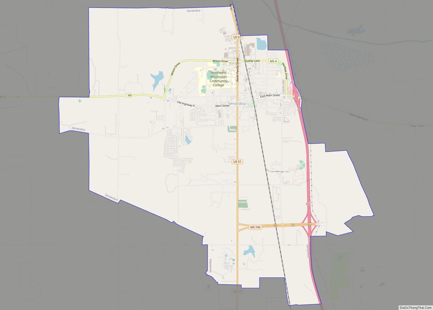
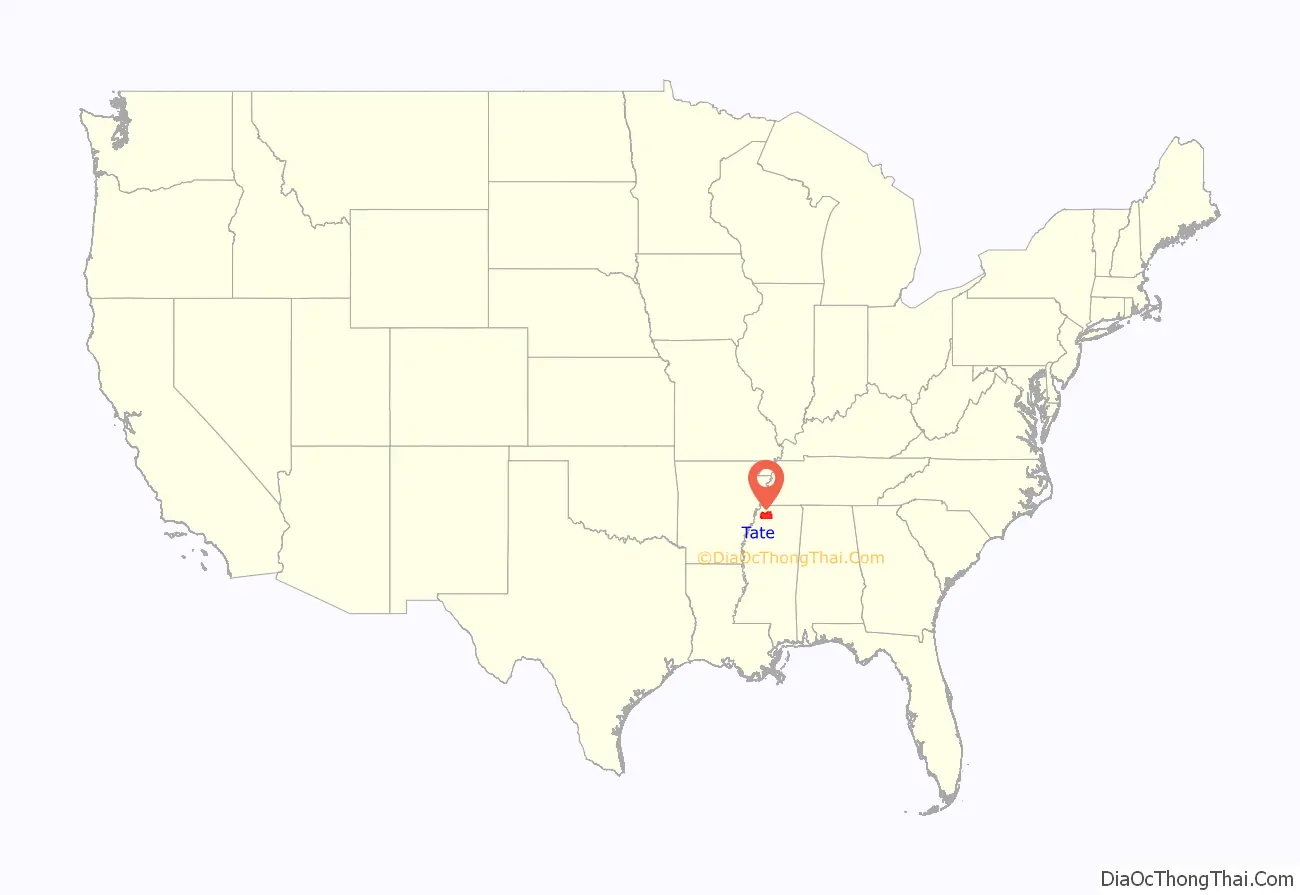
Tate County is a county located in the northwestern portion of the U.S. state of Mississippi. As of the 2020 census, the population was 28,064. Its county seat is Senatobia. Organized in 1873 during the Reconstruction era, from portions of DeSoto, Marshall, and Tunica counties, the county is named for Thomas Simpson Tate, one of the first prominent American settlers of the area.
Tate County is part of the Memphis, TN-MS-AR Metropolitan Statistical Area. It is located about 40 miles (64 km) south of Memphis and one county east of the Mississippi River. This fertile river valley was developed for cotton cultivation in the 19th century.
| Name: | Tate County |
|---|---|
| FIPS code: | 28-137 |
| State: | Mississippi |
| Founded: | 1873 |
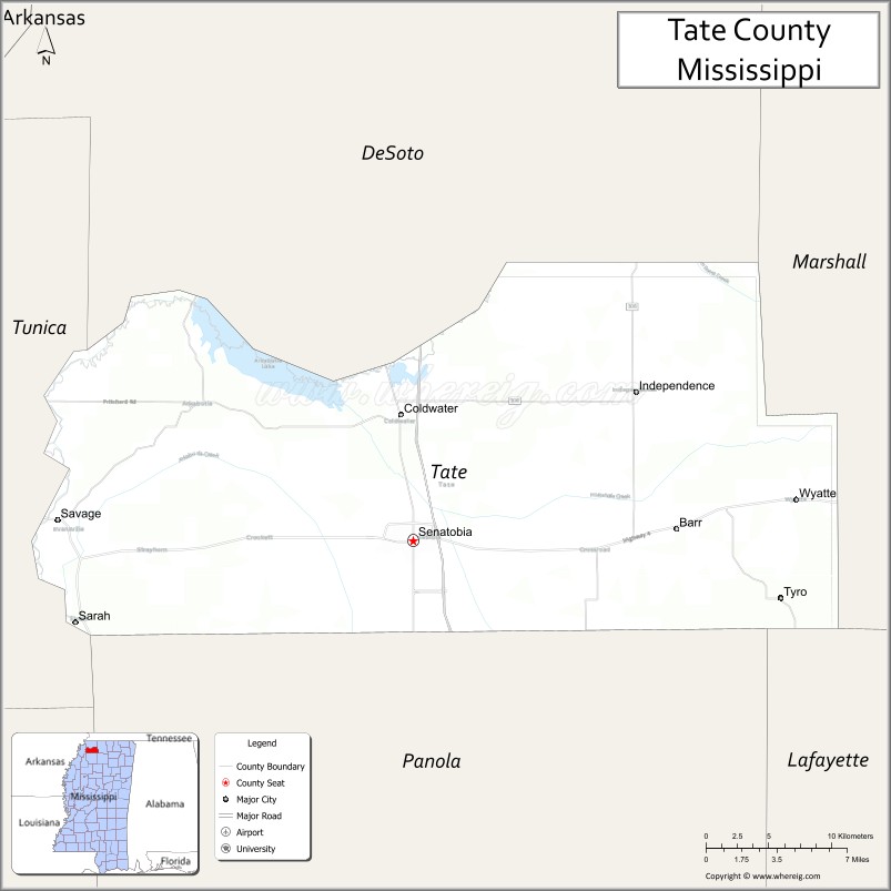
| Seat: | Senatobia |
| Largest city: | Senatobia |
| Total Area: | 411 sq mi (1,060 km²) |
| Land Area: | 405 sq mi (1,050 km²) |
| Total Population: | 28,064 |
| Population Density: | 68/sq mi (26/km²) |
| Time zone: | UTC−6 (Central) |
| Summer Time Zone (DST): | UTC−5 (CDT) |
| Website: | www.tatecountygov.com |
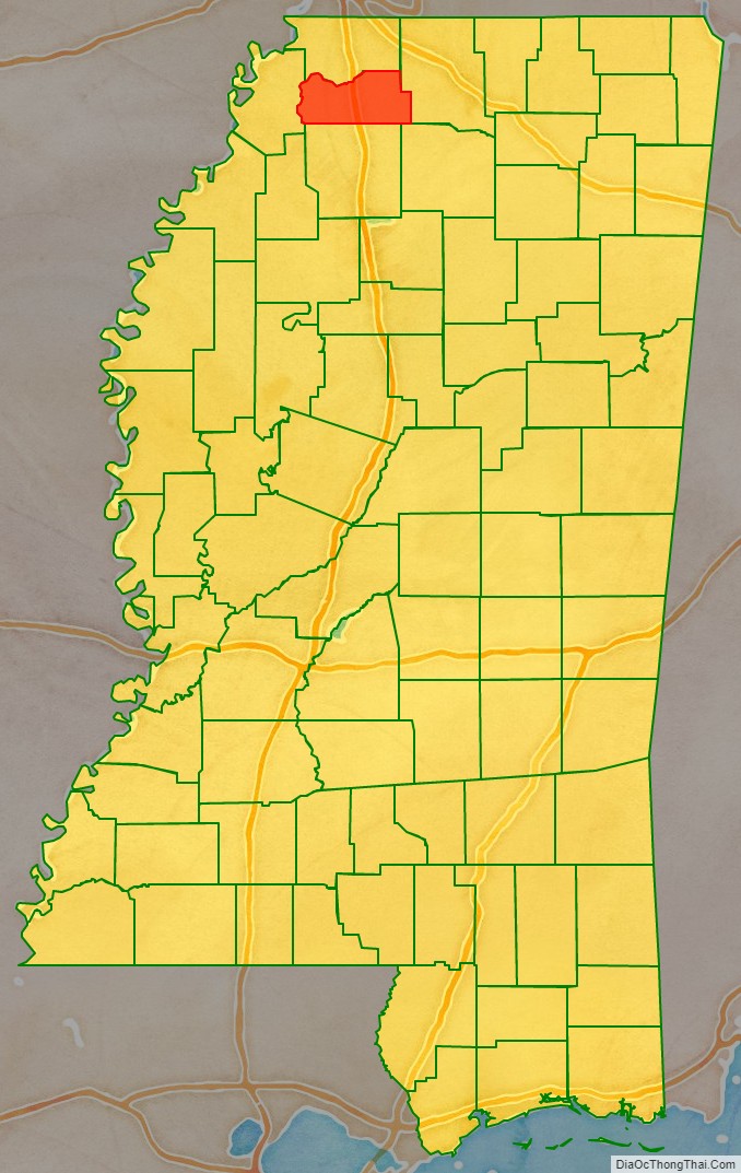
Tate County location map. Where is Tate County?
History
As it was developed for cotton culture in the antebellum years, planters in the county depended on the labor of African American slaves. Blacks comprised a majority of the population for many decades. After Reconstruction, whites sometimes enforced their dominance through political intimidation or violence against blacks.
In 1932, a deputy sheriff and son of County Sheriff C.A. Williams, was allegedly shot by a black man, Jesse Williams. Sheriff Williams illegally organized a posse and murdered at least five and possibly as many as seven black people, family members of a man known as “Judge” Crawford. A month later Jesse Williams was caught, “tried” and lynched by hanging. No charges were ever considered against the sheriff or lynch mob.
Tate County Road Map
Geography
According to the U.S. Census Bureau, the county has a total area of 411 square miles (1,060 km), of which 405 square miles (1,050 km) is land and 6.2 square miles (16 km) (1.5%) is water. It is the third-smallest county in Mississippi by land area.
Major highways
- Interstate 55
- U.S. Route 51
- Mississippi Highway 3
- Mississippi Highway 4
- Mississippi Scenic Highway 304
- Mississippi Highway 305
- Mississippi Highway 306
- Mississippi Highway 740
Adjacent counties
- DeSoto County (north)
- Marshall County (east)
- Lafayette County (southeast)
- Panola County (south)
- Tunica County (west)
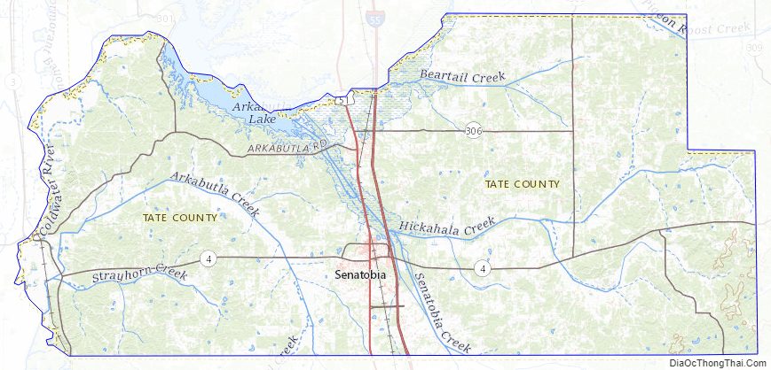
Tate County Topographic Map
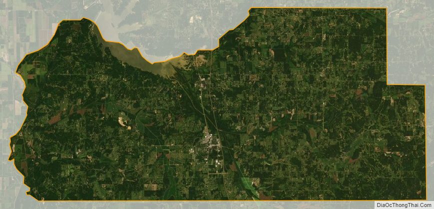
Tate County Satellite Map
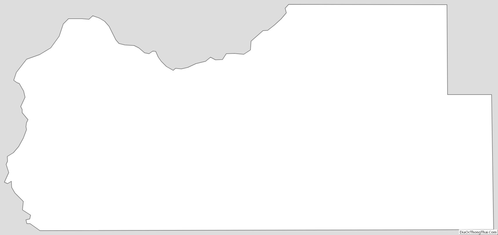
Tate County Outline Map