Map of Lincoln County, Minnesota
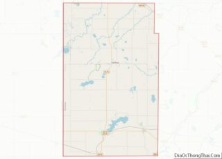
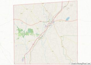
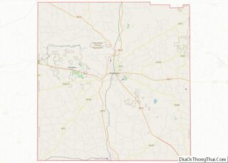
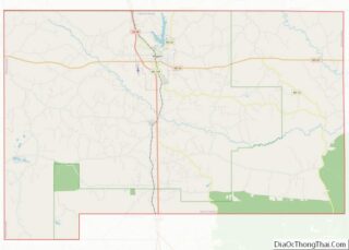
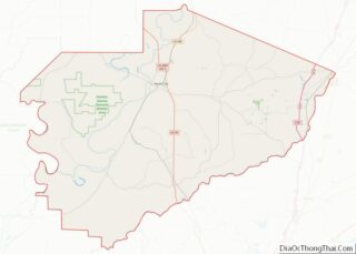
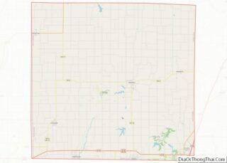
Lincoln County is a county in the U.S. state of Minnesota. As of the 2020 census, the population was 5,640. Its county seat is Ivanhoe. Lincoln County overview: Name: Lincoln County FIPS code: 27-081 State: Minnesota Founded: March 6, 1873 Named for: Abraham Lincoln Seat: Ivanhoe Largest city: Tyler Total Area: 548 sq mi (1,420 km²) Land Area: ... Read more
Map of Lincoln County, Minnesota
Map of Pennington County, Minnesota
Pennington County is a county in the northwestern part of the U.S. state of Minnesota. As of the 2020 census, the population was 13,992. Its county seat is Thief River Falls. Pennington County overview: Name: Pennington County FIPS code: 27-113 State: Minnesota Founded: November 23, 1910 Named for: Edmund Pennington Seat: Thief River Falls Largest ... Read more
Map of Pennington County, Minnesota
Map of Stearns County, Minnesota
Stearns County is a county in the U.S. state of Minnesota. As of the 2020 census, the population was 158,292. Its county seat and largest city is St. Cloud. The county was founded in 1855. It was originally named for Isaac Ingalls Stevens, then renamed for Charles Thomas Stearns. Stearns County is part of the ... Read more
Map of Stearns County, Minnesota
Map of Alcorn County, Mississippi
Alcorn County is a county located in the northeastern portion of the U.S. state of Mississippi. As of the 2020 census, the population was 34,740. Its county seat is Corinth. The county is named in honor of Governor James L. Alcorn. The Corinth Micropolitan Statistical Area includes all of Alcorn County. Alcorn County overview: Name: ... Read more
Map of Alcorn County, Mississippi
Map of Forrest County, Mississippi
Forrest County is located in the U.S. state of Mississippi. As of the 2020 census, the population was 78,158. Its county seat and largest city is Hattiesburg. The county was created from Perry County in 1908 and named in honor of Nathan Bedford Forrest, a Confederate general in the American Civil War and the first ... Read more
Map of Forrest County, Mississippi
Map of Jones County, Mississippi
Jones County is in the southeastern portion of the U.S. state of Mississippi. As of the 2020 census, the population was 67,246. Its county seats are Laurel and Ellisville. Jones County is part of the Laurel micropolitan area. Jones County overview: Name: Jones County FIPS code: 28-067 State: Mississippi Founded: 1826 Named for: John Paul ... Read more
Map of Jones County, Mississippi
Map of Neshoba County, Mississippi
Neshoba County is located in the central part of the U.S. state of Mississippi. As of the 2020 census, the population was 29,087. Its county seat is Philadelphia. It was named after Nashoba, a Choctaw chief. His name means “wolf” in the Choctaw language. The county is known for the Neshoba County Fair and harness ... Read more
Map of Neshoba County, Mississippi
Map of Stone County, Mississippi
Stone County is a county located in the U.S. state of Mississippi. As of the 2020 census, the population was 18,333. Its county seat is Wiggins. Stone County was formed from the northern portion of Harrison County on June 5, 1916. The county was named for John M. Stone, who served as Governor of Mississippi ... Read more
Map of Stone County, Mississippi
Map of Yazoo County, Mississippi
Yazoo County is a county located in the U.S. state of Mississippi. As of the 2020 census, the population was 26,743. The county seat is Yazoo City. It is named for the Yazoo River, which forms its western border. Its name is said to come from a Choctaw language word meaning “River of Death.” Yazoo ... Read more
Map of Yazoo County, Mississippi
Map of Cape Girardeau County, Missouri
Cape Girardeau County is located in the southeastern part of the U.S. state of Missouri; its eastern border is formed by the Mississippi River. At the 2020 census, the population was 81,710. The county seat is Jackson, the first city in the US to be named in honor of President Andrew Jackson. Officially organized on ... Read more
Map of Cape Girardeau County, Missouri
Map of DeKalb County, Missouri
DeKalb County is a county located in the northwest portion of the U.S. state of Missouri. As of the 2020 census, the population was 11,029. Its county seat is Maysville. The county was organized February 25, 1845 and named for General Johann de Kalb, Baron de Kalb, of the Revolutionary War. DeKalb County is part ... Read more
Map of DeKalb County, Missouri
Map of Jackson County, Missouri
Jackson County is located in the western portion of the U.S. state of Missouri, on the border with Kansas. As of the 2020 census, the population was 717,204. making it the second-most populous county in the state (after St. Louis County in the east). It is the most populated county in the Kansas City metropolitan ... Read more
Map of Jackson County, Missouri