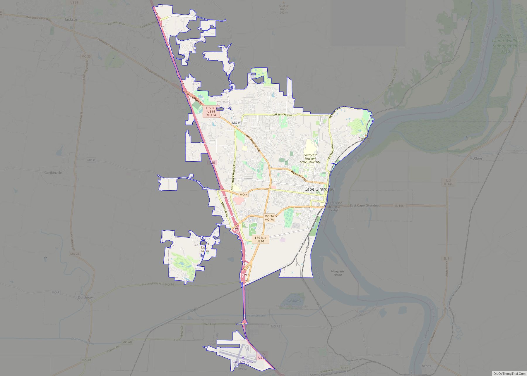
Cape Girardeau County is located in the southeastern part of the U.S. state of Missouri; its eastern border is formed by the Mississippi River. At the 2020 census, the population was 81,710. The county seat is Jackson, the first city in the US to be named in honor of President Andrew Jackson. Officially organized on October 1, 1812, the county is named after Ensign Sieur Jean Baptiste de Girardot, an official of the French colonial years. The “cape” in the county’s name is named after a former promontory rock overlooking the Mississippi River; this feature was demolished during railroad construction. Cape Girardeau County is the hub of the Cape Girardeau–Jackson metropolitan area. Its largest city is Cape Girardeau.
| Name: | Cape Girardeau County |
|---|---|
| FIPS code: | 29-031 |
| State: | Missouri |
| Founded: | October 1, 1812 |
| Named for: | A rock promontory over the Mississippi River and Ensign Sieur Jean Baptiste de Girardot (also spelled Girardeau or Girardat) |
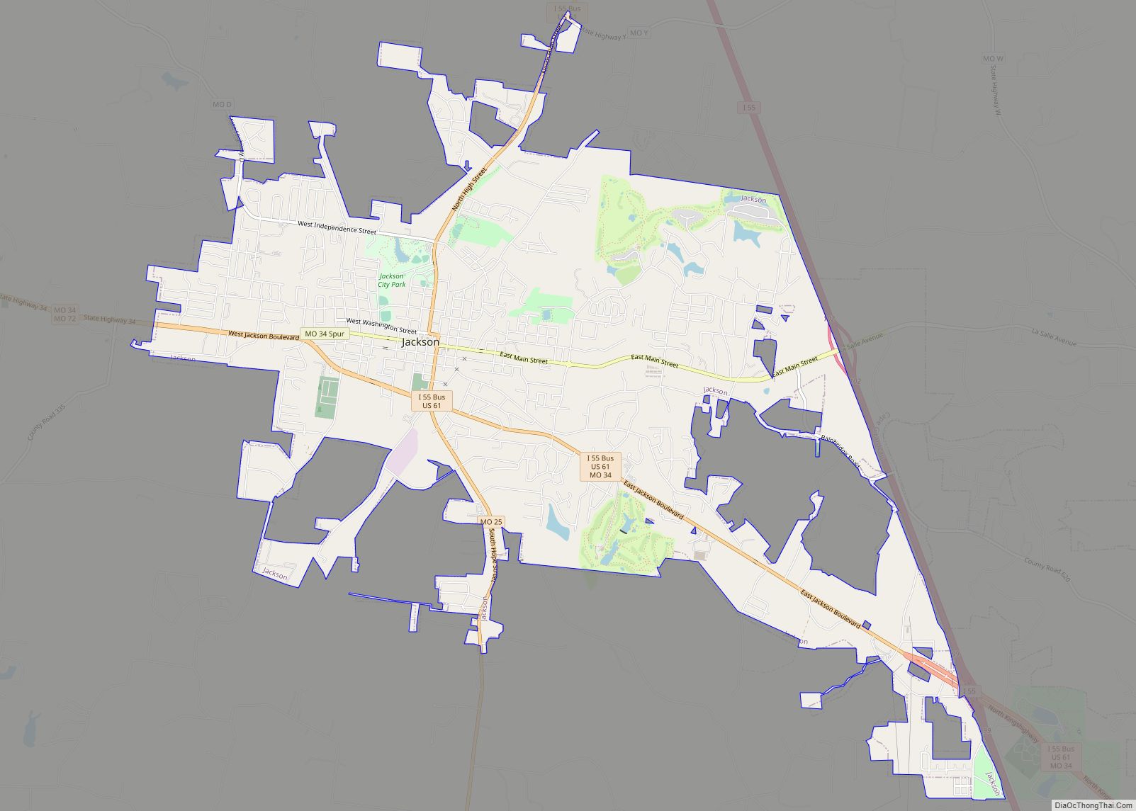
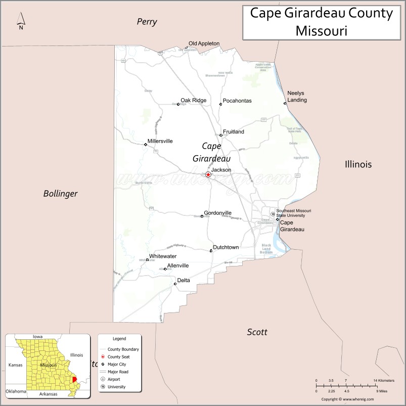
| Seat: | Jackson |
| Largest city: | Cape Girardeau |
| Total Area: | 586 sq mi (1,520 km²) |
| Land Area: | 579 sq mi (1,500 km²) |
| Total Population: | 81,710 |
| Population Density: | 140/sq mi (54/km²) |
| Time zone: | UTC−6 (Central) |
| Summer Time Zone (DST): | UTC−5 (CDT) |
| Website: | www.capecounty.us |
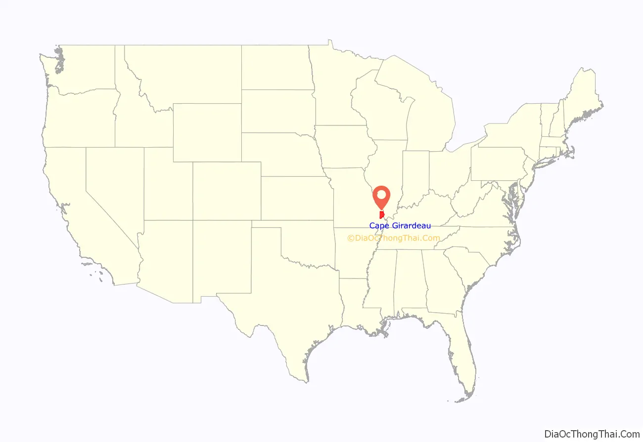
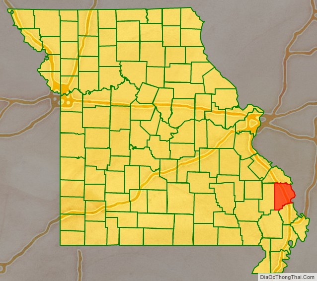
Cape Girardeau County location map. Where is Cape Girardeau County?
History
Cape Girardeau County was organized on October 1, 1812, as one of five original counties in the Missouri Territory after the US made the Louisiana Purchase of 1803. It is named after Ensign Sieur Jean Baptiste de Girardot (also spelled Girardeau or Girardat), a French officer stationed 1704–1720 at Kaskaskia in the Illinois Country of New France. In 1733 he founded a trading post on the Mississippi River, which developed as the present-day city of Cape Girardeau. The “cape” in the county name was a rock promontory overlooking the Mississippi River and Claire’s house; the original cape rock was destroyed by railroad construction.
Jackson, Missouri is the county seat. The first Cape Girardeau County Courthouse was constructed in 1818 by John Davis. This courthouse burned in 1870. The present courthouse in Jackson was completed in 1908 and was designed by P.H. Weathers.
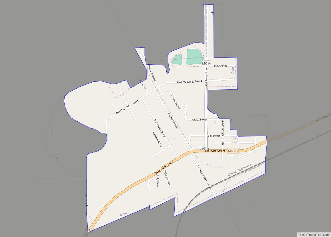
The county is the site of one of the oldest cold cases in the state of Missouri. Bonnie Huffman, a 20-year-old schoolteacher, was found murdered in a ditch just outside Delta on July 2, 1954. Her case was never solved.
Cape Girardeau is referenced in Dave Van Ronk’s song “Hang Me, Oh Hang Me,” which has found a place in the folk canon since its release in 1962. The song was featured prominently in the 2013 film Inside Llewyn Davis. In the second verse, the singer refers to having “been all around Cape Girardeau and parts of Arkansas…poor boy, I’ve been all around this world.”
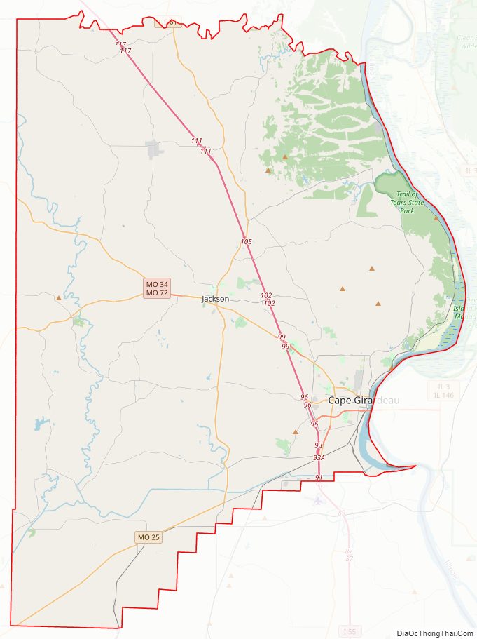
Cape Girardeau County Road Map
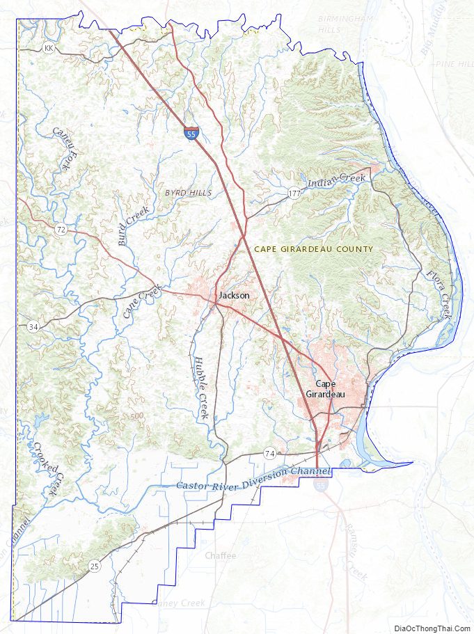
Geography
According to the U.S. Census Bureau, the county has a total area of 586 square miles (1,520 km), of which 579 square miles (1,500 km) is land and 7.8 square miles (20 km) (1.3%) is water.
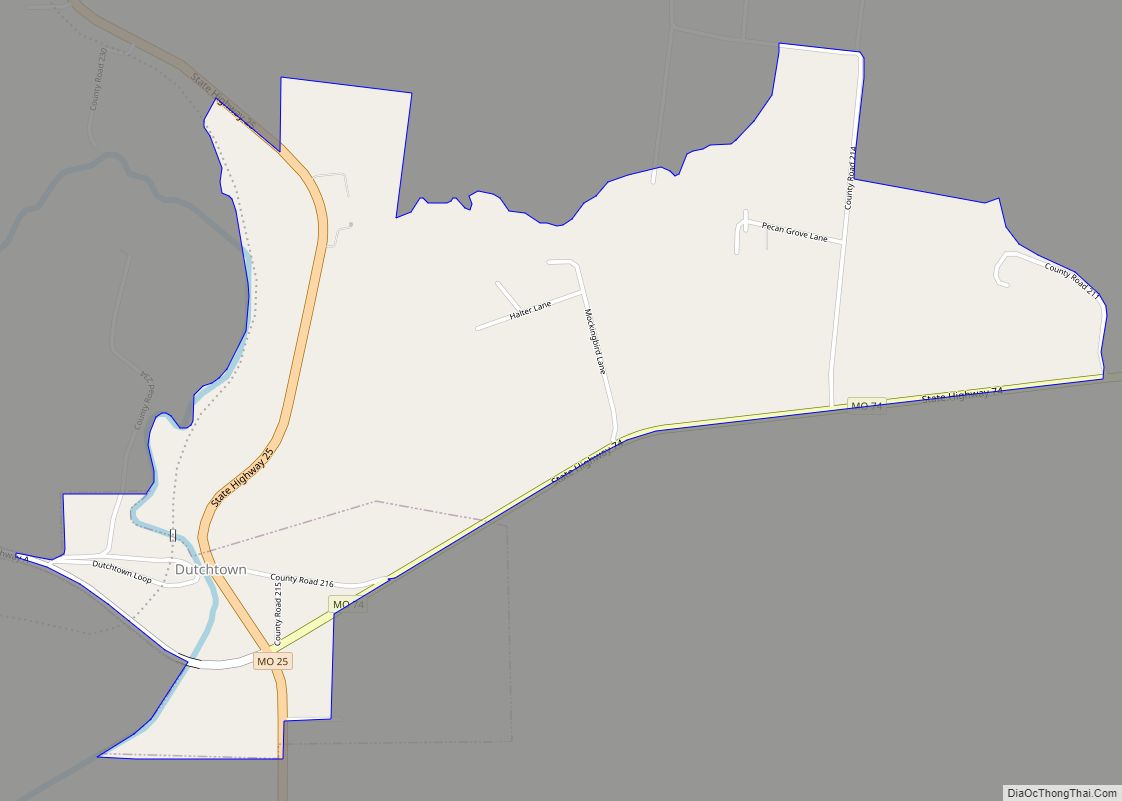
The geography of Cape Girardeau County varies greatly. The areas around the towns of Delta and Dutchtown are flood plains, which were cultivated as cotton plantations. Western and northern areas are hilly and forested.
Adjacent counties
- Perry County (northwest)
- Union County, Illinois (northeast across the river)
- Alexander County, Illinois (east across the Mississippi River)
- Scott County (southeast)
- Stoddard County (south)
- Bollinger County (west)
Major highways
- Interstate 55
- U.S. Route 61
- Route 25
- Route 34
- Route 72
Cape Girardeau County Topographic Map
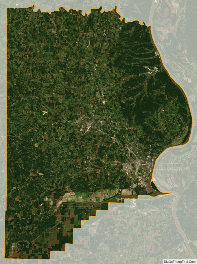
Cape Girardeau County Satellite Map
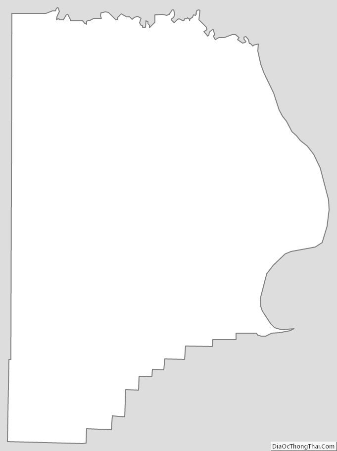
Cape Girardeau County Outline Map