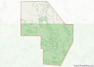
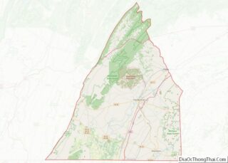
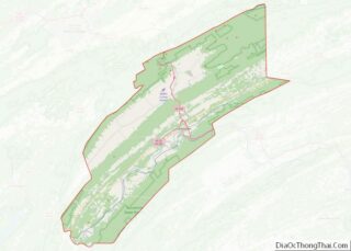
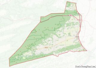
Map of Livingston County, Michigan
Livingston County (/lɪvɪŋstən/ LIV-ing-stən) is a county in the U.S. state of Michigan. As of the 2020 Census, the population was 193,866. It is part of the Detroit-Warren–Dearborn, MI Metropolitan Statistical Area. The county seat and most populous city is Howell. The county was platted in 1833, but for three years remained assigned to Shiawassee ... Read more
Map of Livingston County, Michigan
Map of Oakland County, Michigan
Oakland County is a county in the U.S. state of Michigan. It is part of the metropolitan Detroit area, located northwest of the city. As of the 2020 Census, its population was 1,274,395, making it the second-most populous county in Michigan, behind neighboring Wayne County. It is the largest county in the United States without ... Read more
Map of Oakland County, Michigan
Map of Tuscola County, Michigan
Tuscola County is a county in the Thumb region of the U.S. state of Michigan. As of the 2020 census, the population was 53,323. The county seat is Caro. The county was created by Michigan Law on April 1, 1840, from land in Sanilac County and attached to Saginaw County for administrative purposes. The Michigan ... Read more
Map of Tuscola County, Michigan
Map of Chisago County, Minnesota
Chisago County (/ʃɪˈsɑːɡoʊ/ shi-SAH-goh) is a county in the U.S. state of Minnesota. As of the 2020 census, the population was 56,621. Its county seat is Center City. Chisago County is part of the Minneapolis–St. Paul–Bloomington, MN-WI Metropolitan Statistical Area. Chisago County overview: Name: Chisago County FIPS code: 27-025 State: Minnesota Founded: September 1, 1851 ... Read more
Map of Chisago County, Minnesota
Map of Hubbard County, Minnesota
Hubbard County is a county in the northwestern part of the U.S. state of Minnesota. As of the 2020 census, the population was 21,344. Its county seat is Park Rapids. Part of the Leech Lake Indian Reservation is in the county. Hubbard County overview: Name: Hubbard County FIPS code: 27-057 State: Minnesota Founded: February 26, ... Read more
Map of Hubbard County, Minnesota
Map of Marshall County, Minnesota
Marshall County is a county in the northwestern part of the U.S. state of Minnesota. As of the 2020 census, the population was 9,040. Its county seat is Warren. Marshall County was the location of a claimed UFO incident in 1979, the Val Johnson incident. Marshall County overview: Name: Marshall County FIPS code: 27-089 State: ... Read more
Map of Marshall County, Minnesota
Map of Polk County, Minnesota
Polk County is a county in the northwestern part of the U.S. state of Minnesota. Its population was 31,192 at the 2020 census. Its county seat is Crookston, and the largest community is East Grand Forks. Polk County is part of the Grand Forks, ND-MN metropolitan statistical area. Polk County overview: Name: Polk County FIPS ... Read more
Map of Polk County, Minnesota
Map of Swift County, Minnesota
Swift County is a county in the U.S. state of Minnesota. As of the 2020 census, the population was 9,838. Its county seat is Benson. Swift County overview: Name: Swift County FIPS code: 27-151 State: Minnesota Founded: February 18, 1870 Named for: Henry Adoniram Swift Seat: Benson Largest city: Benson Total Area: 752 sq mi (1,950 km²) Land ... Read more
Map of Swift County, Minnesota
Map of Benton County, Mississippi
Benton County is a county located in the U.S. state of Mississippi. As of the 2020 census, the population was 7,646. Its county seat is Ashland. It is locally believed that residents convinced the post-Civil War Reconstruction government that Benton County was named after U.S. Senator Thomas Hart Benton, but the name actually honored Confederate ... Read more
Map of Benton County, Mississippi
Map of Greene County, Mississippi
Greene County is a county located on the southeast border of the U.S. state of Mississippi. As of the 2020 census, the population was 13,530. Its county seat is Leakesville. Established in 1811, the county was named for General Nathanael Greene of the American Revolutionary War. Greene County overview: Name: Greene County FIPS code: 28-041 ... Read more
Map of Greene County, Mississippi
Map of Lamar County, Mississippi
Lamar County is a county located in the U.S. state of Mississippi. As of the 2020 census, the population was 64,222. Its county seat is Purvis. Named for Confederate Lucius Quintus Cincinnatus Lamar, the county was carved out of Marion County to the west in 1904. Lamar County is part of the Hattiesburg, MS Metropolitan ... Read more
Map of Lamar County, Mississippi
Map of Oktibbeha County, Mississippi
Oktibbeha County is a county in the east central portion of the U.S. state of Mississippi. As of the 2020 census the population was 51,788. The county seat is Starkville. The county’s name is derived from a local Native American word meaning either “bloody water” or “icy creek”. The Choctaw had long occupied much of ... Read more
Map of Oktibbeha County, Mississippi