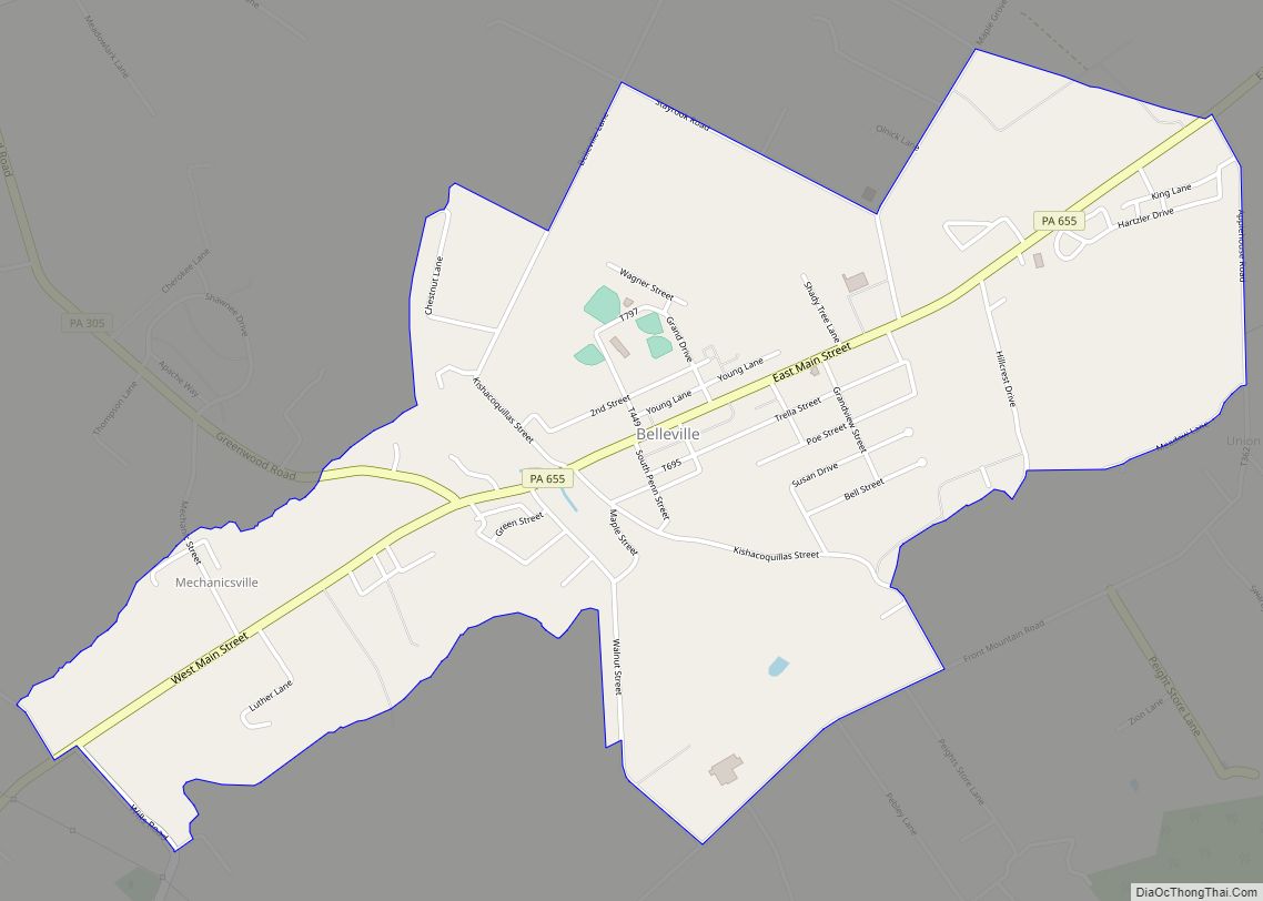
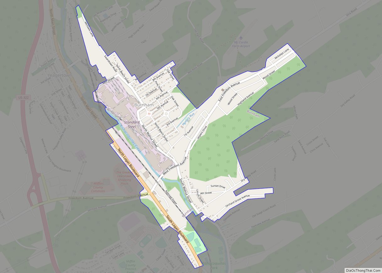
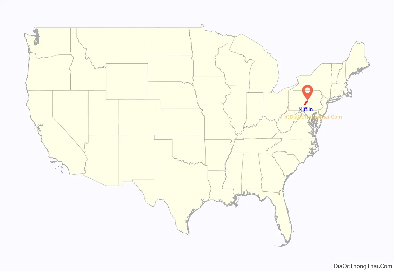
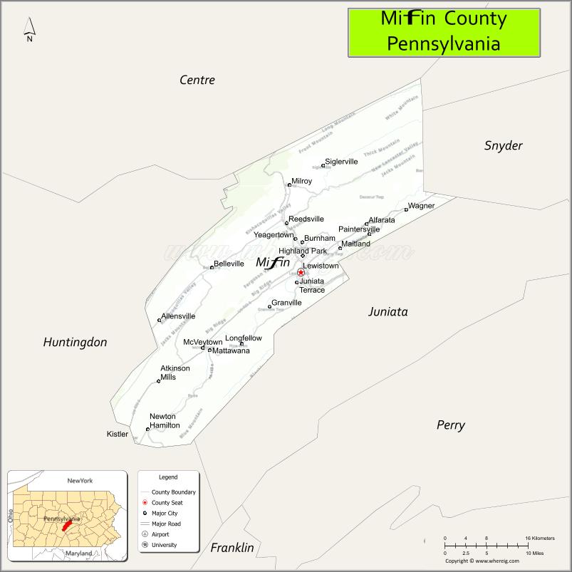
Mifflin County is a county in the Commonwealth of Pennsylvania. As of the 2020 census, the population was 46,143. Its county seat is Lewistown. The county was created on September 19, 1789, from parts of Cumberland County and Northumberland County. It was named for Thomas Mifflin, the first Governor of Pennsylvania. Mifflin County comprises the Lewistown, PA Micropolitan Statistical Area.
| Name: | Mifflin County |
|---|---|
| FIPS code: | 42-087 |
| State: | Pennsylvania |
| Founded: | 19 September 1789 |
| Named for: | Thomas Mifflin |
| Seat: | Lewistown |
| Total Area: | 415 sq mi (1,070 km²) |
| Land Area: | 411 sq mi (1,060 km²) |
| Total Population: | 46,143 |
| Population Density: | 110/sq mi (43/km²) |
| Time zone: | UTC−5 (Eastern) |
| Summer Time Zone (DST): | UTC−4 (EDT) |
| Website: | www.co.mifflin.pa.us |
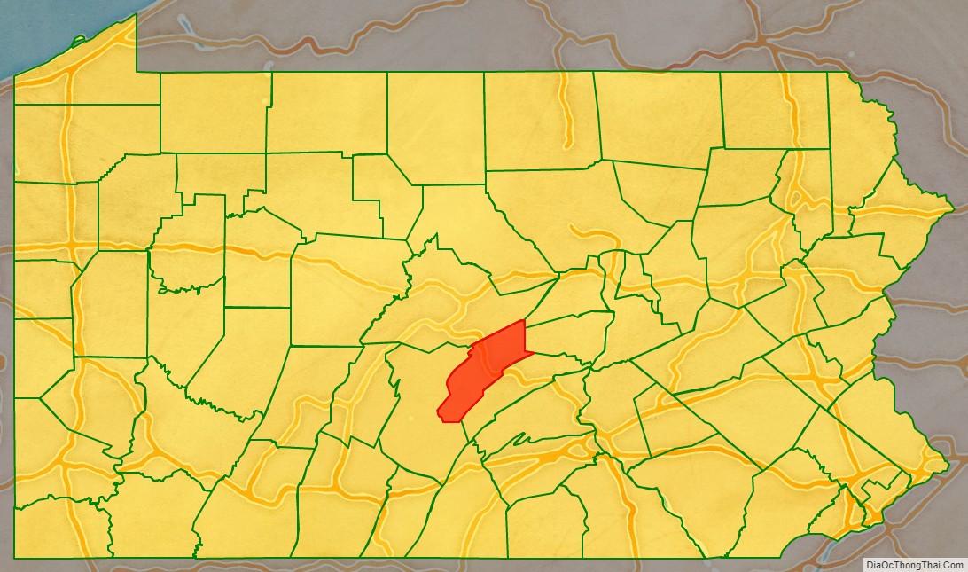
Mifflin County location map. Where is Mifflin County?
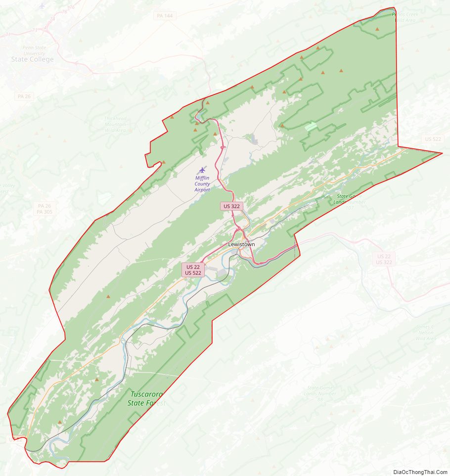
Mifflin County Road Map
Geography
The county terrain is formed by the folded Appalachian Mountain ridges which run from southwest to northeast across the county. The terrain slopes to the northeast, with its highest point (Broad Mtn) 1.25 mile (2 km) East Northeast from the county’s Northwest corner, just south of the county’s border with Centre County. It measures 2,339′ (713m) Above sea level. The Juniata River flows northeast through the lower part of the county, exiting northeastward into Juniata County near Hawstone. The county has a total area of 415 square miles (1,070 km), of which 411 square miles (1,060 km) is land and 3.7 square miles (9.6 km) (0.9%) is water.
Mifflin County is located in, and has its boundaries defined by, the Ridge-and Valley Appalachian Mountains of Pennsylvania. US Route 322, a major divided highway, connects the county to the rest of the state on its route between Harrisburg and State College. US Route 522 also connects the county to the rest of the state on its route between Selinsgrove and Mount Union.
The county has a humid continental climate (Dfa/Dfb) and average temperatures in downtown Lewistown range from 27.8 °F in January to 72.7 °F in July. [1]
Adjacent counties
- Centre County – north
- Union County – northeast
- Snyder County – east
- Juniata County – south
- Huntingdon County – west
Major highways
- US 22
- US 22 Bus.
- US 322
- US 522
- PA 103
- PA 305
- PA 333
- PA 655
Protected areas
- Reeds Gap State Park
- Bald Eagle State Forest (part)
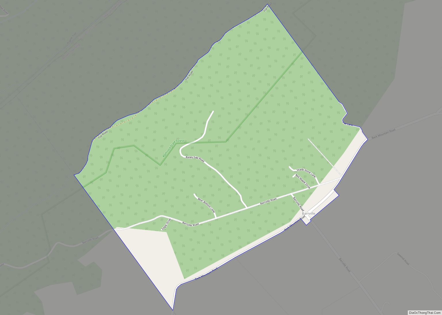
- Rothrock State Forest (part)
- Tuscarora State Forest (part)
- State Game Lands Number 107 (part)
- State Game Lands Number 112B (part)
- White Mountain Wild Area (part of Bald Eagle State Forest)
Mifflin County Topographic Map
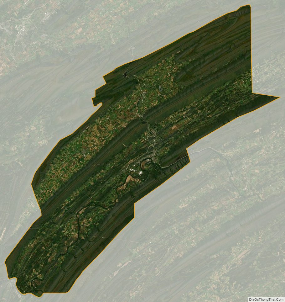
Mifflin County Satellite Map
Mifflin County Outline Map