Franklin County is a county in the Commonwealth of Pennsylvania. As of the 2020 census, the population was 155,932 Its county seat is Chambersburg.
Franklin County comprises the Chambersburg–Waynesboro, PA Metropolitan Statistical Area, which is also included in the Washington–Baltimore combined statistical area. It lies to a large extent within the Cumberland Valley.
| Name: | Franklin County |
|---|---|
| FIPS code: | 42-055 |
| State: | Pennsylvania |
| Founded: | September 9, 1784 |
| Named for: | Benjamin Franklin |
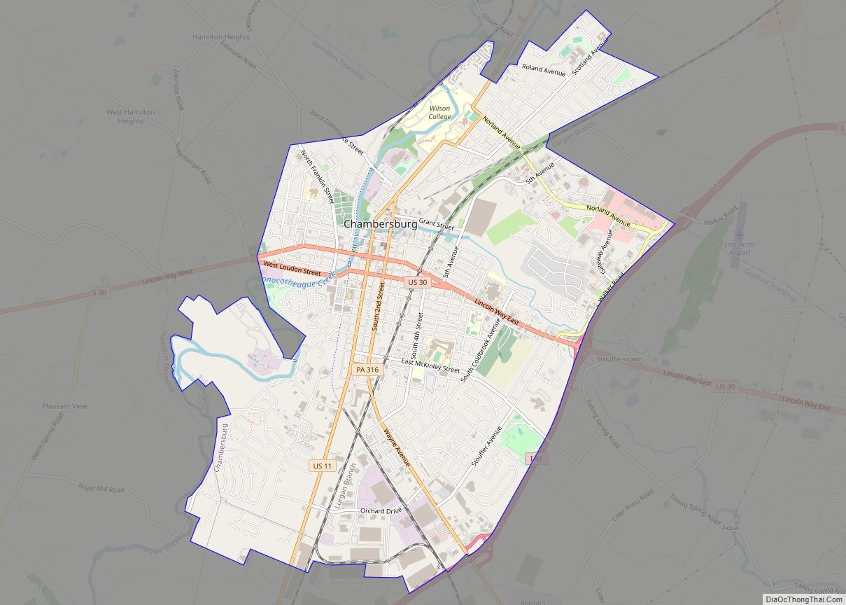
| Seat: | Chambersburg |
| Total Area: | 773 sq mi (2,000 km²) |
| Land Area: | 772 sq mi (2,000 km²) |
| Total Population: | 155,932 |
| Population Density: | 202/sq mi (78/km²) |
| Time zone: | UTC−5 (Eastern) |
| Summer Time Zone (DST): | UTC−4 (EDT) |
| Website: | www.franklincountypa.gov |
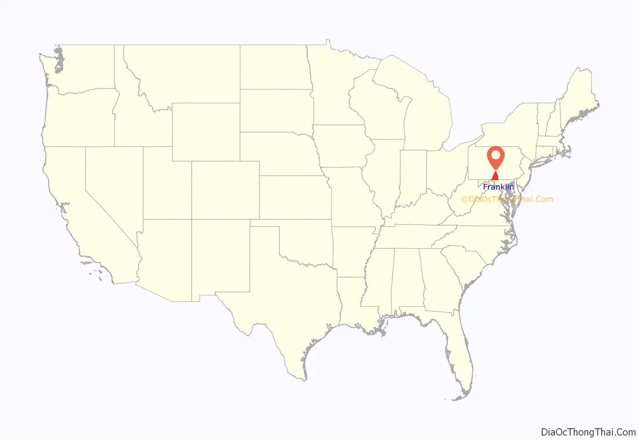
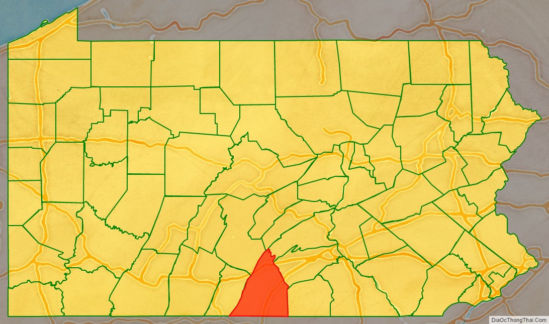
Franklin County location map. Where is Franklin County?
History
Originally part of Lancaster County (1729), then York County (1749), then Cumberland County (1750), Franklin County became an independent jurisdiction on September 9, 1784, relatively soon after the end of the American Revolutionary War. It is named in honor of Founding Father Benjamin Franklin.
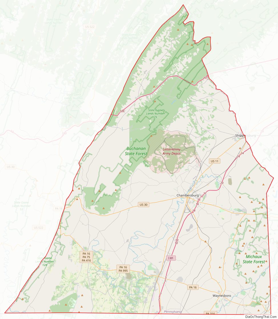
Franklin County Road Map
Geography
According to the U.S. Census Bureau, the county has a total area of 773 square miles (2,000 km), of which 772 square miles (2,000 km) is land and 0.6 square miles (1.6 km) (0.08%) is water.
Franklin County is in the watershed of the Chesapeake Bay and the overwhelming majority of it is drained by the Potomac River, but the Conodoguinet Creek and the Sherman Creek drain northeastern portions into the Susquehanna River. It has a hot-summer humid continental climate (Dfa) and its hardiness zone is 6b. Average monthly temperatures in Chambersburg range from 29.9 °F in January to 74.7 °F in July. [1]
Adjacent counties
- Juniata County (north)
- Perry County (northeast)
- Cumberland County (northeast)
- Huntingdon County (Northwest)
- Adams County (east)
- Frederick County, Maryland (southeast)
- Washington County, Maryland (south)
- Fulton County (west)
Major highways
- I-76 / Penna Turnpike
- I-81
- US 11
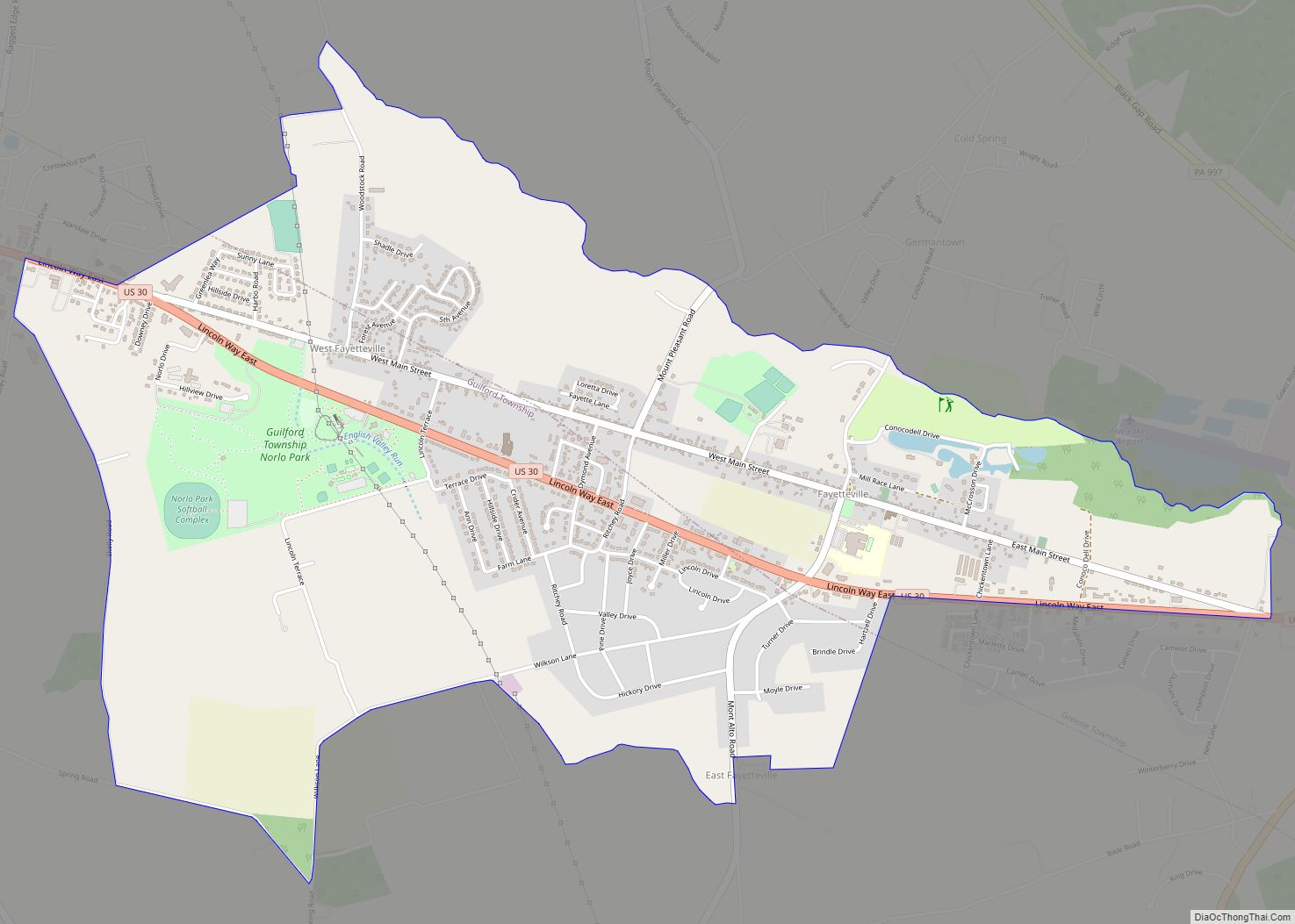
- US 30
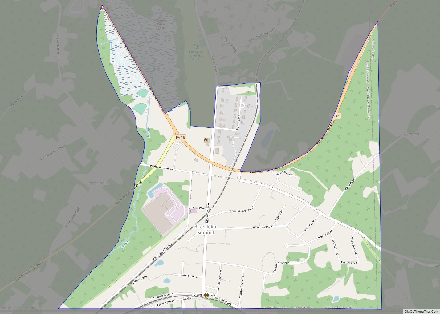
- PA 16
- PA 75
- PA 163
- PA 316
- PA 433
- PA 997
- PA 233
- PA 274
- PA 416
- PA 456
- PA 533
- PA 641
- PA 696
- PA 995
Franklin County Topographic Map
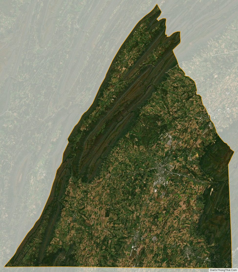
Franklin County Satellite Map
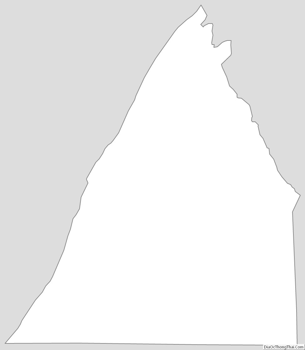
Franklin County Outline Map