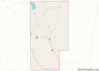
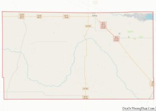
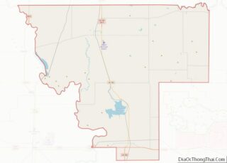
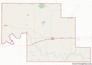
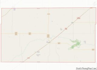
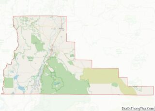
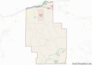
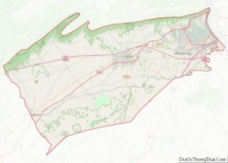
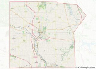
Map of Mason County

Map of Mason County, Texas

Mason County is a rural county located on the Edwards Plateau in the U.S. state of Texas. At the 2020 census, its population was 3,953. Its county seat is Mason. The county is named for Fort Mason, which was located in the county. Mason County overview: Name: Mason County FIPS code: 48-319 State: Texas Founded: … Read more

Map of Motley County

Map of Motley County, Texas

Motley County overview: Name: Motley County FIPS code: 48-345 State: Texas Founded: 1891 Seat: Matador Largest town: Matador Total Area: 990 sq mi (2,600 km²) Land Area: 990 sq mi (2,600 km²) Total Population: 1,063 Population Density: 1.1/sq mi (0.41/km²) Time zone: UTC−6 (Central) Summer Time Zone (DST): UTC−5 (CDT) Website: www.co.motley.tx.us Motley County location map. Where is Motley County? Motley County … Read more

Map of Presidio County

Map of Presidio County, Texas

Presidio County is a county located in the U.S. state of Texas. As of the 2020 census, its population was 6,131. Its county seat is Marfa. The county was created in 1850 and later organized in 1875. Presidio County (K-5 in Texas topological index of counties) is in the Trans-Pecos region of West Texas and … Read more

Map of San Patricio County

Map of San Patricio County, Texas

San Patricio County is located in the U.S. state of Texas. As of the 2020 census, its population was 68,755. Its county seat is Sinton. San Patricio County is part of the Corpus Christi metropolitan statistical area. San Patricio County overview: Name: San Patricio County FIPS code: 48-409 State: Texas Founded: 1836 Named for: Saint … Read more

Map of Taylor County

Map of Taylor County, Texas

Taylor County overview: Name: Taylor County FIPS code: 48-441 State: Texas Founded: 1878 Named for: Edward, George, and James Taylor Seat: Abilene Largest city: Abilene Total Area: 919.3 sq mi (2,381 km²) Land Area: 915.6 sq mi (2,371 km²) Total Population: 143,208 Population Density: 160/sq mi (60/km²) Time zone: UTC−6 (Central) Summer Time Zone (DST): UTC−5 (CDT) Website: www.taylorcountytexas.org Taylor County location … Read more

Map of Waller County

Map of Waller County, Texas

Waller County is a county in the U.S. state of Texas. As of the 2020 census, its population was 56,794. Its county seat is Hempstead. The county was named for Edwin Waller, a signer of the Texas Declaration of Independence and first mayor of Austin. Waller County is included in the Houston-The Woodlands–Sugar Land, TX … Read more

Map of Zapata County

Map of Zapata County, Texas

Zapata County is a county located in the U.S. state of Texas. As of the 2020 census, its population was 13,889. Its county seat is Zapata. The county is named for Colonel José Antonio de Zapata, a rancher in the area who rebelled against Mexico. Zapata County comprises the Zapata, TX Micropolitan Statistical Area. The … Read more

Map of Morgan County

Map of Morgan County, Utah

Morgan County is a county in northern Utah, United States. As of the 2010 census, the population was 9,469. Its county seat and largest city is Morgan. Morgan County is part of the Ogden–Clearfield, UT Metropolitan Statistical Area as well as the Salt Lake City-Provo–Orem, UT Combined Statistical Area. Morgan County overview: Name: Morgan County … Read more

Map of Bennington County

Map of Bennington County, Vermont

Bennington County is a county in the U.S. state of Vermont. As of the 2020 census, the population was 37,347. The shire towns (county seats) are jointly Bennington (“The Southshire”) and Manchester (“The Northshire”), and the largest municipality is Bennington. The county was created in 1778. Bennington County overview: Name: Bennington County FIPS code: 50-003 … Read more

Map of Alleghany County

Map of Alleghany County, Virginia

Alleghany County is an American county located on the far western edge of Commonwealth of Virginia. It is bordered by the Allegheny Mountains, from which the county derives its name, and it is the northernmost part of the Roanoke Region. The county seat is Covington. As of the 2020 census, the population was 15,223. The … Read more

Map of Campbell County

Map of Campbell County, Virginia

Campbell County is a United States county situated in the south central part of the Commonwealth of Virginia. Located in the Piedmont region of Virginia, Campbell borders the Blue Ridge Mountains. The county seat is Rustburg. Grounded on a tobacco cash crop economy, Campbell County was created in 1782 from part of Bedford County. The … Read more

Map of Dickenson County

Map of Dickenson County, Virginia

Dickenson County is a county located in the Commonwealth of Virginia. As of the 2020 census, the population was 14,124. Its county seat is Clintwood. Dickenson County overview: Name: Dickenson County FIPS code: 51-051 State: Virginia Founded: 1880 Named for: William J. Dickenson Seat: Clintwood Largest town: Clintwood Total Area: 334 sq mi (870 km²) Land Area: 331 sq mi … Read more